Updated Tuesday Evening Forecast — February 27th, 2024

TONIGHT: Thickening clouds.Scattered rain showers developing later this evening exiting before daybreak.A low near 40.South breeze 10 mph.

TOMORROW: Mainly gray. Occasional rain showers late morning on. Rising streams and rivers due to snow melt. A high in the low 50s. Southeast winds 10 to 15 mph.

WEDNESDAY NIGHT: Overcast.Rain showers likely moderate at times…changing to snow showers, with up to an inch of accumulation. Blustery to windy. An eventual low ranging 5 to 15 by daybreak with icy spots and slick travel. South winds shifting to northwesterly and increasing to 10 to 25 mph with higher gusts east of the Green Mountains

THURSDAY: More sun than clouds, blustery to windy & colder. A high in the low 20s. Northwest winds 10 to 25 mph with higher gusts near the mountains.

Looking further ahead

THURSDAY NIGHT: Mostly clear and partially moonlit. More clouds late. A low ranging near zero far north, to around 15 above western Vermont valleys.

FRIDAY: Cloudiness gives way to partial afternoon sun. A high in the lower 40s.

SATURDAY: Lots of sunshine and a beauty. A low upper 20s. A high around 50.

SUNDAY: Mostly sunny. A low near 32 with a high mid to upper 50s.

Average lows upper-single digits to upper-teens. Average highs mid to upper 30s.

RH/2-26forecast][end]

Updated Tuesday Morning Forecast — February 27th, 2024

TODAY: Pick of the week. Lots of sunshine, mild and spring-like.Increasing snow melt.A high near record high 55 to 60.Southeast winds 10 to occasionally 20 mph.

TONIGHT: Thickening clouds.Scattered rain showers.A low upper 30s to around 40.South breeze 10 mph.

WEDNESDAY: Mainly gray. Occasional rain showers late morning on. Rising streams and rivers due to snow melt. A high near 50. Southeast winds 10 to 15 mph.

Looking further ahead

WEDNESDAY NIGHT: Overcast.Rain showers likely moderate at times…changing to snow showers, with up to an inch of accumulation. Blustery to windy. An eventual low ranging 5 to 15 by daybreak with icy spots and slick travel. South winds shifting to northwesterly 10 to 25 mph with higher gusts east of the Green Mountains

THURSDAY: More sun than clouds, blustery to windy & colder. A high 20 to 25. Gusty northwesterly winds.

FRIDAY: Cloudiness gives way to partial afternoon sun. A morning low 5 to 15. A high in the lower 40s.

SATURDAY: Lots of sunshine and a beauty. A low upper 20s. A high around 50.

SUNDAY: Mostly sunny. A low near 32 with a high mid to upper 50s.

Average lows upper-single digits to upper-teens. Average highs mid to upper 30s.

RH/2-26forecast][end]

Updated Monday Evening Forecast — February 26th, 2024

TONIGHT: Becoming mostly clear and moonlit with some high cloudiness.A low in the mid-20s. Light southeast winds.

TOMORROW: Lots of sunshine, mild and spring-like.A high pushing to near 55.Southeast winds 10 to occasionally 20 mph.

TUESDAY NIGHT: Clouding up.Rain showers likely in the evening.A low around 40.South breeze 10 mph.

WEDNESDAY: Mainly gray. Scattered rain showers late morning on. A high in the upper 40s to near 50. Southeast winds 10 to 15 mph.

Looking further ahead

WEDNESDAY NIGHT: Overcast.Rain showers likely moderate at times…changing to snow showers, with up to an inch of accumulation. Increasingly blustery to windy. A low 10 to 15. Gusty northwest winds developing.

THURSDAY: More sun than clouds, blustery to windy & colder. A high around 25. Gusty northwesterly winds.

FRIDAY: A few morning clouds, then mostly sunny. A low 10 to 15. A high rebounding to around 40.

SATURDAY: Sunshine gives way to increasing clouds. A low around 30. A high near 50.

Average lows upper-single digits to upper-teens. Average highs mid to upper 30s.

RH/2-26forecast][end]

Updated Monday Morning Forecast — February 26th, 2024

TODAY: Clouds mixed with sunny periods with a chance for a rain shower or brief mountain wet snow flurry far northern areas. A high about 45. Southwest breeze 10 mph shifting to northwesterly this afternoon.

TONIGHT: Becoming mostly clear and moonlit with some high cloudiness.A low in the mid-20s. Little wind.

TUESDAY: Lots of sunshine, mild and spring-like.A high 50 to 55.South to southeast winds 10 to occasionally 20 mph.

Looking further ahead

TUESDAY NIGHT: Clouding up.Rain showers becoming likely.A low around 40.

WEDNESDAY: Gray. Scattered rain showers. A high in the upper 40s to near 50.

THURSDAY: Rain showers…changing to snow showers, moderate at times with minor accumulation early. Blustery to windy & sharply colder with more sun than clouds late morning into the afternoon. A low 10 to 15. A high around 25.

FRIDAY: Mostly sunny. A low 10 to 15. A high rebounding to around 40.

SATURDAY: Sunshine gives way to increasing clouds. A low around 30. A high near 50.

Average lows upper-single digits to upper-teens. Average highs mid to upper 30s.

RH/2-26forecast][end]

Updated Friday Evening Forecast — February 23rd, 2024

TONIGHT: Becoming mostly cloudy.Widely scattered snow showers with a risk of a snow squall northern areas. Minor accumulation. A low ranging from the upper single digits Canadian border to mid-teens. Northwesterly 10 to 15 mph.

Full Snow moon 7:30 AM

TOMORROW: Morning cloudiness, blustery and colder, gives way to mostly sunny skies. A high around 15. Northwest winds 10 to 15 mph lowering wind chills.

SATURDAY NIGHT: Clear and fully moonlit.A low ranging 5 below to 5 above. Light northwest winds.

SUNDAY: Sunny. More clouds arriving late. A high 30 to 32. Light south winds.

Looking further ahead

SUNDAY NIGHT: Mostly cloudy. Chance for flurries overnight, minor accumulation.A low upper 20s.

MONDAY: Morning clouds with a possible stray flurry, then mostly sunny. A high 35 to 40 warmer southern areas.

TUESDAY: Partly to mostly cloudy and milder. Slight chance for a sprinkle in the afternoon. Milder and breezy. A low in the 20s. A high around 45.

WEDNESDAY: Gray, mild and breezy to windy. Chance for rain, possibly moderate at times.A low mid to upper 30s. A high 50 to 55.

Average lows mid-single digits to mid-teens. Average highs in the low to mid 30s.

RH/2-23forecast][end]

Updated Friday Morning Forecast — February 23rd, 2024

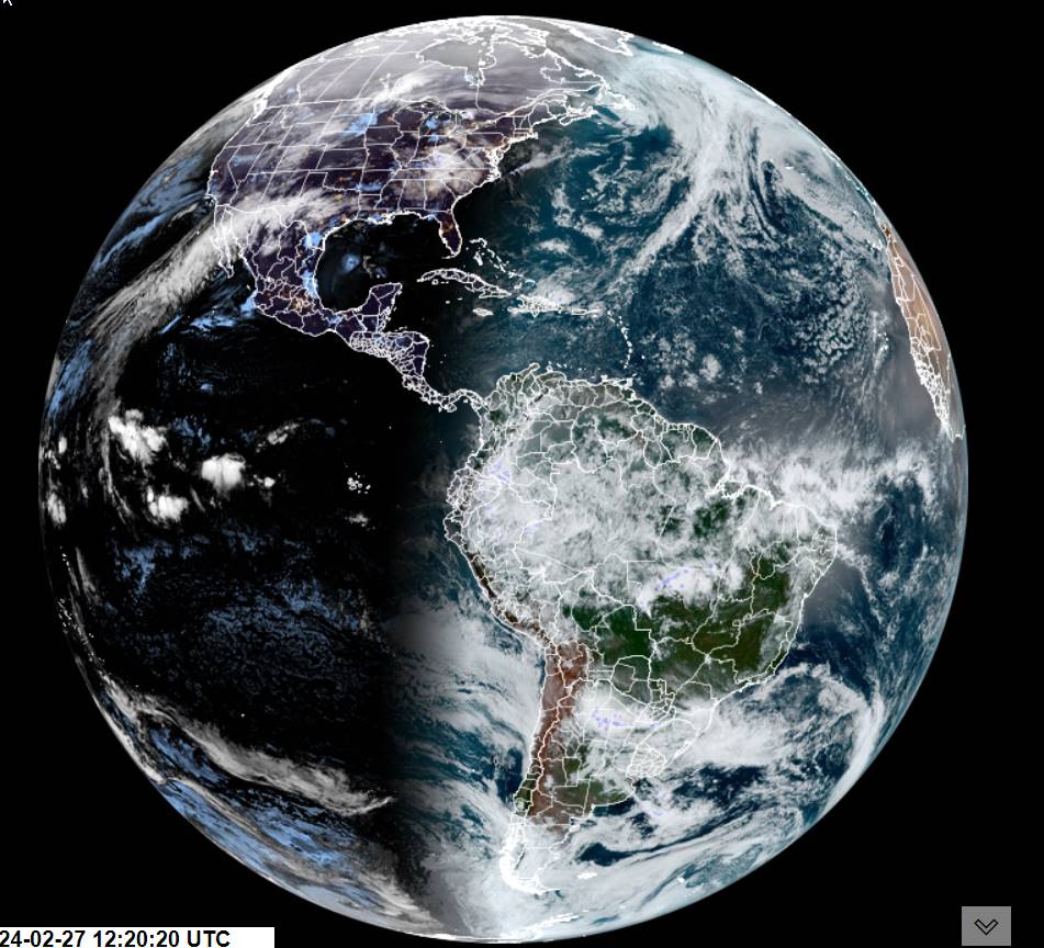
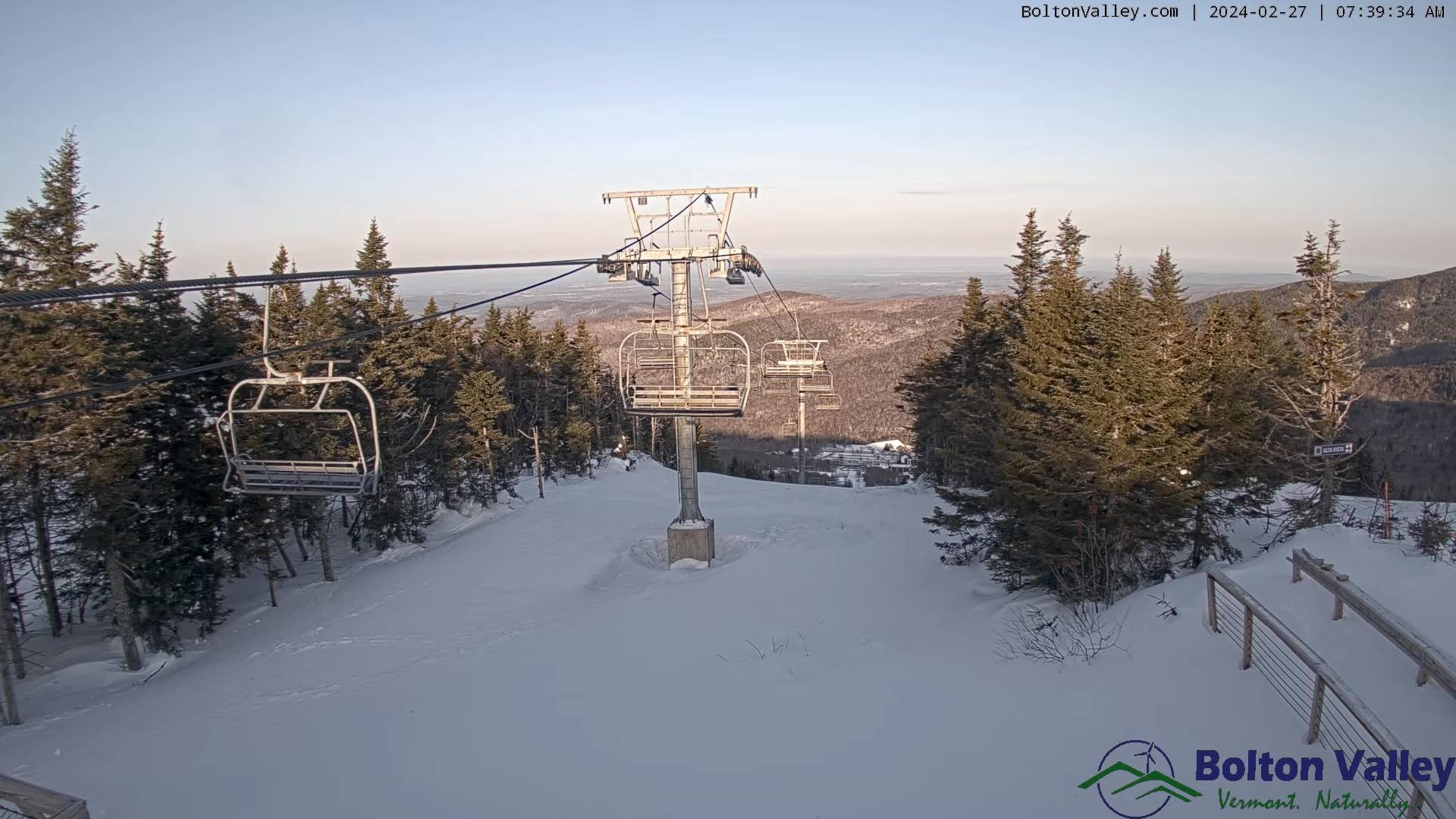
TODAY: A few leftover wet snow showers/flurries exiting southern areas this morning, otherwise intervals of sunshine and milder this afternoon. A high around 45. Light southwest winds.

TONIGHT: Variable clouds.Widely scattered snow showers with a risk of a snow squall northern areas. Minor accumulation. A low ranging from the upper single digits to mid-teens. Winds becoming northwesterly 10 to 15 mph.

Full Snow moon 7:30 AM

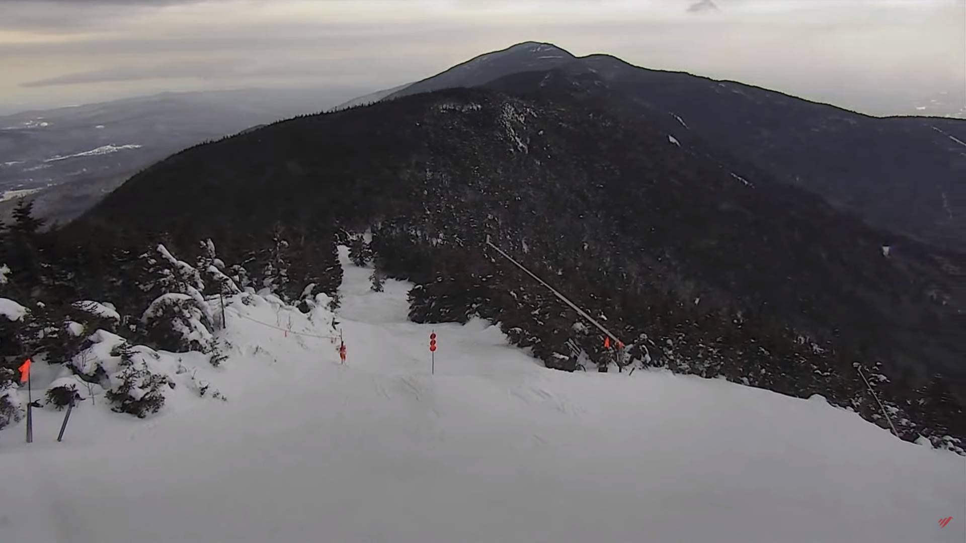
SATURDAY: Morning cloudiness, blustery and colder, gives way to mostly sunny skies. A high around 15. Northwest winds 10 to 15 mph lowering wind chills.

Looking further ahead

SATURDAY NIGHT: Clear and fully moonlit.A low ranging 5 below to 5 above.

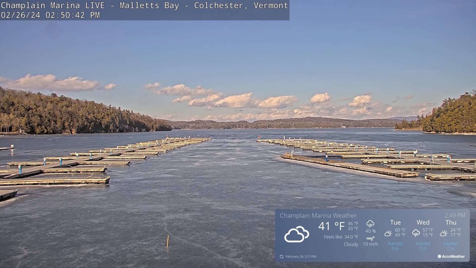
SUNDAY: Sunny. More clouds arriving later on in the afternoon. A high 30 to 32.

MONDAY: Morning clouds with possible stray flurry, then mostly sunny. A low upper 20s. A high 35 to 40 warmer southern areas.

TUESDAY: Partly to mostly cloudy and milder. Slight chance for a sprinkle in the afternoon. Milder and breezy. A low in the 20s. A high around 45.

WEDNESDAY: Gray, mild and breezy to windy. Chance for rain, possibly moderate at times.A low mid to upper 30s. A high 50 to 55.

Average lows mid-single digits to mid-teens. Average highs in the low to mid 30s.

RH/2-23forecast][end]