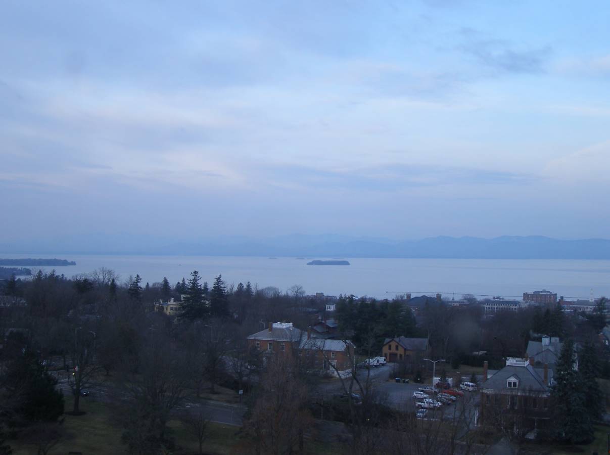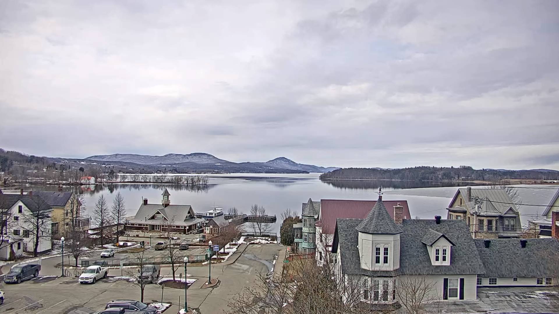
TONIGHT: Clouding up. Rain develops later this evening, some slushy snow accumulation grassy surfaces especially higher terrain central and northern Vermont.Areas of fog. A low around 35. Light easterly winds.
TOMORROW: Gray Periods of morning rain…mixed with slushy snow accumulation elevated terrain with less than an inch…exiting early afternoon to intervals of late day sun. A high in the low 40s. North to northeast winds 10 mph.
FRIDAY NIGHT: Becoming mostly cloudy. A round of rain or snow showers with minor accumulation elevated terrain.A low in the low 30s. Light southwest winds.
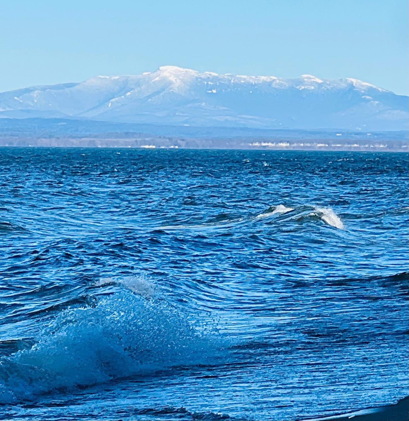
SATURDAY: Mostly cloudy. Widely scattered rain showers mixed with wet snowflakes in the mountains. A high 45 to 50. Light southwest winds.
Looking further ahead
SATURDAY NIGHT: A rising chance for rain showers.A low around 32.
SUNDAY: Lots of clouds.Chance for rain or rain showers mixed with wet snow mountain summits.A high around 45.
MONDAY: Clouds some intervals of sun. Scattered accumulating snow showers or flurries especially in the mountains. Minor accumulation. A low upper 20s near 30. A high mid to upper 30s.
TUESDAY: Scattered accumulating snow showers early, then exiting to intervals of sun in the afternoon. A low in the mid-20s. A high around 30
Average lows mid-teens to low 20s. Average highs mid-30s to low 40s
RH/3-14forecast][end]