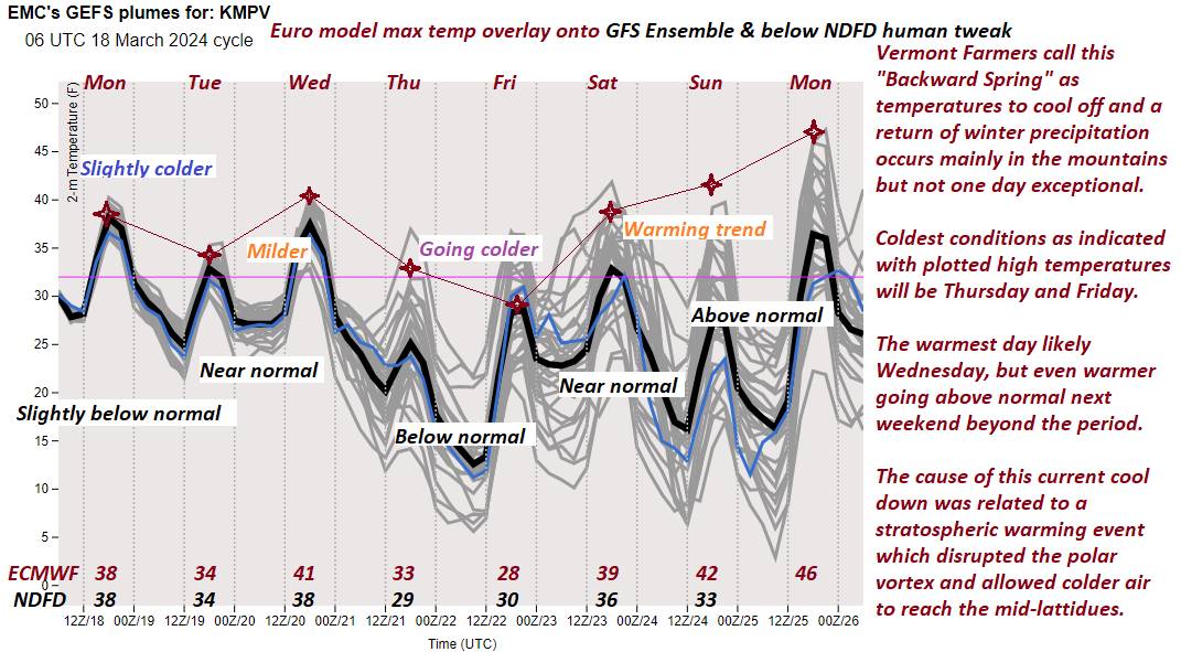
Vernal Equinox this evening 11:06 PM
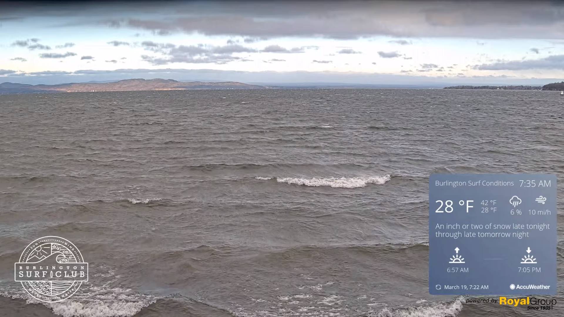
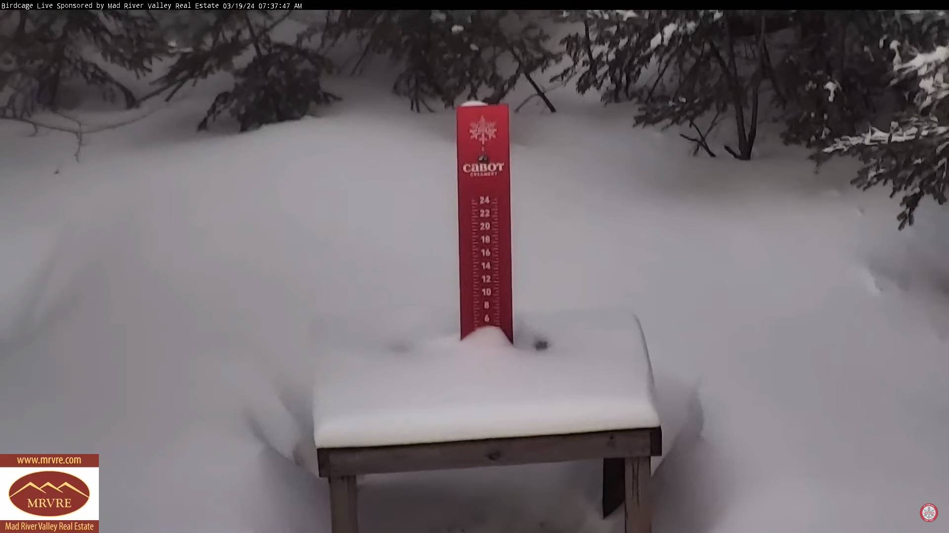
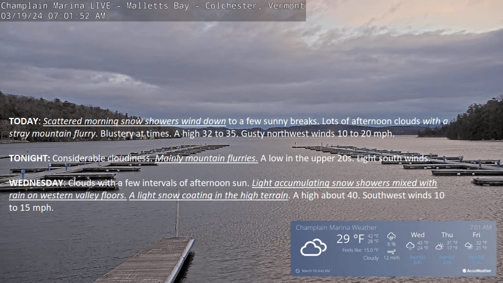
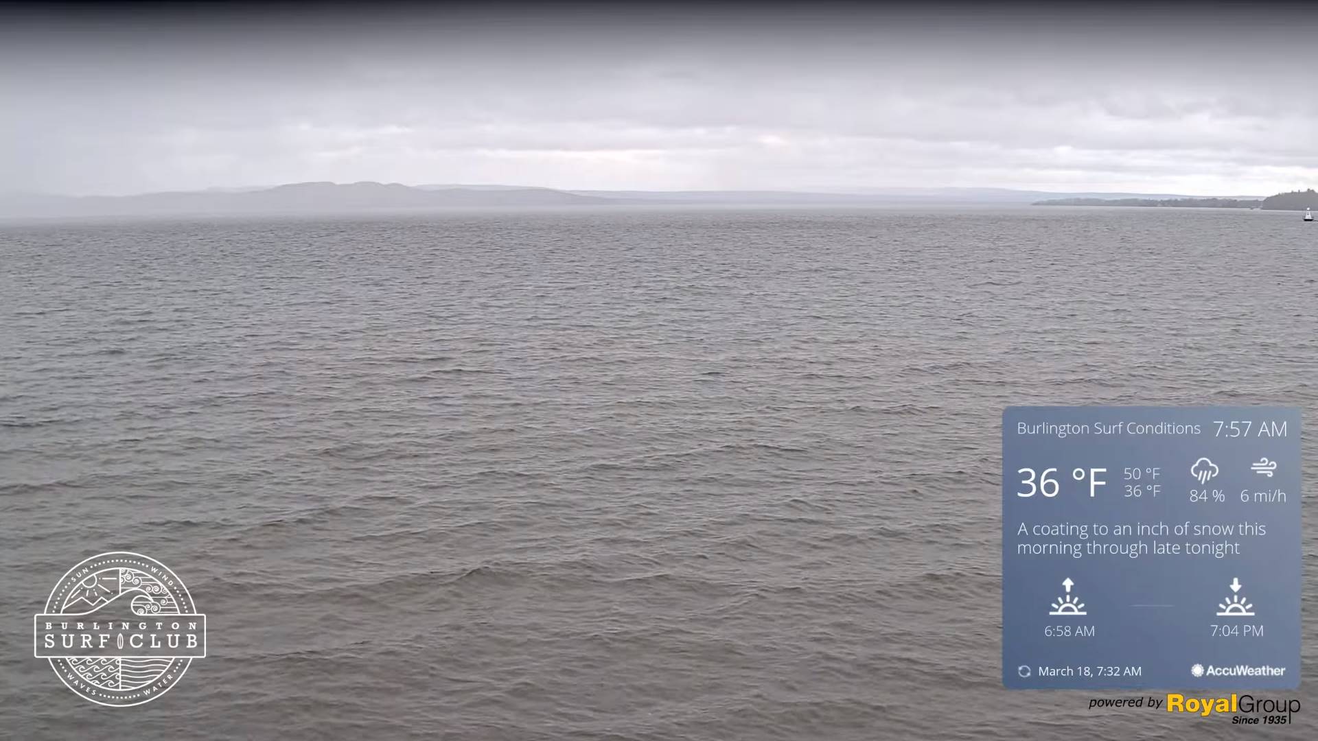
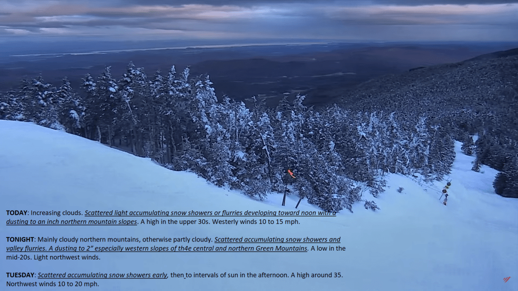
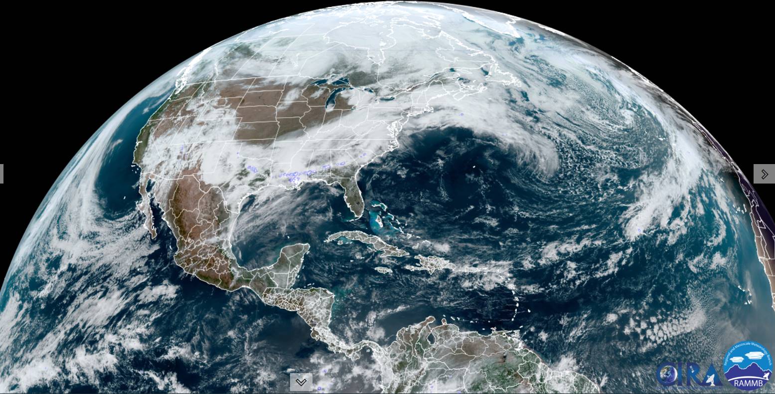
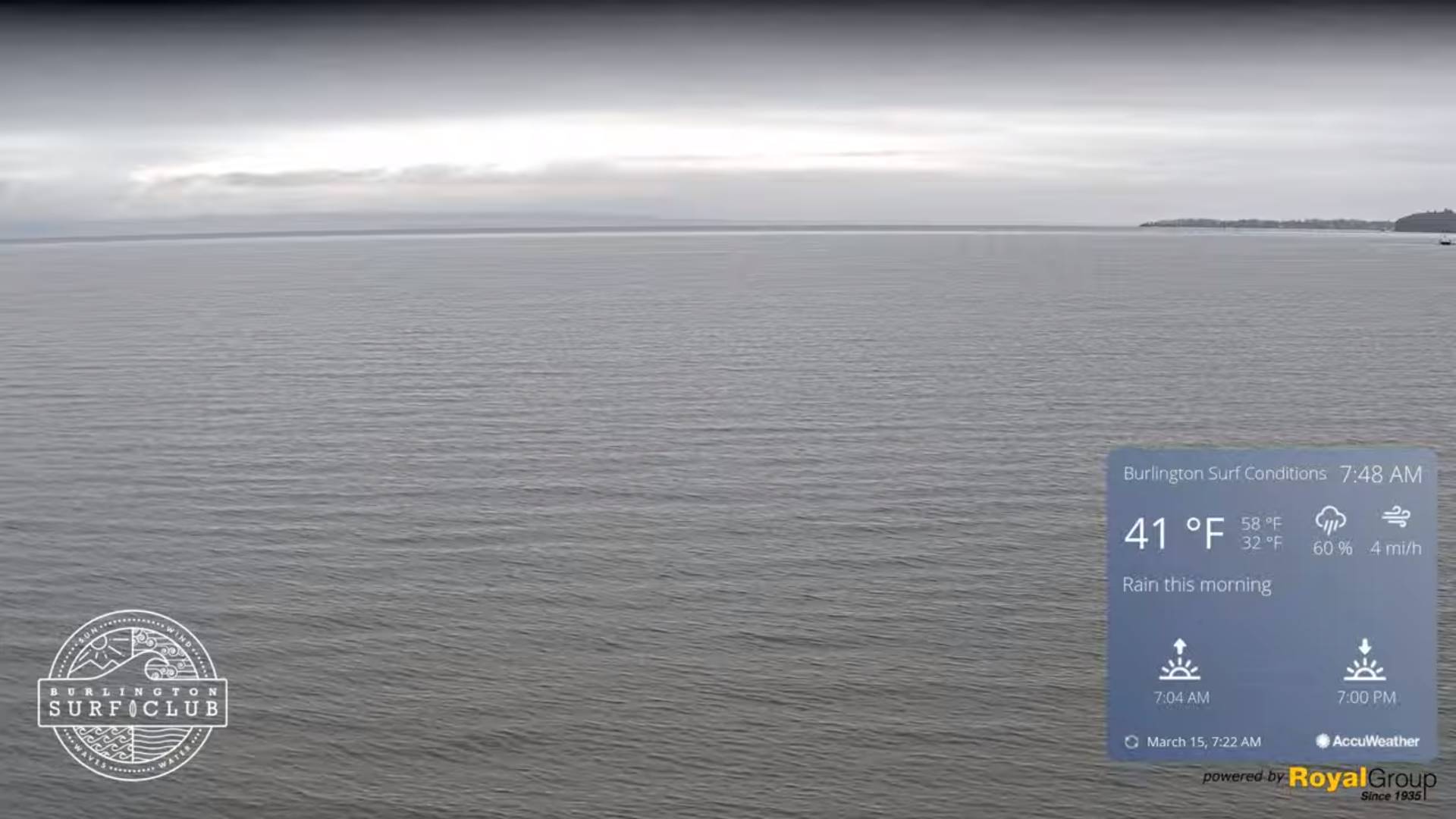
TONIGHT: Considerable cloudiness.Scattered snow showers or flurries. A dusting to an inch. A low in the upper 20s. Light south winds stronger Lake Champlain.
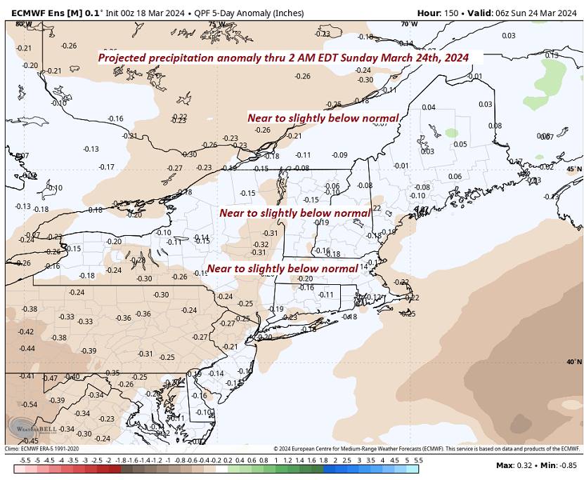
TOMORROW: Clouds with a breaks of sun. Accumulating snow showers mixed with rain on western valley floors. Little accumulation valleys but a couple inches in the mountains. A high about 40. Southwest winds 10 to 15 mph.
WEDNESDAY NIGHT: Variable clouds.Scattered mountain snow showers or flurries. A light coating of snow.A low upper teens to mid-20s. West winds 10 to 15 mph.

THURSDAY: Clouds with breaks of sun. Blustery to windy. A few mountain flurries with a dusting in spots. A high in the upper 20s. Gusty northwest winds 10 to 25 mph high in the mountains and eastern slopes.
Looking further ahead
THURSDAY NIGHT: Mostly clear & partially moonlit. A low ranging upper single digits into the teens.

FRIDAY: Morning sunshine gives way to thickening clouds & below normal in temperature. A high just mid to upper 20s.
SATURDAY: Mainly cloudy. Chance for accumulating early snow exiting to a few flurries. A low around 20. A high mid to upper 30s.

SUNDAY: High cloudiness. A low upper teens to around 20. A high 35 to 40.
End or meteorological winter was March 9th Start of meteorological summer June 6th
Total Solar Eclipse April 8th 3:25 PM EDT
Average lows upper-teens to mid-20s. Average highs low to mid 40s

RH/3-19forecast][end]