Updated Thursday Evening Forecast — April 18th, 2024

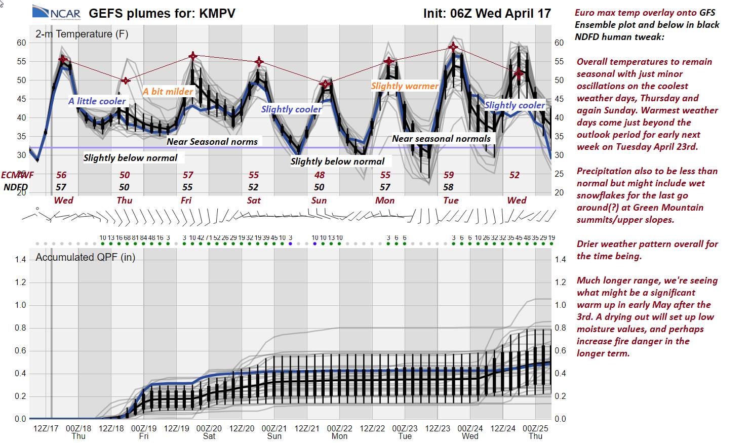
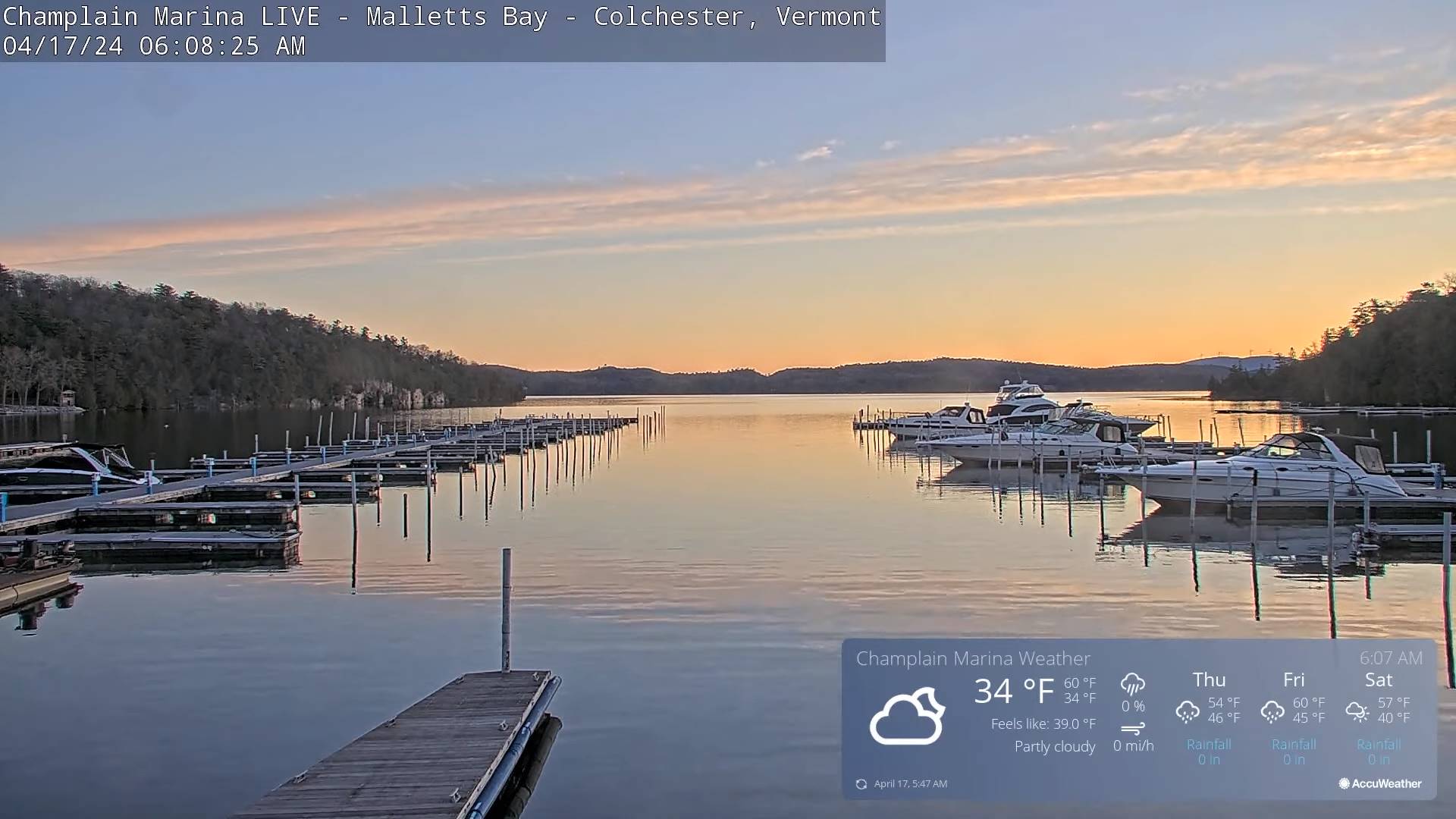
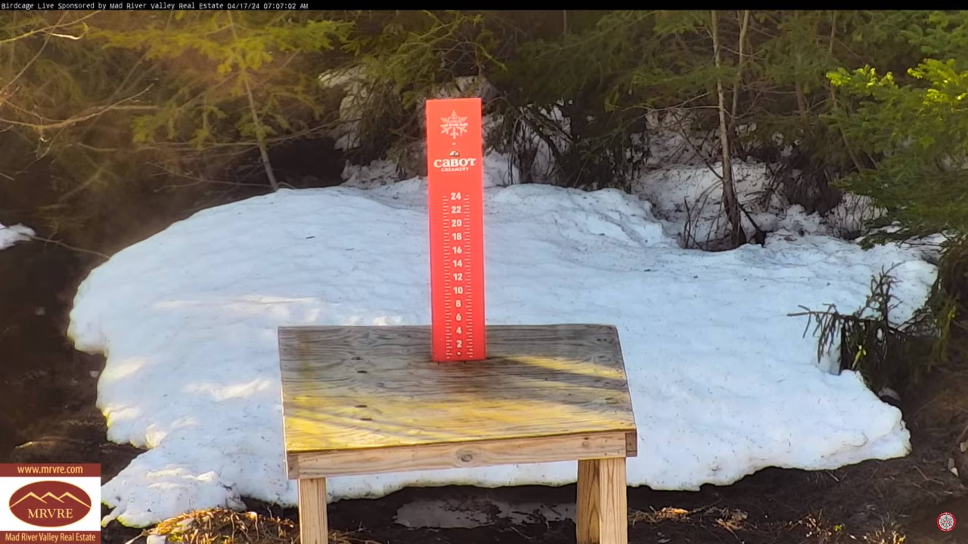
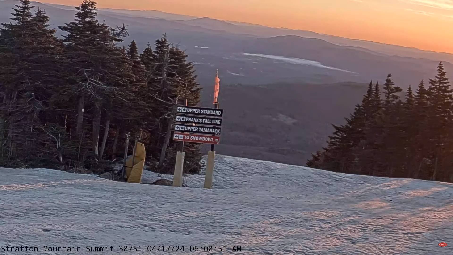
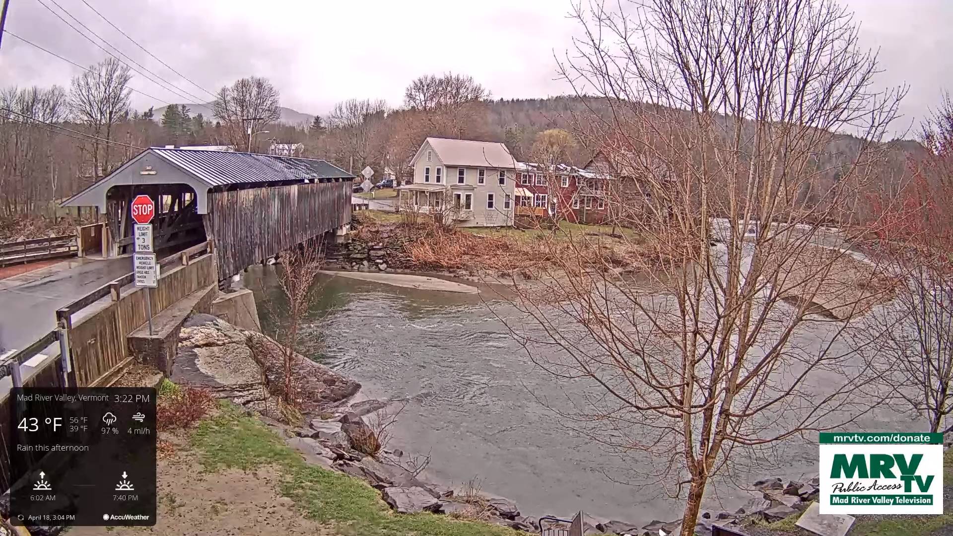
TONIGHT: Lots of clouds. Scattered passing rain showers, with a wet snowflake mountain summits this evening. A low in the upper 30s. Light southeast winds.

TOMORROW: Mainly gray with a threat for a late sprinkle. A high about 55. Southeast breeze 10 to 15 mph but stronger near Lake Champlain.

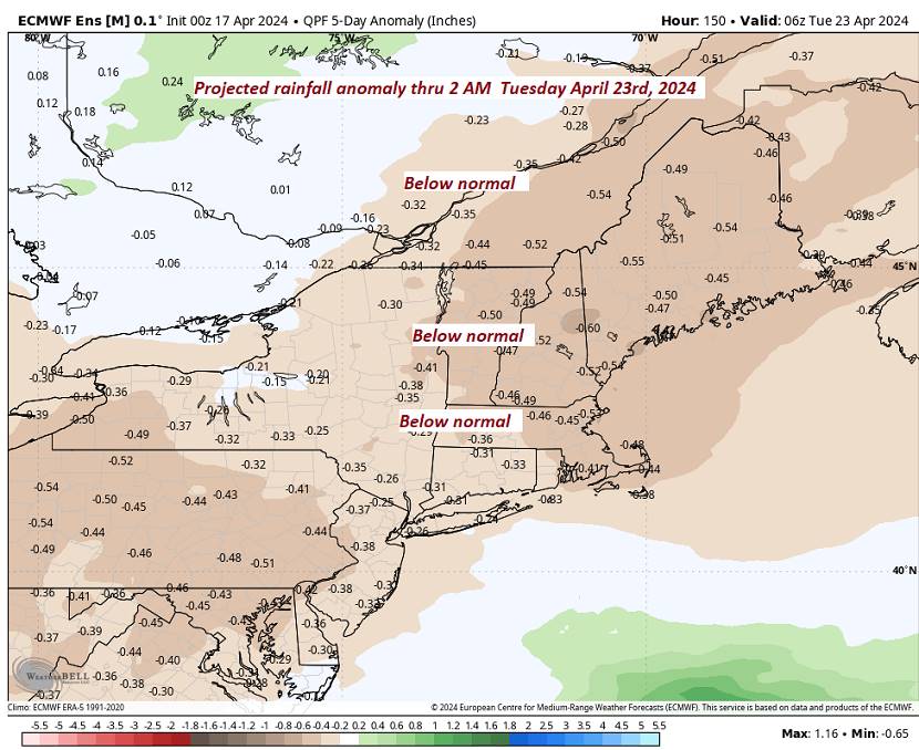
FRIDAY NIGHT: Cloudy. Scattered showers.A low 40 to 45. South to southwest winds 10 mph.

SATURDAY: Mixed sun and clouds. Maybe a shower early, and again late. A high about 50. West winds 10 to 15 mph.

Looking further ahead

SATURDAY NIGHT: Scattered clouds northern areas otherwise clear.A low 32 to 35 with a chance for frost.

SUNDAY: Partly to mostly cloudy. Maybe a sprinkle/mountain wet snow flake far north. A high in the upper 40s near 50.

MONDAY: Bright sunshine and blue skies. A low 32 to 35. A high in the mid-50s.

TUESDAY: Brief morning sunshine then, thickening clouds. A low 30 to 35. A high 55 to 60.

WEDNESDAY: Gray. Chance for rain or rain showers, mixing with or changing to wet snow especially higher terrain Wednesday night. A low around 40. A high in the mid to upper 40s.

Average lows upper 20s to mid-30s. Average highs in the mid to upper 50s.

Start of meteorological summer June 6th

RH/4-18forecast][end]

Updated Thursday Morning Forecast — April 18th, 2024

TODAY: Mainly cloudy, with a few intervals of sun northern & eastern areas. Cooler. Rain showers developing southwest to northeast…mid-day Barre-Montpelier area and late afternoon Northeast Kingdom. A high mid to upper 40s. Southeast breeze 10 mph.

TONIGHT: Lots of clouds. Scattered passing rain showers, with a wet snowflake mountain summits. A low in the upper 30s. Light southeast winds.

FRIDAY: Mainly gray with a threat for a late sprinkle. A high about 55. Southeast breeze 10 to 15 mph.

Looking further ahead

FRIDAY NIGHT: Cloudy. Scattered showers.A low 40 to 45.

SATURDAY: Mixed sun and clouds. Chance for a shower late. A high about 50.

SUNDAY: Considerable cloudiness. Maybe a sprinkle/mountain wet snow flake northern areas late. A low 32 to 35 with a chance for frost. A high in the upper 40s near 50.

MONDAY: Mostly sunny. A low 32 to 35. A high in the mid-50s.

TUESDAY: Gray. Widely scattered sprinkle late. A low 30 to 35. A high 55 to 60.

WEDNESDAY: Cloudy, with partial late afternoon sunshine. A low around 40. A high in the mid to upper 40s.

Average lows upper 20s to mid-30s. Average highs in the mid to upper 50s.

Start of meteorological summer June 6th

RH/4-16forecast][end]

Updated Wednesday Evening Forecast — April 17th, 2024

TONIGHT: High cloudiness, thickening up western and southern Vermont overnight with a few sprinkles. A low in the upper 30s. Light east winds.

TOMORROW: Mostly cloudy, but with some sunny intervals Northeast Kingdom. A little cooler. Light rain showers arriving mid-day Barre-Montpelier area and late afternoon Northeast Kingdom. A high upper 40s around 50. Southeast breeze 10 mph.

THURSDAY NIGHT: Lots of clouds. Chance for early evening sprinkles with a wet snowflake mountain summits. A low upper 30s. Light southeast winds.

FRIDAY: Mainly gray. Chance for a few sprinkles late. A high about 55. Southeast breeze 10 to 15 mph.

Looking further ahead

FRIDAY NIGHT: Cloudy. Scattered showers.A low 40 to 45.

SATURDAY: Mixed clouds and sun, chance for a shower late. A high in the low 50s.

SUNDAY: Considerable cloudiness. Scattered afternoon showers, possibly mixed with a wet snow flake after dark higher terrain. A low 32 to 35 with a chance for frost. A high in the upper 40s.

MONDAY: Mostly sunny. A low around 35. A high in the mid-50s.

TUESDAY: Thickening clouds. A low upper 20s. A high 55 to 60.

Average lows upper 20s to mid-30s. Average highs in the mid to upper 50s.

Start of meteorological summer June 6th

RH/4-16forecast][end]

Updated Wednesday Morning Forecast — April 17th, 2024

TODAY: Morning sunshine gives way to occasional high cloudiness. A high in the mid-50s. Light north winds.

TONIGHT: High cloudiness, thickening up western and southern Vermont late with a sprinkle. A low 35 to 40. Light east winds.

THURSDAY: Mostly cloudy, but with some sunny intervals Northeast Kingdom. A little cooler. A rising chance for light rain showers late morning into the afternoon. A high near 50. Southeast breeze 10 mph.

Looking further ahead

THURSDAY NIGHT: Lots of clouds. Chance for an evening sprinkle. A low upper 30s near 40.

FRIDAY: Mainly gray. Scattered light rain showers or sprinkles. A high about 55.

SATURDAY: A few early mountain sprinkles then clouds mixing with periods of sunshine. A low 40 to 45. A high about 50.

SUNDAY: Mostly cloudy. Scattered afternoon showers, possibly mixed with a wet snow flakes northern Greens. A low 32 to 35 with a chance for frost. A high mid to upper 40s.

MONDAY: Variable cloudiness. A low 30 to 35. A high in the mid-50s.

TUESDAY: Partly sunny. A low 32 to 35. A high 55 to 60.

Average lows upper 20s to mid-30s. Average highs in the mid to upper 50s.

Start of meteorological summer June 6th

Updated Tuesday Evening Forecast — April 16th, 2024

TONIGHT: Partly to mostly cloudy across northern areas this evening, then clearing.A low 30 to 35 with scattered frost. Light north winds.

TOMORROW: Morning sunshine with some high cloudiness in the afternoon. A high in the mid-50s. Light north winds.

WEDNESDAY NIGHT: High cloudiness, thickening up western and southern Vermont late with a sprinkle. A low 35 to 40. Light east winds.

THURSDAY: Increasing clouds with some sun far northeastern areas. An isolated sprinkle or two. A high in the low to mid 50s. Southeast breeze 10 mph.

Looking further ahead

THURSDAY NIGHT: Lots of clouds. Chance for an evening sprinkle. A low around 40.

FRIDAY: Mainly gray. Rising chance for light showers. A high in the mid-50s.

SATURDAY: Clouds with intervals of sunshine. Maybe be a few mountain sprinkles. A low in the low 40s. A high about 50.

SUNDAY: Mostly cloudy. Scattered afternoon showers, possibly mixed with a wet snow flakes northern Greens. A low around 35. A high upper 40s.

Average lows upper 20s to mid-30s. Average highs in the mid to upper 50s.

Start of meteorological summer June 6th

RH/4-16forecast][end]

Updated Tuesday Morning Forecast — April 16th, 2024

TODAY Mostly sunny, with more clouds northern areas this afternoon. A high 50 to 55. Winds become northwest 10 to 15 mph.

TONIGHT: Scattered clouds Champlain Valley with a possible sprinkle early, then clearing.A low mid to upper 30s. Light north winds.

WEDNESDAY: Filtered sunshine with some high cloudiness. A high around 55. Light north winds.

Looking further ahead

WEDNESDAY NIGHT: High overcast. A low mid to upper 30s.

THURSDAY: Sunshine filtered thru high clouds clouding up late. A high mid to upper 50s. Chance for an evening sprinkle.

FRIDAY: Mainly gray. Maybe a sprinkle. A low upper 30s to around 40. A high in the mid-50s.

SATURDAY: Clouds with intervals of sunshine. Slight chance for a few showers. A low 40 to 45. A high in the low 50s.

SUNDAY: More clouds than sun. Scattered afternoon showers, possibly mixed with a wet snow flakes northern Greens. A low in the mid-30s. A high mid to upper 40s.

Average lows upper 20s to mid-30s. Average highs in the mid to upper 50s.

Start of meteorological summer June 6th

RH/4-16forecast][end]