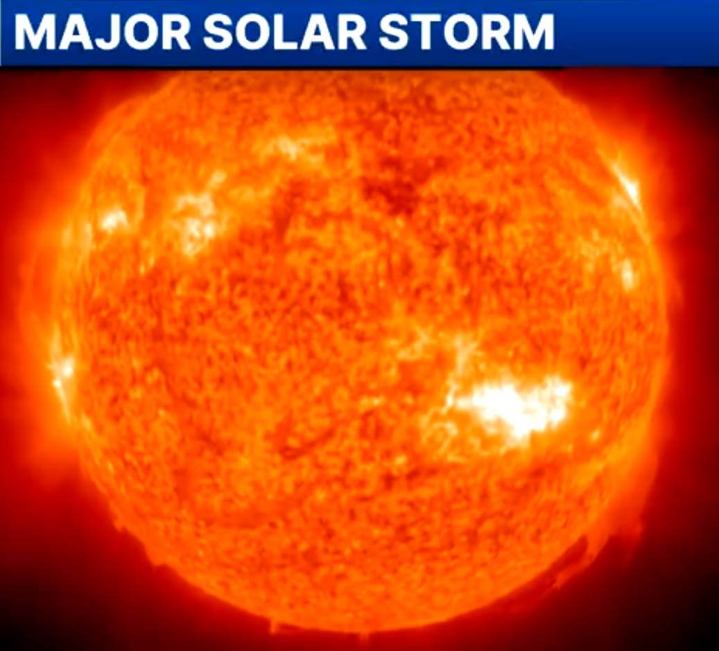
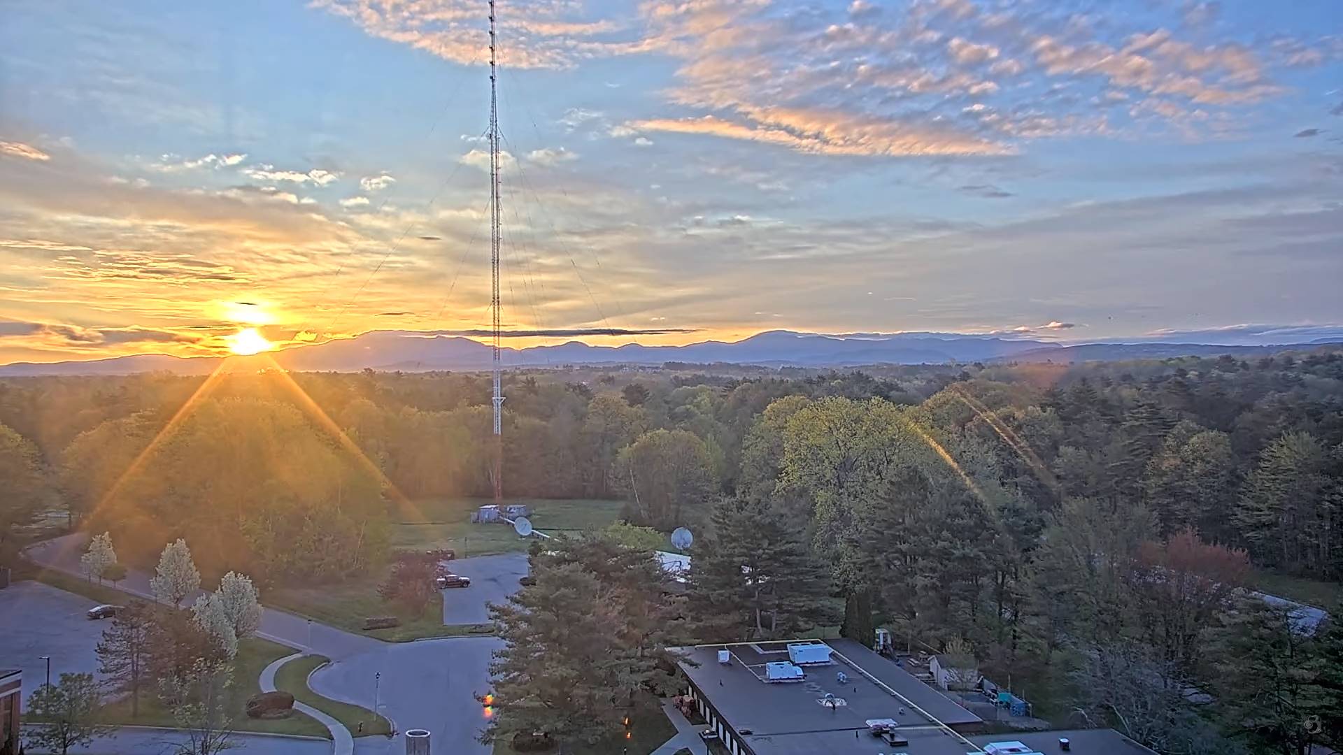
Possible northern lights viewing late this evening on…
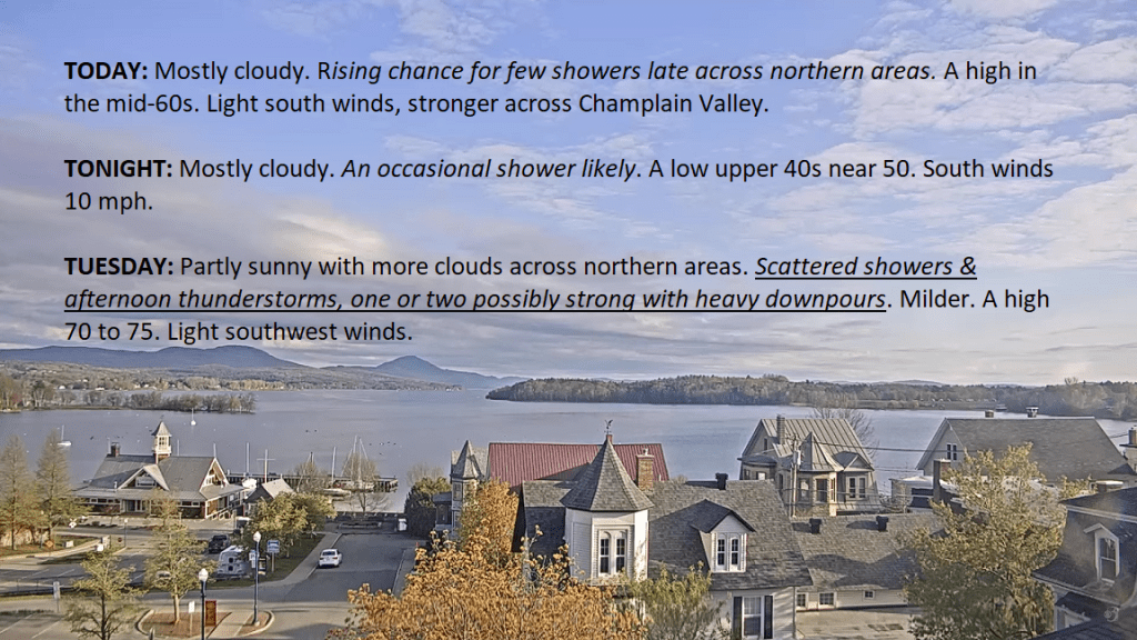
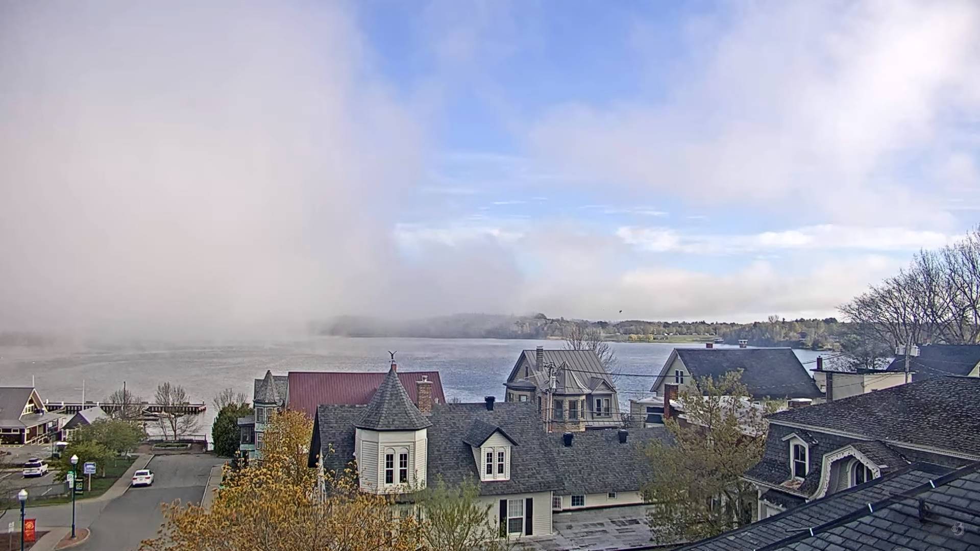
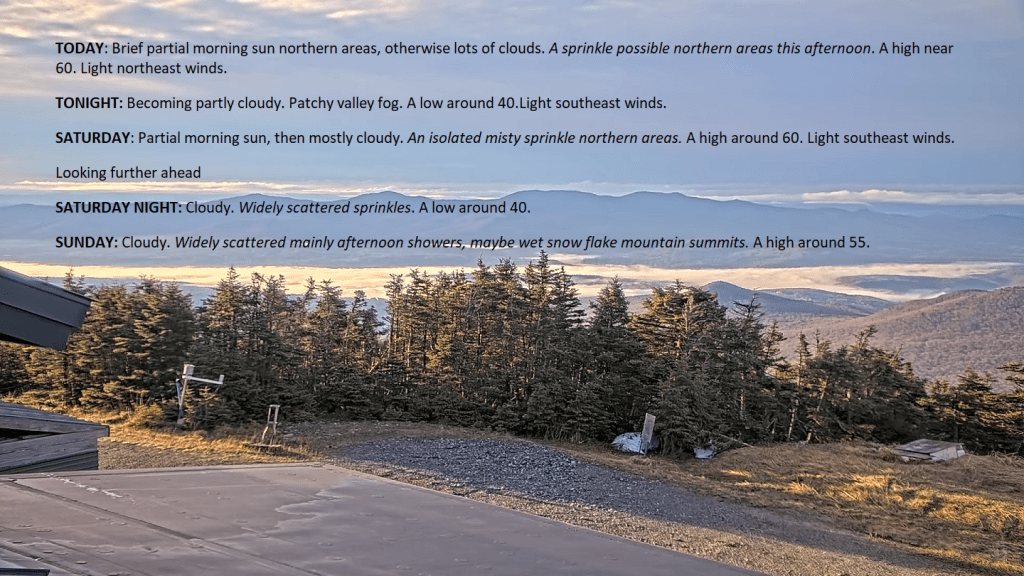
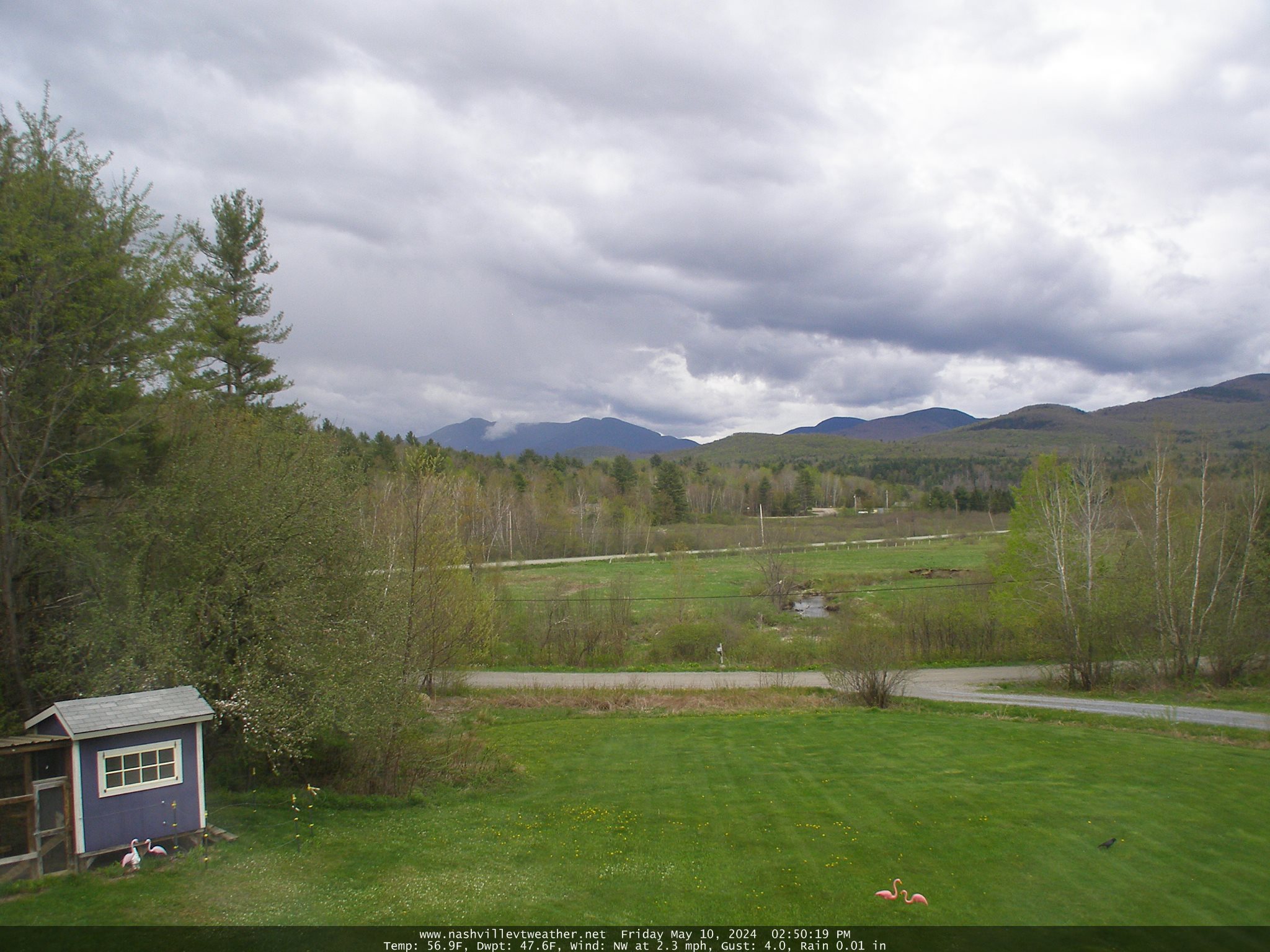
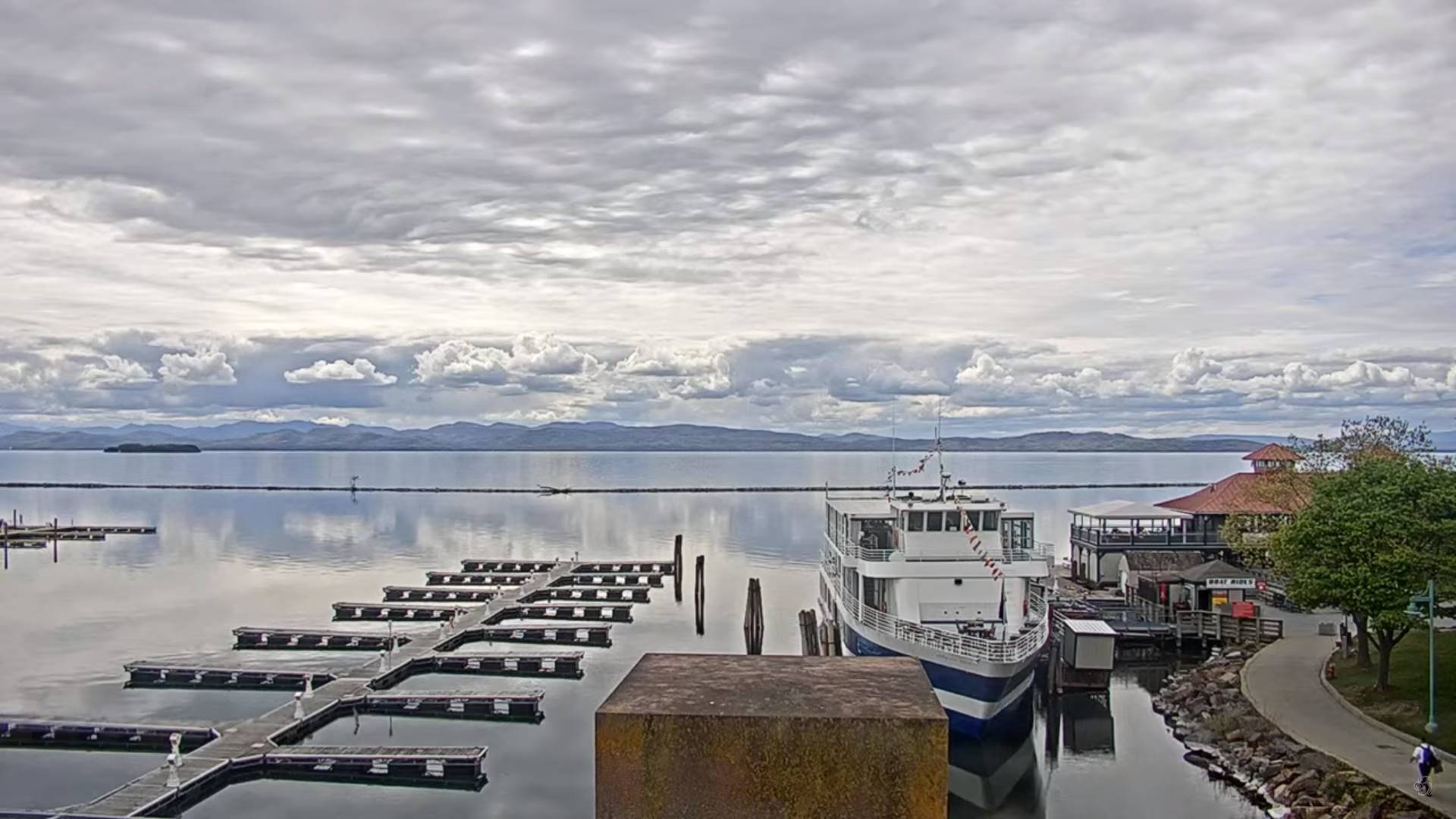
TONIGHT: Becoming partly cloudy.Patchy valley fog.A low upper 30s, around 40. Light southeast winds.
TOMORROW: Partial morning sun, then mostly cloudy. An isolated misty sprinkle northern areas. A high around 60. Light southeast winds.
SATURDAY NIGHT: Cloudy. Widely scattered sprinkles after midnight. A low around 40. Southeast winds 10 mph.
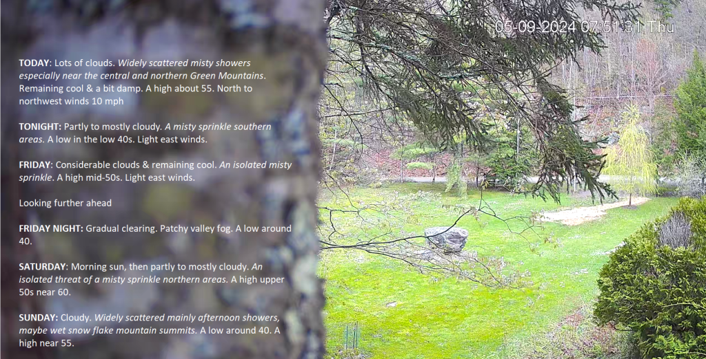
SUNDAY: Cloudy. Widely scattered mainly afternoon showers, maybe wet snow flake mountain summits. A high around 55. Light southeast winds.
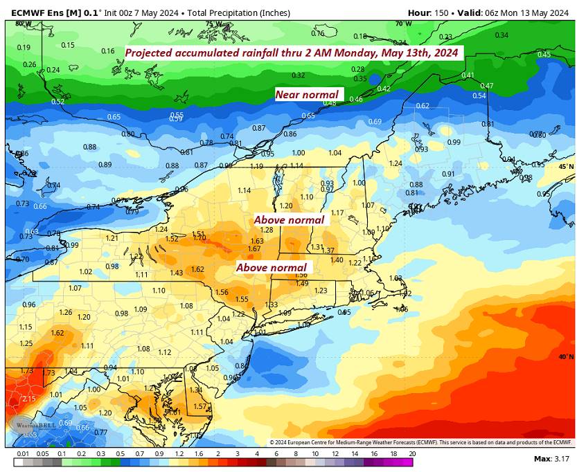
Looking further ahead
SUNDAY NIGHT: Mostly Cloudy. An evening sprinkle, then clearing overnight. A low around 40

MONDAY: Partial sunshine then clouding up. A rising chance for showers late. A high in the low 60s.
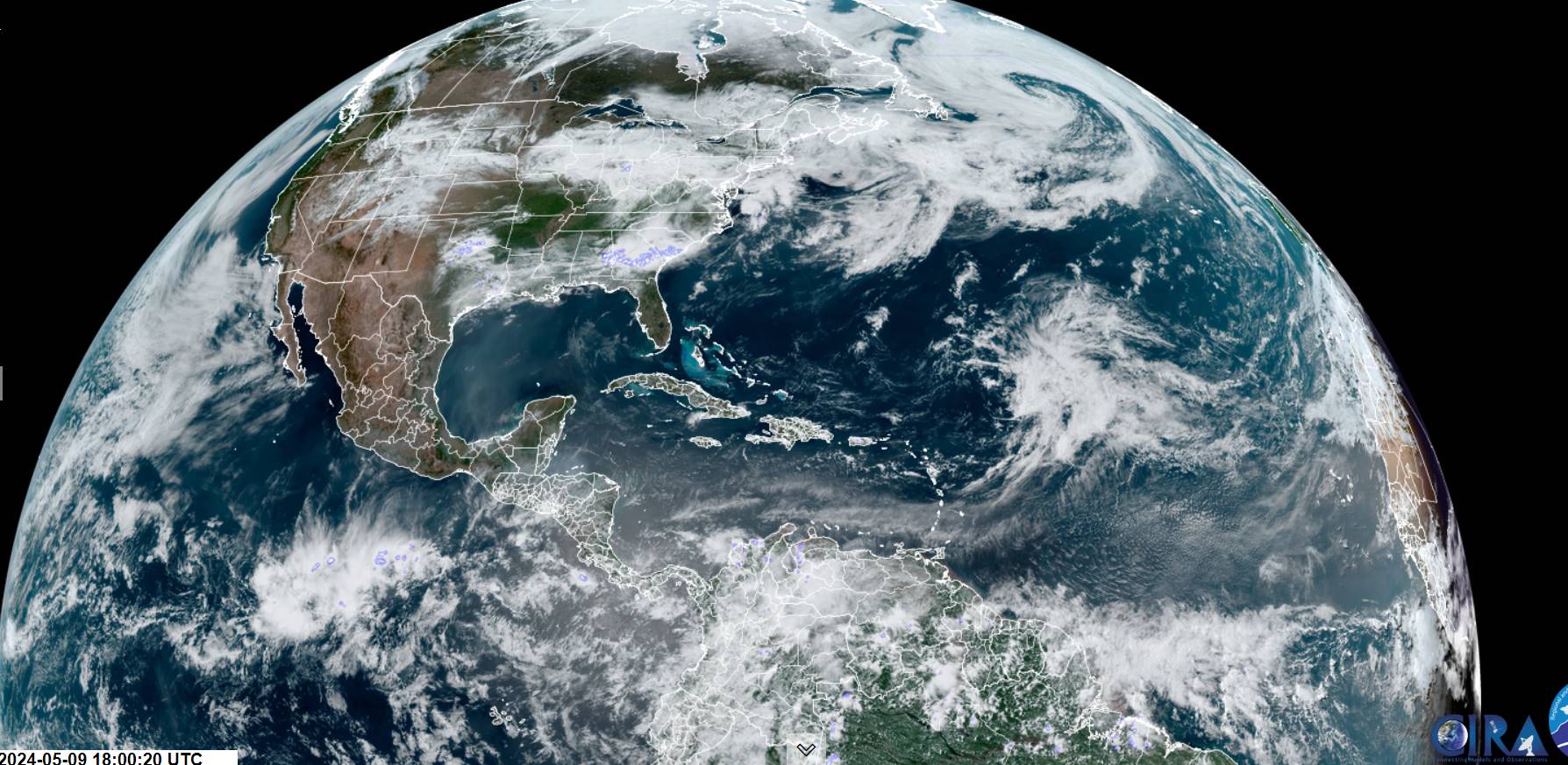
TUESDAY: Gray with the chance for periods of rain or showers. A low near 50. Milder. A high mid to upper 50s.
WEDNESDAY: Gray with the chance for showers drying up to intervals of afternoon sun. A low upper 30s around 40. A high 60 to 65.
Average lows mid-30s to lower 40s. Average highs low to mid-60s.
Start of meteorological summer June 6th
RH/5-8forecast][end]