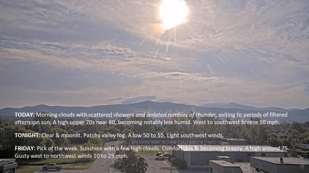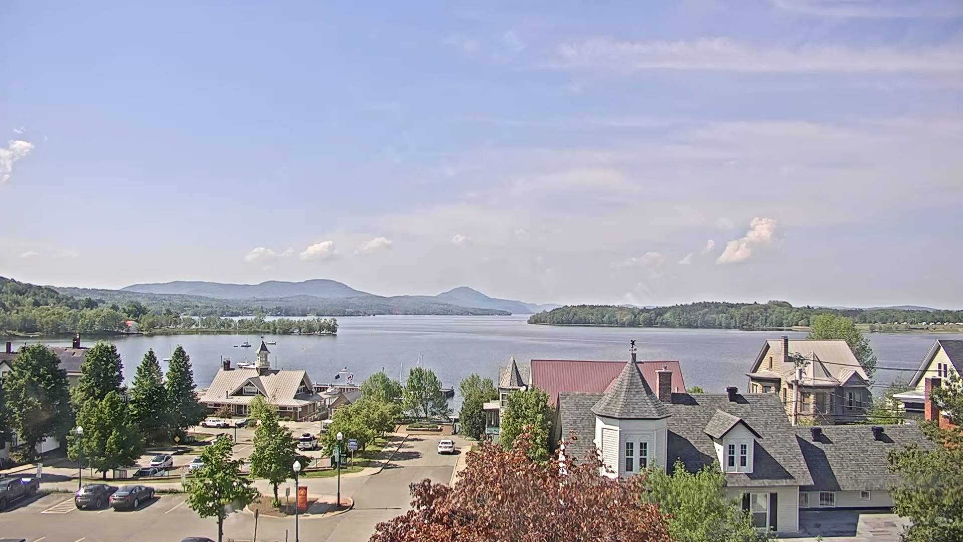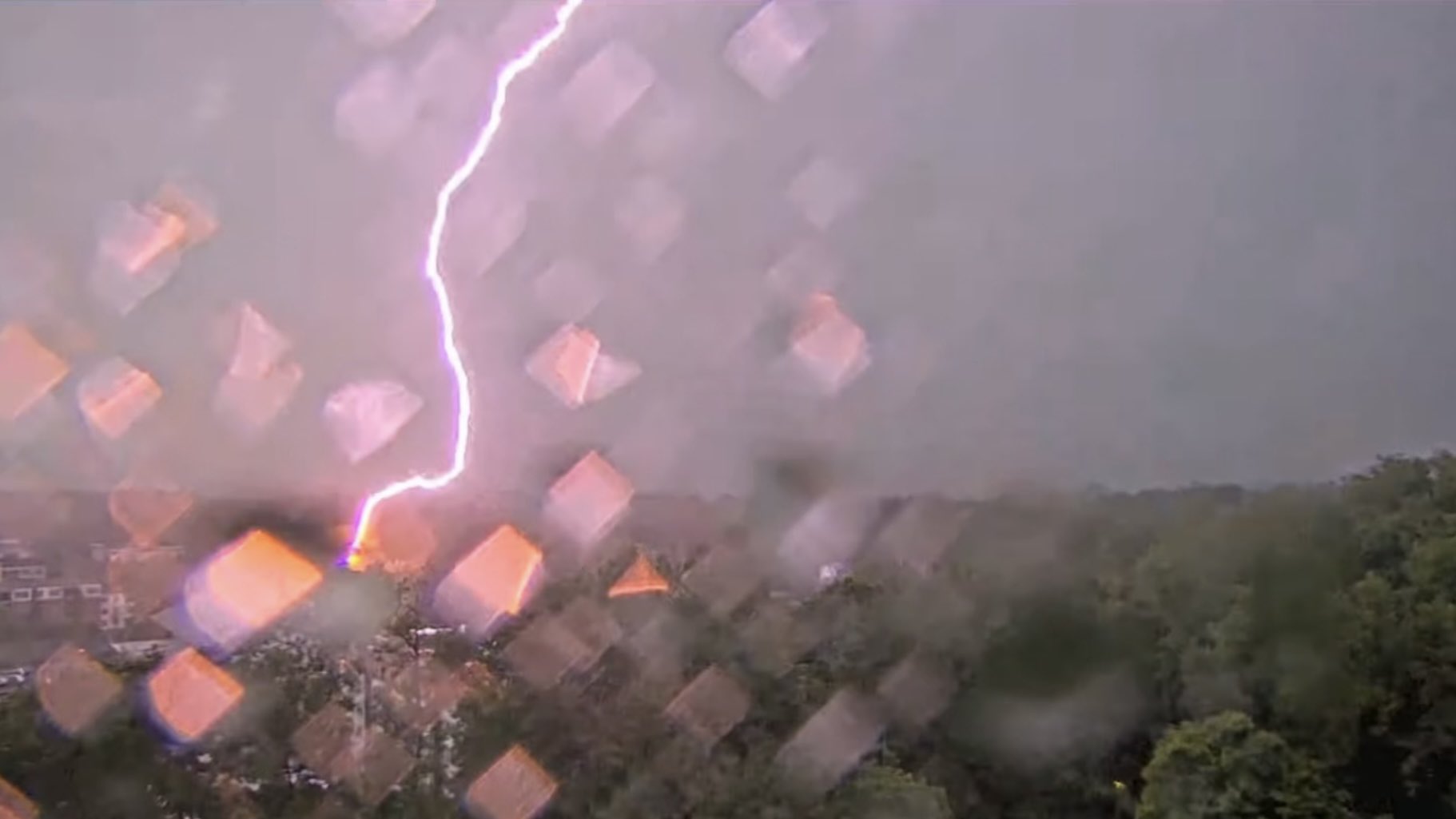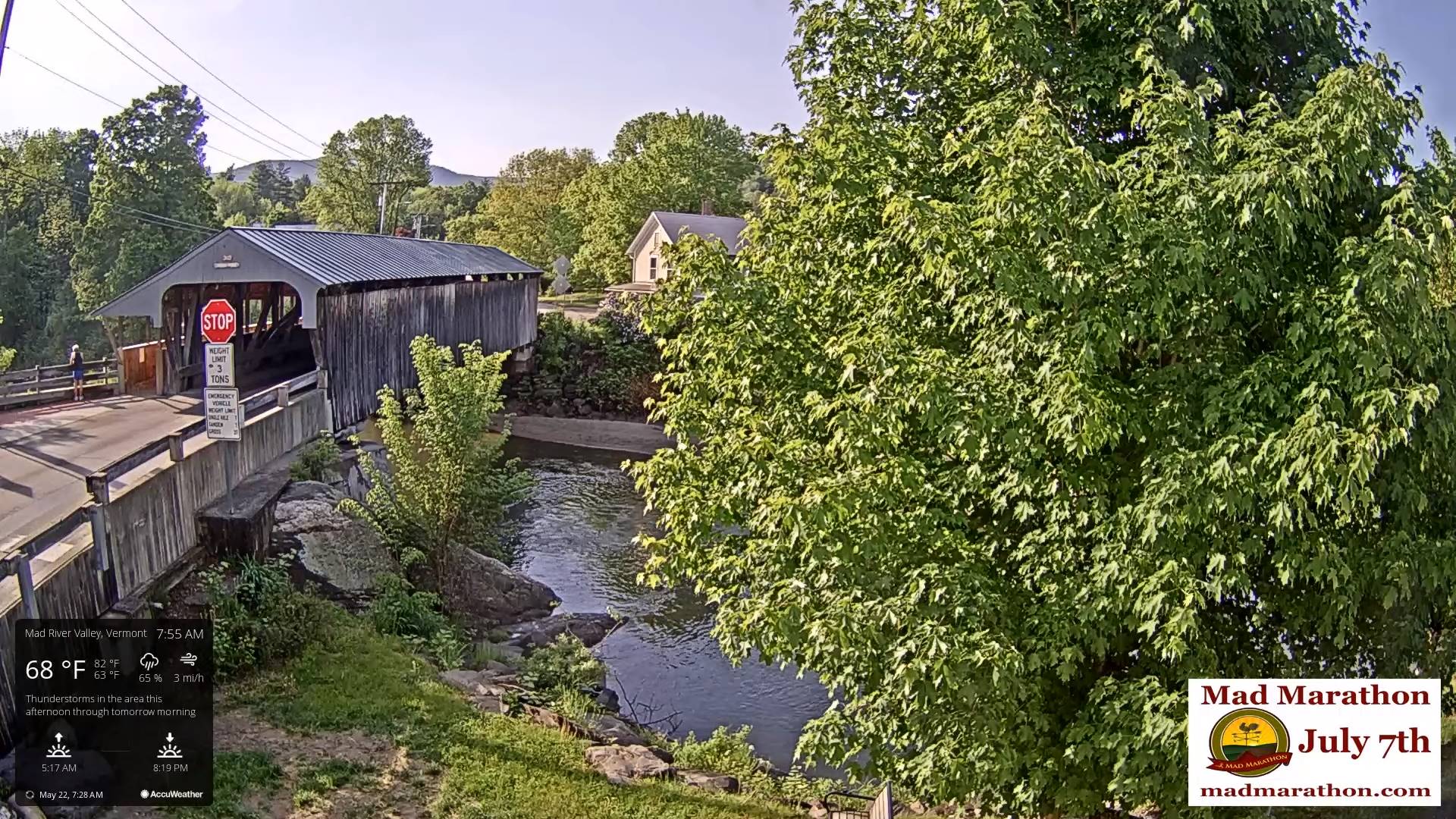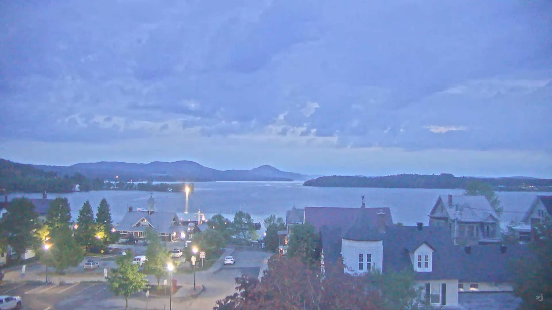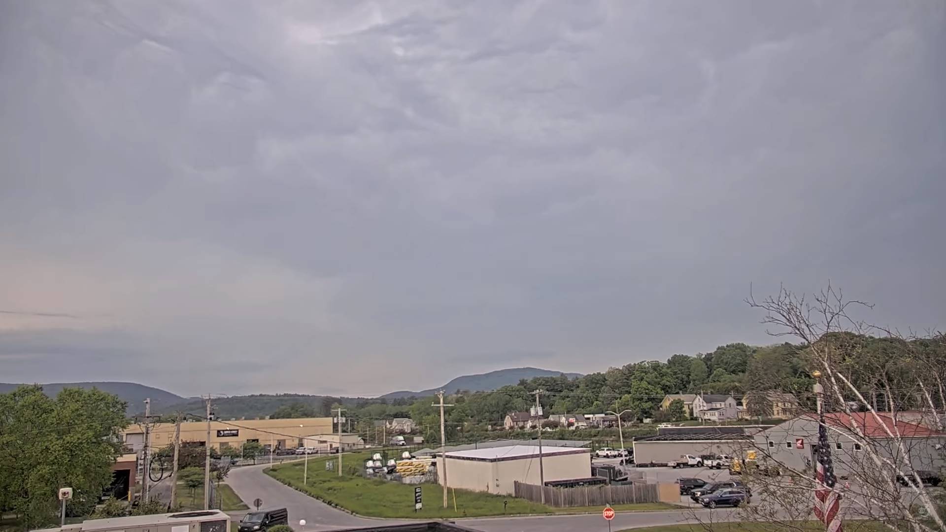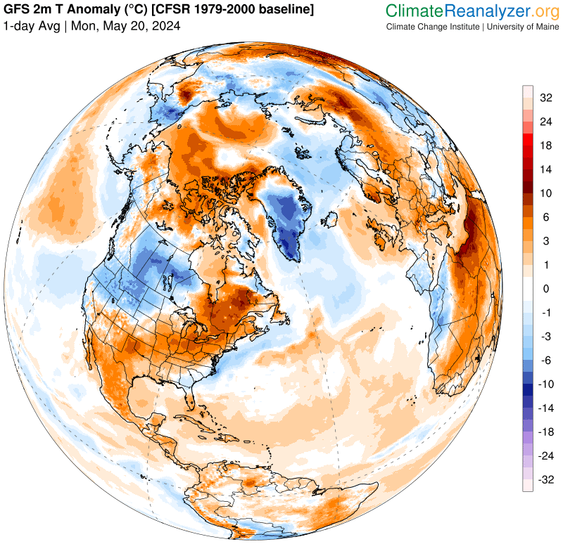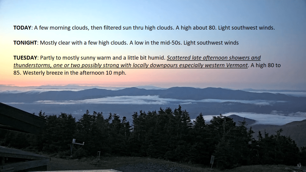
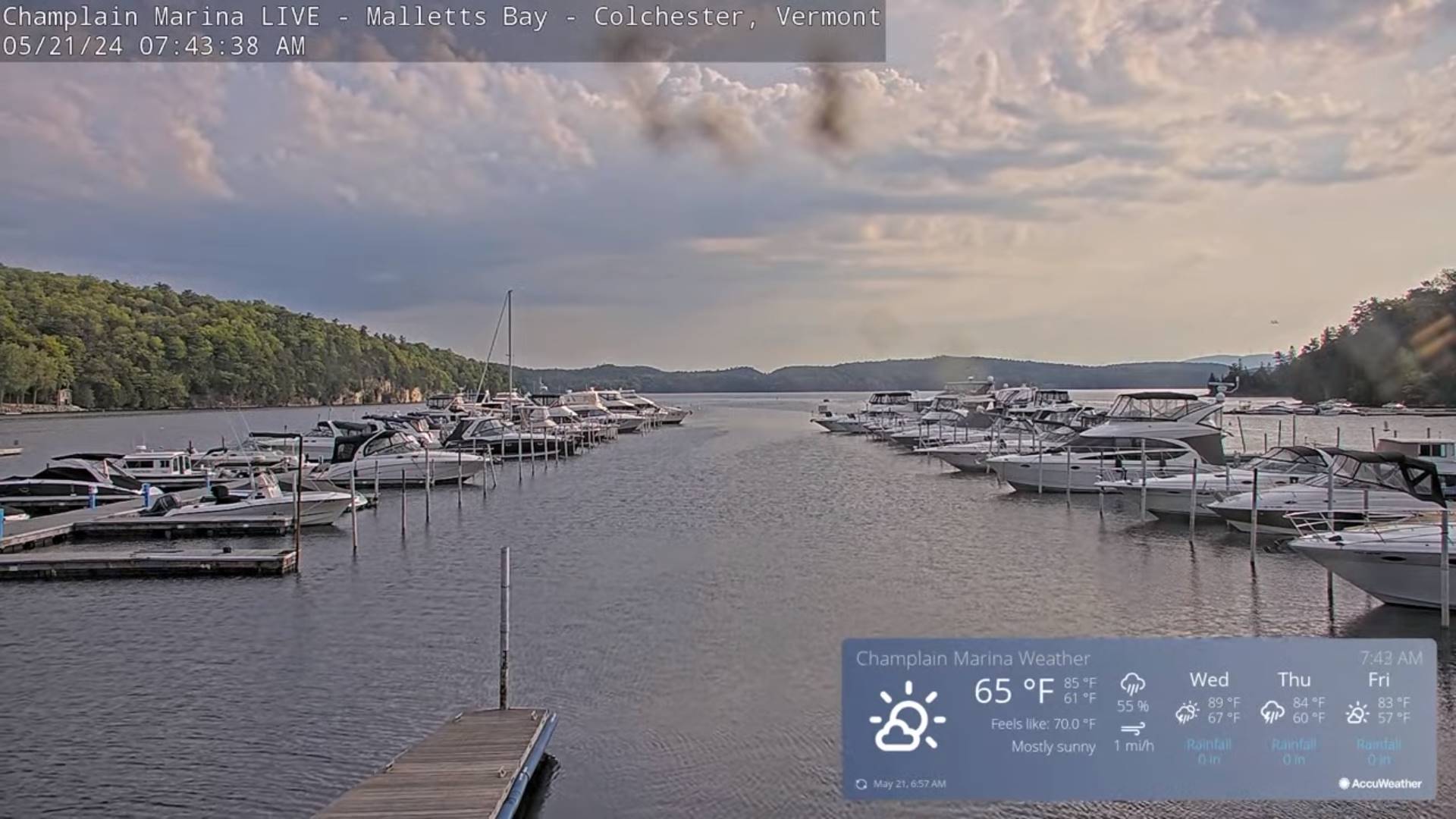
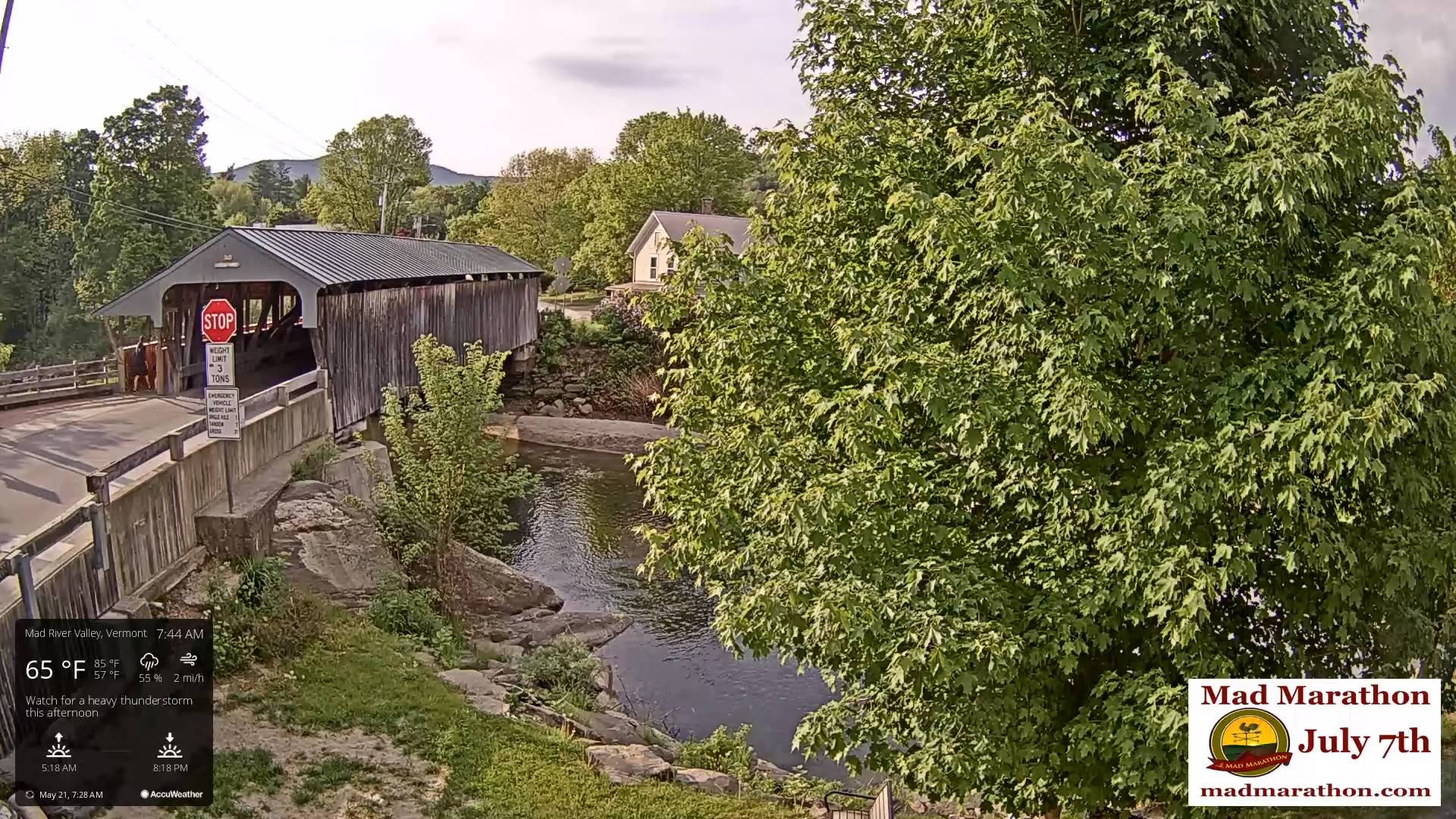
TODAY: Filtered sunshine with late afternoon clouds. Warm and humid. Scattered afternoon showers and thunderstorms, one or two possibly strong with locally downpours especially western Vermont. A high in the low 80s. West to southwesterly breeze 10 mph.
TONIGHT: Widely scattered evening shower & thunderstorm activity winding down, otherwise partially moonlit clearing overnight. Isolated valley fog. Milder and a bit muggy. A low in the low 60s. Light southwest winds.
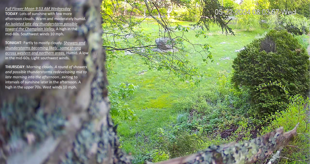
Full Flower Moon 9:53 AM Wednesday
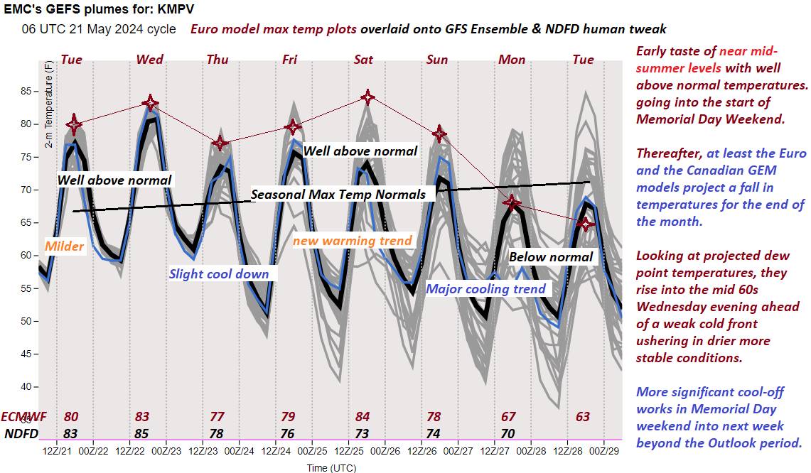
WEDNESDAY: Lots of sunshine with few more afternoon clouds. Warm and moderately humid. Good chance for late afternoon showers & thunderstorms…some possibly strong and locally heavy. A high in the mid-80s. Light southwest winds.
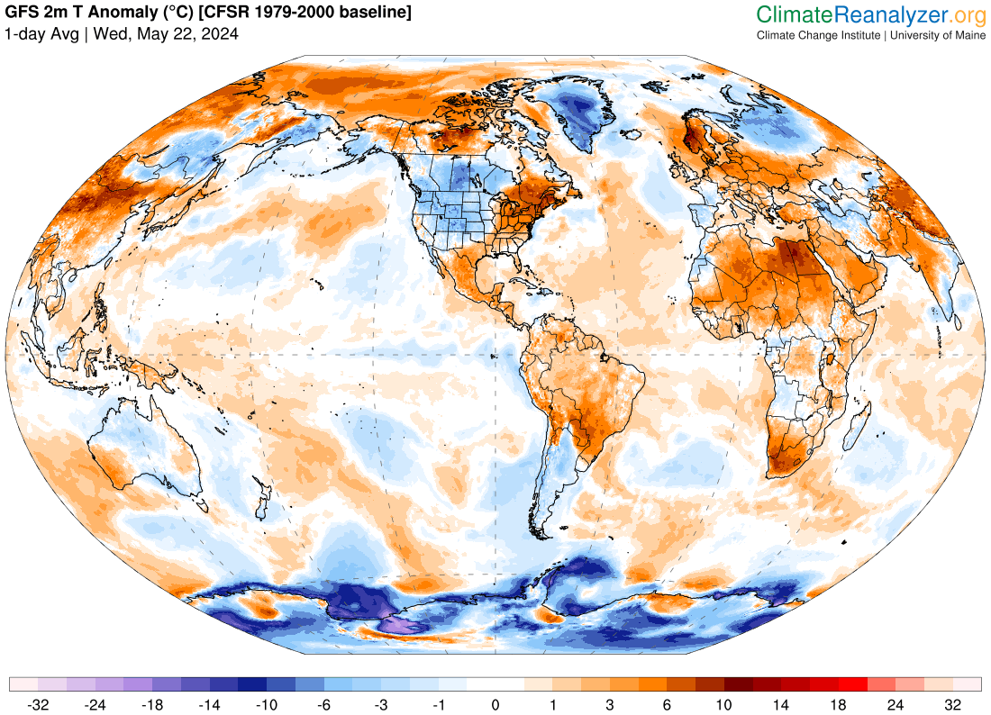
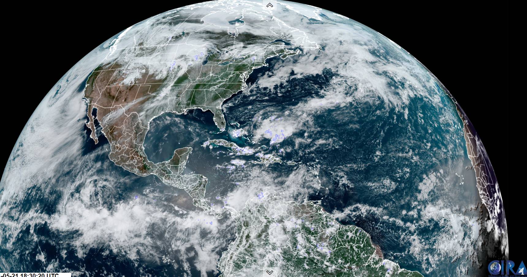
Looking further ahead
WEDNESDAY NIGHT: Partly to mostly cloudy. Widely scattered showers and thunderstorms…some strong to locally severe in the evening.A low 60 to 65.
THURSDAY: A good chance for showers and possible heavy thunderstorms…clearing later in the afternoon. A high 75 to 80.
FRIDAY: Pick of the week. Sunshine after patchy morning fog. Comfortable and less humid. A low 50 to 55. A high 75 to 80.
SATURDAY: Lots of sunshine & comfortable giving way to more clouds late. A low upper 40s to lower 50s. A high 70 to 75.
SUNDAY: Mostly sunny.A low 55 to 60. A high in the 70s.
MONDAY MEMORIAL DAY: Lots of clouds. Chance for showers. Cooler. A low in the 50s. A high upper 60s to around 70.

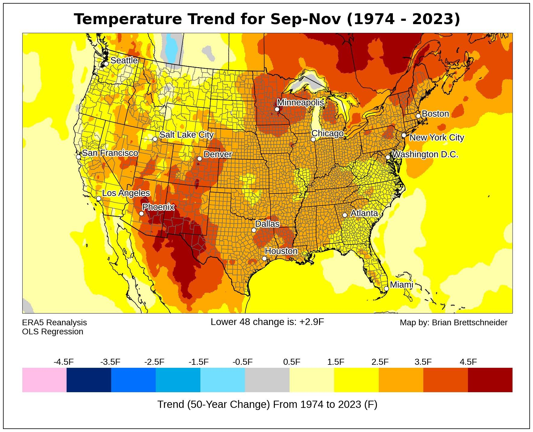
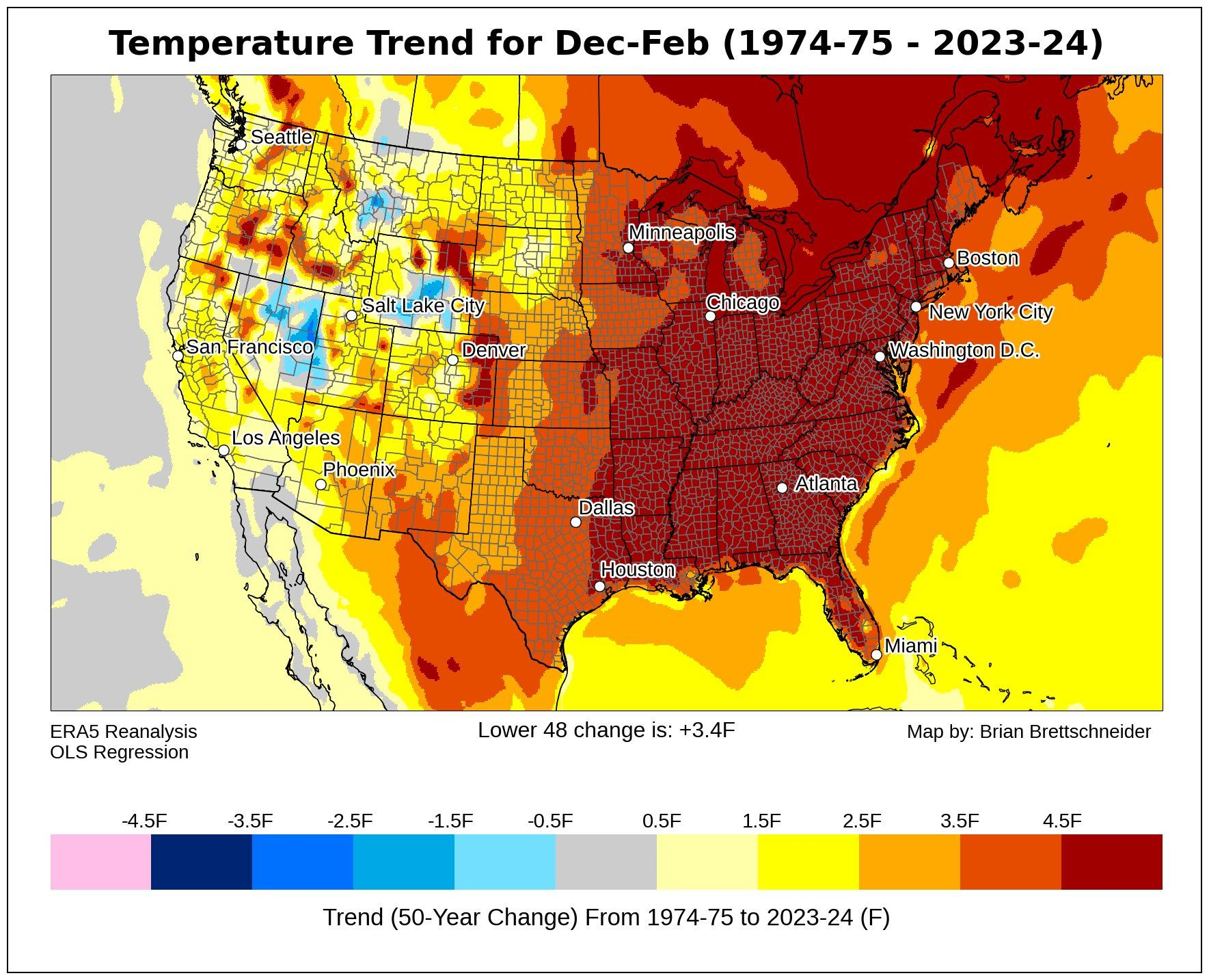
Average lows range thru the 40s. Average highs mid-60 to low 70s.
Start of meteorological summer June 6th
RH/5-21forecast][end]