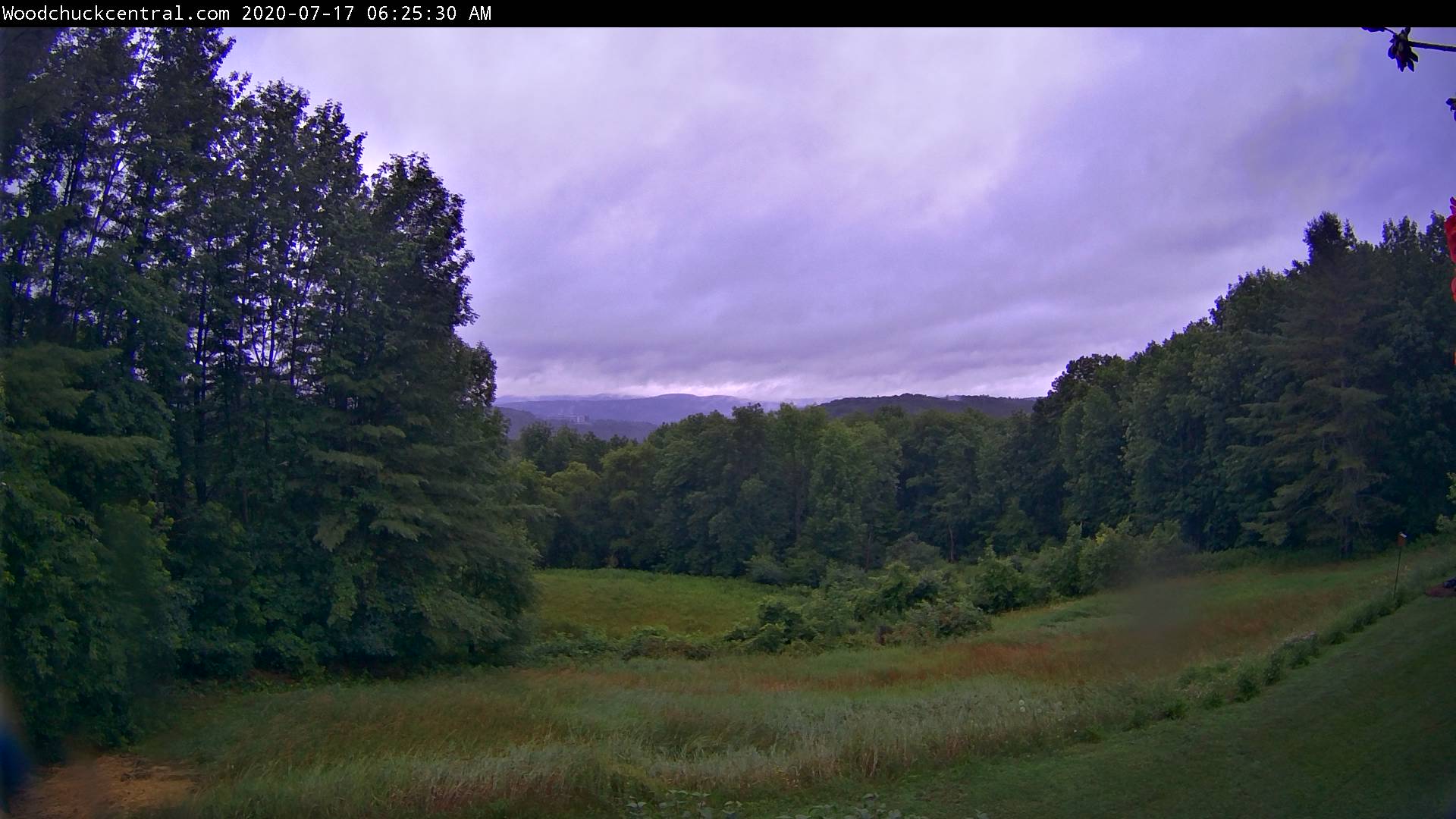
Updated Friday morning forecast — July 17th, 2020

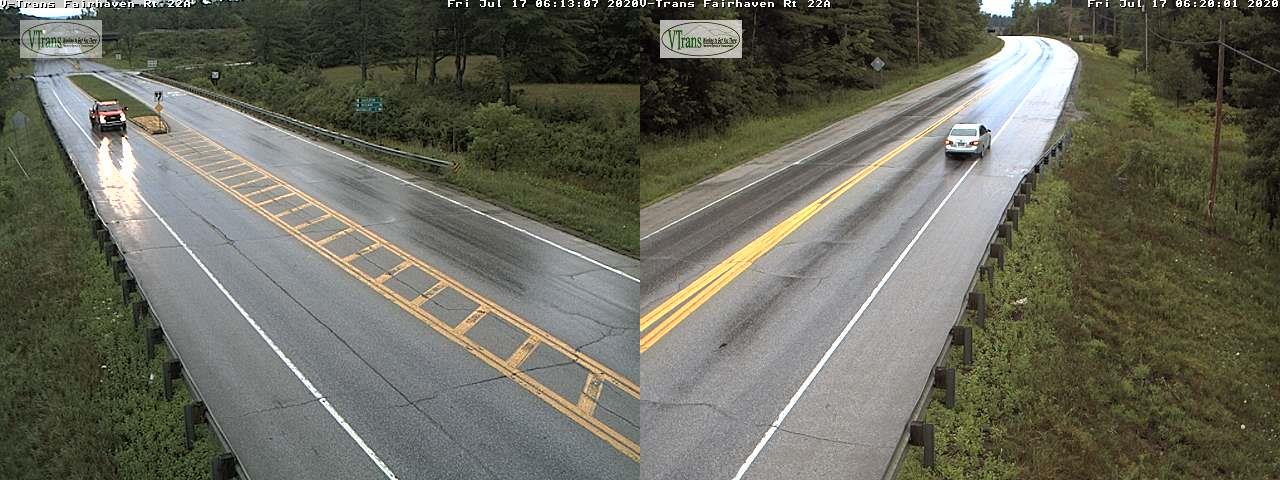
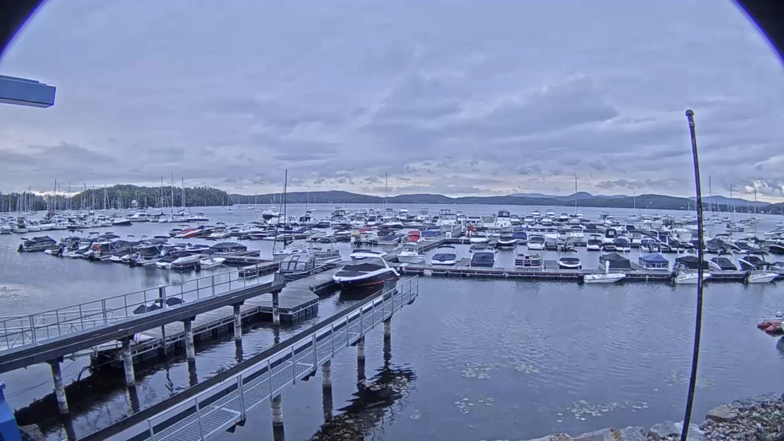
TODAY: Showers and embedded thunderstorms especially northern areas…some locally heavy for a time this morning. Partial late day sunshine developing. Gradually more muggy. A high mid-70s. Southeast breeze 10 to 20 mph.
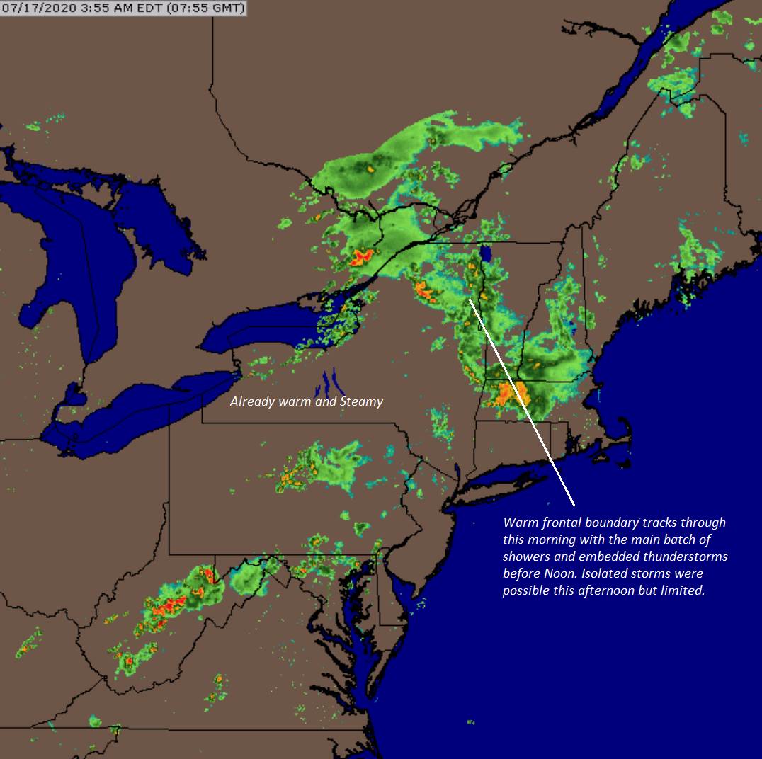
TONIGHT: Partly cloudy. Considerable valley fog with a low near 60. Light southwest winds.

SATURDAY: Morning fog, then lots of sunshine, much warmer and muggier. A high near 85. West to southwest winds 10 mph.
Looking further ahead…

SATURDAY NIGHT: Variable high cloudiness. Isolated valley fog. A low 60 to 65.

SUNDAY: Partly to mostly sunny. Hot and sticky. A high around 90. Heat indices reaching the mid to upper 90s- hotter Champlain Valley.
MONDAY: Chance for early to mid-morning showers and thunderstorms, then becoming partly sunny. Warm and oppressive. A low in the low 70s. A high mid-80s.

TUESDAY: Morning fog burns off to mixed clouds and sun not as humid. A low near 60. A high around 80.

WEDNESDAY: Patchy fog then brief morning sun. A rising chance for showers and thunderstorms. A low in the low 60s. A high in the low 80s.

Peak of summer July 22nd. Average lows upper-50s to low 60s, average highs upper-70s to low 80s.
RH/7-16[end]
Updated Thursday Evening Forecast — July 16th, 2020

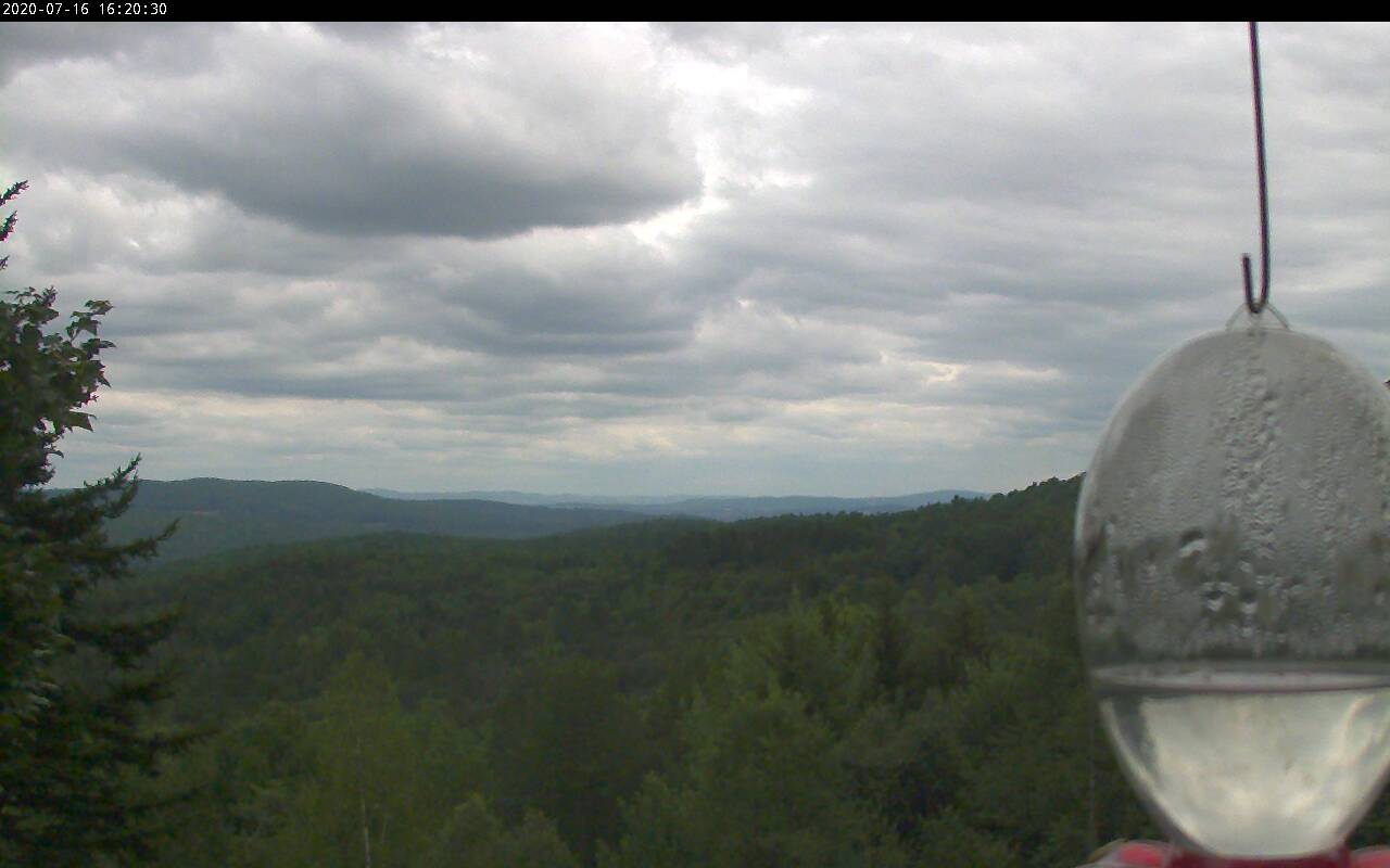
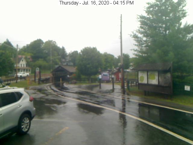
TONIGHT: Cloudy. Rising chance for showers toward midnight western Vermont…spreading east overnight. A few embedded thunderstorms possible…heavy at times around daybreak. A low mid to upper 50s. Southeasterly breeze 10 mph.

TOMORROW: Showers and embedded thunderstorms…some locally heavy exiting. Partial late day sunshine. Gradually more muggy. A high mid-70s. Southeast breeze 10 to 20 mph.

FRIDAY NIGHT: Evening cloudiness then clearing. Patchy valley fog. A low near 60. Light southwest winds.

SATURDAY: Morning fog, then lots of sunshine, warmer and very muggy. A high near 85. West to southwest winds 10 mph.

Looking further ahead…

SATURDAY NIGHT: Variable high cloudiness. Isolated valley fog. A low in the low to mid 60s.

SUNDAY: Partly to mostly sunny. Hot and sticky. A high in the low 90s. Heat indices reaching the mid to upper 90s- hotter Champlain Valley.

MONDAY: Chance for early morning showers and thunderstorms, then partly sunny. Warm and oppressive. A low 70 to 75. A high mid-80s.

TUESDAY: Morning fog burns off to mix clouds and sun not as humid. A low in the low 60s. A high in the low 80s.

Peak of summer July 22nd. Average lows upper-50s to low 60s, average highs upper-70s to low 80s.

RH/7-16[end]
Updated Wednesday Evening forecast — July 15th, 2020

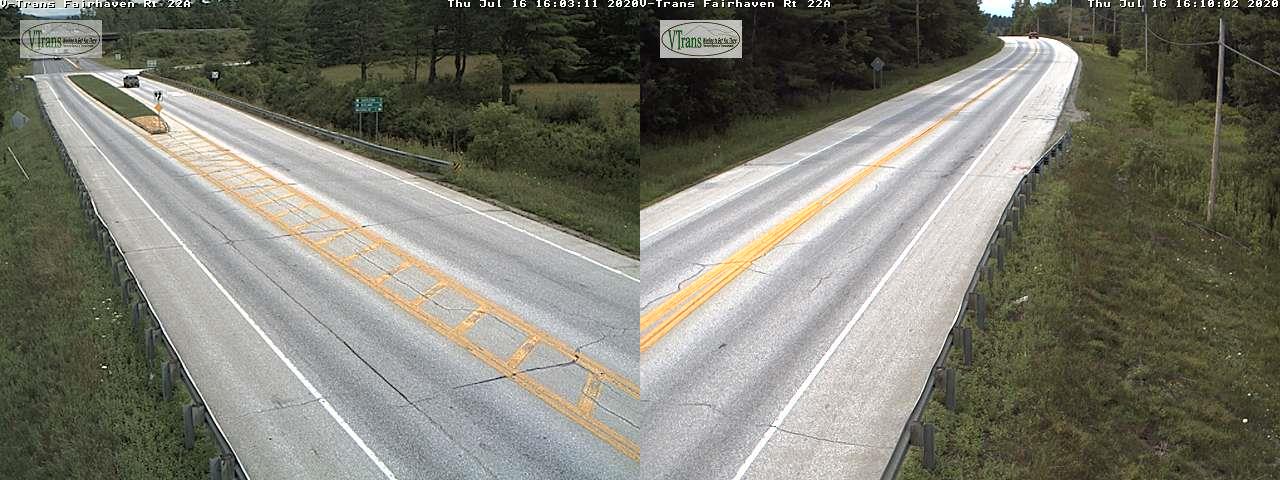
TONIGHT: Partly cloudy. Patchy valley fog. A low in the low 60s. Light southeast winds.

TOMORROW: Pick of the week. Morning fog then partial sun giving way to more clouds in the afternoon but remaining dry. A high around 75. South breeze 10 to 15 mph.

THURSDAY NIGHT: Mostly cloudy. Good chance for showers and a few thunderstorms. A low near 60. Southeasterly breeze 10 mph.

FRIDAY: Showers and a few thunderstorms…some locally heavy exiting. Partial late day sunshine. Turning muggy. A high around 75. Southeast breeze 10 to 20 mph.

Looking further ahead…

FRIDAY NIGHT: Evening cloudiness then clearing. Patchy valley fog. A low near 65.

SATURDAY: Morning fog, then lots of sunshine, warmer and very muggy. A high around 85.

SUNDAY: Partly to mostly sunny. Maybe an isolated late day thunderstorm Champlain valley. Hot and sticky. A low mid-60s to near 70. A high around 90. Heat indices low to mid 90s.

MONDAY: Mostly cloudy. Widely scattered late afternoon thunderstorms. Warm and oppressive. A low 70 to 75. A high mid to upper 80s.

Peak of summer July 22nd. Average lows upper-50s to low 60s, average highs upper-70s to low 80s.

RH/7-15[end]
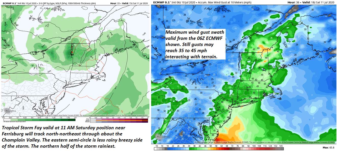
Updated Wednesday Morning Forecast — July 15th, 2020

TODAY: Morning fog and low clouds give way to intervals of sun. An isolated mountain sprinkle or two this afternoon. A high around 75. Light north winds.

TONIGHT: Partly cloudy. Patchy valley fog. A low in the low 60s. Light southeast winds.

THURSDAY: Pick of the week. Morning fog gives way to partial afternoon sunshine. A high around 75. South breeze 10 to 15 mph.

Looking further ahead…

THURSDAY NIGHT: Increasing clouds. Good chance for showers and a few thunderstorms. A low near 60.

FRIDAY: Mostly cloudy. Good chance for showers and occasional thunderstorms…some locally heavy. Turning muggy. A high around 75.

SATURDAY: Morning fog then partly to mostly sunny. Warmer and more humid. A low near 65. A high around 85.

SUNDAY: Isolated morning fog then partly to mostly sunny with more clouds in the afternoon. Hot and sticky. A low 65 to 70. A high around 90. Heat indices low to mid 90s.

MONDAY: Mostly cloudy. Chance for showers and thunderstorms. Warm and oppressive. A low 70 to 75. A high mid to upper 80s.

Peak of summer July 22nd. Average lows upper-50s to low 60s, average highs upper-70s to low 80s.

RH/7-14[end]
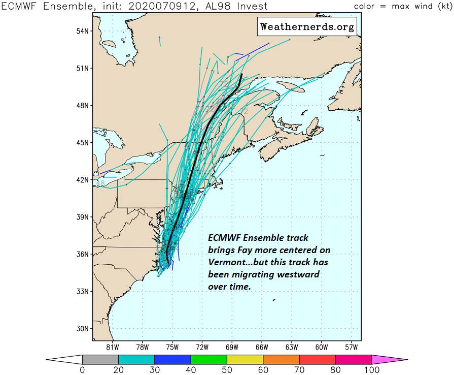
Updated Tuesday Evening Forecast — July 14th, 2020

TONIGHT: Scattered showers and isolated thunderstorms diminishing early. Otherwise leftover cloudiness. Considerable valley fog. A low upper 50s to near 60. Light north winds.

TOMORROW: Morning fog, then intervals of sun. Slight chance for mountain sprinkles. A high near 75. Light north winds.

WEDNESDAY NIGHT: Partly cloudy. Patchy valley fog. A low in the low 60s. Light southeast winds.

THURSDAY: Pick of the week. Morning fog then partial sunshine. A high around 75. South breeze 10 to 15 mph.

Looking further ahead…

THURSDAY NIGHT: Good chance for showers and a few thunderstorms. A low near 60.

FRIDAY: Mostly cloudy. Chance for showers and thunderstorms…some locally heavy. Muggy. A high around 75.

SATURDAY: Partly to mostly sunny. Warmer and more humid. A low near 65. A high around 85.

SUNDAY: Partly sunny, hot and sticky. A low 65 to 70. A high around 90. Heat indices low to mid 90s.

Peak of summer July 22nd. Average lows upper-50s to low 60s, average highs upper-70s to low 80s.

RH/7-14[end]
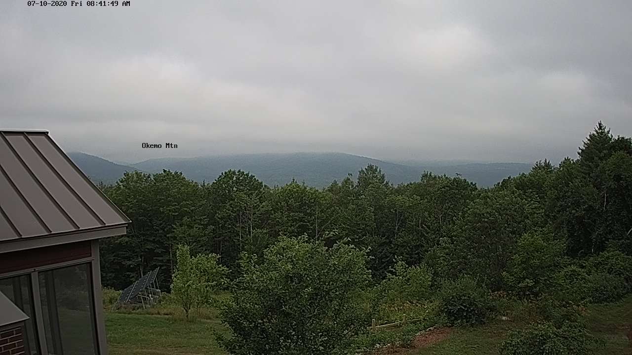
Updated Tuesday Morning Forecast — July 14th, 2020

TODAY: Few morning showers and thunderstorms eastern central areas becoming isolated. Otherwise variably cloudy. Scattered showers and afternoon thunderstorms likely, some with briefly heavy downpours, small hail and possible gusty winds. A high in the mid-70s. Light northwest winds.

TONIGHT: Any isolated showers or storms diminishing. Otherwise partly cloudy. Patchy valley fog. A low upper 50s. Light northwest winds.

WEDNESDAY: Patchy fog, then intervals of sun. Couple mountain showers maybe a clap of thunder. A high near 75. Light north winds.

Looking further ahead…

WEDNESDAY NIGHT: Scattered evening clouds, then mostly clear. A low in the low 60s.

THURSDAY: Pick of the week. Morning sun followed by afternoon cloudiness. A high 75 to 80.

FRIDAY: Morning showers and thunderstorms becoming isolated in the afternoon. Warmer and more humid. A low in the low 60s. A high in the mid to upper 70s.

SATURDAY: Widely scattered early morning thunderstorms northern areas. Otherwise, partly to mostly sunny. Warmer and more humid. A low around 65. A high around 85.

SUNDAY: Partly sunny hot and sticky. Slight chance for a thunderstorm northern areas. A low in the mid to upper 60s. A high upper 80s to around 90 with higher heat indices low 90s possible.

Peak of summer July 22nd. Average lows upper-50s to low 60s, average highs upper-70s to low 80s.

RH/7-14[end]
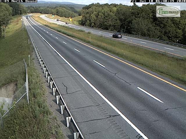
Updated Monday Evening forecast — July 13th, 2020

TONIGHT: Variable clouds. A few leftover thunderstorms winding down this evening. Chance for showers and maybe a thunderstorm overnight. Patchy valley fog. A low around 60. Light west winds.

TOMORROW: Patchy valley fog, otherwise variably cloudy with a few morning showers. Partial sunshine. Scattered showers and a few afternoon thunderstorms. A high in the mid-70s. Light northwest winds.

TUESDAY NIGHT: Widely scattered evening showers wind down early, then partly cloudy. A low upper 50s to around 60.

Light northwest winds.

WEDNESDAY: Patchy fog, then intervals of sun. Isolated mountain showers. A high near 75. Light north winds.

Looking further ahead…

WEDNESDAY NIGHT: Scattered evening clouds, then mostly clear. A low near 60.

THURSDAY: Pick of the week. Morning sun followed by afternoon cloudiness. A high mid to upper 70s.

FRIDAY: Morning showers and thunderstorms becoming isolated in the afternoon. Warmer and more humid. A low in the low 60s. A high near 80.

SATURDAY: Partly to mostly sunny. Warmer and more humid. A low around 65. A high in the mid-80s.

Average lows upper-50s to low 60s, average highs upper-70s to low 80s.

RH/7-13[end]
Updated Monday Morning Forecast — July 13th, 2020

TODAY: Patchy fog, then clouds mixed with sunshine. Widely scattered showers developing this morning…& brief thunderstorms especially near the mountains. A high in the upper 70s to around 80. Light northwest winds.

TONIGHT: Variable clouds. Chance for showers and a few leftover thunderstorms winding down this evening. More shows and storms developing toward daybreak. Patchy valley fog. A low around 60. Light west winds.

TUESDAY: Patchy valley fog, otherwise variably cloudy. Showers and scattered thunderstorms. Not so humid. A high in the mid-70s. Light northwest winds.

Looking further ahead…

TUESDAY NIGHT: Widely scattered evening showers wind down early, then partly cloudy. A low upper 50s to around 60.

WEDNESDAY: Pick of the week. Sunshine after morning fog. Partly sunny in the afternoon. A high in the mid-70s.

THURSDAY: Isolated to widely scattered showers and thunderstorms late afternoon. A low 55 to 60. A high in the upper 70s to near 80.

FRIDAY: Morning showers and thunderstorms becoming isolated in the afternoon. Warmer and more humid. A low 60 to 65. A high near 80.

Average lows upper-50s to low 60s, average highs upper-70s to low 80s.

RH/7-13[end]

Updated Friday Evening Forecast — July 10th, 2020

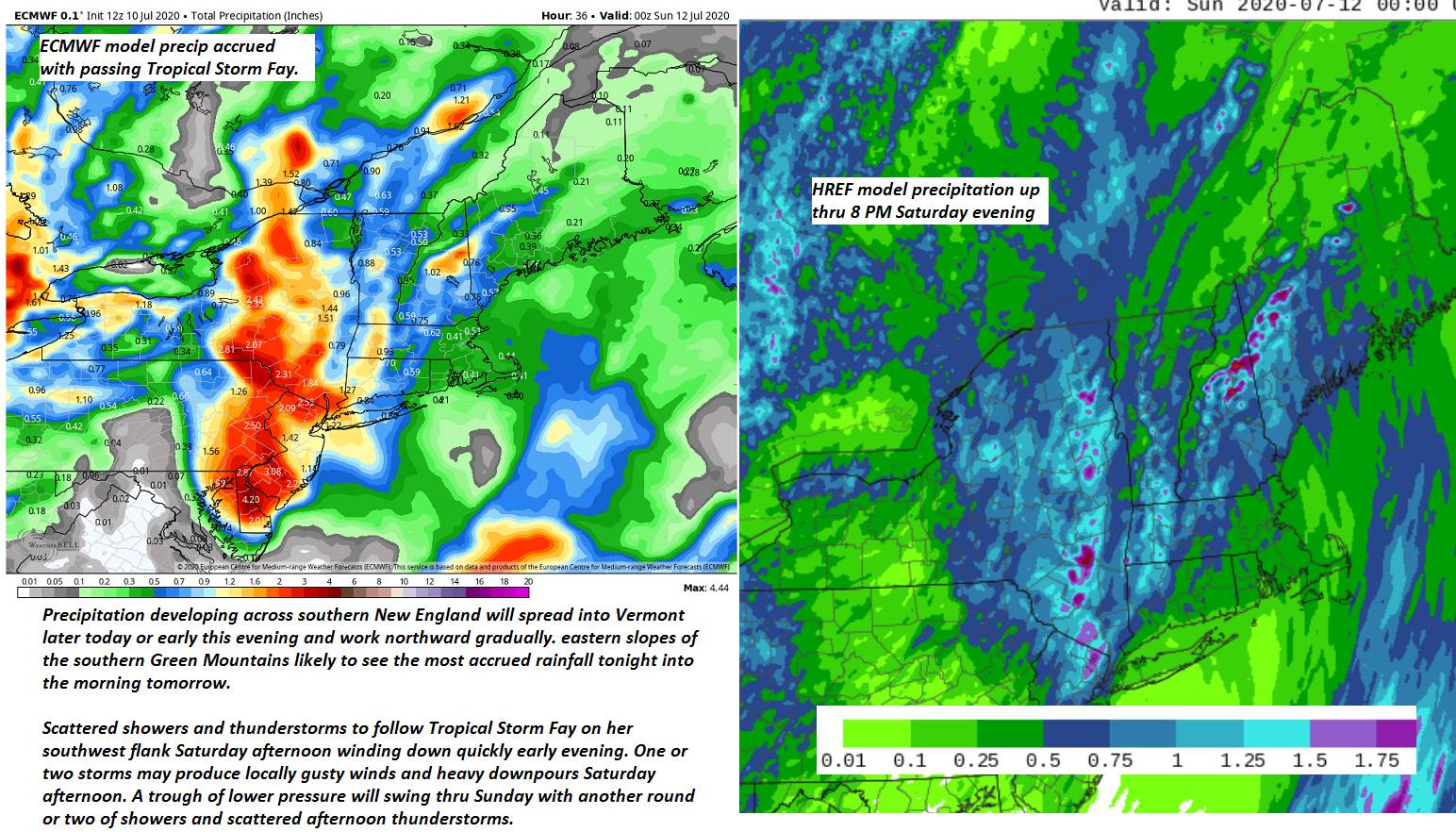
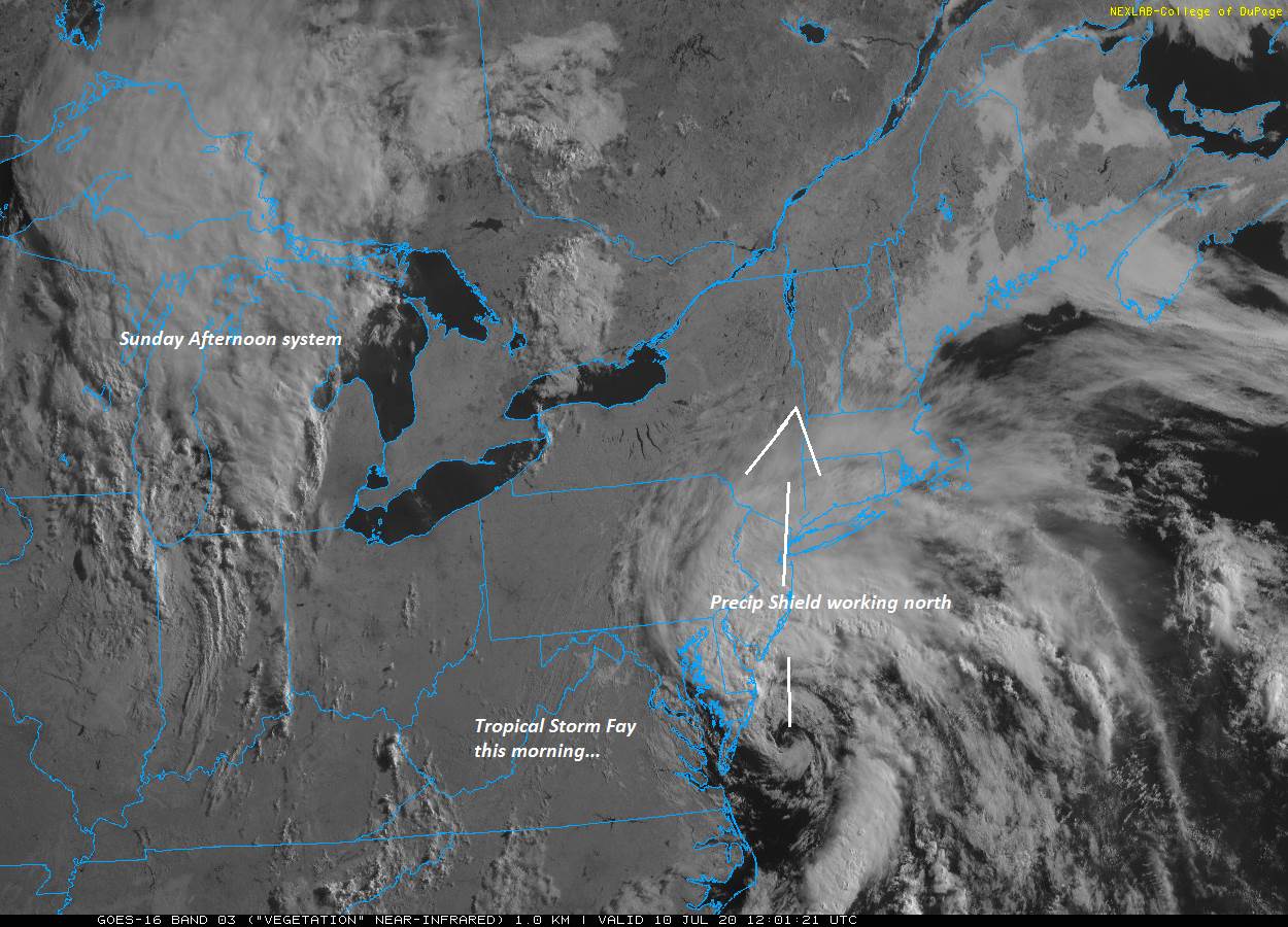
TONIGHT: Clouding up. Rising likelihood for showers southern areas spreading northward. Oppressive and uncomfortable but becoming breezy. A low around 70. Southeast breeze developing 10 to 20 mph overnight.

TOMORROW: Gray. Breezy to windy. Periods of rain… moderate to heavy at times through late morning, Intervals of sun developing with widely scattered showers and thunderstorms in the afternoon. Steamy but not as warm with a high in the low 80s. South to southeast breeze 10 to 25 mph with higher gusts, shifting to southerly late.

SATURDAY NIGHT: Evening showers with isolated thunderstorm early, then partly cloudy with areas of fog. Oppressive and uncomfortable with a low near 70. Light south winds.

SUNDAY: Partly cloudy. Good chance for showers and afternoon thunderstorms…some may be strong with heavy downpours. A high around 80. Southwest breeze 10 to 20 mph.

Looking further ahead…

SUNDAY NIGHT: Scattered showers and thunderstorms winding down. Otherwise becoming partly cloudy. A low 60 to 65.

MONDAY: Mixed sun and afternoon cloudiness. Chance for mainly late afternoon showers and thunderstorms. A high near 80.

TUESDAY: Partly sunny. Scattered showers and afternoon thunderstorms. Not so humid. A low upper 50s to 60. A high 75 to 80.

WEDNESDAY: Chance for morning showers, then partly to mostly sunny. Isolated afternoon thunderstorms. Cooler and not so humid. A low around 60. A high in the 70s.

Average lows mid-50s to low 60s, average highs upper-70s to low 80s.

RH/7-10[end]

Updated Friday Morning forecast — July 10th, 2020

TODAY: Morning sunshine gives way increasing high cloudiness this afternoon. Hot and steamy. A high upper 80s to around 90. Heat indices low to mid 90s. Southeast breeze 10 mph.

TONIGHT: Clouding up. Rising likelihood for showers southern areas spreading northward. Oppressive and uncomfortable but becoming breezy. A low in the low 70s. Southeast breeze developing 10 to 20 mph overnight.

SATURDAY: Gray. Breezy to windy. Periods of rain… moderate to heavy at times through late morning, Intervals of sun developing with widely scattered showers and thunderstorms in the afternoon. Steamy but not as warm with a high around 80. South to southeast breeze 10 to 25mph with higher gusts shifting southerly late.

Looking further ahead…

SATURDAY NIGHT: Evening showers with isolated thunderstorm early, then partly cloudy with areas of fog. Oppressive and uncomfortable with a low near 70.

SUNDAY: Partly cloudy. Good chance for showers and afternoon thunderstorms…some may be strong with heavy downpours. A high around 80.

MONDAY: Mixed sun and afternoon cloudiness. Chance for mainly late afternoon showers and thunderstorms. A low around 65. A high 75 to 80.

TUESDAY: Partly sunny. Widely scattered showers and afternoon thunderstorms. A low upper 50s to 60. A high 75 to 80.

Average lows mid-50s to low 60s, average highs upper-70s to low 80s.

RH/7-10[end]