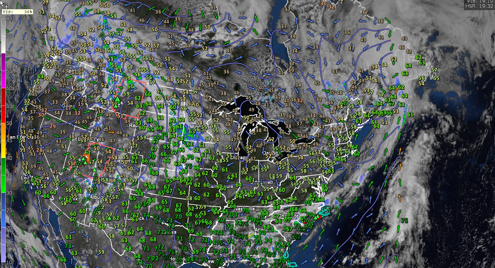
Dew point Temperatures shown above…
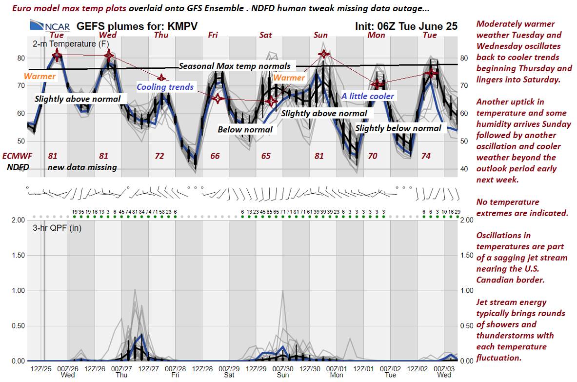
TONIGHT: Clear & partially moonlit. Patchy valley fog. A low mid to upper 40s. Light northwest winds.
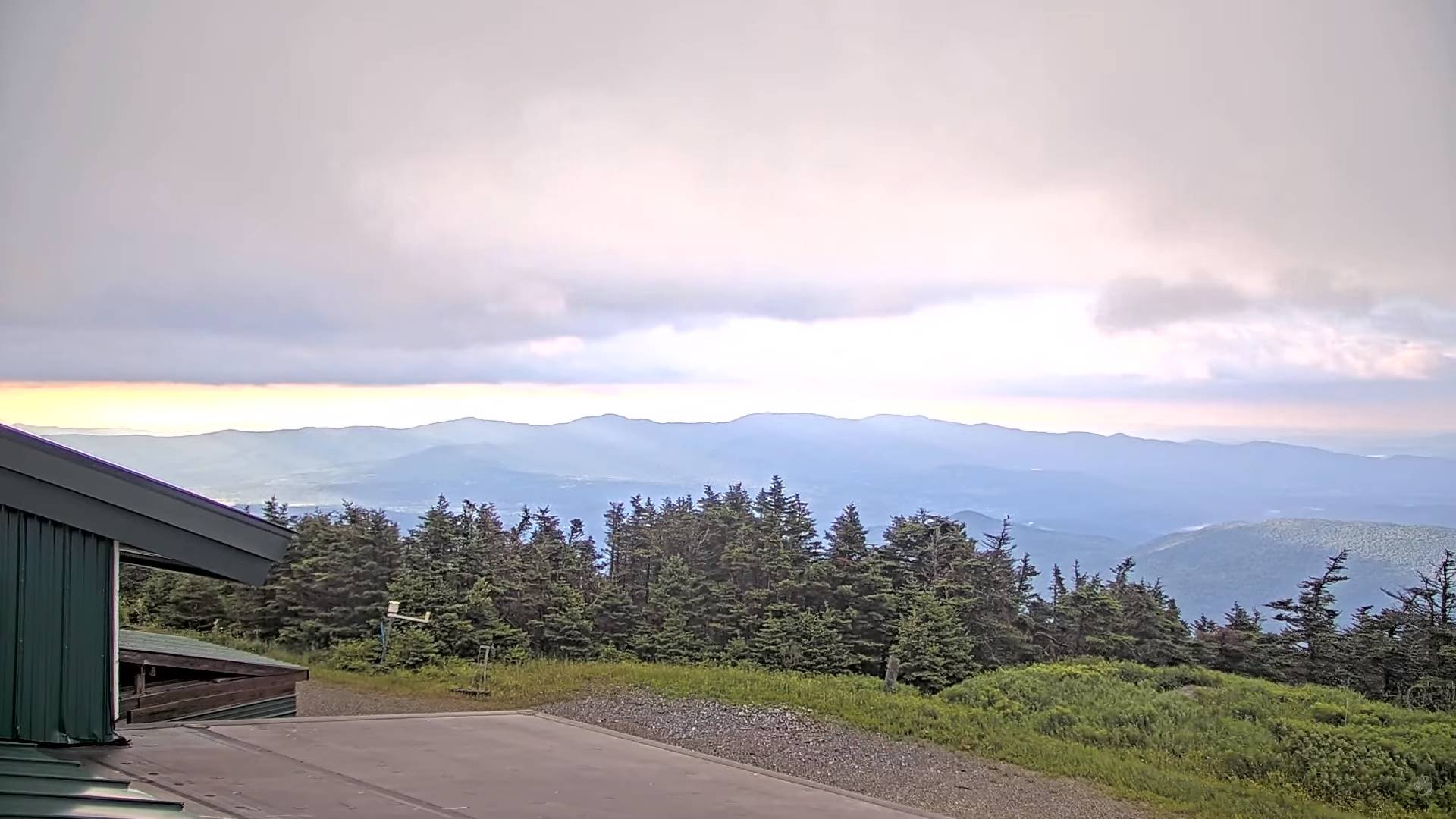
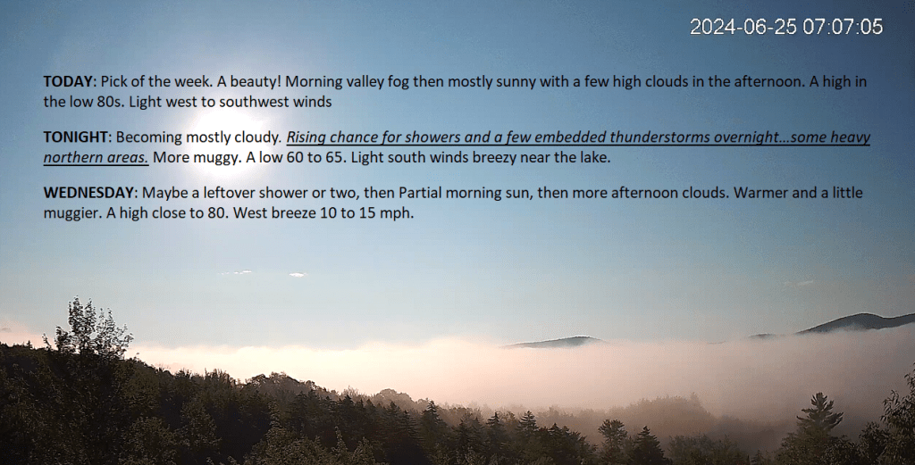
TOMORROW: Patchy valley fog then sunny. Cool & comfortable with low humidity. A high upper 60s. Light northwest winds.
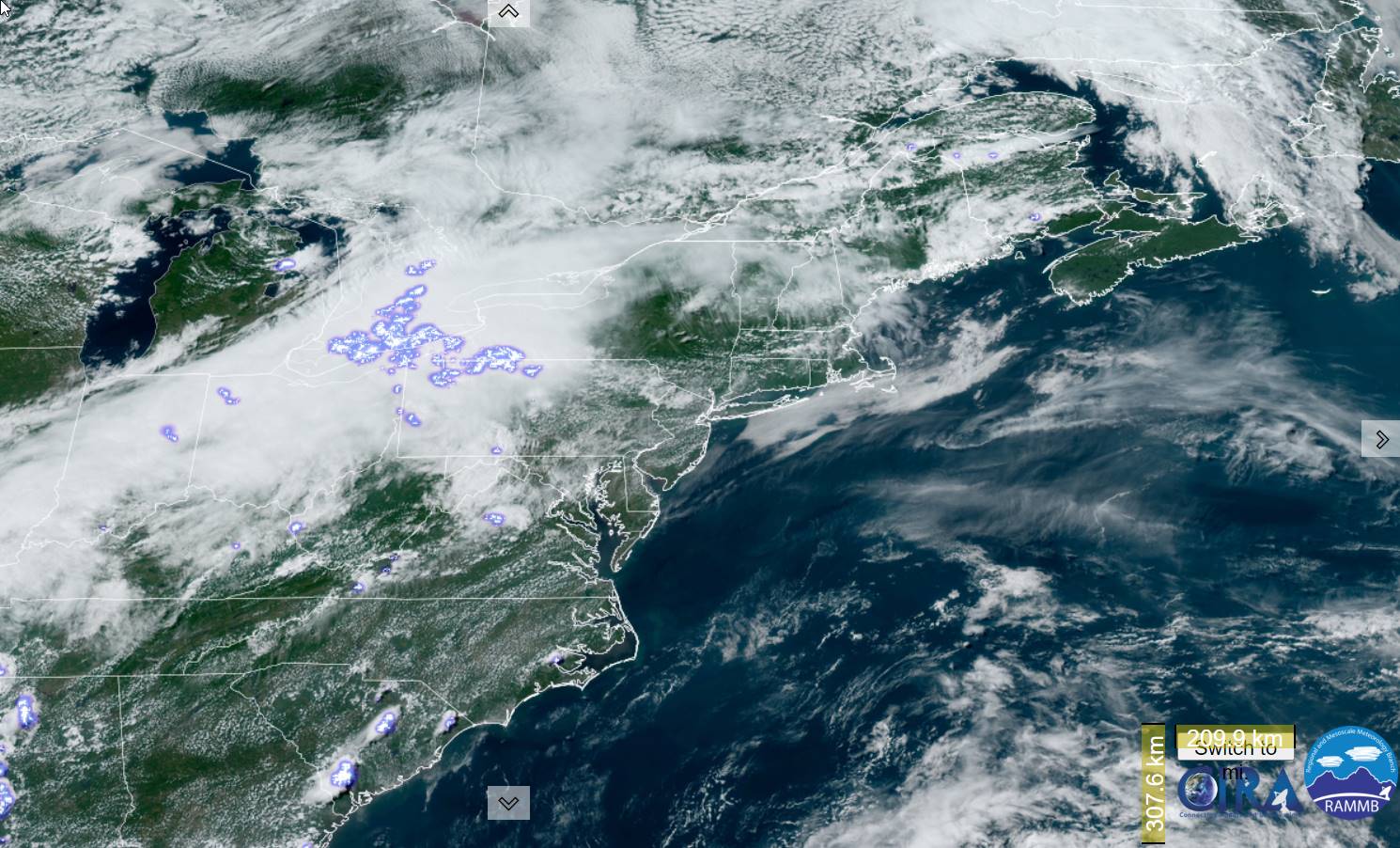
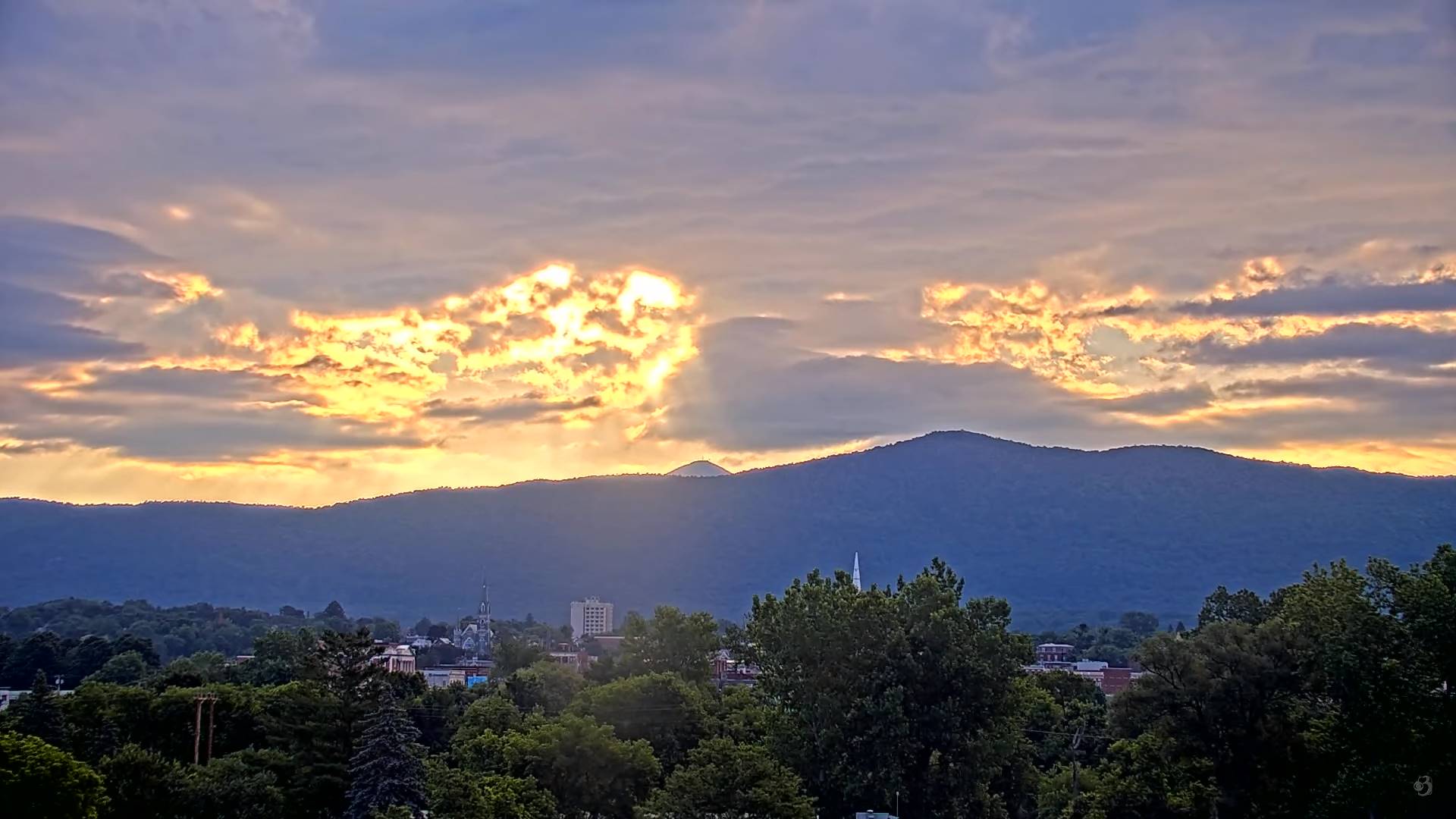
FRIDAY NIGHT: Increasing & thickening clouds.A low in the low 50s. Light south to southeast winds stronger near the lake..
SATURDAY: Gray. Showers & embedded thunderstorms becoming likely late afternoon into the evening. Some possibly heavy. A high in the mid-70s and increasingly humid. South breeze 10 to 15 mph stronger near the lake.
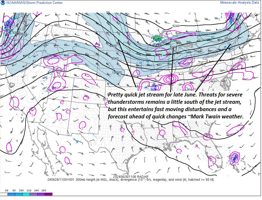
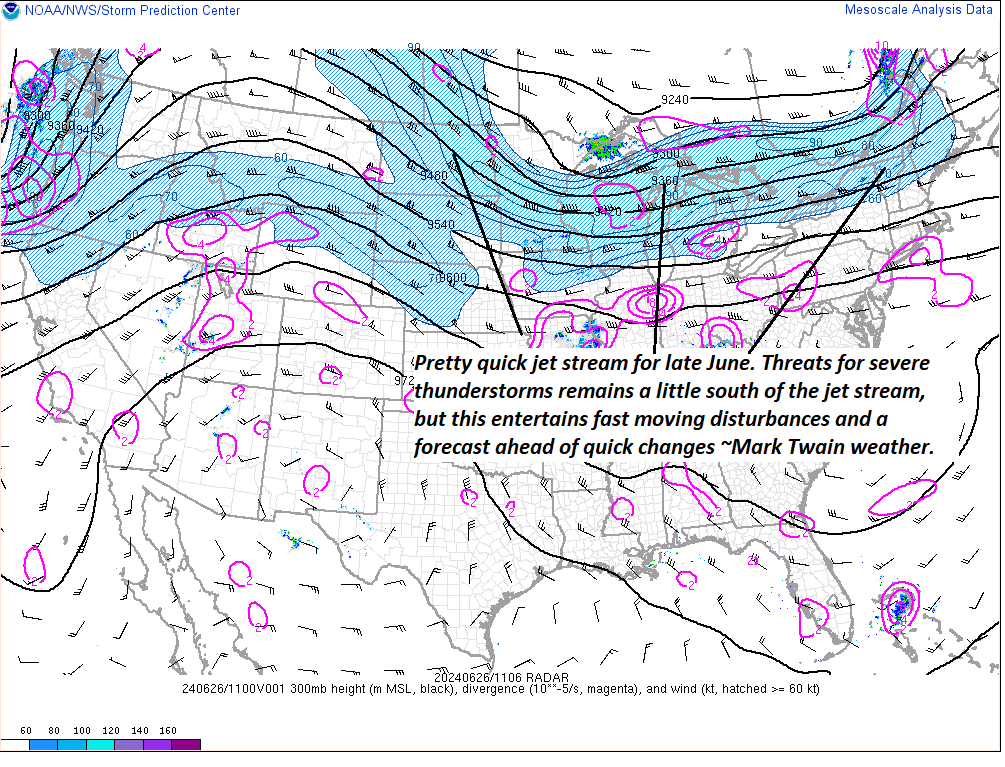
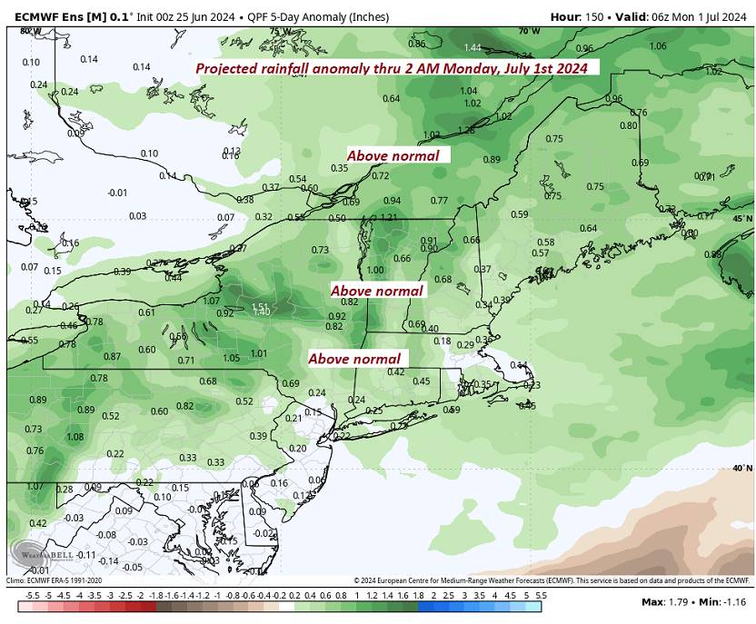
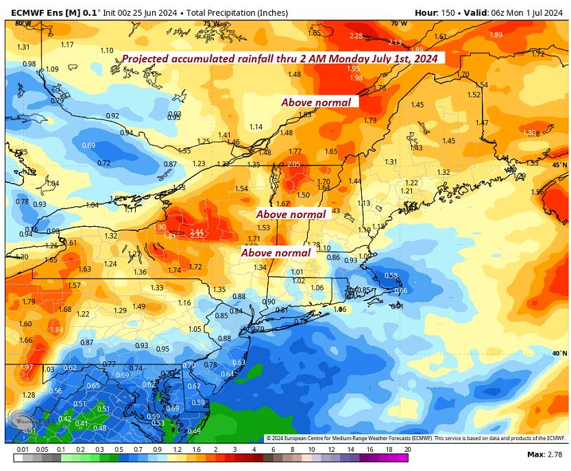
Looking further ahead
SATURDAY NIGHT: Cloudy. Showers and a few embedded thunderstorms likely in the evening…tapering to few showers toward daybreak. A low near 65.
SUNDAY: Clouds with widely scattered leftover showers early, gives way to partial sunshine. Scattered showers and a few thunderstorms later in the afternoon northern border areas. Muggy. A high pushing 80.
MONDAY: Mixed clouds and sun. Widely scattered afternoon showers & thunderstorms. A low in the upper 50s near 60. A high 70 to 75.
TUESDAY: Mostly sunny. A low in the low 50s A high in the mid-70s.
Average lows low to mid 50s. Average high mid-70s to low 80s
RH/6-76forecast][end]