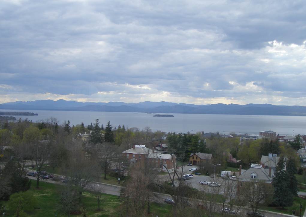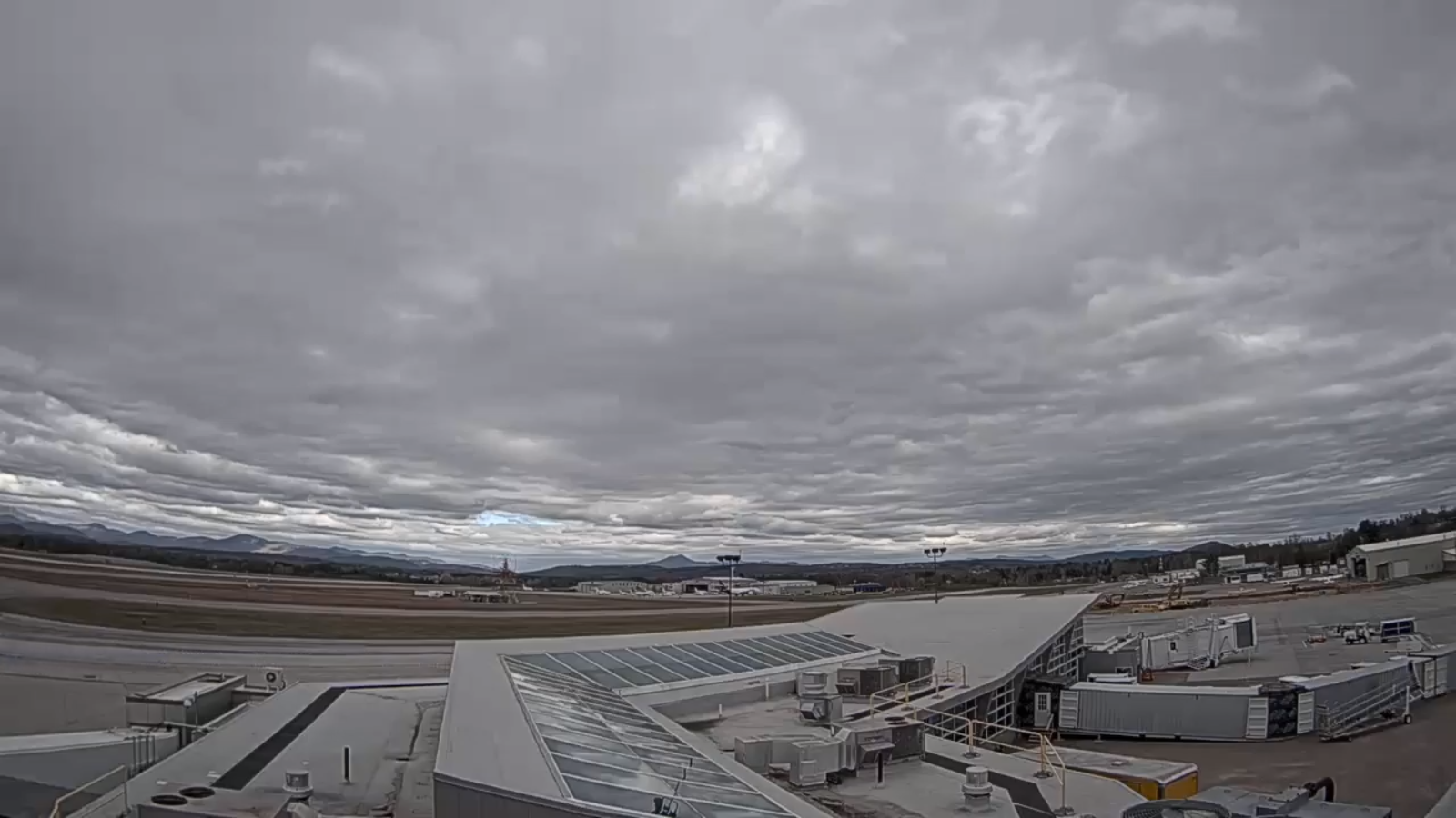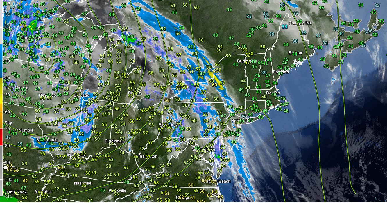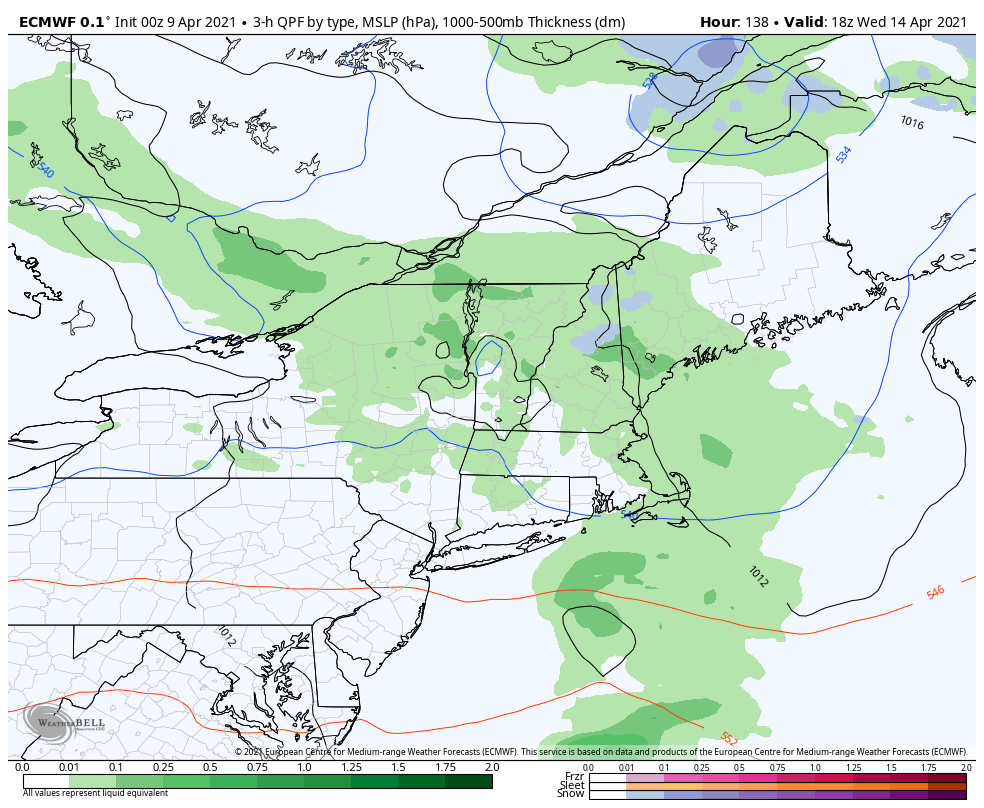
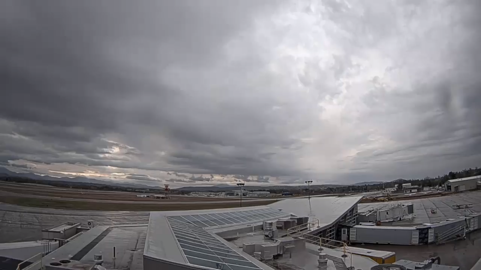
TODAY: Gray. Occasional light rain develops thru this morning…moderate at times this afternoon…mixed with wet accumulating snow after 5 PM. A high 45 to 50 except near 55 Northeast Kingdom. Southeast breeze 10 to 15 mph.
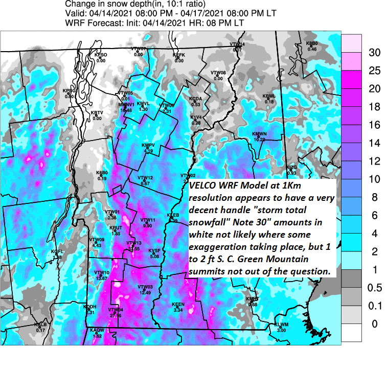
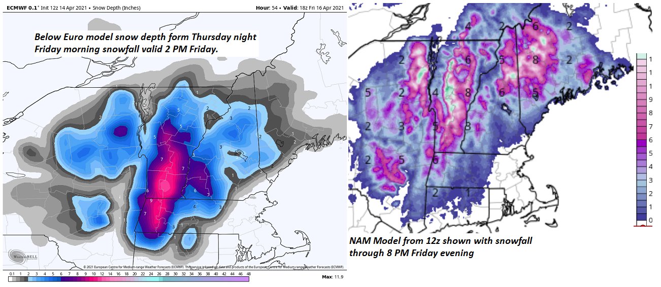
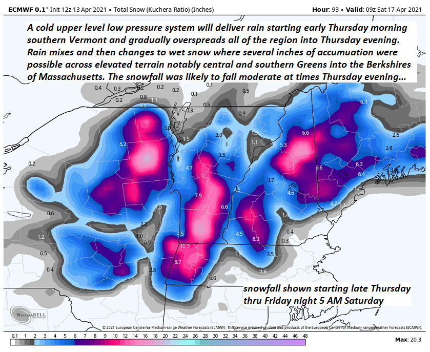
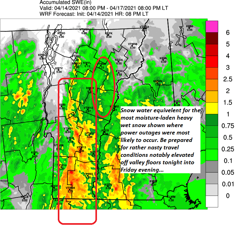
Winter Storm Warning central & southern Green Mountain & high terrain with Winter weather advisories Washington and Orange counties 8 PM this evening thru 8 PM Friday…
TONIGHT: Cloudy. Periods of wet snow…moderate to heavy at times especially central and southern Vermont. About 2 to 5” northern Vermont, with 4 to locally 10” central and southern Green Mountains and adjacent high terrain above about 1000 ft. A low 32 to 35. Light northeast winds.
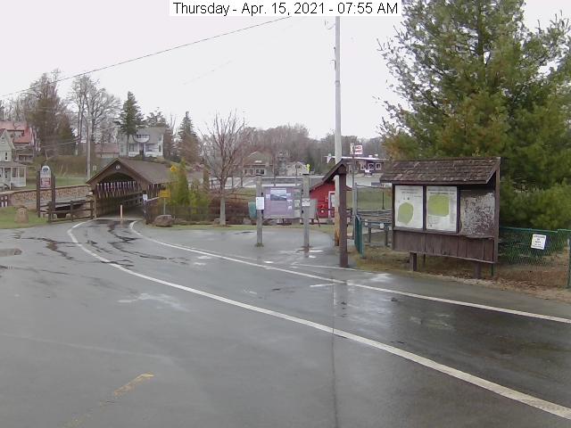
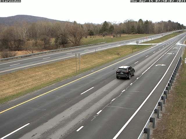
FRIDAY: Overcast. Periods of accumulating wet snow…mixed with rain lower valleys. Accumulations about additional 2 to 4”. A high in the mid-30s except 35 to 40 lower western valleys. Northeast winds 10 to 15 mph.
Looking further ahead…
FRIDAY NIGHT: Mostly cloudy with occasional light snow showers or flurries exiting toward daybreak. Minor accumulations. A low 32 to 35.
SATURDAY: Considerable cloudiness. A high 40 to 45.
SUNDAY: Lots of clouds. A low 30 to 35. A high in the mid-50s.
MONDAY: Partly to mostly sunny. A low 25 to 30. A high around 55.
Average low in the 30s. Average highs low to mid 50s.
Start of Meteorological Summer June 6th… Summer peaks approx.. July 22nd based off local climatology.
RH/4-15 category forecast][end]