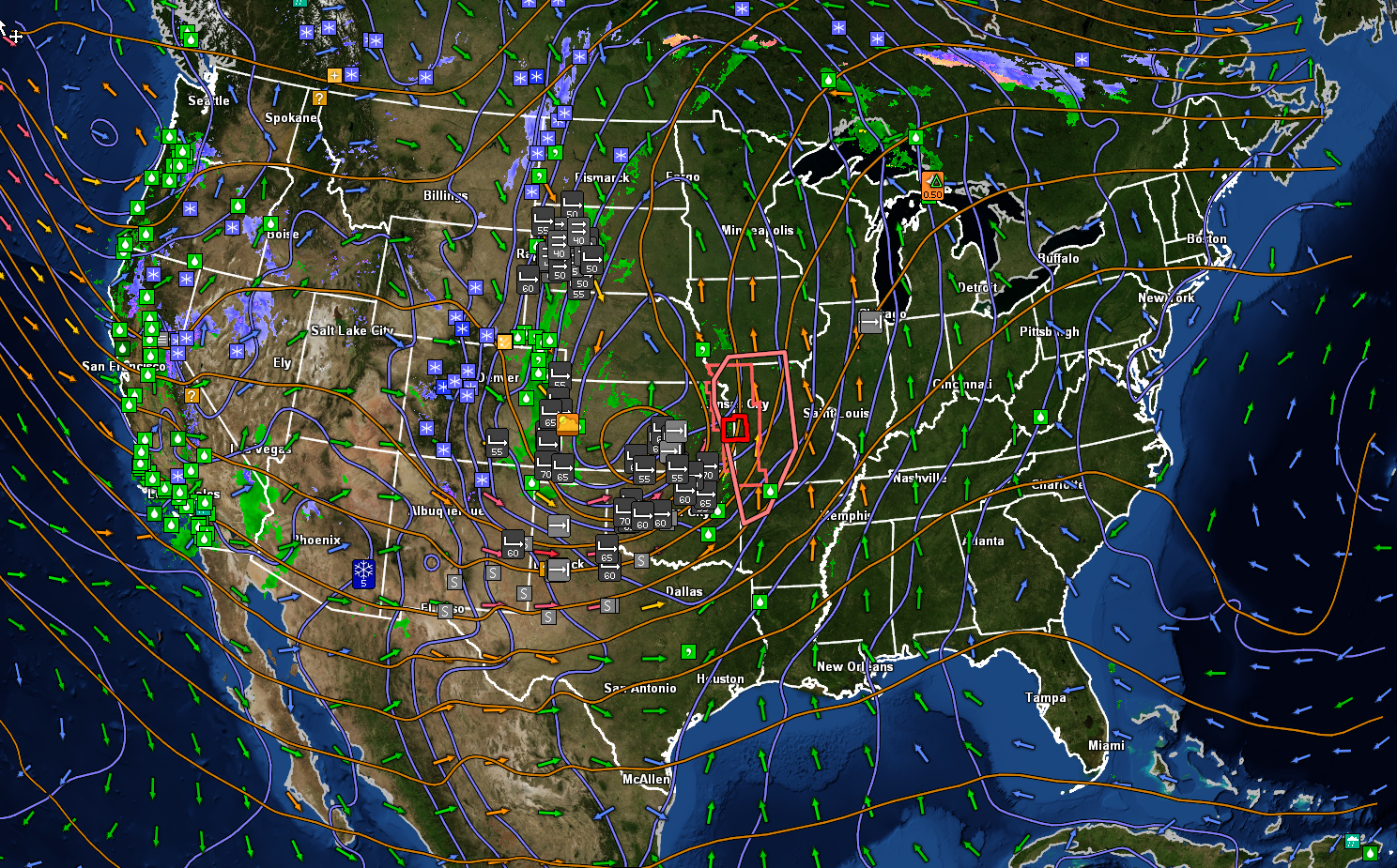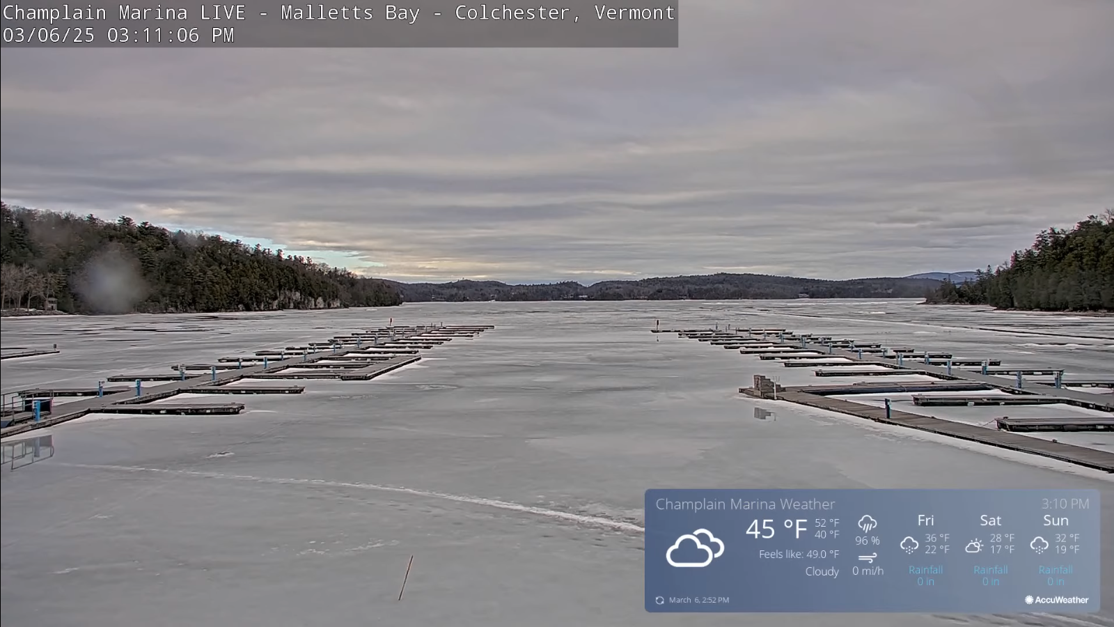
Roger Hill’s Radio Vermont Forecast 3:00 PM WEDNESDAY 3-19-25
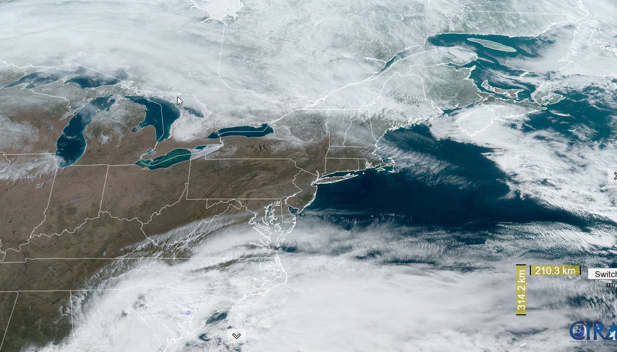
TONIGHT: Lots of clouds. Rain showers developing around midnight mixing with wet snow toward daybreak with a light coating in spots. A low in the low 30s. Light winds becoming westerly overnight and picking up around daybreak.

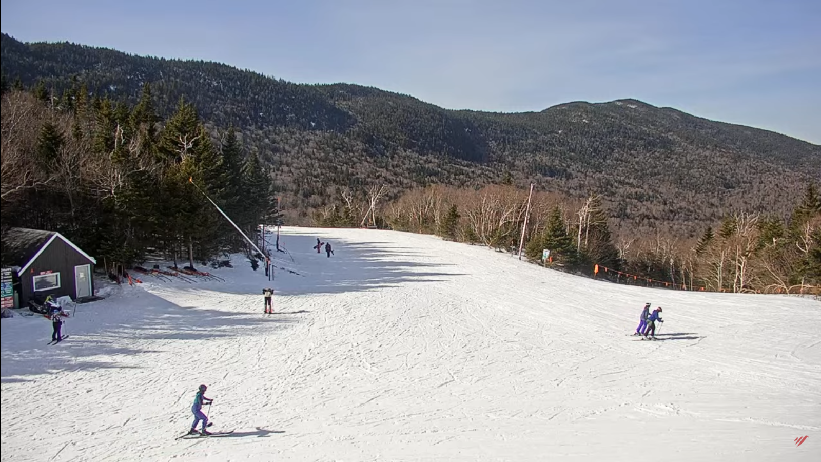
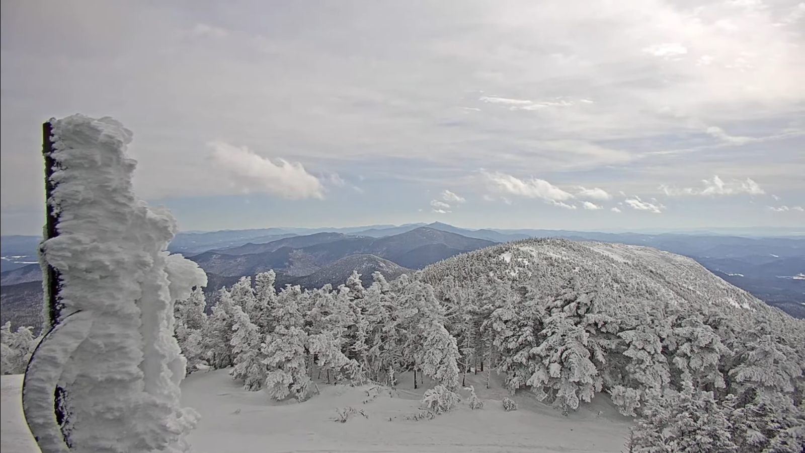
TOMORROW: Lingering morning clouds with a few stray flurries exiting the Northeast Kingdom. Lots of sun developing for the afternoon. Blustery to windy and sharply colder. A high in the upper 30s. Northwest winds 10 to 25 mph especially southern areas.
FRIDAY NIGHT: Mostly clear and colder.A low in the mid-20s. Light west winds.
SATURDAY: Morning sun then more clouds. A high 50 to 55. Chance for rain showers arriving later in the afternoon…mixing with wet snow around dark with a dusting high terrain. South to southwest winds 10 to 15 mph stronger near the lake.
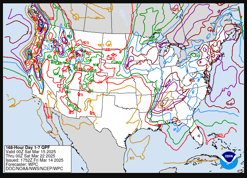
Looking further ahead
SATURDAY NIGHT: Couple leftover flurries early. Otherwise, partly to mostly cloudy. A low 15 to 20
SUNDAY: Some morning clouds then sunny, but colder. A high 32 to 35.
MONDAY: Chance for morning wet snow, or snow showers. About an inch. Scattered rain showers with partial clearing in the afternoon. Maybe a mountain flurry late. A low around 20. Highs close to 40.
TUESDAY: Clouds with a few intervals of sunshine. Scattered rain and mountain summit snow showers lingering. A low around 30. A high in the low 40s.
Average low: ranging upper teens to mid-20s. Average high upper 30s to mid-40s.
RH/3-19[forecast][end]