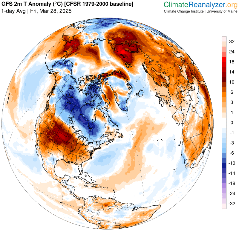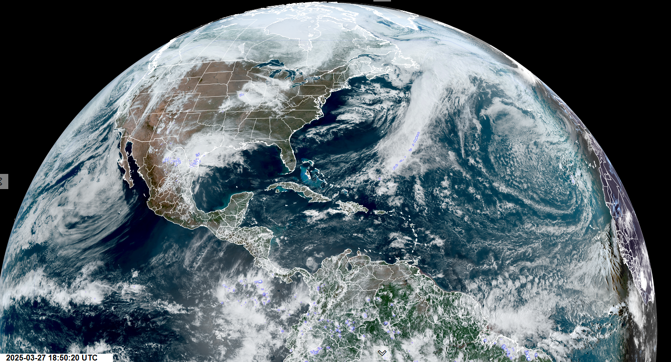
Roger Hill’s Radio Vermont Forecast 3:00 PM Friday 4-4-25
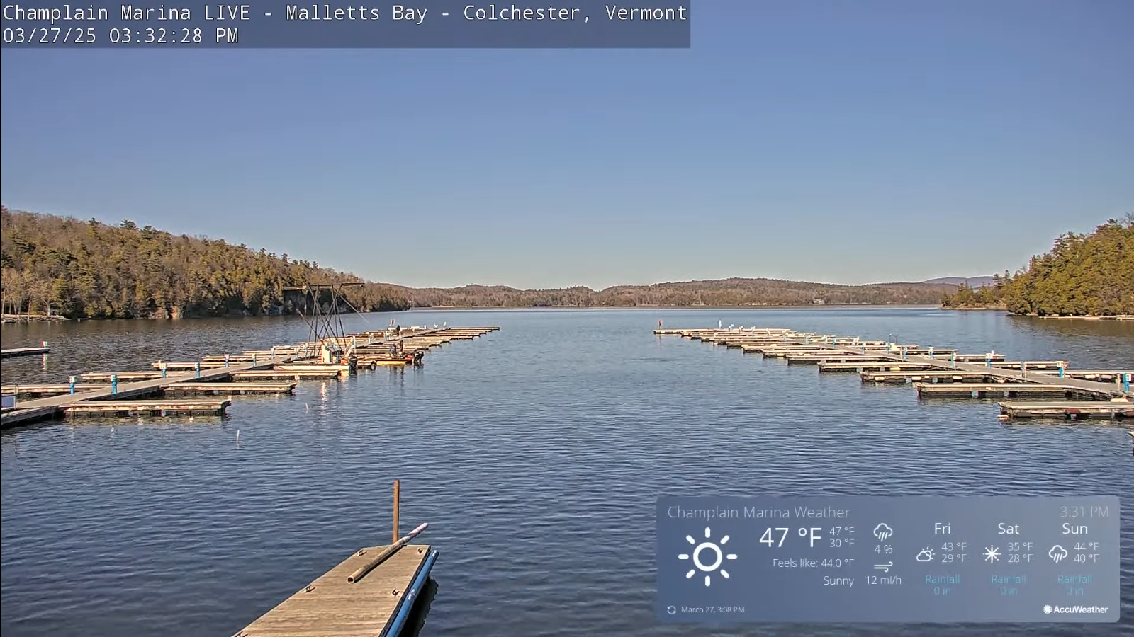
TONIGHT: Mostly clear this evening. Thickening clouds overnight. A low in the lower 30s. Light north to northeast winds.
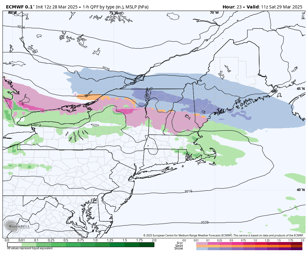
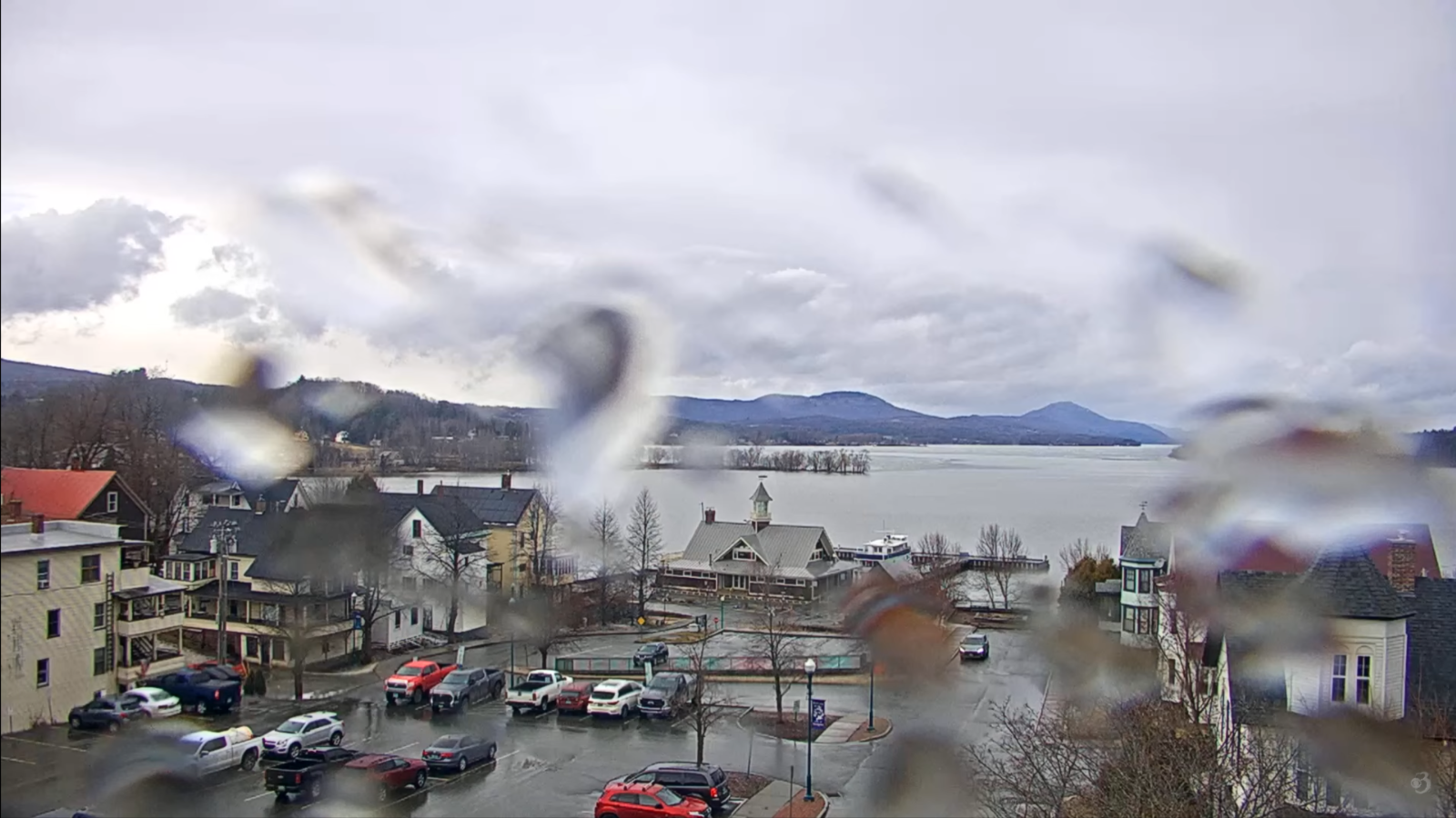
TOMORROW: Gray. Rain with a brief periods of mixed precipitation mid-day on. A high in the upper 30s. Southeast winds 10 to 15 mph.
SATURDAY NIGHT: Overcast. Periods of light rain, with a risk for spotty freezing rain colder pockets. A low in the mid-30s. South winds 10 mph.
SUNDAY: A few sprinkles or wet snow flakes exiting early, otherwise clouds giving way to breaks of sun in the afternoon. A high mid to upper 40s. Northwest winds 10 to 20 mph.

Looking further ahead
SUNDAY NIGHT: Lot of clouds trending toward partial clearing. A low in the upper 20s around 30.
MONDAY: A beauty. Bright spring sunshine. A high in the mid-40s.
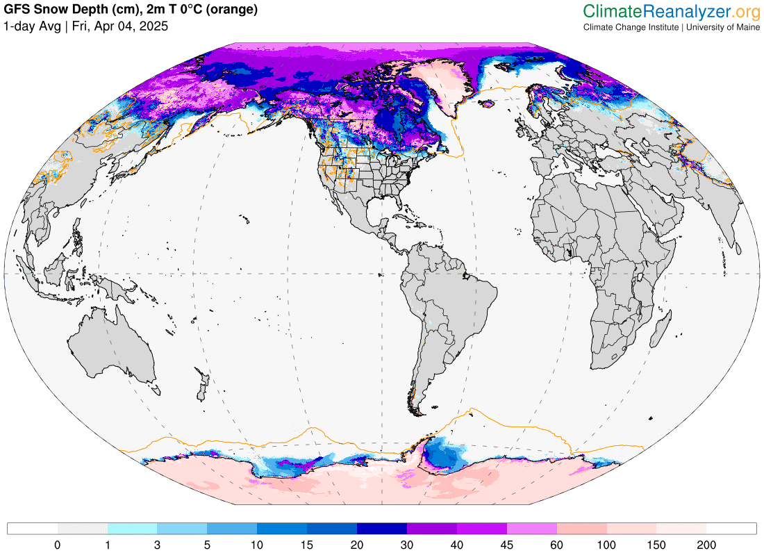
TUESDAY: Cloudy. Chance for accumulating snow or snow showers with up to 2”. A morning low about 30. Sharply colder, temperatures falling thru the 20s in the afternoon.
WEDNESDAY: Mostly cloudy in the morning, then lots of afternoon sunshine. A low upper teens to low 20s. A high mid to upper 30s.
Average low: range thru the 20s. Average highs: 45 to 50.
RH/4-4[forecast][end]