Roger Hill’s Radio Vermont Forecast 3:00 PM WEDNESDAY 7-3-25
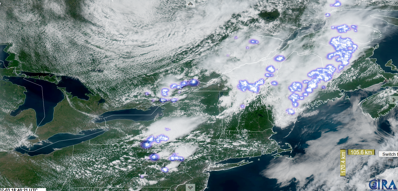
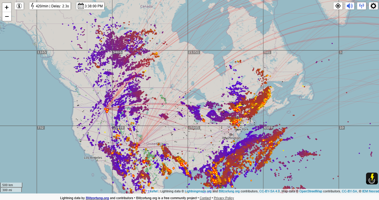
TONIGHT: A few leftover shower & thunderstorms northern areas exiting this evening. Clearing, becoming cooler & less humid. A low 50 to 55. Light northwest winds.
TOMORROW THE 4TH: Mixed sun and clouds.A couple sprinkles northern mountains.Comfortable.A high near 70. Northwest winds 10 to 15 mph.
FRIDAY NIGHT: Moistly clear with high clouds overnight. Patchy valley fog. A low 50 to 55. Light west to southwest winds.
SATURDAY: Filtered sun giving way to late afternoon clouds.Isolated late day showers or thunderstorms Northeast Kingdom. Fairly comfortable.A high in the upper 70s. Light southwest winds.

Looking further ahead
SATURDAY NIGHT: Partly cloudy to mostly clear. Patchy valley fog. A low in the mid-60s.
SUNDAY: Sunshine with high cloudiness. Muggy again & warmer. A high upper 80s near 90.
MONDAY: Sunshine after patchy valley fog, with late day cloudiness. Widely scattered late day & evening showers and thunderstorms. Very sticky. Morning lows upper 60s. Highs around 90.
TUESDAY: Considerable morning clouds & fog, burning off to lots of afternoon sunshine. Lows mid to upper 60s. Becoming less humid in the afternoon with highs around 75.
Average low: low to mid-50s. Average highs: upper 70s to low 80s.
Peak of Meteorological Summer July 22nd.
Admin: Off, no forecast issued July 7th thru August 1st back Monday August 4th
RH/7-3[forecast][end]