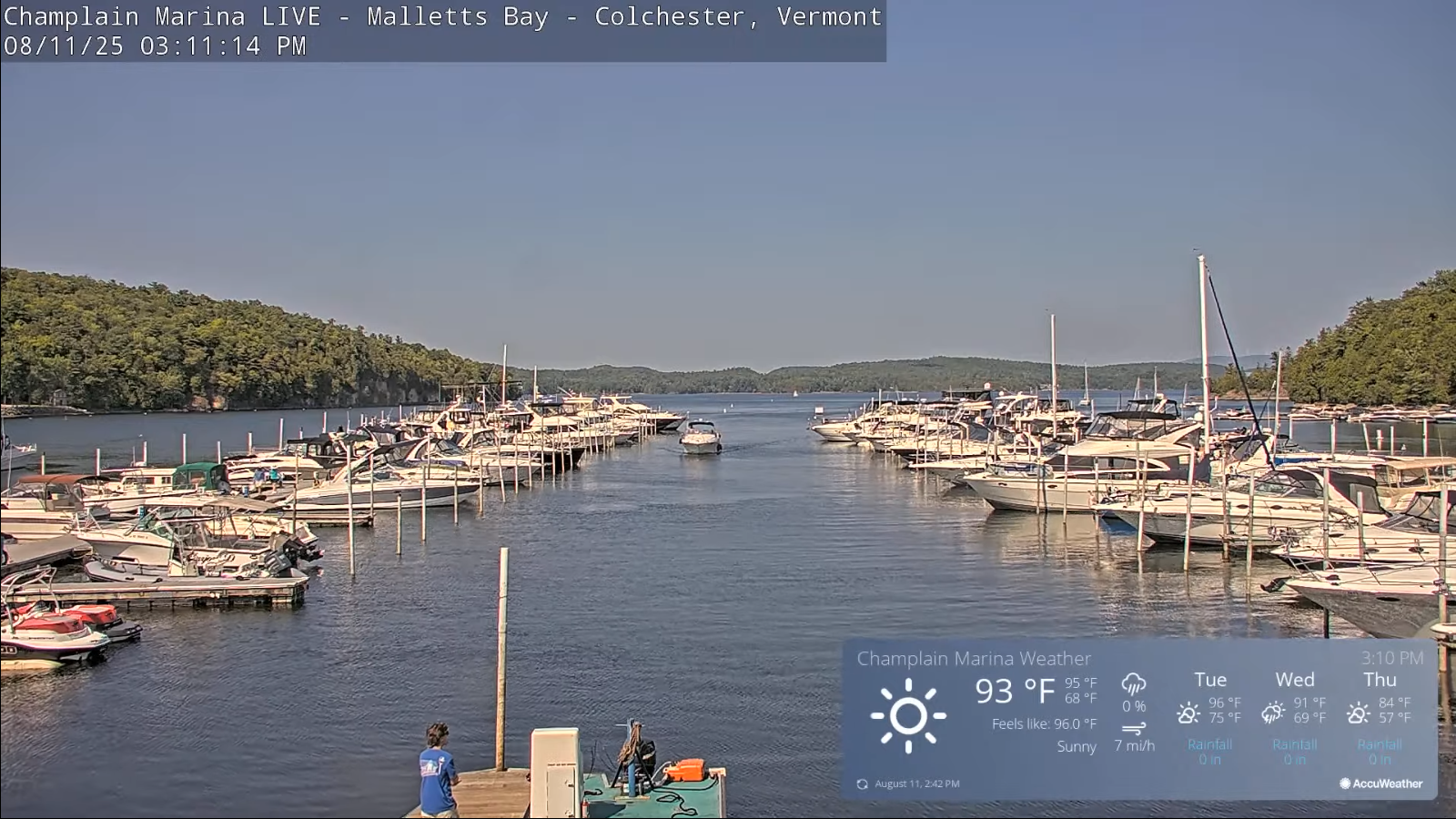
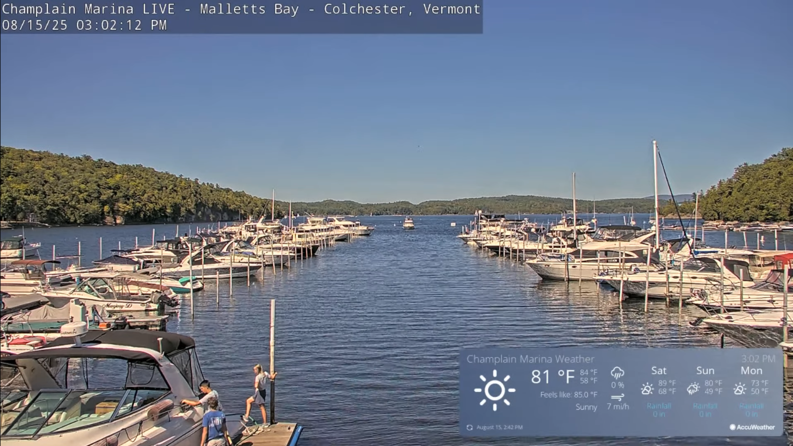
Roger Hill’s Radio Vermont Forecast 3:00 PM FRIDAY 8-15-25
TONIGHT: Clear & comfortably cool. A low in the mid-50s. Little wind.

TOMORROW: Sunshine with a few high clouds. Low to moderate humidity. Highs 80 to 85. Light west to southwest breeze.
SATURDAY NIGHT: Mostly clear with a few high clouds. A low 60 to 65. Light southwest winds breezier near Lake Champlain.

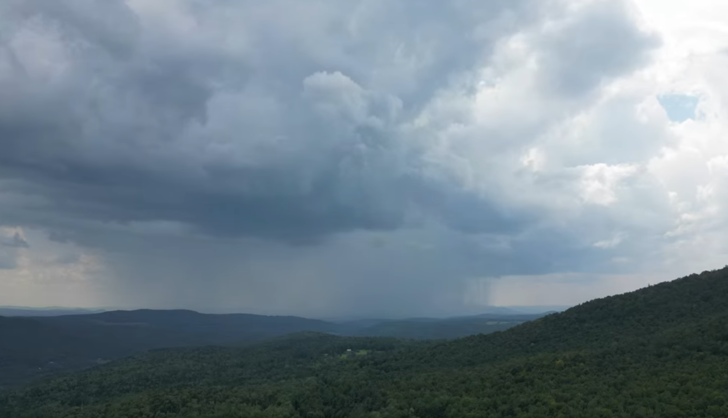
SUNDAY: Filtered sun, then more afternoon clouds. Scattered afternoon showers & thunderstorms. Mugginess returns. An early high 80 to 85. Breezy northwest winds in the afternoon.
Looking further ahead
SUNDAY NIGHT: Clearing & tad chilly.A low upper 40s to around 50.
MONDAY: Sunshine becoming filtered thru high clouds. Cool much less humid. Highs upper 60s around 70.
TUESDAY: Clouds in the morning then sunny.Comfortable. Lows 50 to 55. Highs around 75.
WEDNESDAY: Variable clouds. Slight chance of late afternoon showers. Lows 50 to 55. Highs 70 to 75.
Average low: ranging thru the 50s. Average highs: mid 70s to 80.
End of Meteorological Summer September 5th
RH/8-15/forecast][end]