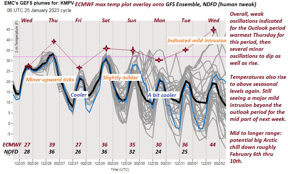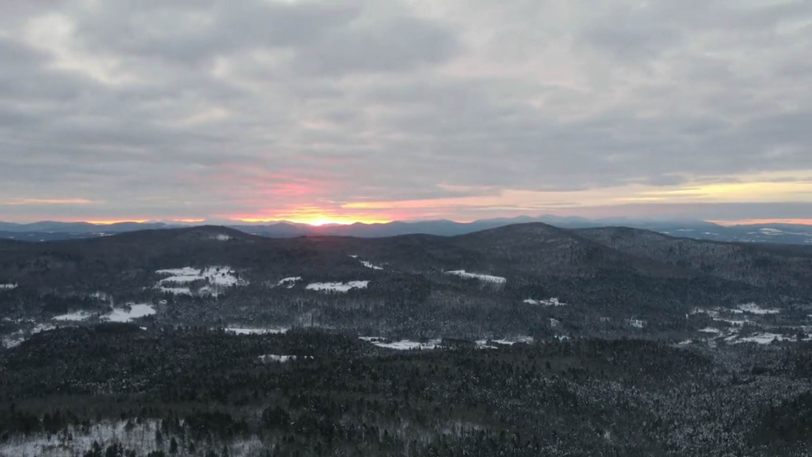
TONIGHT: Fair early then thickening high clouds. A low 15 to 20. Light south winds, stronger near Lake Champlain.
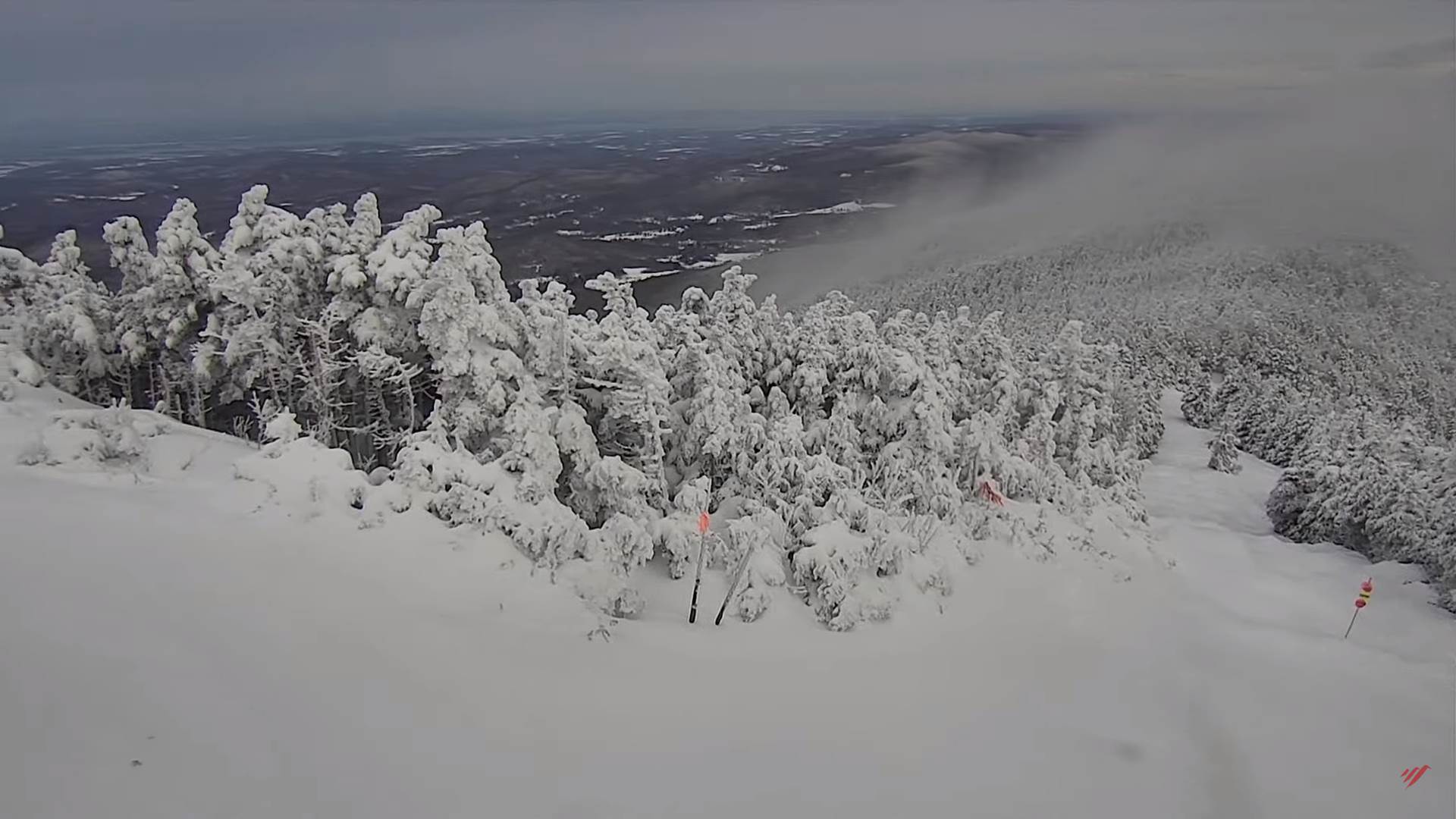
TOMORROW: Clouds with a few breaks of sun. Widely scattered northern mountain flurries. Little to no accumulation. A high near 35. Southwest winds shifting to westerly 10 to 20 mph.
SATURDAY NIGHT: Partly cloudy then more clouds. A low mid to upper teens. Light southwest winds.
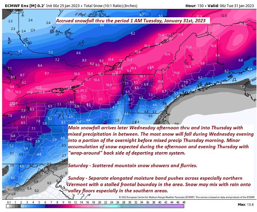
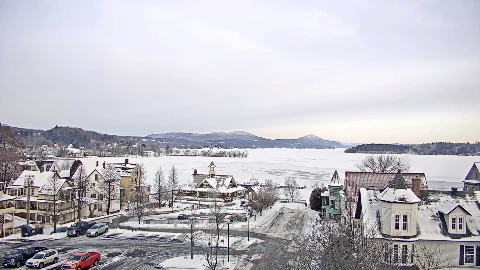
SUNDAY: Gray. Chance for accumulating wet snow of 1 to 3” possible across the northern higher terrain, mixed with rain drops southern valley floors. A high mid to upper 30s. Light southeast winds.
Looking further ahead
SUNDAY NIGHT: Partly cloudy. A low in the single digits.
MONDAY: Mixed sun and clouds. Maybe a few flurries developing late. A high upper 20s to around 30.
TUESDAY: Any leftover snow showers or flurries exit to variable clouds. A low single digits. A high in the mid-20s.
WEDNESDAY: Bright sunshine with a few high clouds. A low 5 below to 5 above. A high about 20 to 25.
Average lows single digits to near 10 above. Average highs mid to upper 20s.
Climatological winter ends March 9th…
RH/1-27forecast][end]