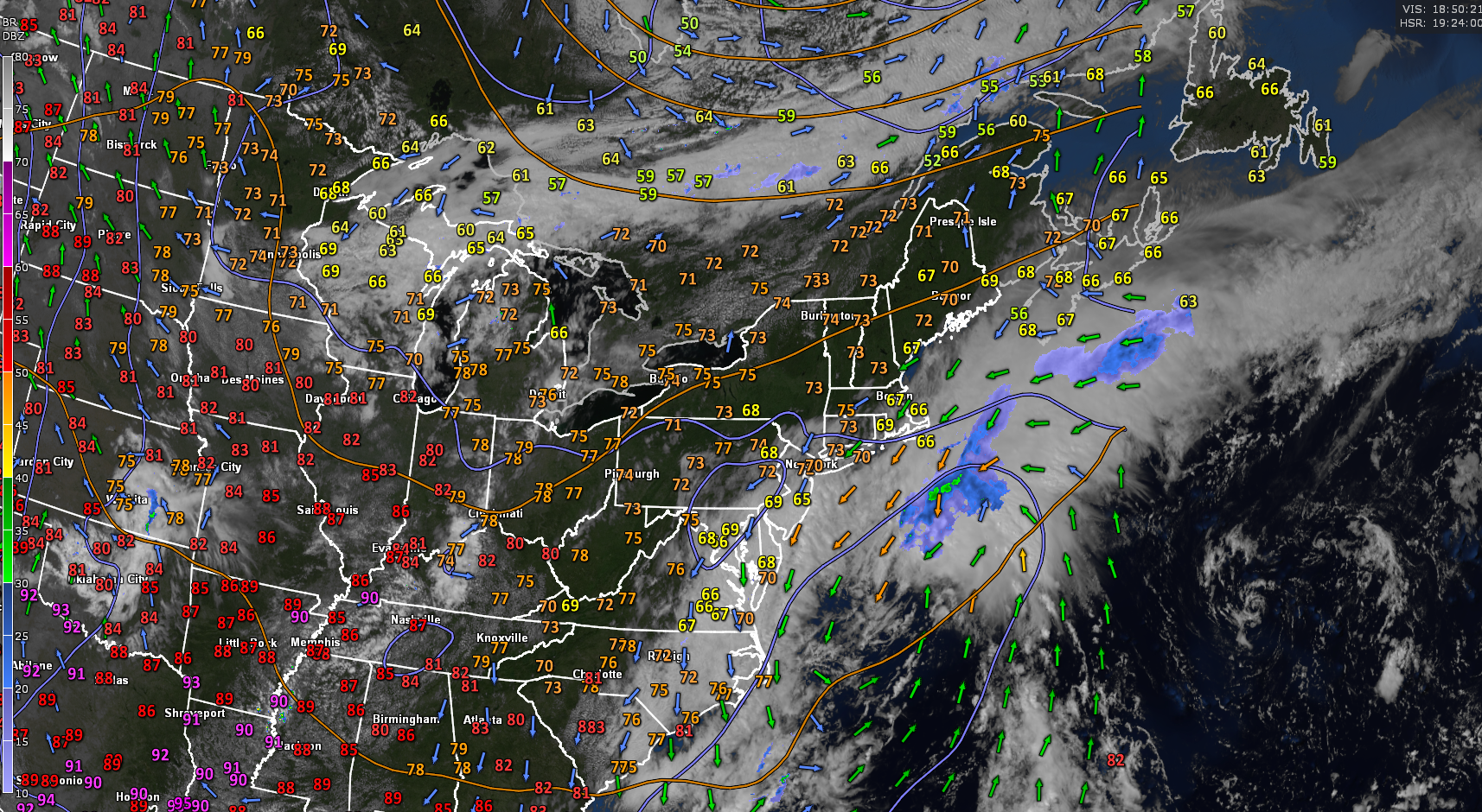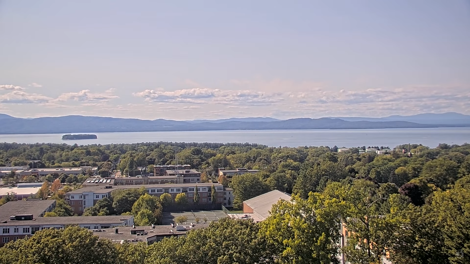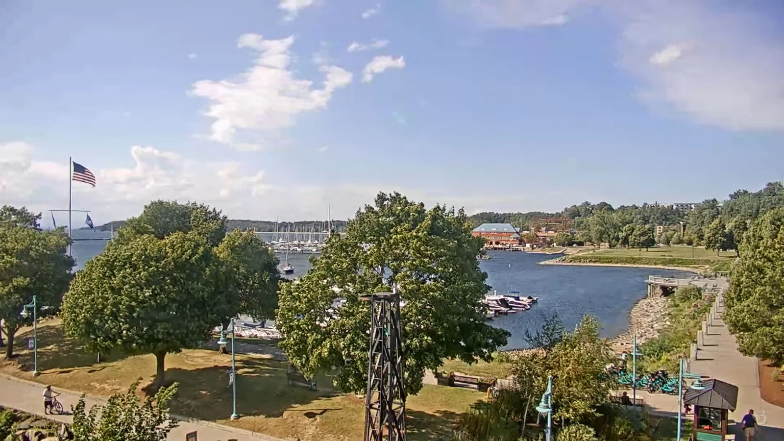
Roger Hill’s Radio Vermont Forecast 3:00 PM FRIDAY 9-12-25
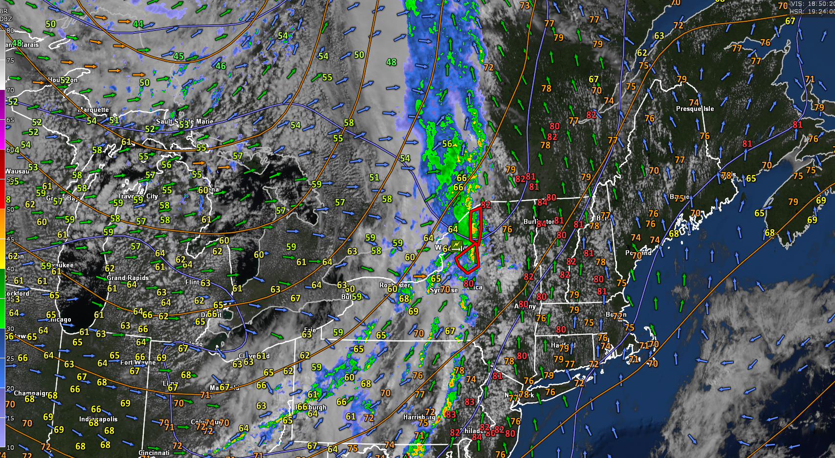
TONIGHT: Fair & cool with lots of clouds overnight. Patchy valley fog. A low in the mid-40s. Little wind.
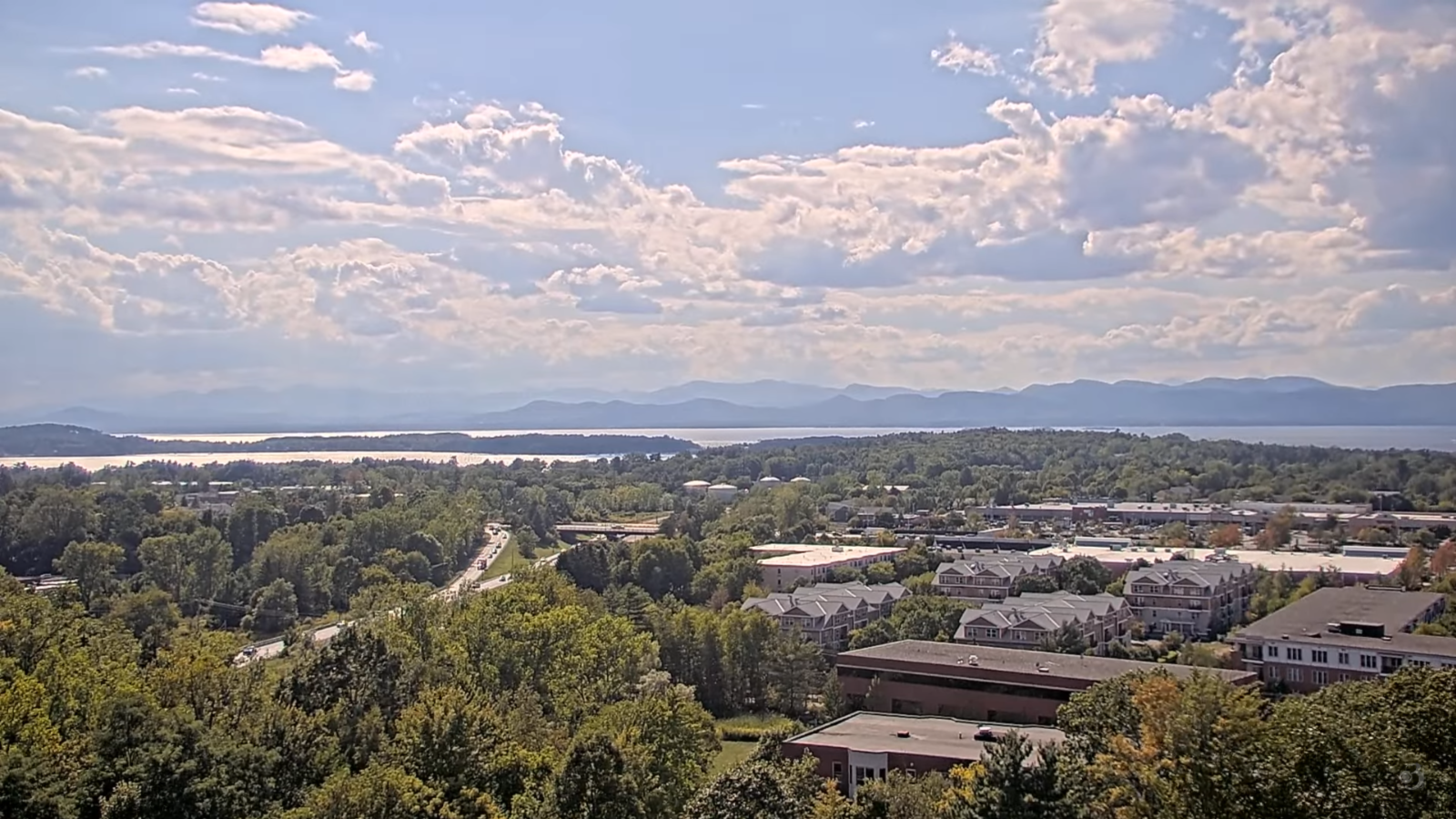
TOMORROW: More clouds than sun. A possible passing sprinkle. A high in the upper 60s near 70. Light west winds.

SATURDAY NIGHT: Mostly cloudy.A low in the lower 50s. Little wind.
SUNDAY: Mixed clouds & sun. A brief passing light shower is possible. A high around 70. Light northwest winds.
Looking further ahead
SUNDAY NIGHT: Mostly clear with patchy valley fog. A low in the mid to upper 40s.
MONDAY: Filtered sun thru high clouds. Highs 70 to 75.

TUESDAY: Sunny & pleasant. Lows mid to upper 40s. Highs around 75.
WEDNESDAY: Filtered sun thru high clouds. A low upper 40s around 50. Highs mid to upper 70s.
Average low: mid 40s to low-50s. Average highs: lower 70s.
Autumnal Equinox September 22nd.
Meteorological winter begins December 12th
RH/9-12/forecast][end]