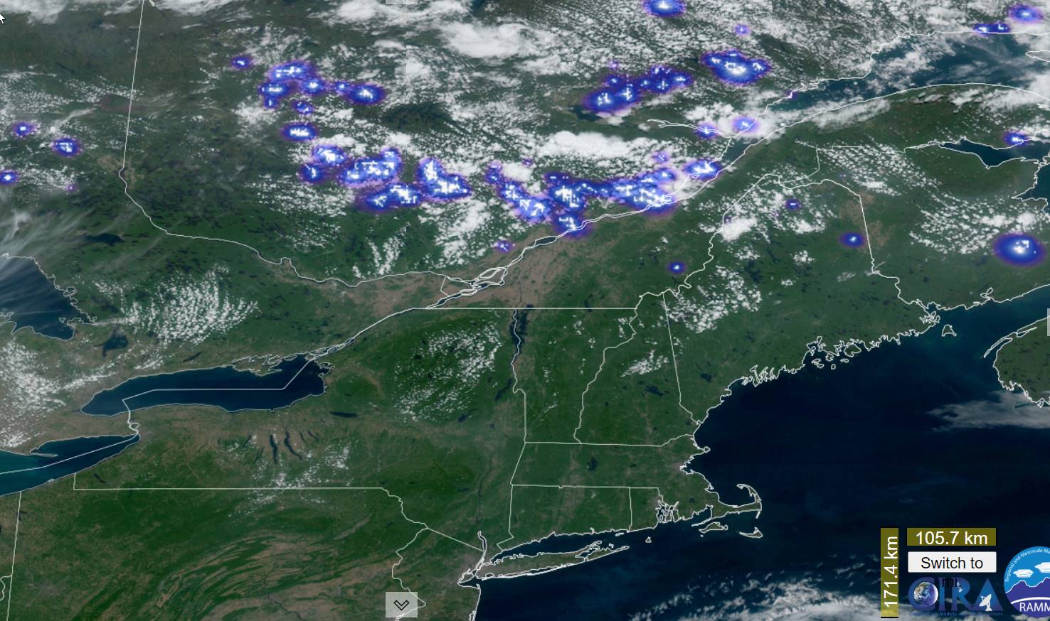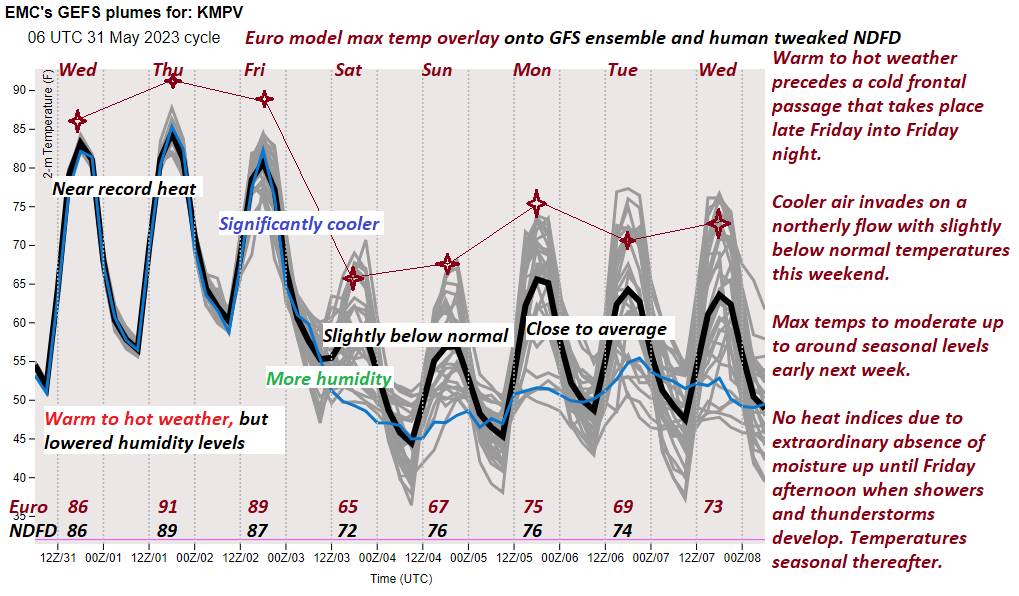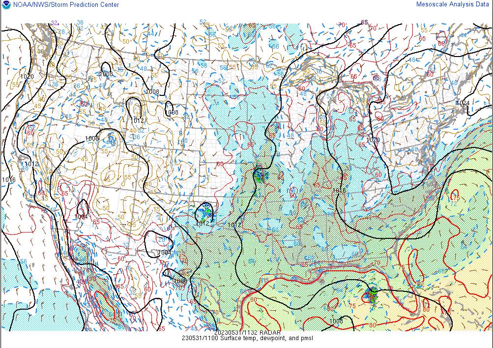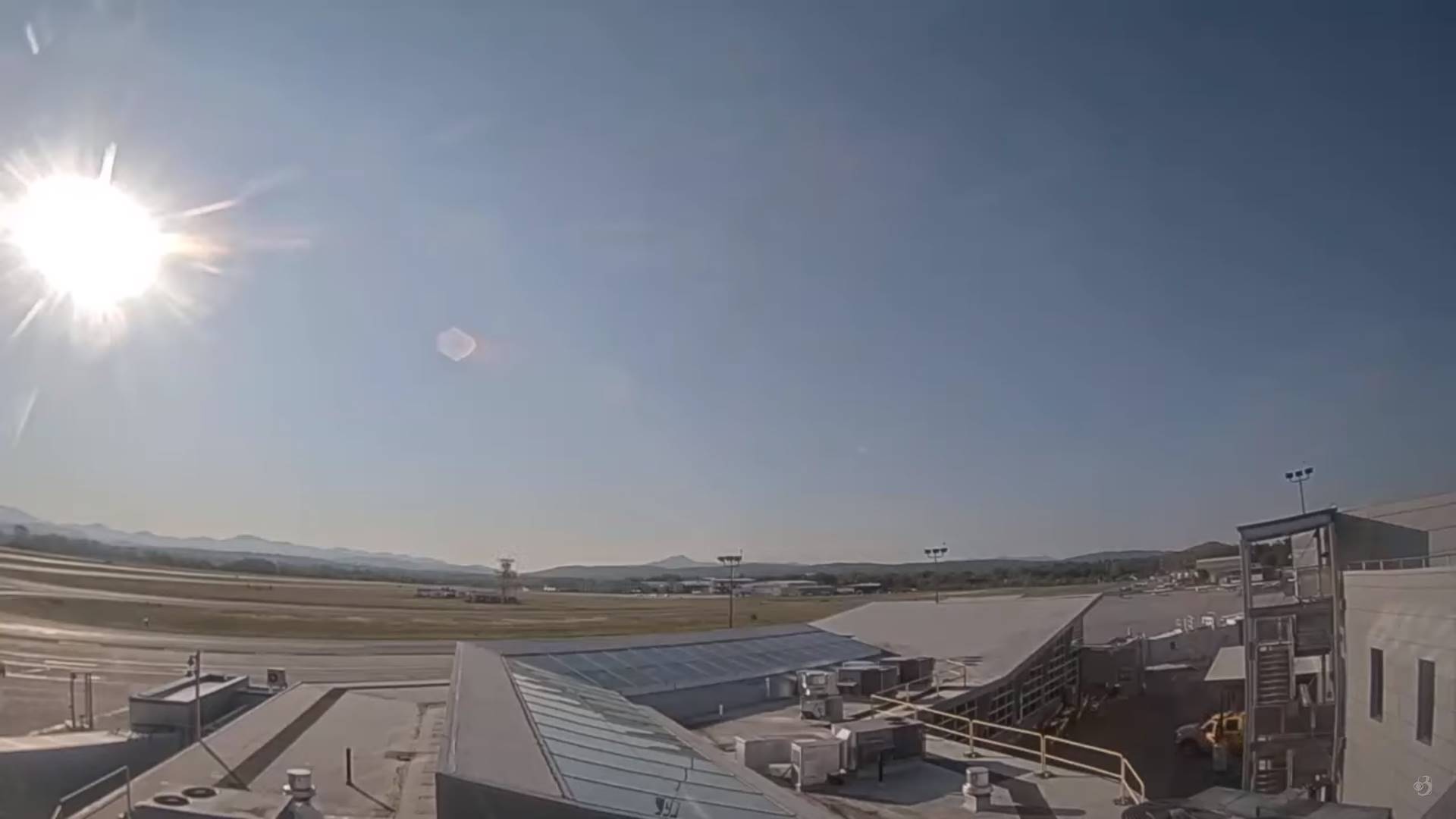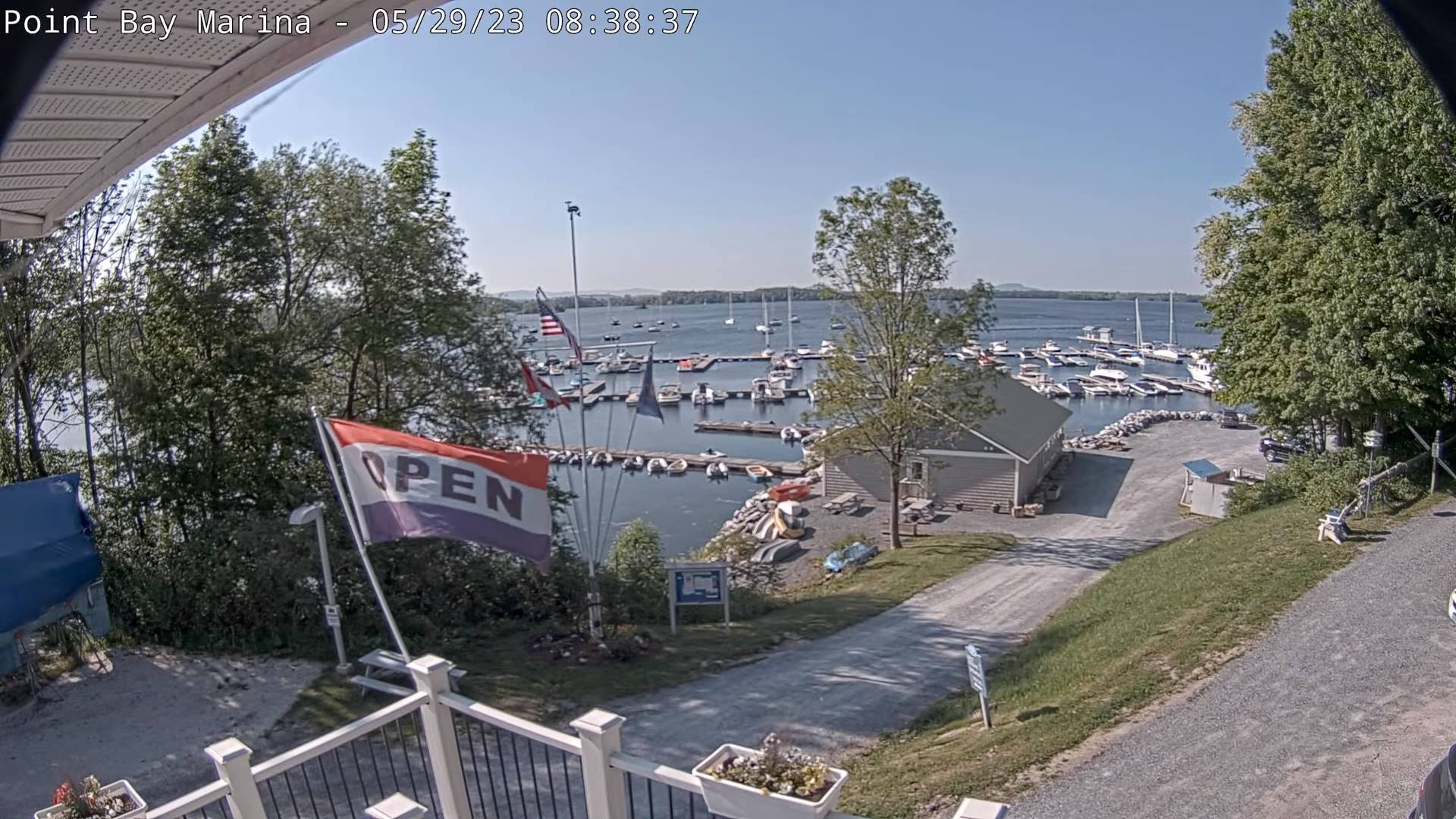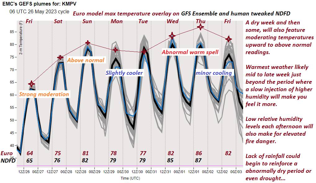
TONIGHT: Variable cloudiness. A few leftover evening showers and thunderstorms. A low 50 to 55. Northeast winds 10 mph.
TOMORROW: Clouds with a chance for morning showers especially toward Rutland. Otherwise periods of afternoon sunshine, but sharply cooler.A high in the mid to upper 60s. Northeast breeze 10 to 15 mph.
Full strawberry Moon 11:42 PM Saturday…
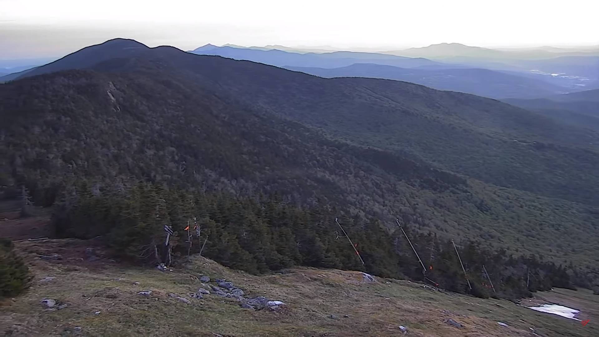
SATURDAY NIGHT: Becoming mostly clear, “fully moonlit” & cool. A low 40 to 45. Light northeast winds.
SUNDAY: Morning sun then lots of clouds. A high in the mid-60s. North winds 10 to 20 mph.
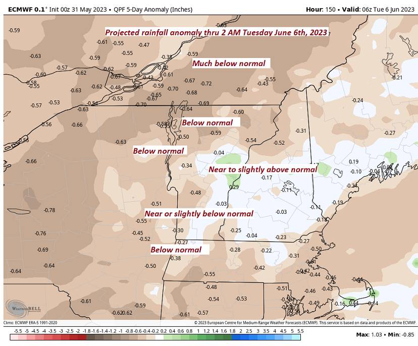
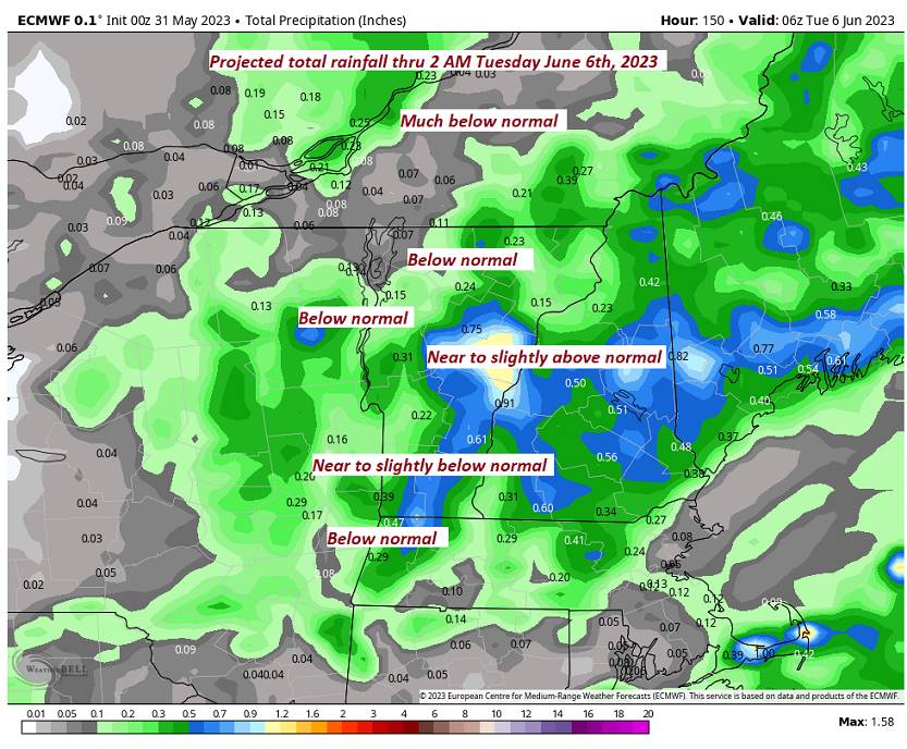
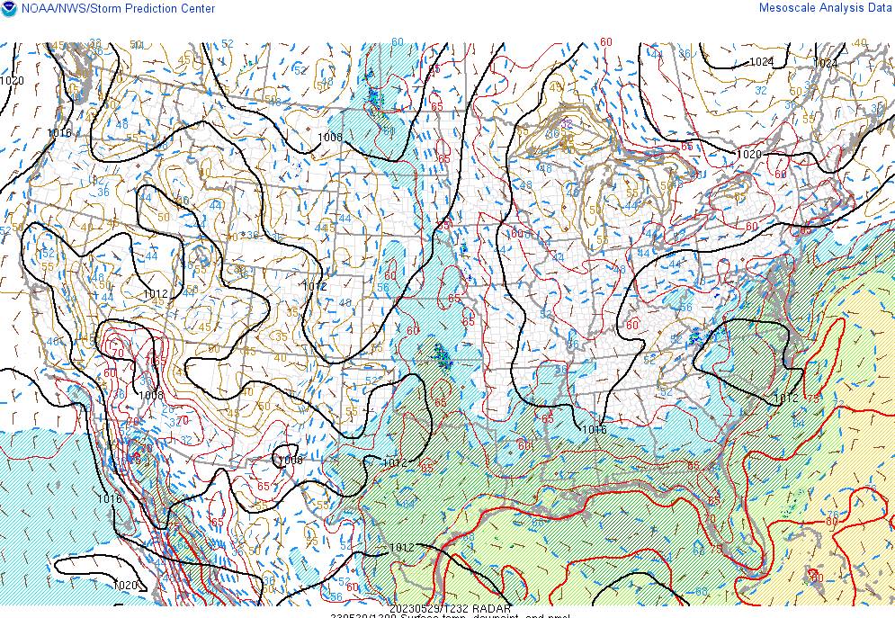
Looking further ahead
SUNDAY NIGHT: Scattered clouds and moonlit skies. A low in the 40s.
MONDAY: Thickening clouds leading to shower threat. A high upper 60s.
Approximate start of meteorological summer…
TUESDAY: Gray skies. Scattered showers with partial clearing developing later on. A low 45 to 50. A high in the low 60s.
WEDNESDAY: Lots of clouds northern areas. Partial afternoon sunshine southerly areas. A low mid to upper 40s. A high about the mid-60s.
Average lows ranging 45 to 50. Average highs 70 to 75
Start of Meteorological summer this next Tuesday June 6th Summer Solstice hits June 21st
RH/6-1 forecast][end]