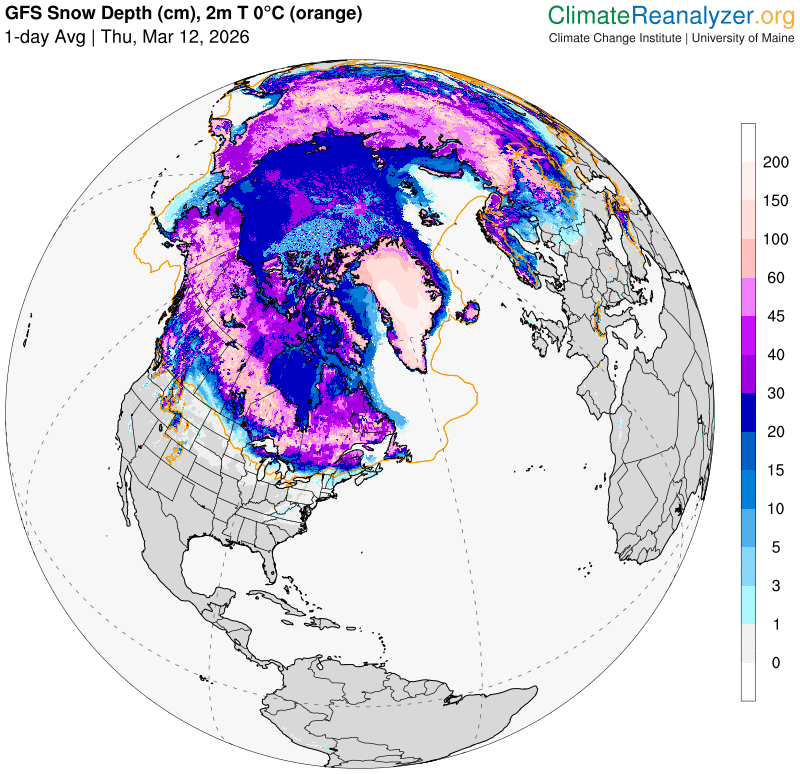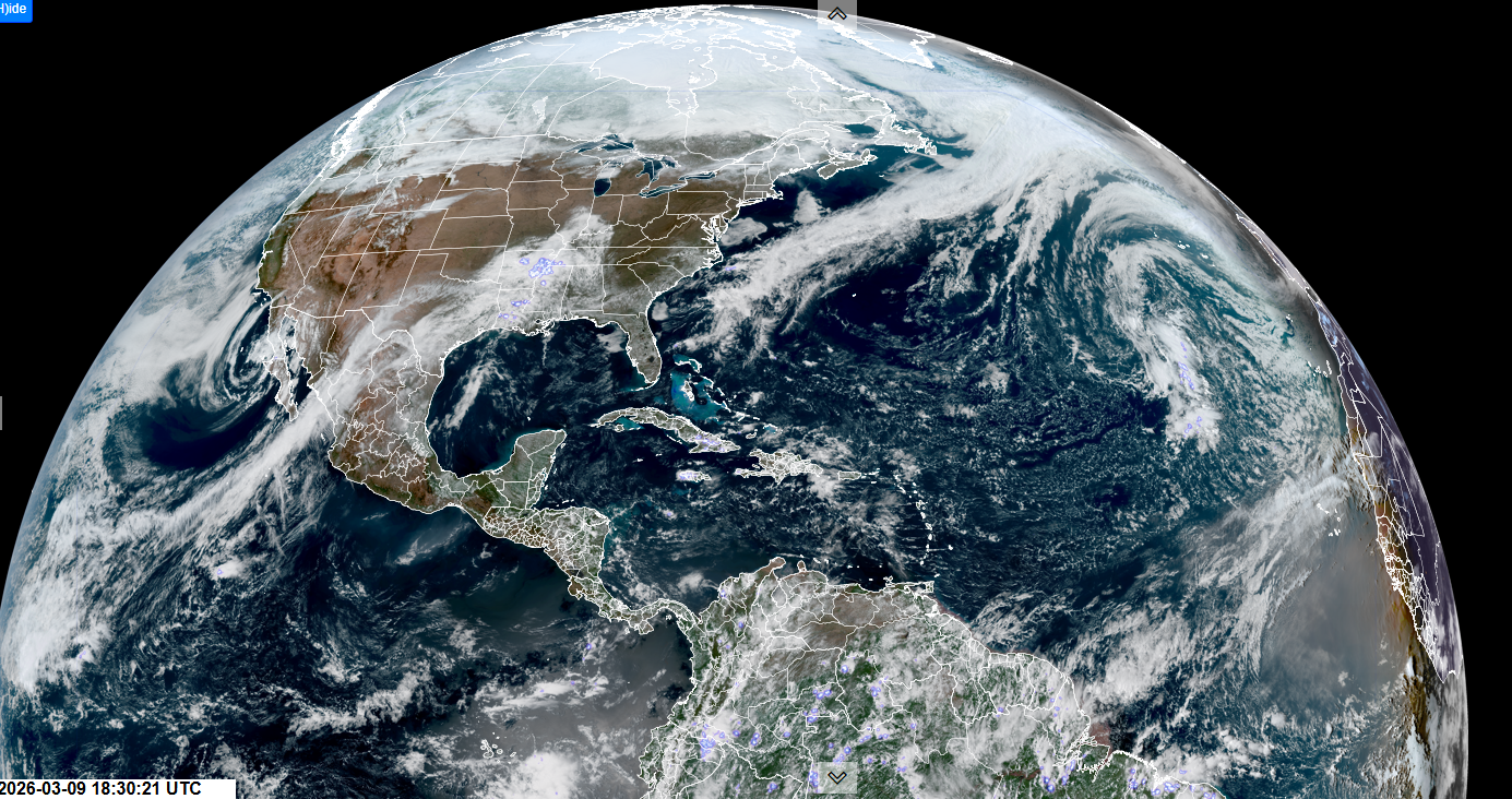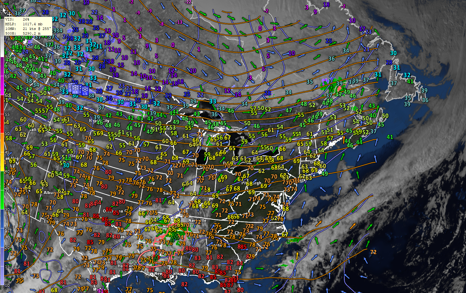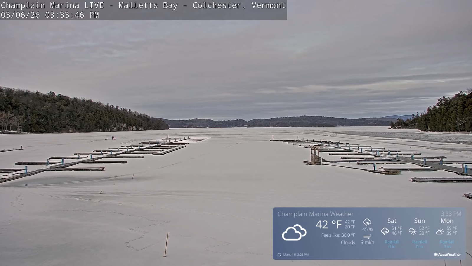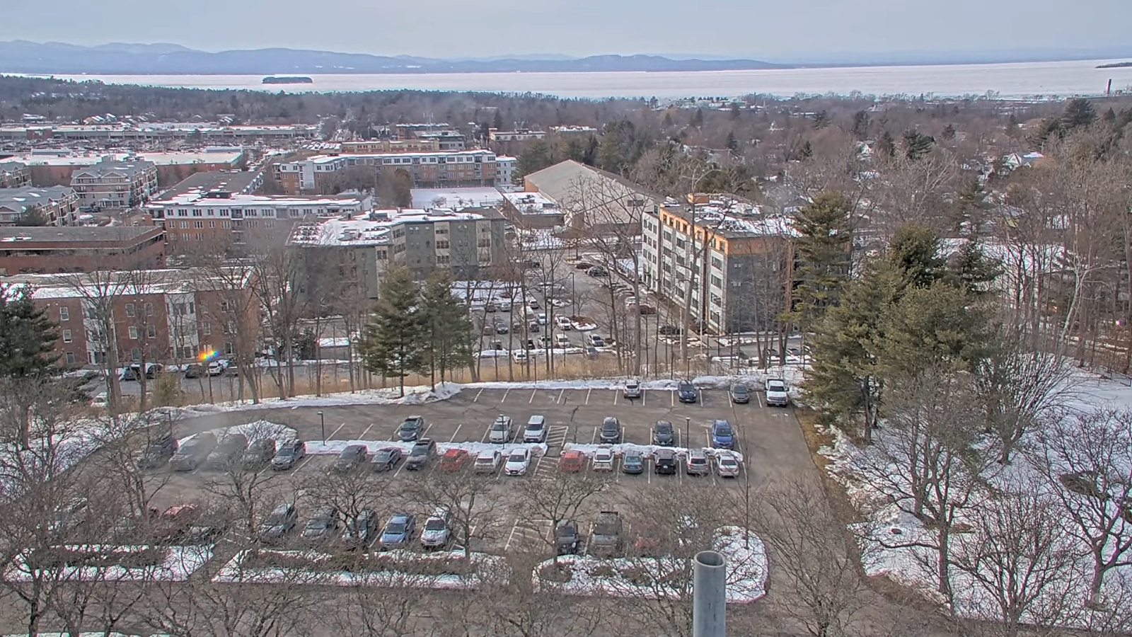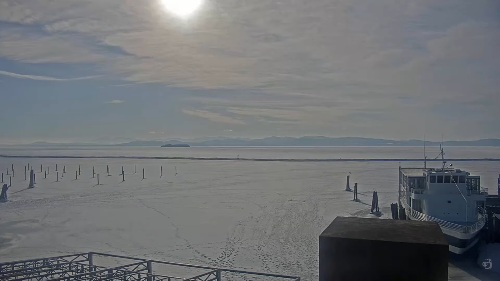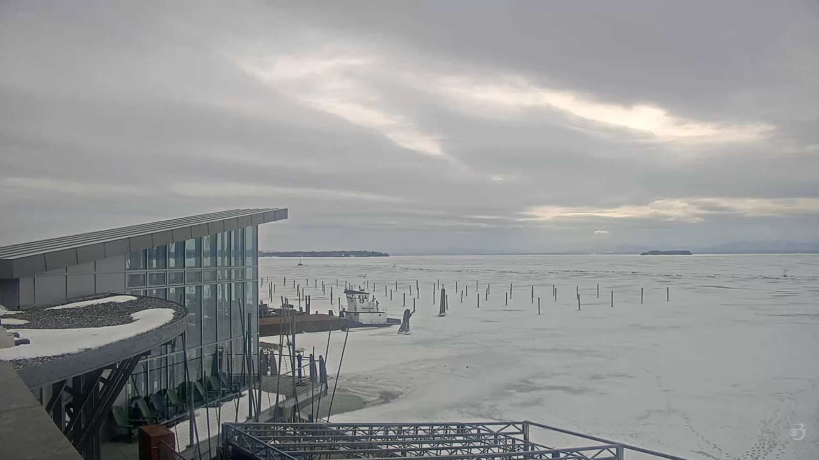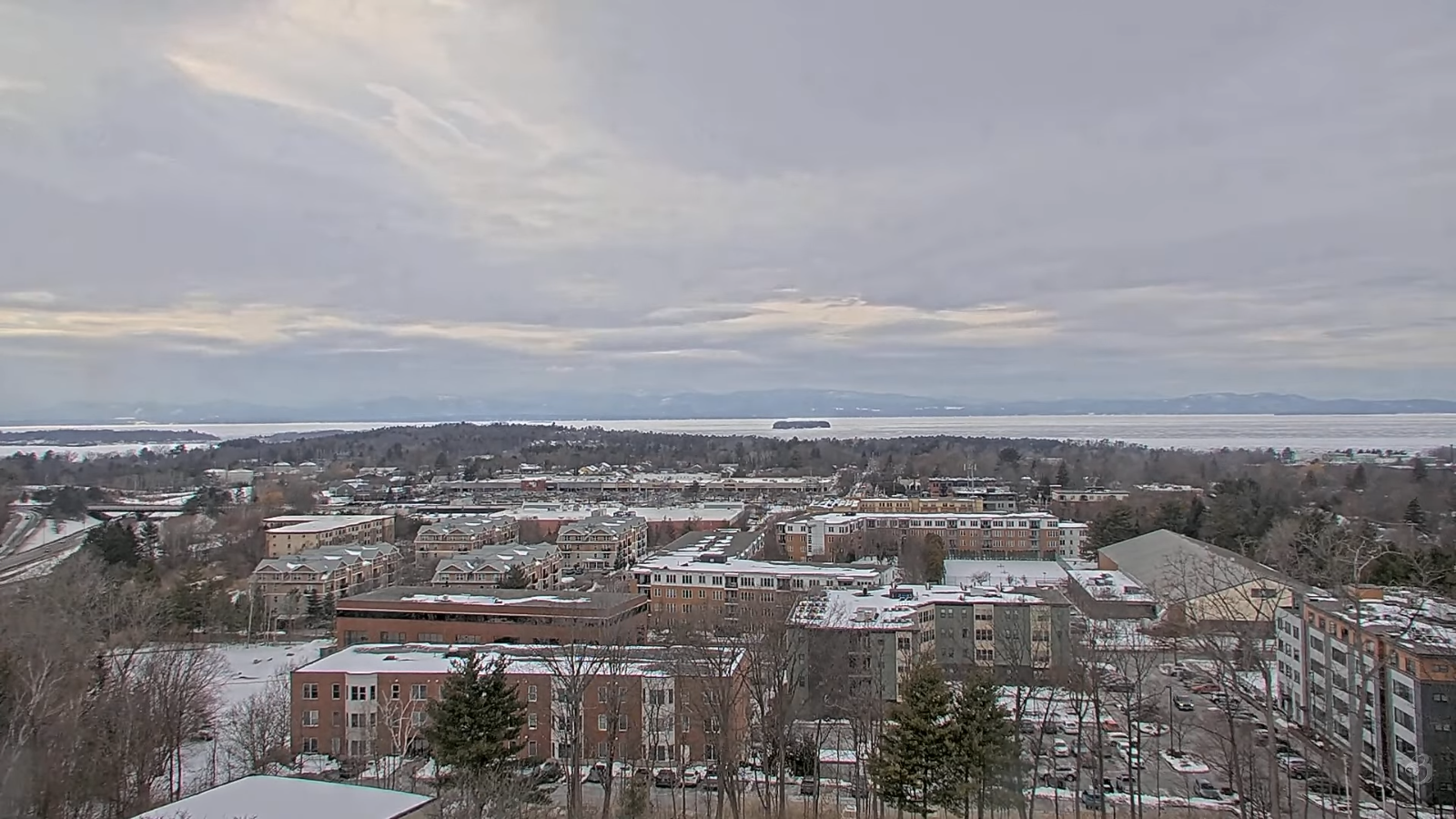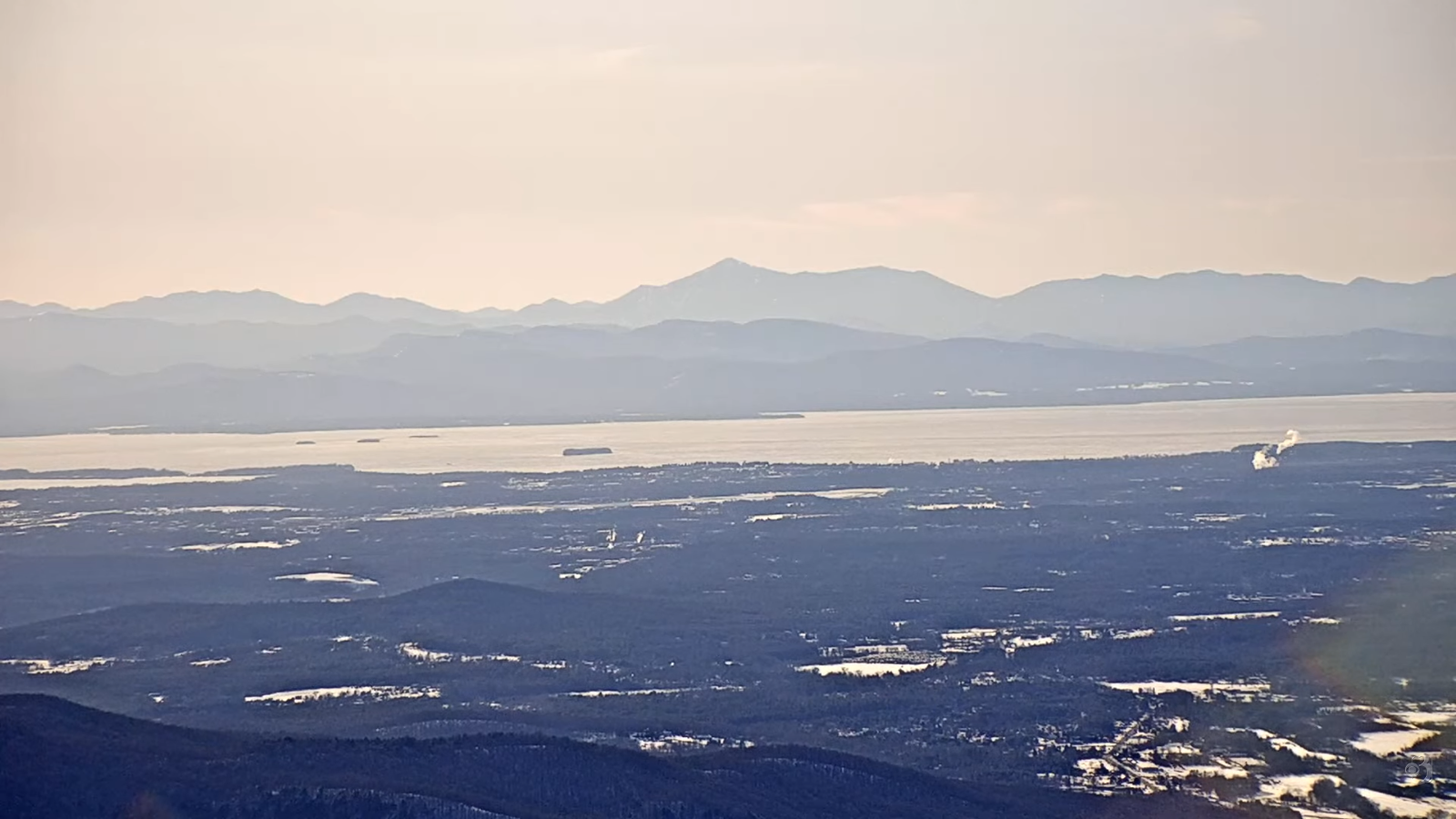
Roger Hill’s forecast 3:00 PM FRIDAY 3-13-26
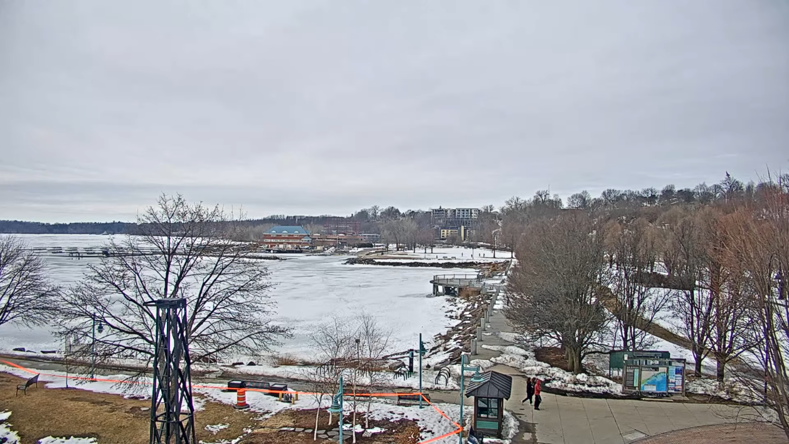
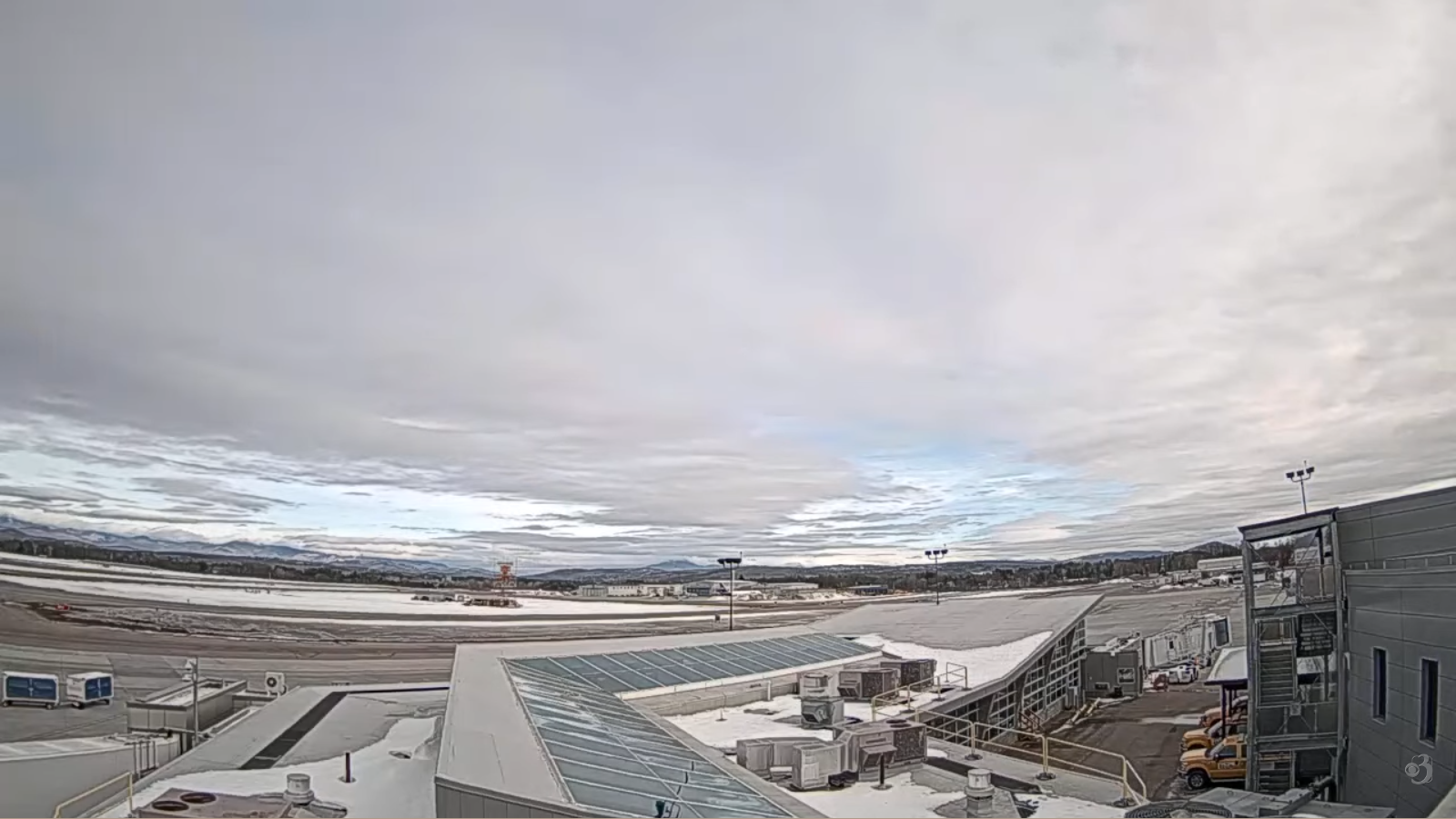
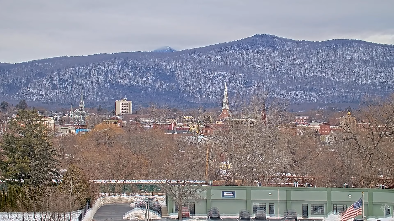
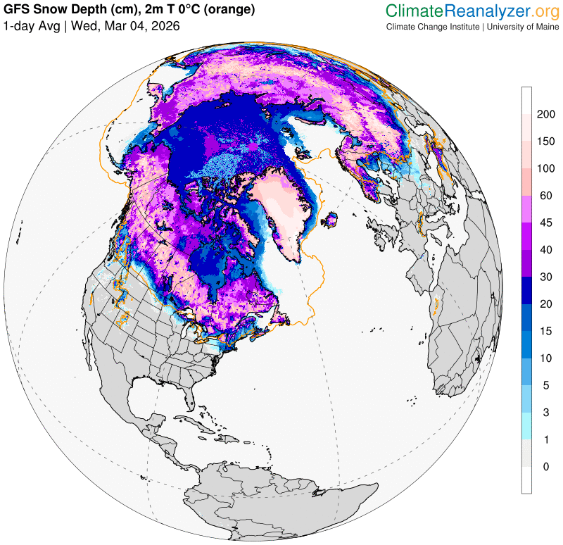
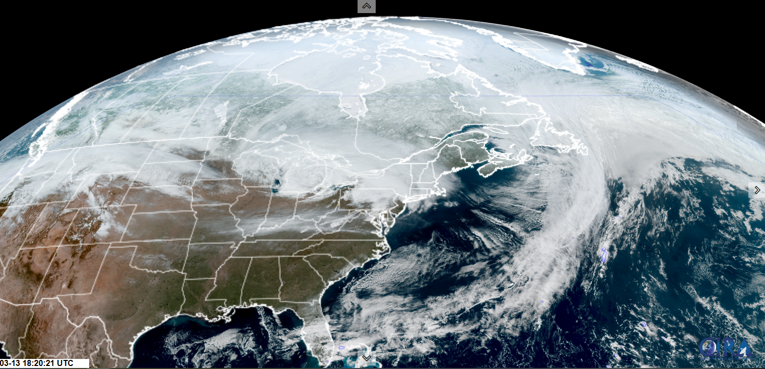
TONIGHT: Lots of clouds. Scattered lingering snow showers or flurries, a dusting to an inch. Lows 25 to 30. Southeast winds 10 to 15 mph.
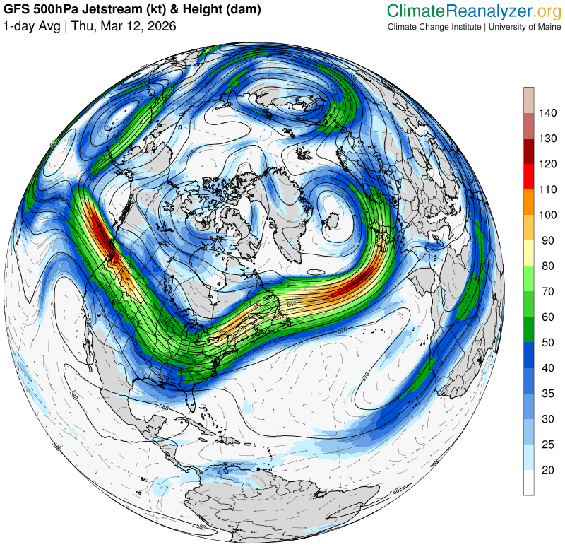
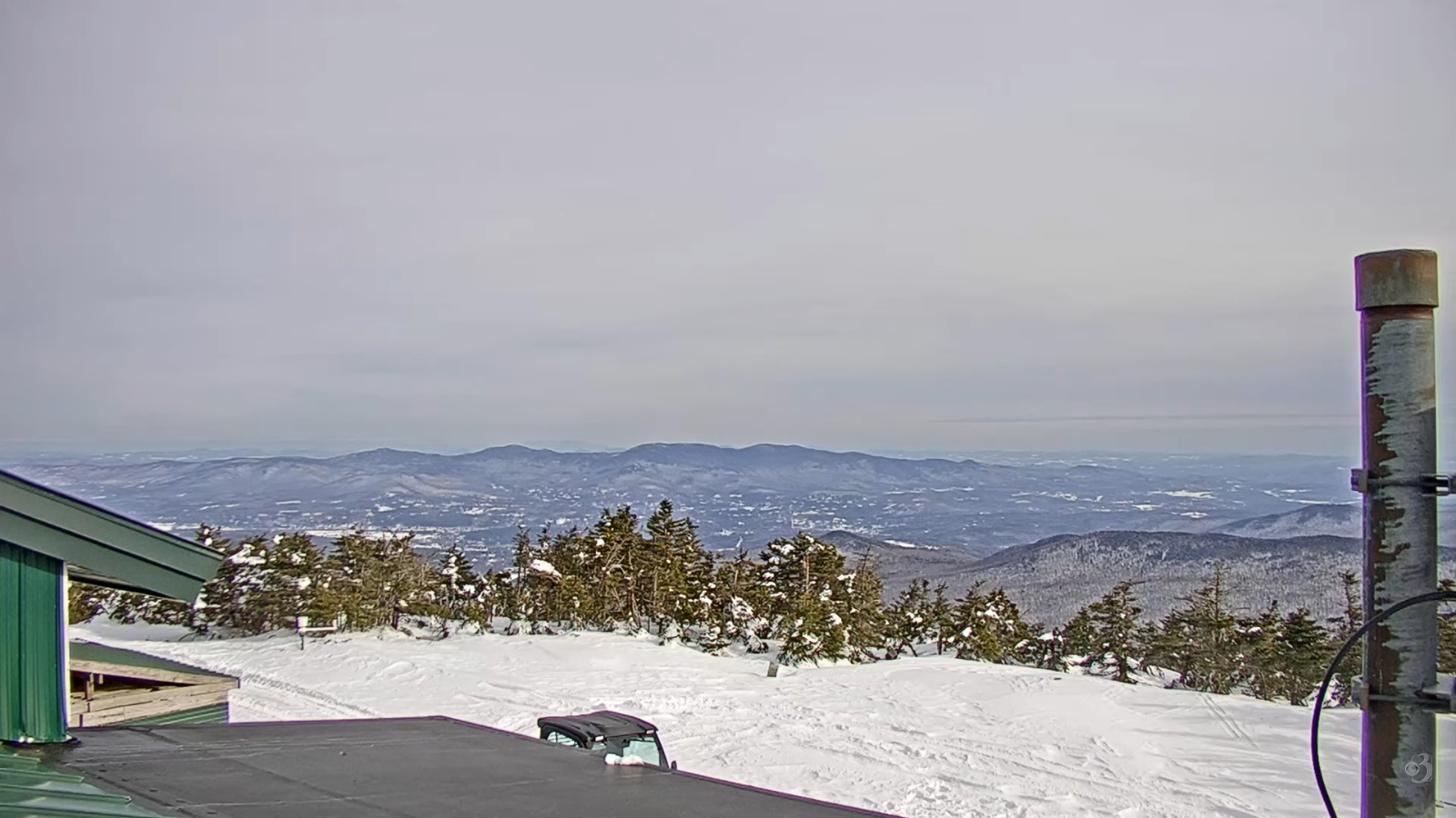
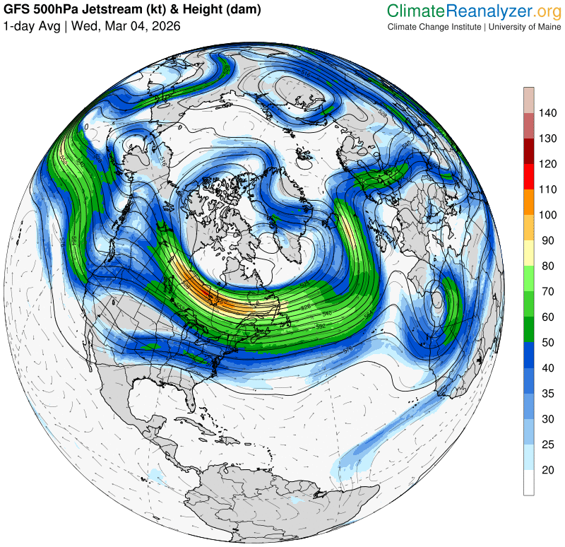
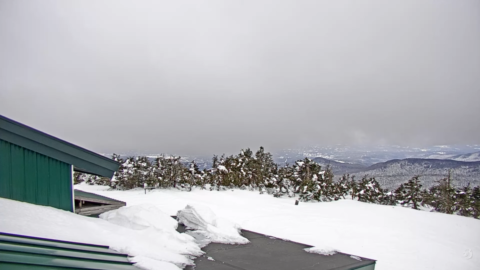
TOMORROW:Clouds with a break of sun, blustery & cold. Scattered snow showers or flurries. Dusting to an inch valleys…up to 4” Green Mountain summits. A high around 35. Southwest winds 10 mph shifting to northwesterly 10 to 25 mph with locally higher gusts.
SATURDAY NIGHT: Variably cloudy. Scattered evening flurries, a dusting drying up overnight. A low ranging 5 to 15. Light northwest winds.
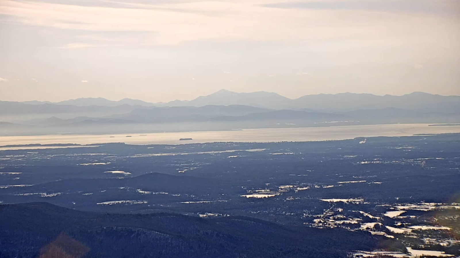
SUNDAY: Mainly gray. A few brief flurries northern areas late afternoon. Little accumulation. Highs 32 to 35. Light southeast winds in the afternoon.
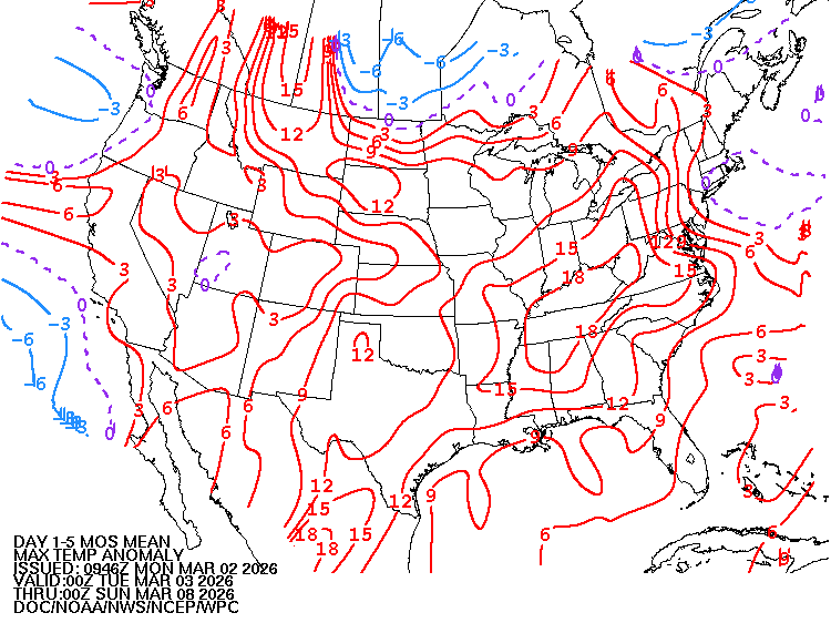
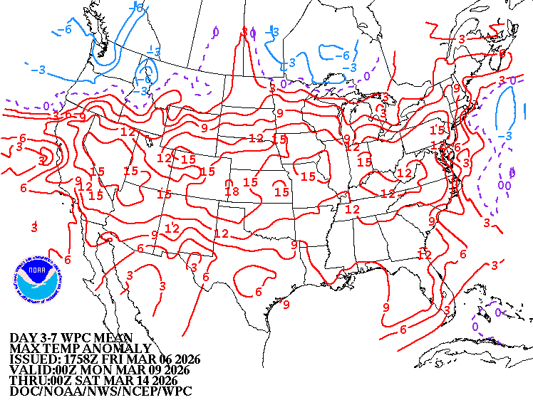
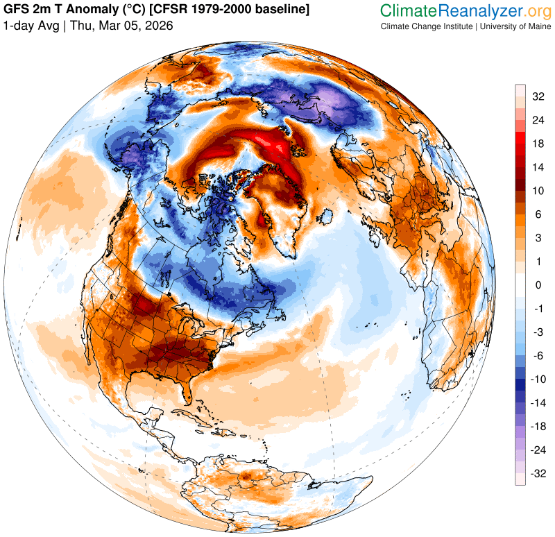
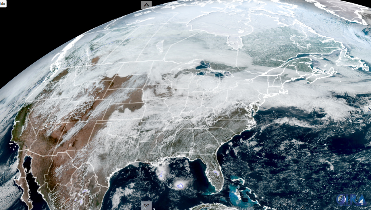
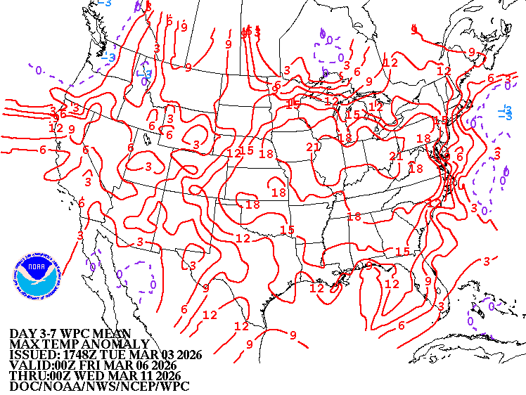
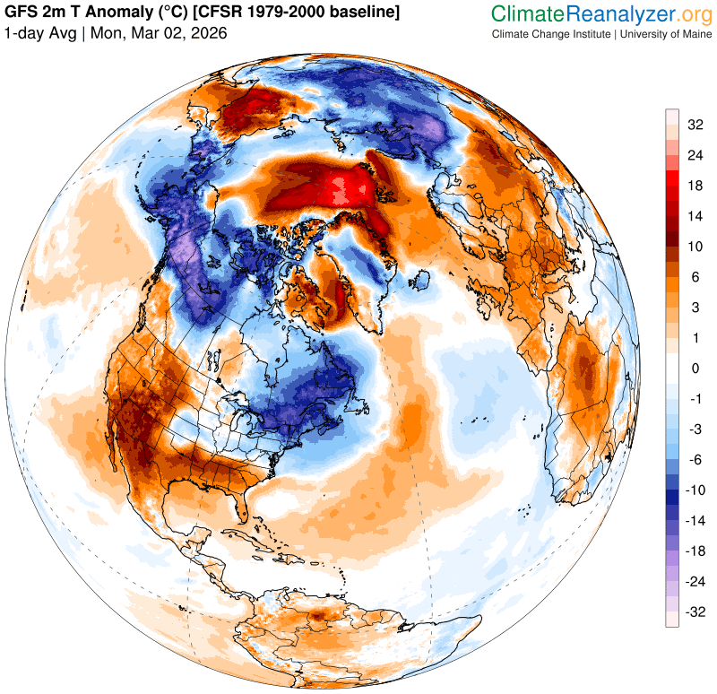
Looking further ahead
SUNDAY NIGHT: Partly cloudy in the evening overcast. Maybe a brief flurry or valley sprinkle.Lows upper 20s
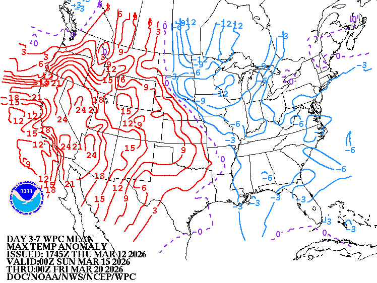
MONDAY: Cloudy. Chance for occasional rain showers, some moderate. Turning breezy and much milder. Late day highs 50 to 55. (Possible sap run)
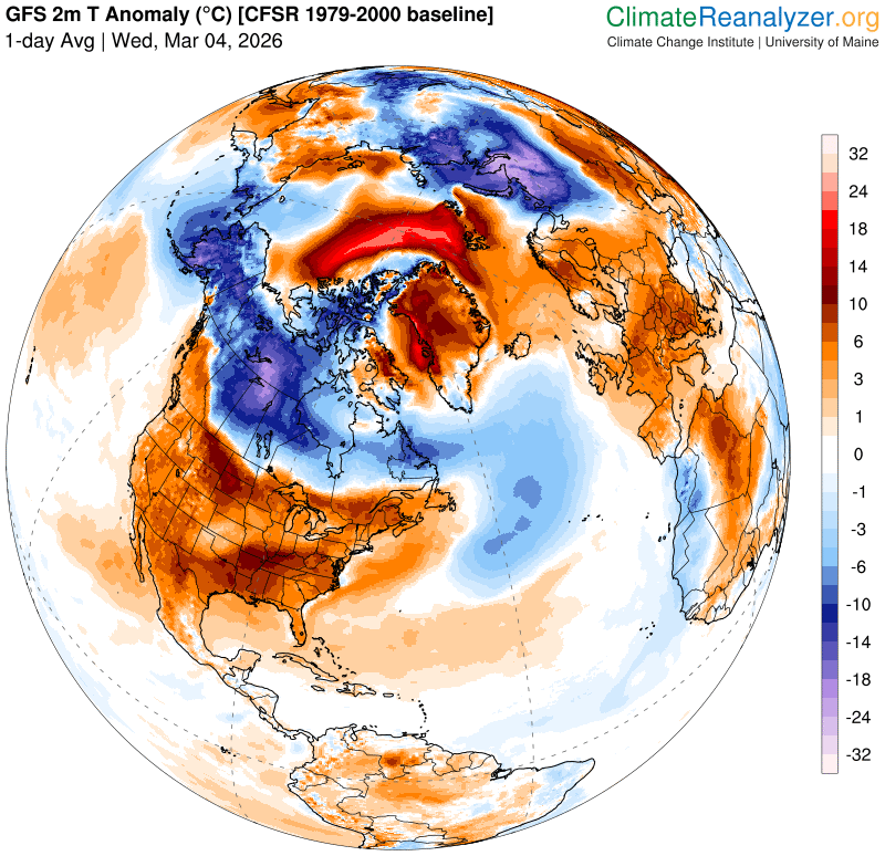
TUESDAY: More clouds than sun, blustery & cold. Widely scattered flurries. Lows upper 20s around 30. Blustery and colder. Highs just near 30.
WEDNESDAY: Partly to mostly sunny. Lows 5 to 15. Highs just 25 to 30 more like mid-winter…
Average low: teens to low 20s. Average high mid-30s to low 40s.
Vernal Equinox March 20th 10:46 AM
Admin: no forecasts Monday 3-16 until Thursday 3-26 back
RH/3-13/forecast][end] Fox Trot Delta Tango