
Roger Hill’s forecast 3:00 PM TUESDAY 4-7-26
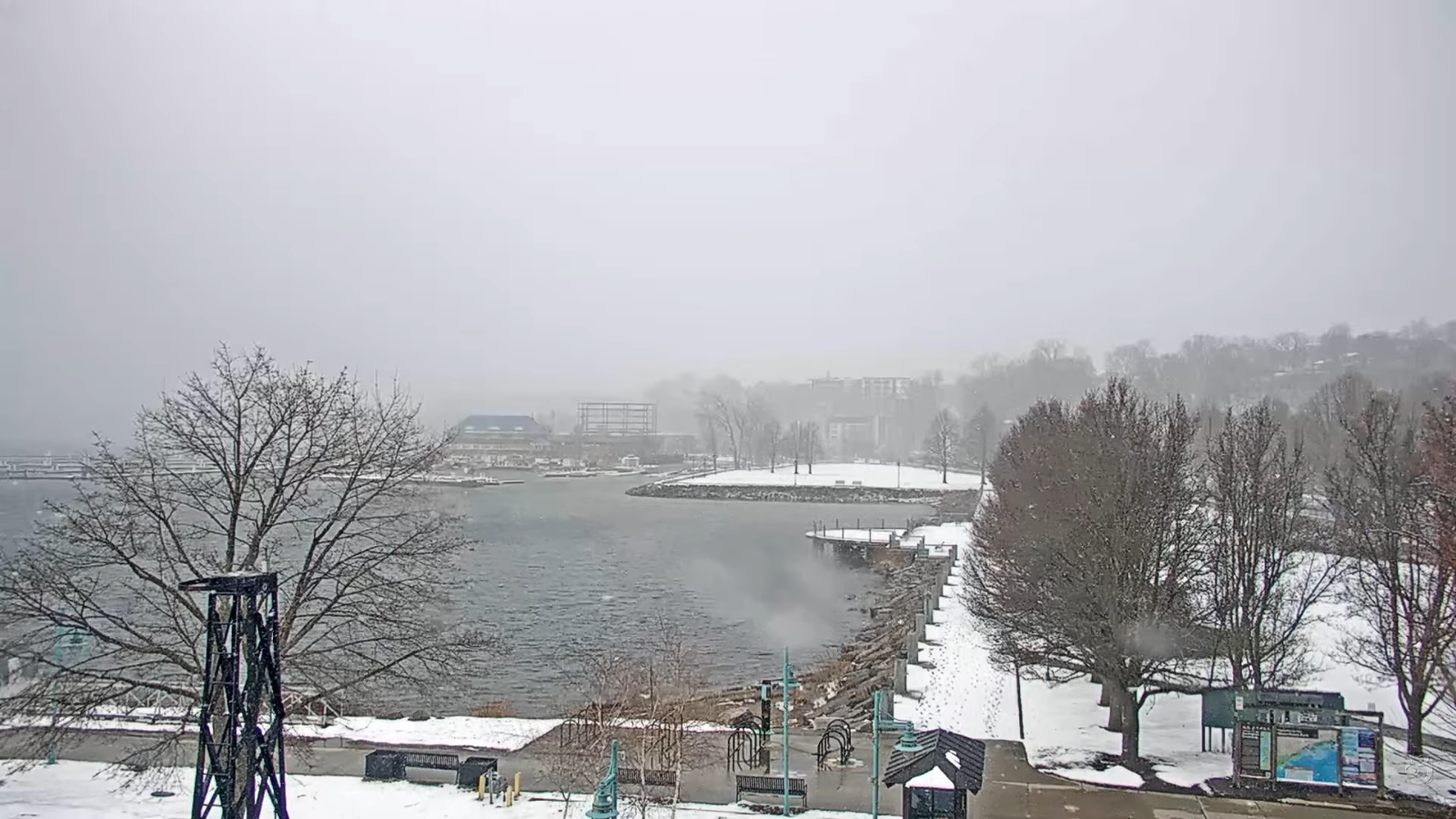
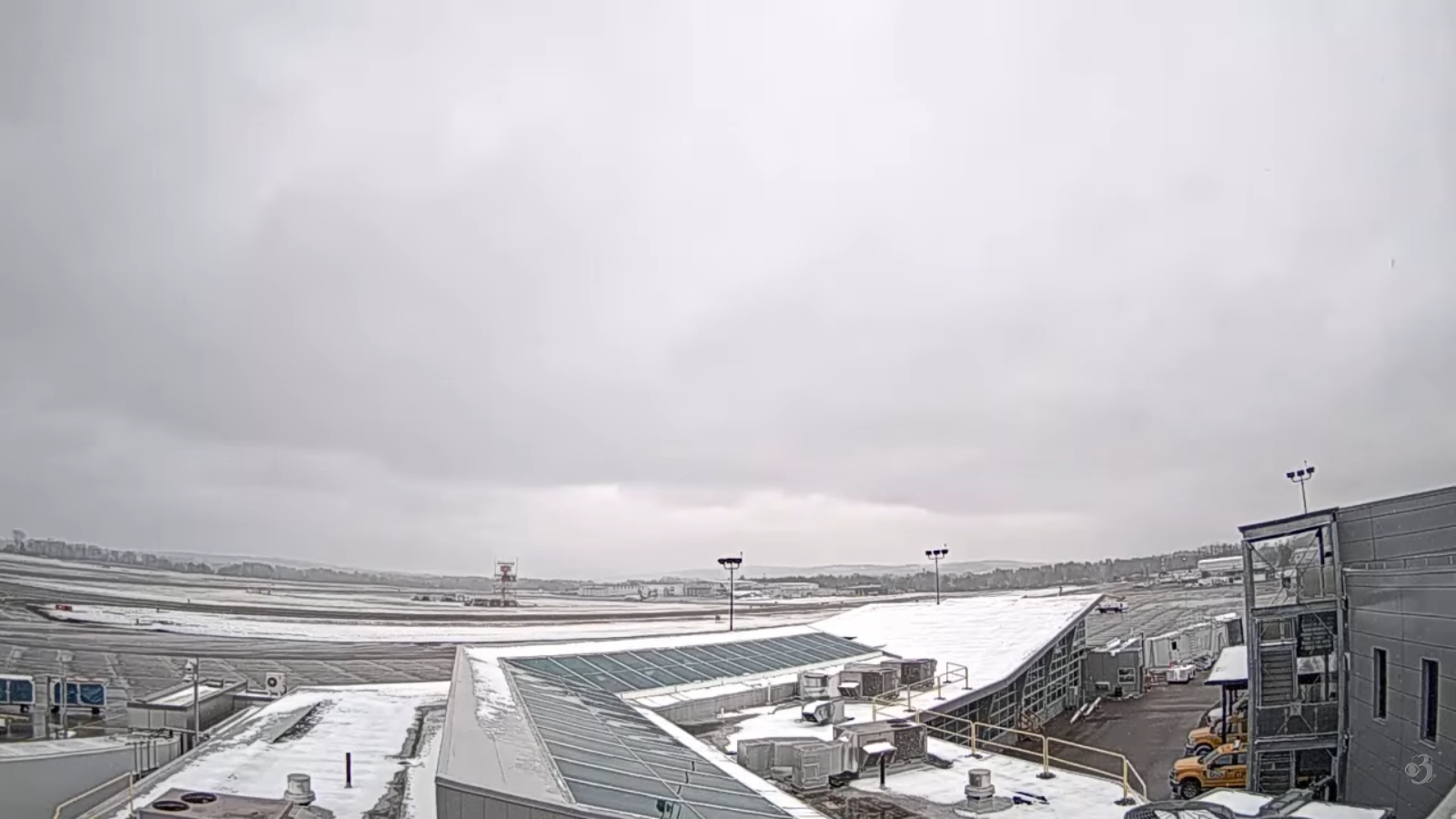
TONIGHT: Early evening clouds with a stray flurry, then clearingand partially moonlit. Lows in the low to mid-teens. Northwest winds 10 mph early…then falling off.
TOMORROW: Sunny & gorgeous but cool. A high 40 to 45 start of a warming trend. Light southwest winds.
WEDNESDAY NIGHT: Mostly clear with a few high clouds. A low around 25. Little wind.
THURSDAY: Sunny with high clouds passing thru. A high near 55. South winds 10 mph, stronger near the lake.
Looking further ahead
THURSDAY NIGHT: Becoming partly cloudy. A rising chance for a few rain showers mixed with wet snow flakes northern areas. Lows 30s.
FRIDAY: Maybe some early sun, then gray. Chance for rain…moderate at times. Highs 50s north/60s south.
SATURDAY: Lingering cloudiness northern areas periods of sun southern areas. Lows upper 20s to mid-30s. Highs mid-40s.
SUNDAY: Mostly sunny with highs cloudiness developing late. Lows mid-20s to low 30s. Highs near 55.
Average low: mid-20s to low 30s Average high 50 to 55.
RH/4-7/forecast][end] Fox Trot Delta Tango
