
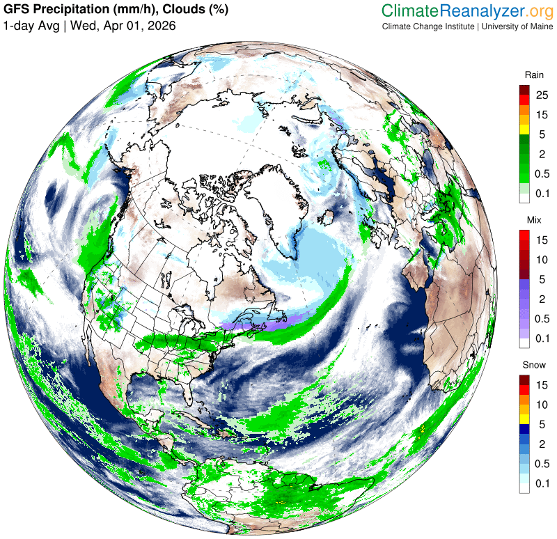
Roger Hill’s forecast 3:00 PM WEDNESDAY 4-1-26
Full “Pink Moon” 10:12 PM
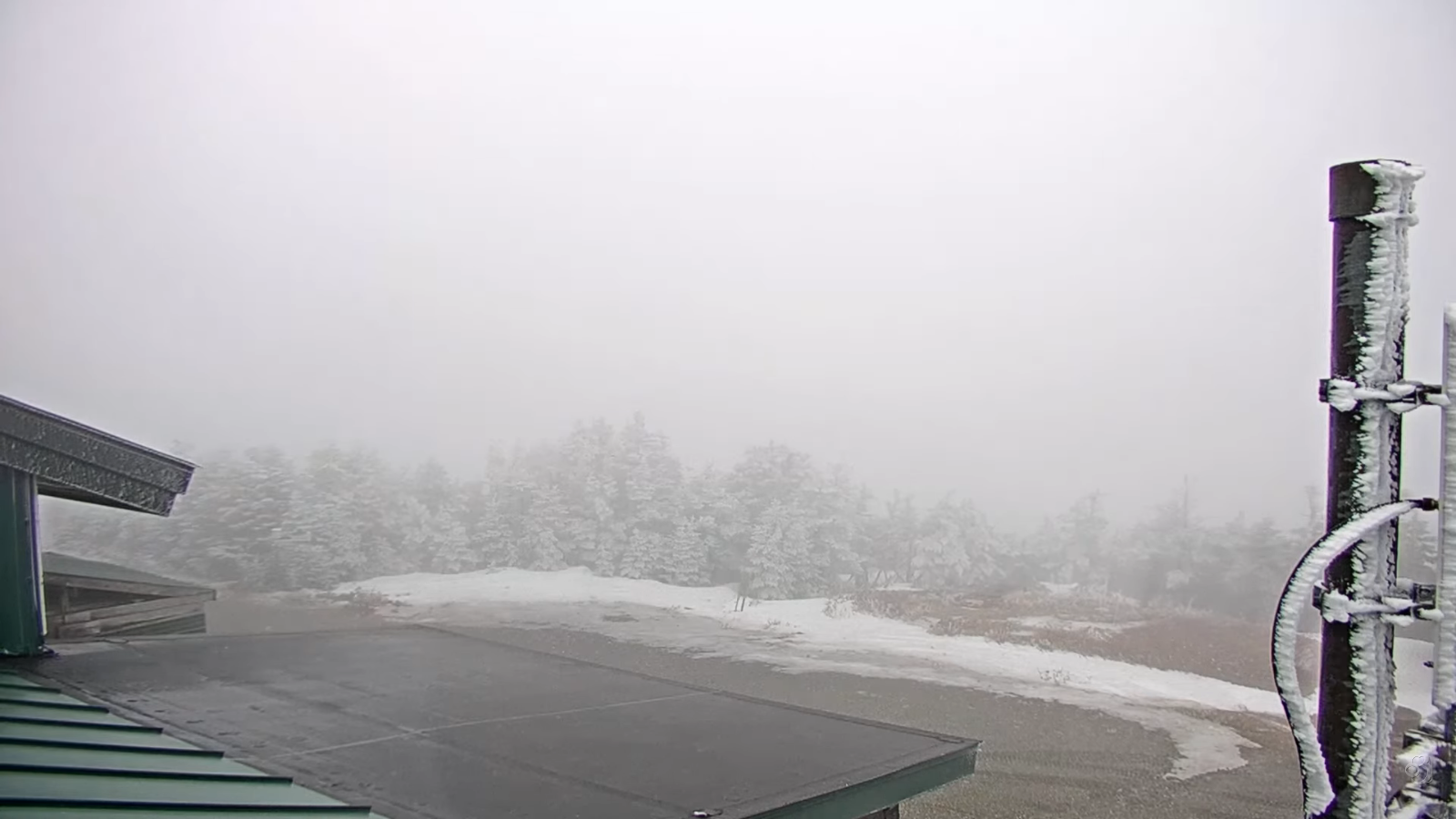
TONIGHT: Lots of clouds. Good chance for rain showers mixed with wet snowflakes southern Vermont mainly dry elsewhere. A low upper 20s around 30. Light northeast winds.
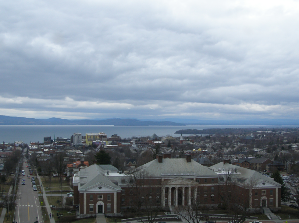
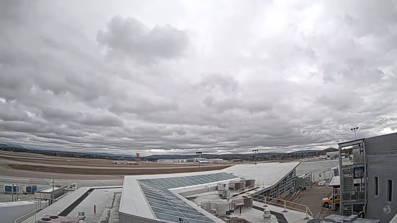
TOMORROW:Becoming mostly cloudy. A few late afternoon rain showers arriving.A high 45 to 50. Light southeast winds.
THURSDAY NIGHT: Mostly cloudy.Good chance for showers with pockets of freezing rain east of the Greens with slick travel. A low 32 to 35. Southeast winds 10 to 15 mph.
FRIDAY: Rain showers likely, with pockets of freezing rain with slick travel early.Intervals of sun mixed in. Scattered rain showers redevelop late. Breezy and milder. A high reaching near 65. South to southwest winds 10 to 20 mph.
Looking further ahead
FRIDAY NIGHT: Partly to mostly cloudy. Scattered rain showers exiting. Lows 35 to 45.
SATURDAY: Clouds with intervals of afternoon sun. Maybe a rain shower late. Highs 50s.
SUNDAY: Gray with some late day sunny breaks. Chance for a round of moderate to heavy showers, a risk of thunder. Lows 30s. Breezy to windy with highs 50s.
MONDAY: Cloudy. Chance for light accumulating snow showers, up to 2” northern mountains. Temperatures holding in the 30s.
Average low: in the 20s. Average high mid-40s to around 50.
RH/4-1/forecast][end] Fox Trot Delta Tango
