

Roger Hill’s forecast 3:00 PM TUESDAY 3-10-26
Flood Watch thru Thursday afternoon…
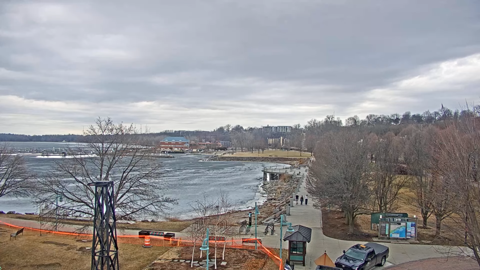
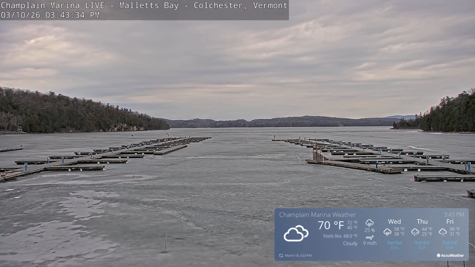
TONIGHT: Clouding up.Occasional rain showers developing gradually, mixing with pockets of freezing rain around daybreak…with slick travel northern areas. A low 32 to 35. Light north winds, stronger near Lake Champlain.
TOMORROW:Gray.Rain showers with brief pockets of freezing rain possibly affecting travel far north early…otherwise rain showers some moderate.A high in the low 40s. Southeast winds pick up 10 to 15 mph.
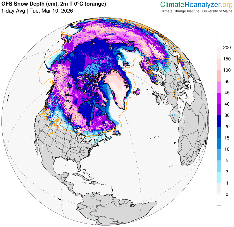
WEDNESDAY NIGHT: Cloudy with areas of fog.. Rain showers likely moderate at times. Turning blustery late. An evening low 35 to 40. West winds pick up overnight 10 to 25 mph and gusty.
THURSDAY: A few flurries in the morning and again late. Intervals of afternoon sun. An early high temperature in the mid-30s. Westerly winds 10 to 25 mph & gusty.
Looking further ahead
THURSDAY NIGHT: Partly to mostly cloudy.Chance for a stray flurry.Low upper teens to mid-20s.
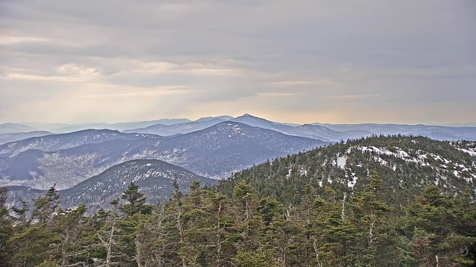
FRIDAY: Considerable cloudiness. Rising chance for light snow showers late afternoon. Light coatings mainly higher terrain. Highs 30s.
SATURDAY: Mostly cloudy & trending back to winter. Scattered snow showers or flurries. Minor accumulation. Lows 20s. Highs only near 32.
SUNDAY: Clouding up after morning sun. Rising chance for snow showers in the afternoon. Minor coatings. Lows 5 to 15. Highs low 30s.
Average low: teens to low 20s. Average high mid-30s to low 40s.
Vernal Equinox March 20th 10:46 AM
Admin: no forecasts Monday 3-16 until Thursday 3-26 back
RH/3-9/forecast][end] Fox Trot Delta Tango
