
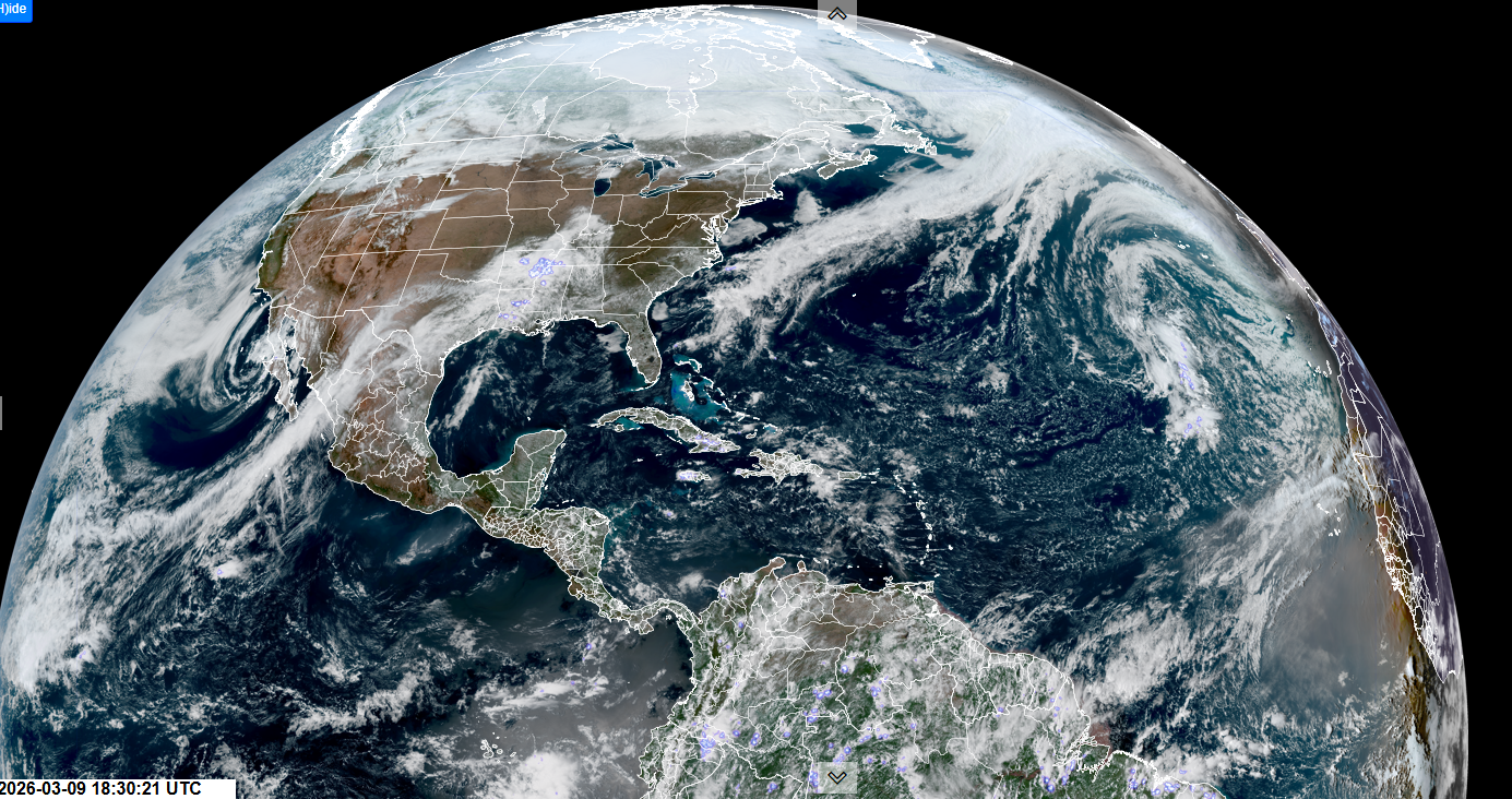
Roger Hill’s forecast 3:00 PM MONDAY 3-9-26
Flood Watch thru Thursday afternoon…
TONIGHT: Mostly clear. A low in the 30s. Southwest winds 10 mph this evening then lighter.
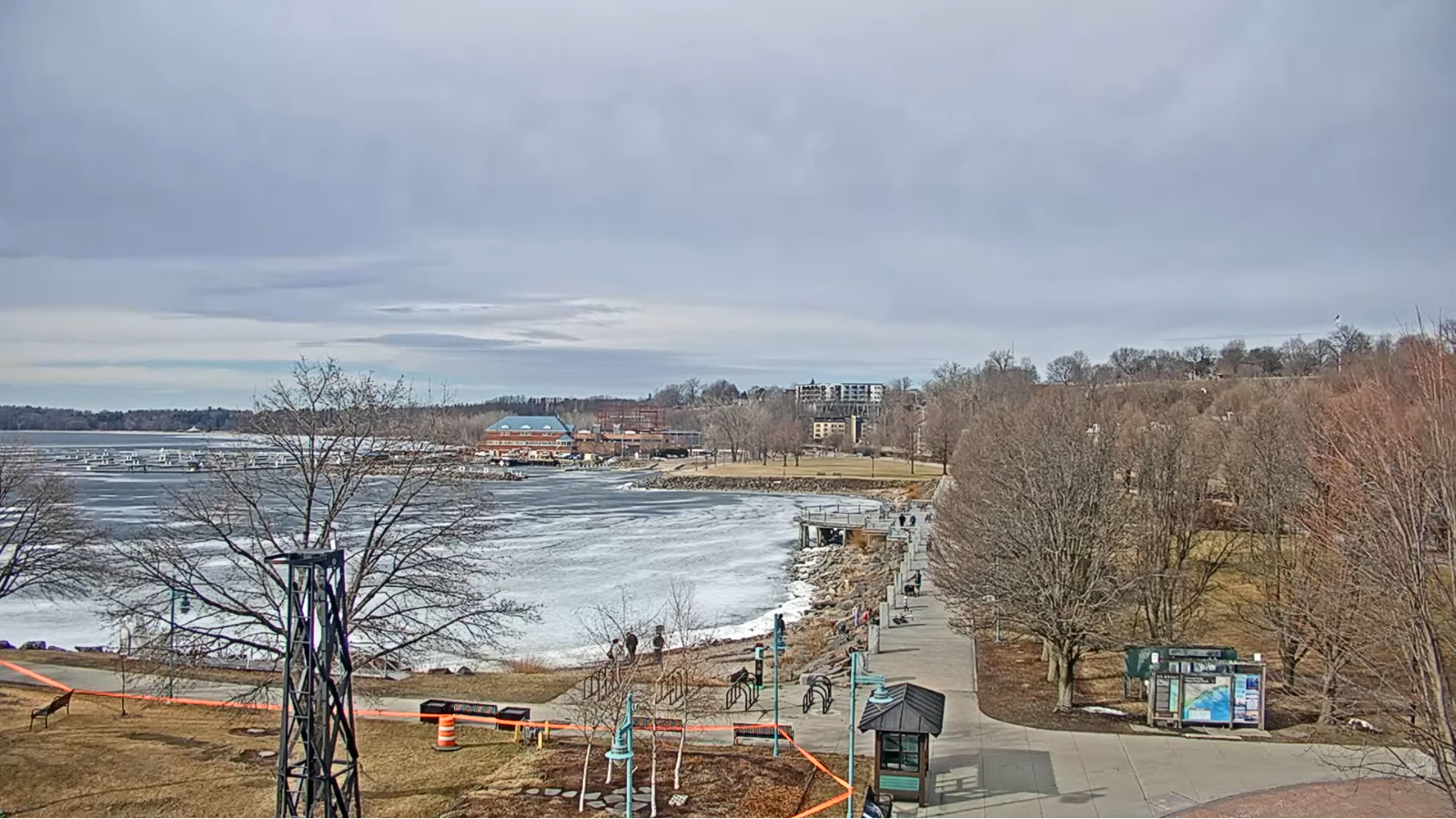
TOMORROW:Morning sun, then increasing clouds.A high in the lower 60s. Light southwest winds. (Possible sap run)

TUESDAY NIGHT: Overcast.Occasional rain showers becoming likely. A low mid to upper 30s. Light north winds stronger near Lake Champlain.
WEDNESDAY: Gray.Rain showers likely, with a risk of spotty freezing rain briefly affecting travel in the morning.A high in the low 40s. Southeast winds 10 to 15 mph.
Looking further ahead
WEDNESDAY NIGHT: Cloudy. Good chance for rain showers…possibly moderate. A low mid to upper 30s.
THURSDAY: Chance for sprinkles mixing with wet snow flakes early before exiting. A few intervals of afternoon sun. Highs in the 30s.
FRIDAY: Considerable cloudiness. Rising chance for late day flurries or light snow showers. Morning low in the teens. Highs 30s.
SATURDAY: Mostly cloudy. Scattered snow showers or flurries. Minor accumulation. Lops upper 20s to low 30s. Highs around 35.
Average low: teens to low 20s. Average high mid-30s to low 40s.
Vernal Equinox March 20th 10:46 AM
Admin: no forecasts Monday 3-16 until Thursday 3-26 back
RH/3-9/forecast][end] Fox Trot Delta Tango
