
Roger Hill’s forecast 3:00 PM FRIDAY 3-6-26
Winter Weather Advisory Washington Orange Counties north tonight…
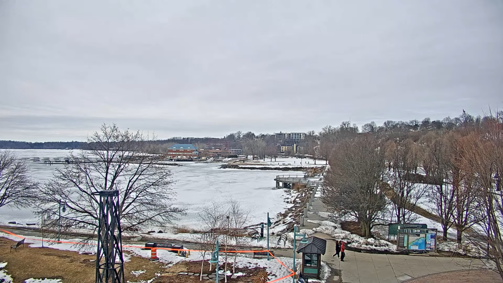
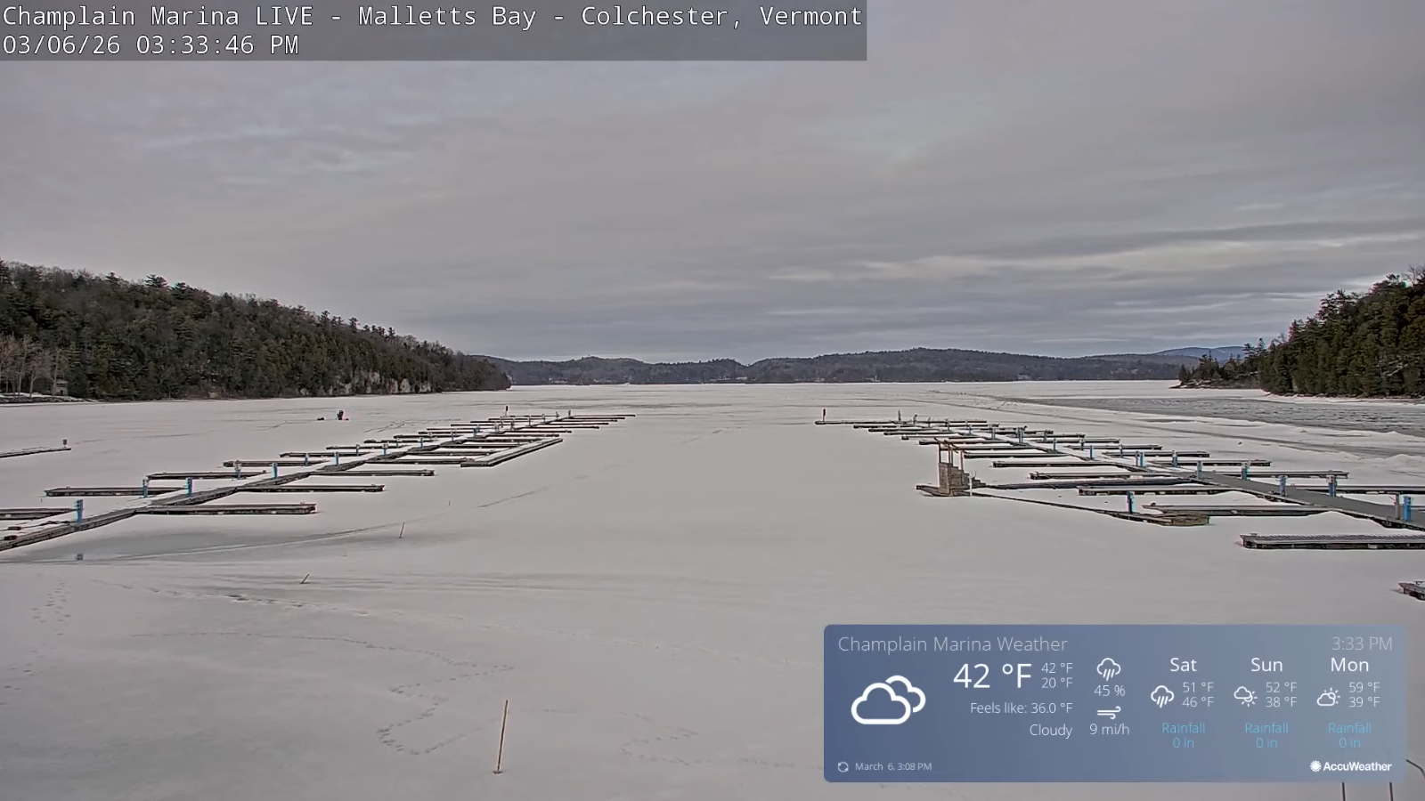
TONIGHT: Cloudy. Periods of light rain & pockets of freezing rain and slick travel east of the Green Mountains later overnight. Areas of dense fog A low around 30. South to southeast winds 10 to 15 mph, stronger near the lake.
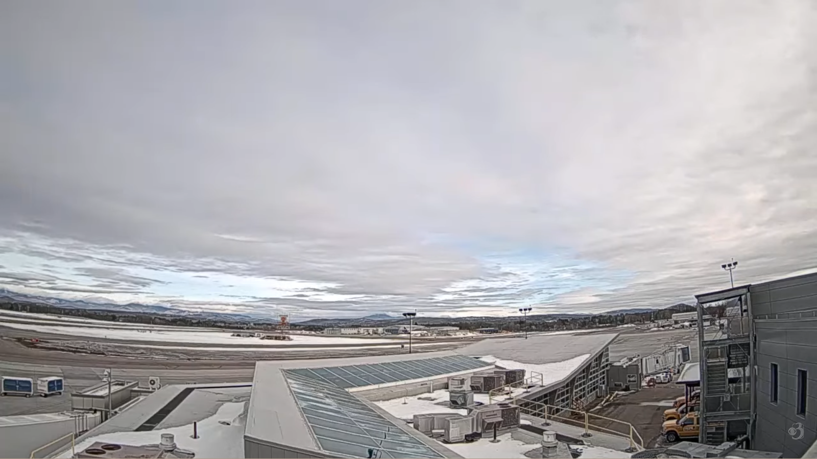
TOMORROW:Any freezing rain with slick travel ends as a few sprinkles. Otherwise clouds with some late intervals of sun & milder. Breezy. A high 50 to 55 with lots of snow melt. South winds 10 to 15 mph stronger near the lake. (Possible sap run)
SATURDAY NIGHT: Overcast and milder, with areas of dense fog. Rain showers likely…briefly moderate. Lows around 40 with snow melt. South winds 10 to 15 mph
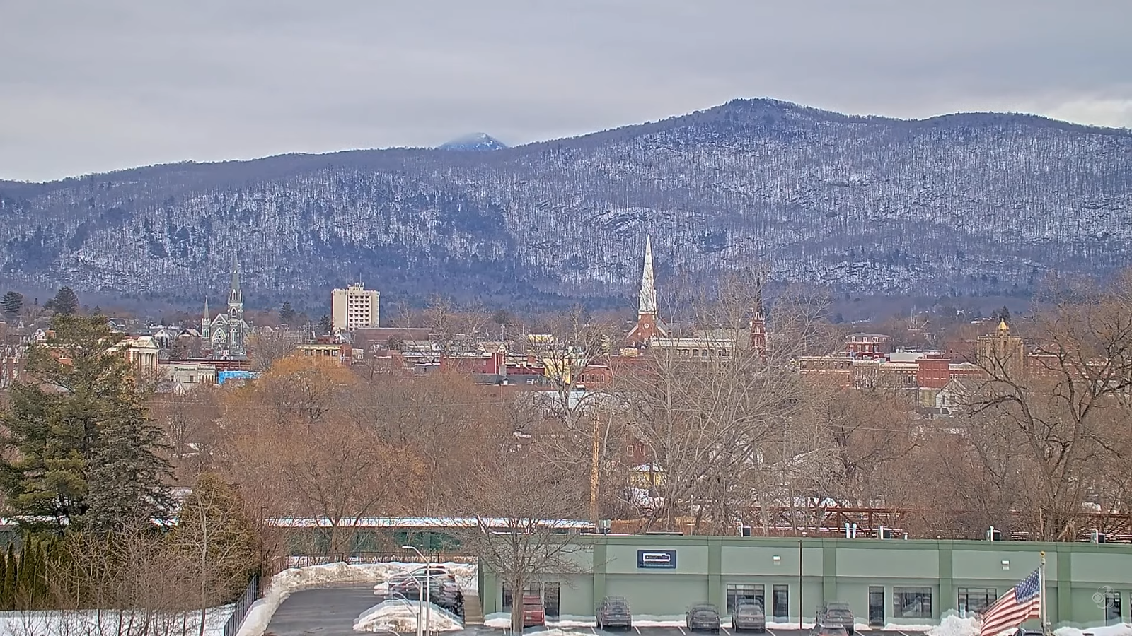
SUNDAY: Maybe a morning sprinkle, then mostly sunny with above normal temperatures. A high around 45. Southwest winds 10 to 15 mph.
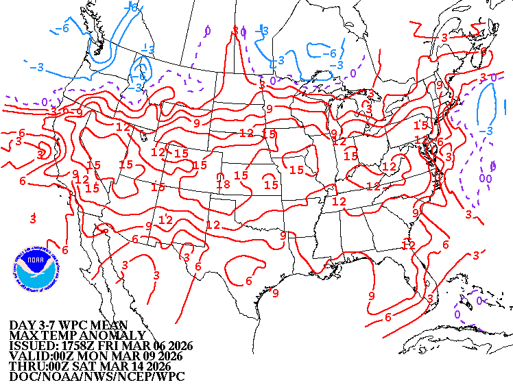
Looking further ahead
SUNDAY NIGHT: Mostly clear. Lows upper 20s low 30s.
Approx. end of climatological Winter March 9th
MONDAY: Filtered sunshine and well above normal in temperature. Highs pushing 60. (Possible sap run)
TUESDAY: Lots of sunshine with more clouds far north. A few sprinkles northern tier. Lows 30 to 35. Highs 50s. (Possible sap run)
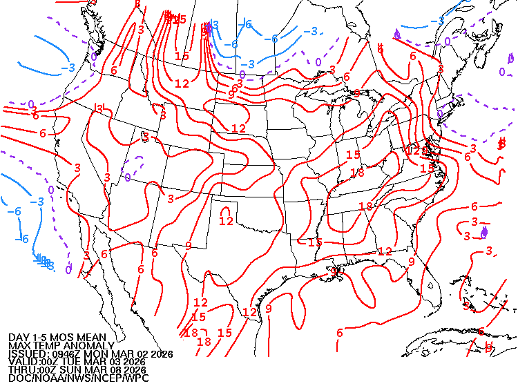
WEDNESDAY: Filtered early sun, then cloudy. Rising chance for rain or rain showers late. Morning lows 35 to 40. Highs 50s.
Average low: upper-single digits to upper-teens. Average high 35 to 40.
Vernal Equinox March 20th 10:46 AM
RH/3-5/forecast][end] Fox Trot Delta Tango
