
Roger Hill’s forecast 3:00 PM MONDAY #-2-26
Full Worm Moon & Lunar Eclipse 6:38 AM …
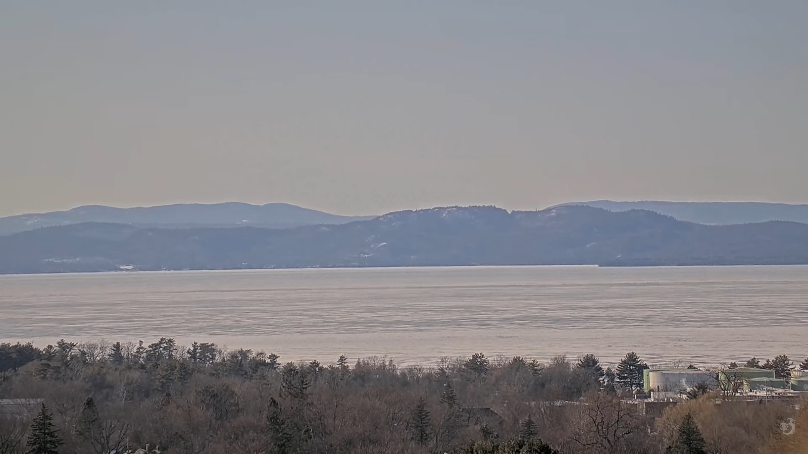
TONIGHT: Mostly clear, fully moonlit with few high clouds. A low near 0 degrees. Light south winds.
TOMORROW Town Meeting Day: Filtered early sun, then thickening clouds. Snow becoming likely Barre-Montpelier south late in the afternoon. Dusting to an inch with up 2” southern Greens. A high in the mid-30s. South winds 10 mph stronger near Laker Champlain.
TUESDAY NIGHT: Periods of light snow…moderate southern areas…winding down overnight. Total accumulation about 1 to locally 4”. A low mid to upper 20s. Light southwest winds.
WEDNESDAY: Morning clouds give way to bright sun and blue skies. Milder. A high around 45 possible early sap run. Light west winds.
Looking further ahead
WEDNESDAY NIGHT: Clear and partially moonlit. A low upper teens.
THURSDAY: Morning sun then partly cloudy. A high in the mid-40s.
FRIDAY: Gray.Chance for freezing rain or mixed precipitation with slick travel and some glazing exiting in the afternoon as a few sprinkles.Lows mid to upper 20s.Highs 32 to 35.
SATURDAY: Cloudy.Chance for some spotty light freezing rain northern areas early. Lows 30 to 32. Highs mid to upper 40s.
Average low: upper-single digits to upper-teens. Average high 35 to 40.
Approx. end of climatological Winter March 9th
Vernal Equinox March 20th 10:46 AM
RH/3-2/forecast][end] Fox Trot Delta Tango
