
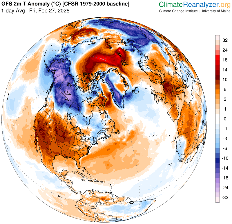
Roger Hill’s Radio Vermont Forecast 3:00 PM FRIDAY 2-27-26
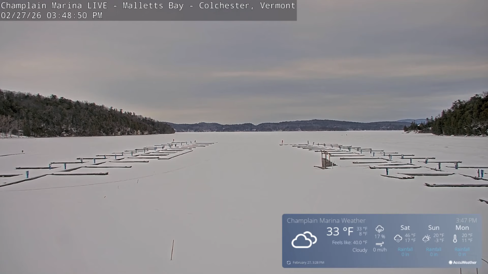
TONIGHT: Mostly clear with high clouds. Not so cold. A low mid-20s to near 30. Light south winds stronger near Lake Champlain.
TOMORROW: Clouds with intervals of sun. Widely scattered light rain or snow showers early. Noticeably milder. A high around 45. Southwest breeze 10 to 15 mph.
SATURDAY NIGHT: Considerable cloudiness. Rising chance for flurries toward daybreak. Colder. Lows mid-teens. Winds becoming light and northwesterly
SUNDAY: Clouds. Chance for a few flurries early, maybe a dusting in spots. Partly sunny in the afternoon. Colder. Temperatures holding in the mid-teens. Chilly northwest winds 10 to 15 mph.
Looking further ahead
SUNDAY NIGHT: Clear & frigid. Lows 5 to 15 below.
MONDAY: Sunny. Unseasonably cold. Highs mid to upper teens.
Full Worm moon 6:38 AM…
TUESDAY Town Meeting Day: Morning sunshine, then gray. Rising chance for accumulating wet snow moderate at times Tuesday Night. Potentially 3 to 6” Lows zero to 5 below. Highs upper 20s to low 30s.
WEDNESDAY: Chance for wet snow showers northern areas early with a brief period of rain central and southern Vermont. Intervals of afternoon sun with the start of a milder trend. Evening lows 25 to 30. Highs near 40.
Average low: mid-single digits to mid-teens. Average high ranging thru the 30s.
Approx. end of climatological Winter March 9th
Vernal Equinox March 20th 10:46 AM
RH/2-27/forecast][end] Fox Trot Delta Tango
