
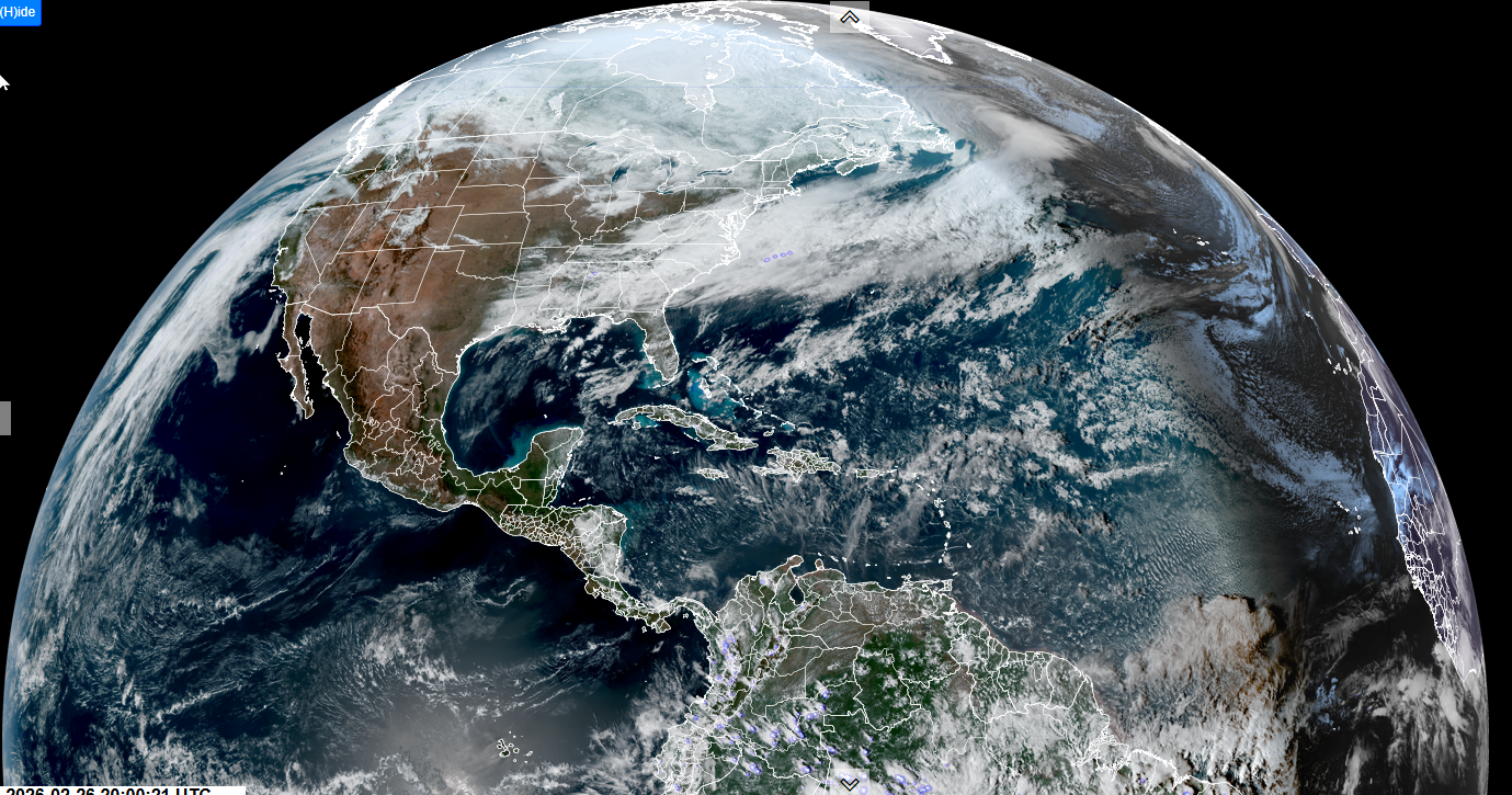
Roger Hill’s forecast 3:00 PM THURSDAY 2-26-26
TONIGHT: Mostly clear & cold with a few more clouds around daybreak. A low ranging 5 below to 10 above. Light northwest winds.
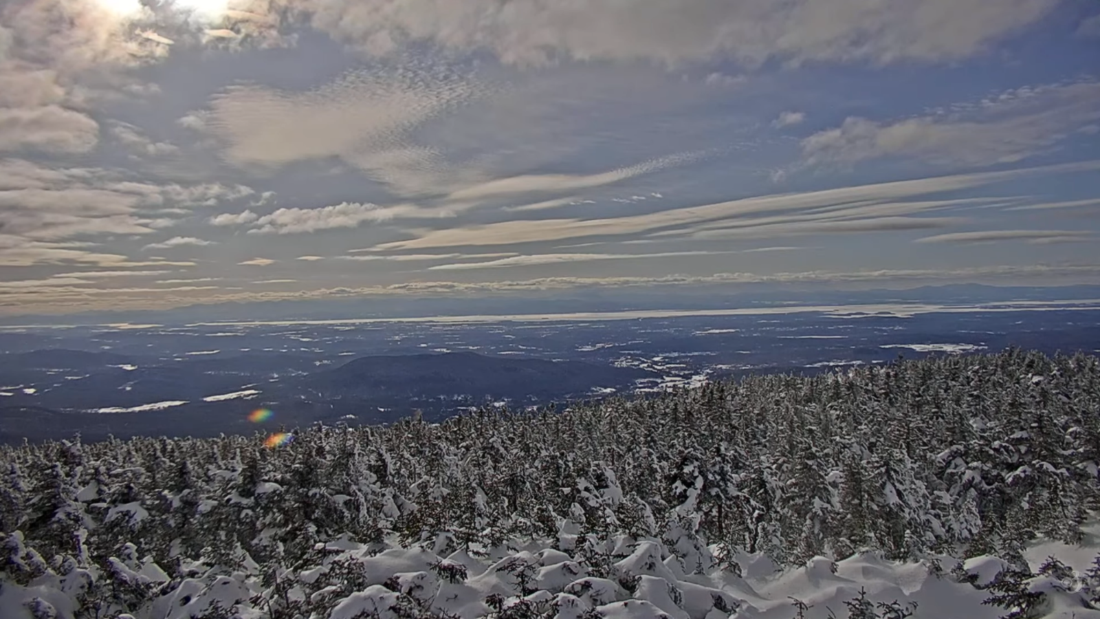
TOMORROW: Pick of the week. More sun than clouds. A high around 35. Light south winds.
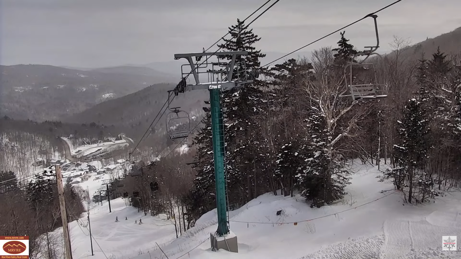
FRIDAY NIGHT: Variable high clouds. A low mid-20s to near 30. South winds 10 to 15 mph stronger near Lake Champlain.
SATURDAY: Chance for early wintry mix northern/western Vermont, otherwise variable high clouds. Noticeably milder. Highs around 45. Southwest breeze 10 to 20 mph and gusty.
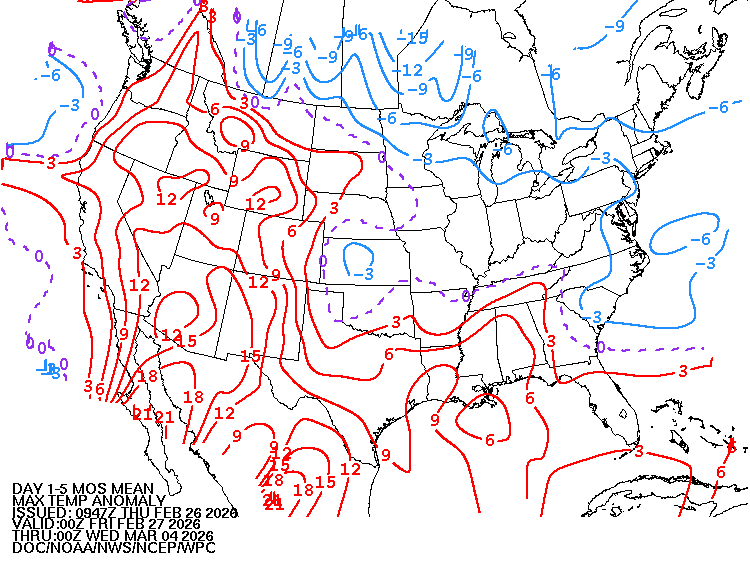
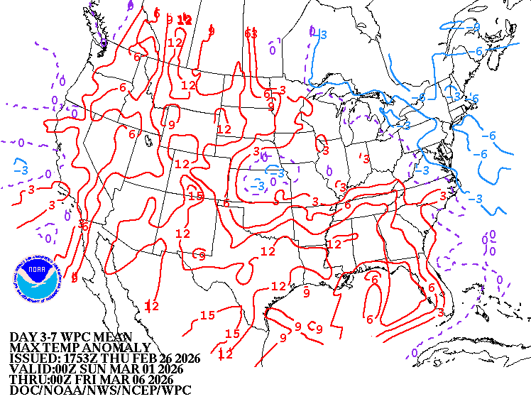
Looking further ahead
SATURDAY NIGHT: Lots of clouds. Rising chance for light snow showers or flurries overnight. Dusting in spots. Colder. Lows 10 to 15.
SUNDAY: Mainly cloudy. Chance for leftover flurries, maybe a dusting in spots…. Cold. Highs mid-teens.
MONDAY: Partly sunny. Unseasonably cold. Lows 5 to 15 below. Highs mid to upper teens.
TUESDAY: Morning sun, then clouding up. Rising chance for accumulating snow or snow showers. Lows around zero. Highs upper 20s to low 30s.
Average low: mid-single digits to mid-teens. Average high ranging thru the 30s.
Approx. end of climatological Winter March 9th
Vernal Equinox March 20th 10:46 AM
RH/2-26/forecast][end] Fox Trot Delta Tango
