
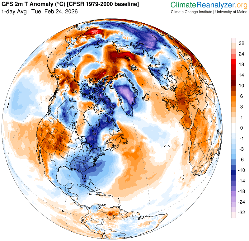
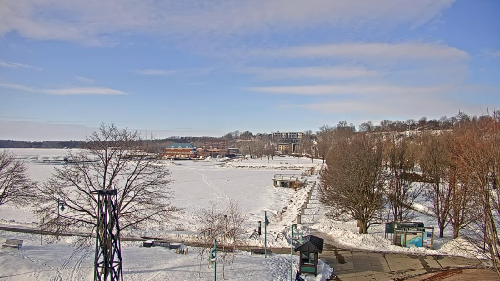
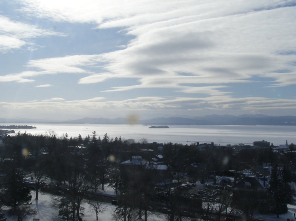
Roger Hill’s forecast 3:00 PM TUESDAY 2-24-26
TONIGHT: Mostly clear this evening, then clouding up. Snow showers are likely before daybreak. A light coating. A low ranging 10 below to 5 above. Light winds.
TOMORROW: Scattered light snow showers or flurries in the morning taper off. Otherwise, clouds with an interval of sun. Accumulation up to an inch. A high in the low 30s. South to southeast winds 10 to 15 mph, stronger Lake Champlain.
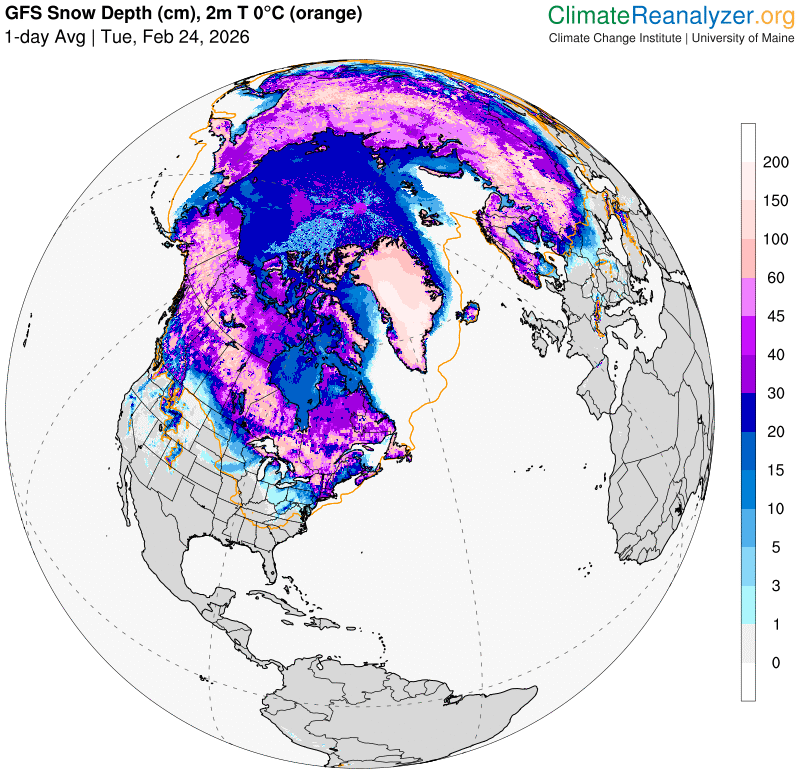
WEDNESDAY NIGHT: Partly cloudy. Becoming blustery. Early evening snow showers likely, a stray northern mountain flurry overnight. Additional minor accumulations. Lows mid to upper-teens. West to southwest winds 10 to 15 mph.
THURSDAY: Clouds with intervals of sun especially in the afternoon. Maybe a stray flurry south. Blustery. A high upper 20s. West winds 10 to 20 mph.
Looking further ahead
THURSDAY NIGHT: Mostly clear & cold. Lows zero to 5 above.
FRIDAY: Pick of the week. Mostly sunny after a cold morning. Highs around 35.
SATURDAY: Gray. Chance for early wet snow showers mixed with rain drops northern/western Vermont. Lows mid-20s. Milder. Highs mid-40s.
SUNDAY: Chance for snow showers or flurries with a light coating…gives way to periods of sunshine. Turning colder. Lows mid-teens. Highs 20s.
Average low: mid-single digits to mid-teens. Average high ranging thru the 30s.
Approx. end of climatological Winter March 9th
Vernal Equinox March 20th 10:46 AM
RH/2-24/forecast][end] Fox Trot Delta Tango
