
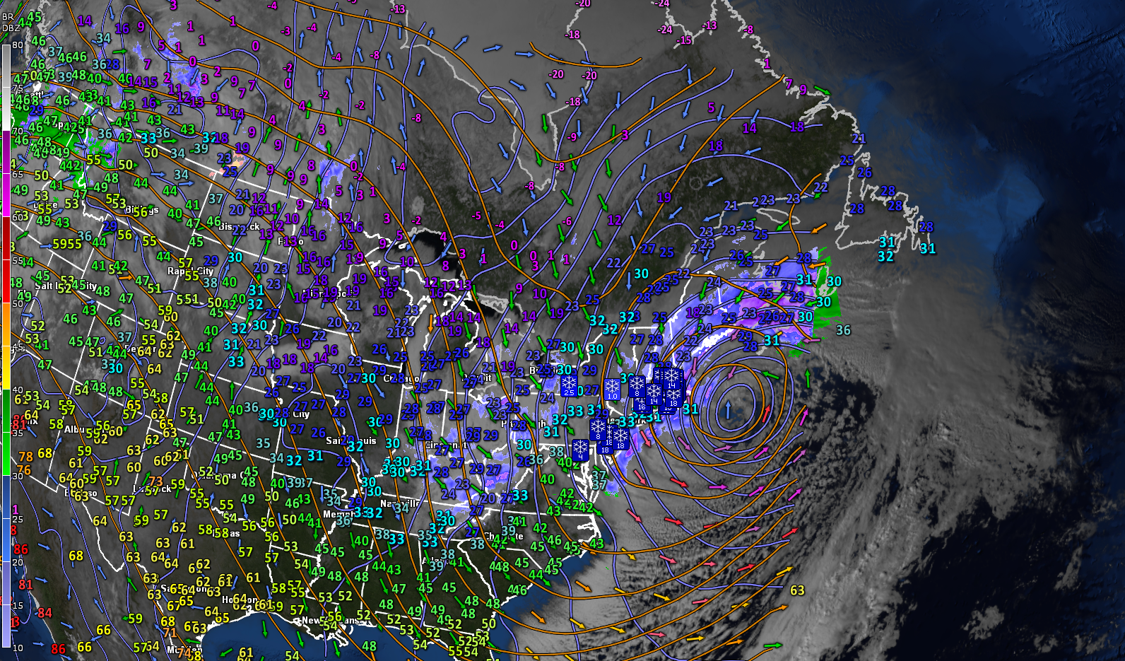
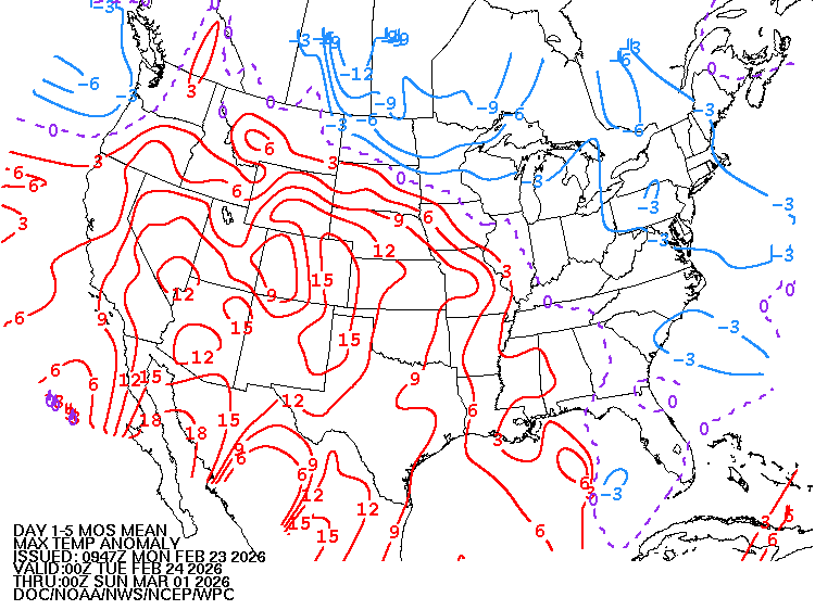
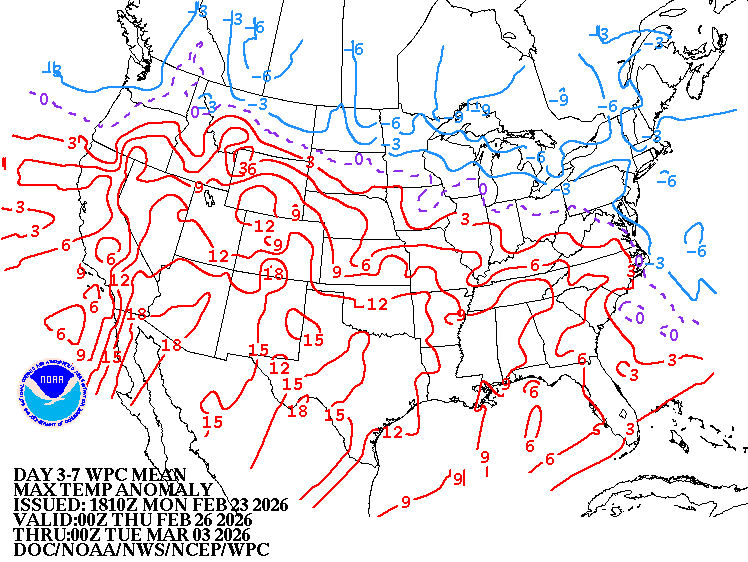
Roger Hill’s forecast 3:00 PM MONDAY 2-23-26
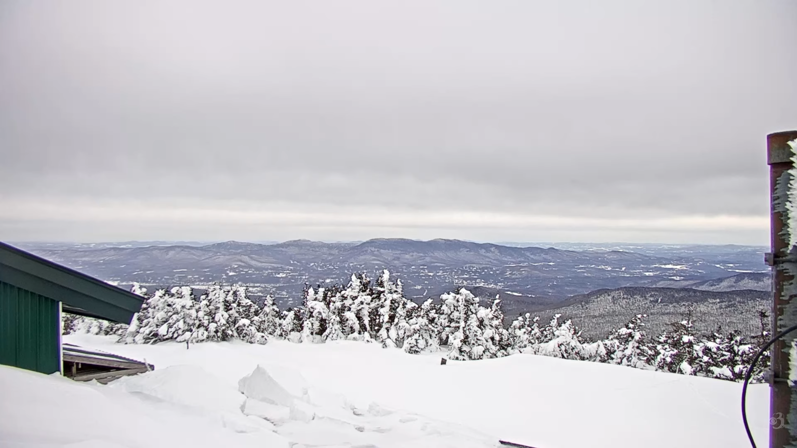
TONIGHT: Cloudy.Maybe a stray mountain flurry. A low ranging 5 to 15. Northwest winds 10 mph.
TOMORROW: Morning clouds then afternoon sunshine. A high 15 to 20. Northwest winds 10 mph.
TUESDAY NIGHT: Mostly clear in the evening, then cloudy. Good chance for snow showers or flurries before daybreak. A light coating. A low 5 below to 5 above. Little wind.
WEDNESDAY: Mainly gray. Scattered light snow showers or flurries. Accumulation around an inch. A high upper 20s to low 30s. South winds 10 mph stronger near Lake Champlain.
Looking further ahead
WEDNESDAY NIGHT: Becoming partly cloudy. Chance for leftover snow showers or flurries winding down overnight. Additional minor accumulations. Lows mid-teens to near 20.
THURSDAY: Clouds with intervals of sun. An early flurry or two possible. Highs upper 20s.
FRIDAY: Pick of the week. Mostly sunny after a cold morning. Lows single digits. Highs low to mid 30s.
SATURDAY: Mainly gray. Slight chance for a flurries near Lake Champlain. Lows teens. Highs around 40.
Average low: mid-single digits to mid-teens. Average high ranging thru the 30s.
Approx. end of climatological Winter March 9th
Vernal Equinox March 20th 10:46 AM
RH/2-23/forecast][end] Fox Trot Delta Tango
