
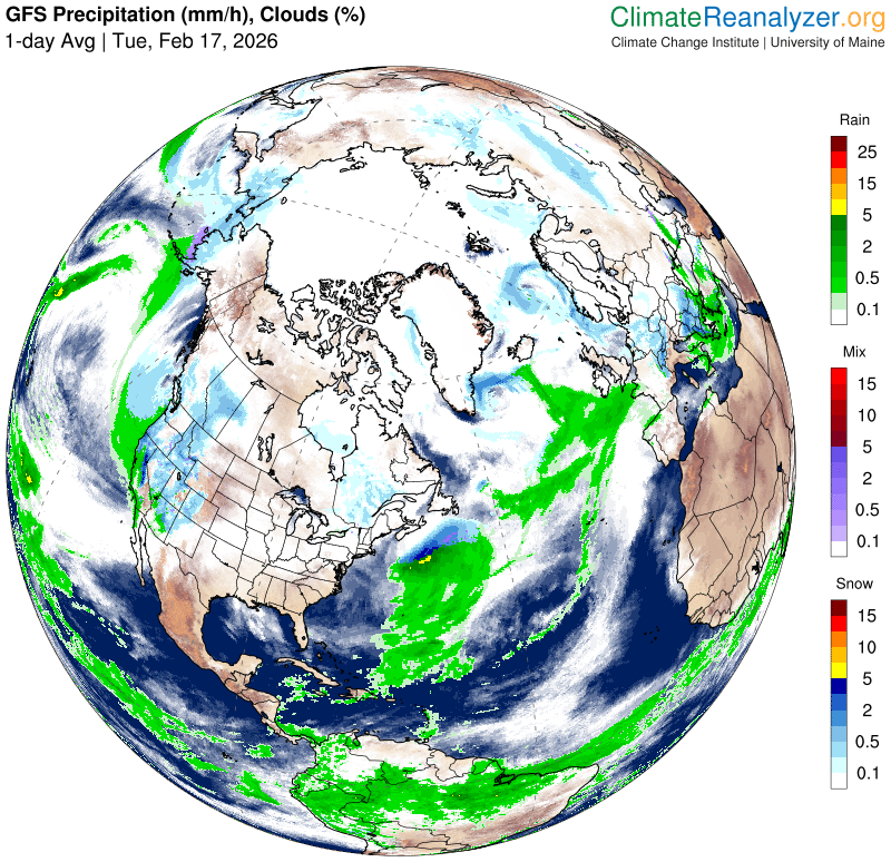
Roger Hill’s forecast 3:00 PM TUESDAY 2-17-26
TONIGHT: Maybe a stray flurry early NE Vermont, otherwise clouds give way to partial clearing overnight. A low mid to upper 20s. Light southwest winds shifting to northwest overnight.
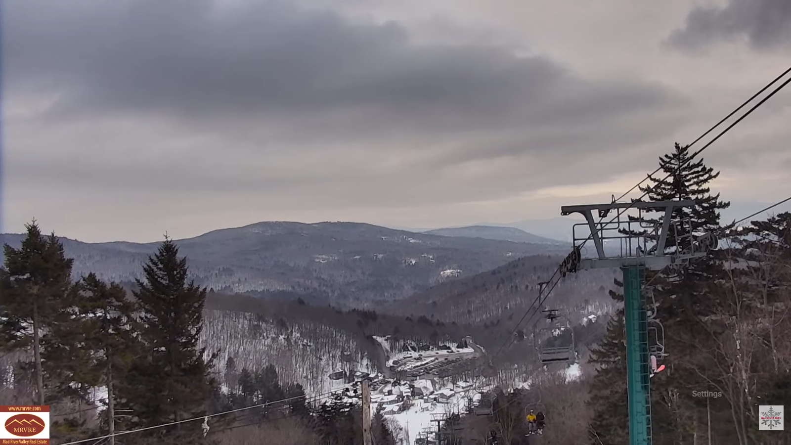
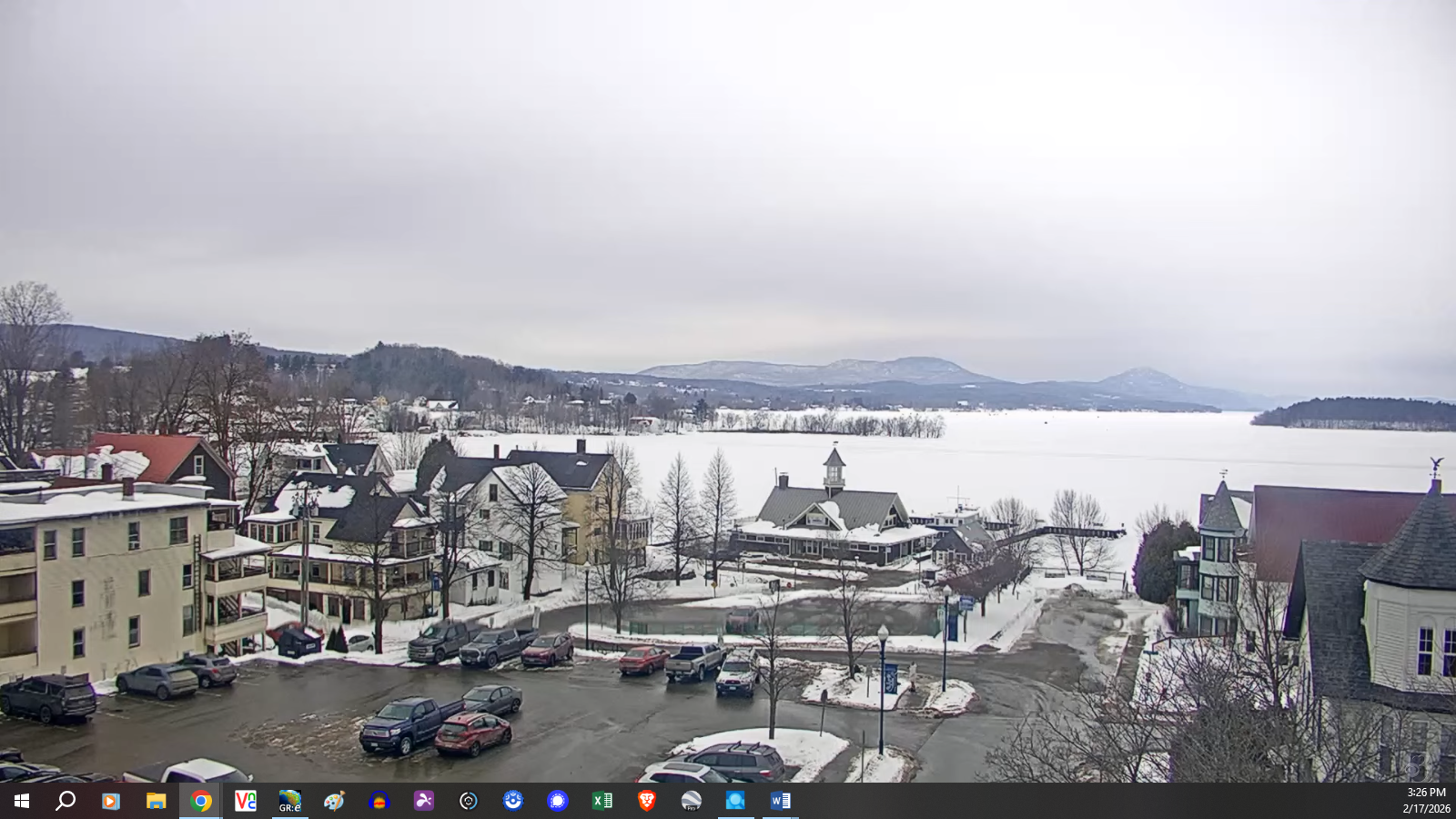
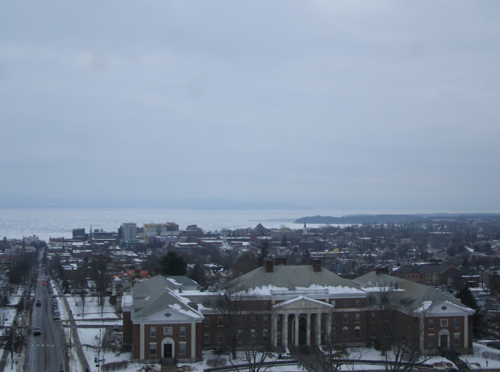
TOMORROW: Gray. Light wet snow showers arrive late afternoon southern areas, with little accumulation, remaining dry north. A high 30 to 35. Light north winds.
WEDNESDAY NIGHT: Chance for light accumulating snow southern areas, winding down overnight. About dusting to locally 3” southern mountains. A low about 5 to 10. Light north to northeast winds.
THURSDAY: Pick of the week. Mostly sunny. A high near 35. Little wind.
Looking further ahead
THURSDAY NIGHT: Mostly clear in the evening, then high cloudiness. Lows 5 to 15 above.
FRIDAY: Filtered morning sun, then gray. Chance for accumulating snow developing mid to late afternoon. Dusting to couple inches. Highs around 35.
SATURDAY: Overcast. Chance for snow or snow showers with a “wintry mix early”. Accumulation dusting to locally 3” elevated terrain. Lows upper 20s. Highs in the low 30s.
SUNDAY: Some morning intervals of sun, then more clouds. Scattered snow showers or flurries possible. Minor accumulation. Lows mid-teens to mid-20s. Highs around 32.
Average low: mid-single digits to mid-teens. Average high 30 to 35.
Approx. end of climatological Winter March 9th
Vernal Equinox March 20th 10:46 AM
RH/2-17/forecast][end] Fox Trot Delta Tango
