
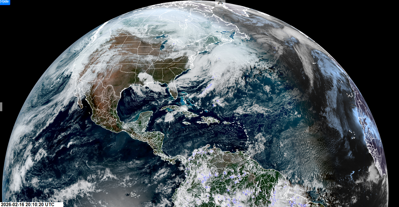
Roger Hill’s Forecast 3:00 PM MONDAY 2-16-26
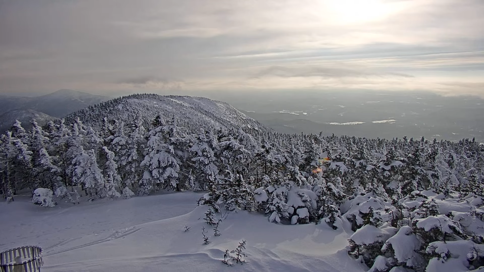
TONIGHT: Considerable cloudiness.Chance for a flurry or snow shower northern areas.A low 20 to 25. Light south to southeast winds, stronger near Lake Champlain.
TOMORROW: Mainly cloudy. Scattered wet snow showers mixed with rain drops valleys. A slushy coating in spots higher terrain in the morning. A little milder. A high mid to upper 30s. Light southwest winds,
TUESDAY NIGHT: Mostly cloudy. Northeast Kingdom stray flurry in the evening. A low upper 20s. Light west to northwest winds.
WEDNESDAY: Gray. Rising chance for light wet snow accumulation southern areas in the afternoon with a dusting to 2 inches. A high in the middle 30s. Light north winds.
Looking further ahead
WEDNESDAY NIGHT: Chance for accumulating snow central and southern areas, winding down around day break. About 2 to 4” southern half of Vermont. A low 5 to 15 warmest south.
THURSDAY: Pick of the week. A beauty with lots of sunshine, a hint of spring. Highs around 35.
FRIDAY: Filtered morning sun, then thickening clouds. Chance for accumulating snow developing toward dark. Lows zero to 10 above. Highs 32 to 35.
SATURDAY: Overcast. Chance for a wintry mix. Accumulation dusting to locally 3” most elevated terrain. Lows mid-20s. Highs 32 to 35.
Average low: mid-single digits to mid-teens. Average high 30 to 35.
Approx. end of climatological Winter March 9th
Vernal Equinox March 20th 10:46 AM
RH/2-16/forecast][end] Fox Trot Delta Tango
