

Roger Hill’s Radio Vermont Forecast 3:00 PM THURSDAY 2-5-26
TONIGHT: Some high cloudiness & partially moonlit. Colder. Lows zero to 10 below. Little wind.
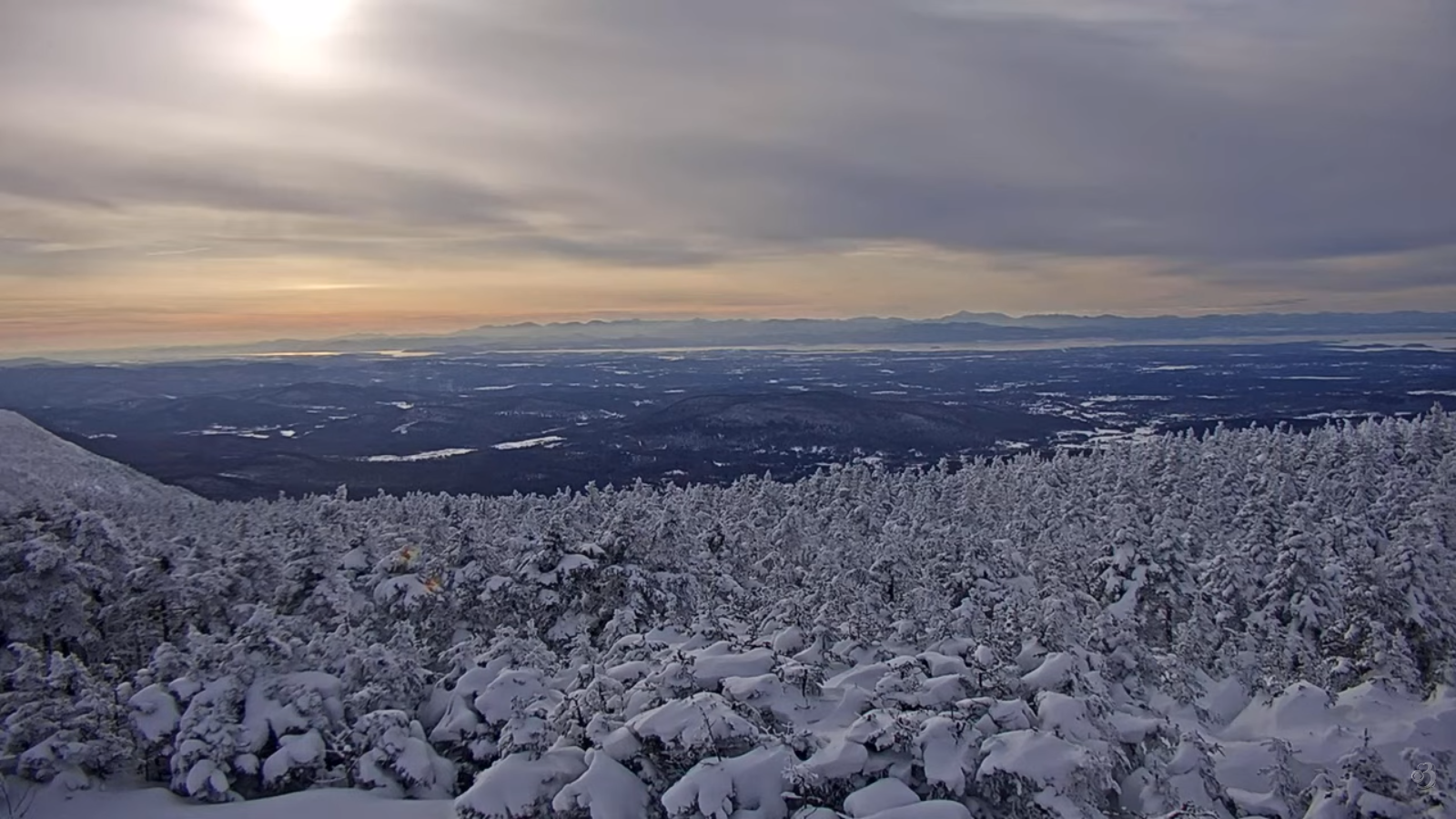
TOMORROW: More clouds than sunshine. A high in the low 20s. Light southeast winds.
FRIDAY NIGHT: Cloudy. Occasional light snow or snow showers developing with up to an inch. A low around 15. Light southeast winds.
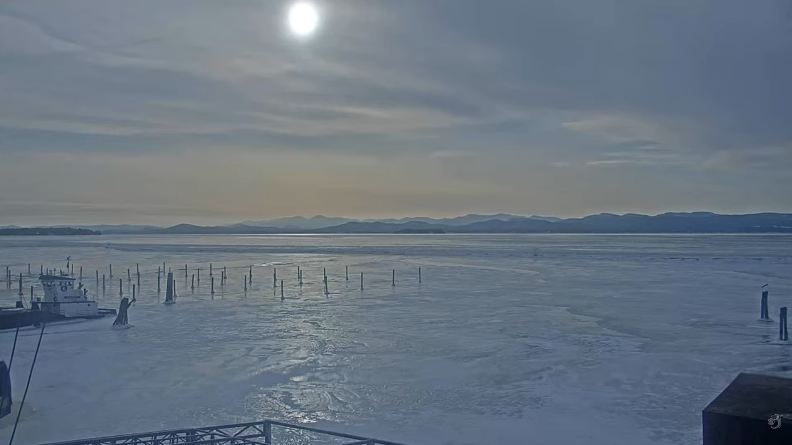
SATURDAY: Gray. Light snow showers likely…with a risk of snow squall in the afternoon. Additional inch accumulation. Highs in the mid-teens, sharply colder in the afternoon. Becoming blustery. Northwest winds 10 to 15 mph with lowered wind chills.
Looking further ahead
Extreme Cold Watch 6 PM Saturday into Sunday afternoon…
SATURDAY NIGHT: Mostly cloudy. Lingering flurries with fluffy light coating. Lows minus 5 to minus 10.
SUNDAY: Morning clouds give way to lots of afternoon sunshine. Arctic chill. Highs in the lower single digits.
MONDAY: Arctic sunshine. Bitterly cold. Lows 10 to 20 below. Highs 5 to 10 above.
TUESDAY: Mostly sunny. Lows 5 to 15 below. Highs around 20.
Average low: single digits to low teens. Average high mid-20s to low 30s
Approx. end of climatological Winter March 9th
Vernal Equinox March 20th 10:46 AM
RH/2-4/forecast][end] Fox Trot Delta Tango
