
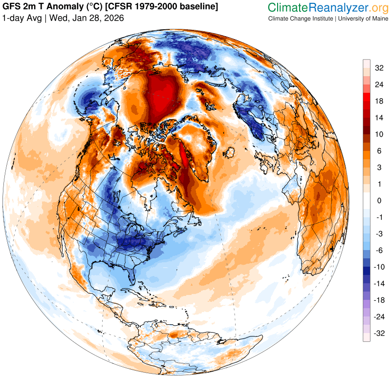
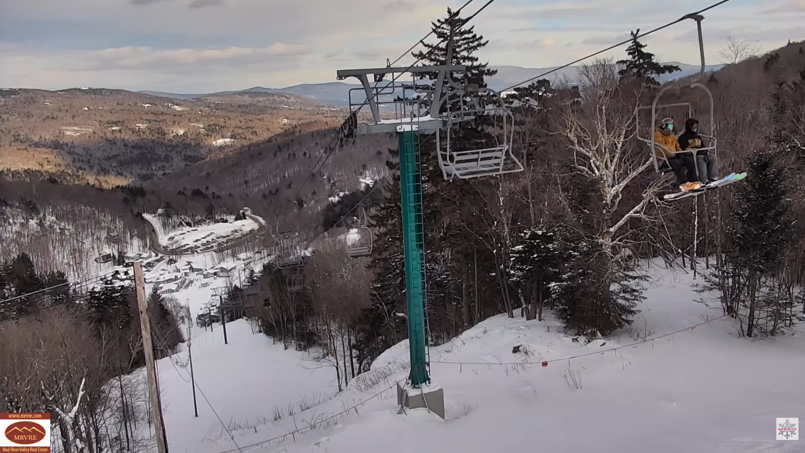
Roger Hill’s Radio Vermont Forecast 3:00 PM WEDNESDAY 1-28-26
TONIGHT: Mainly cloudy. Flurries with a dusting in spots north. A low 5 above to 5 below. Little wind.
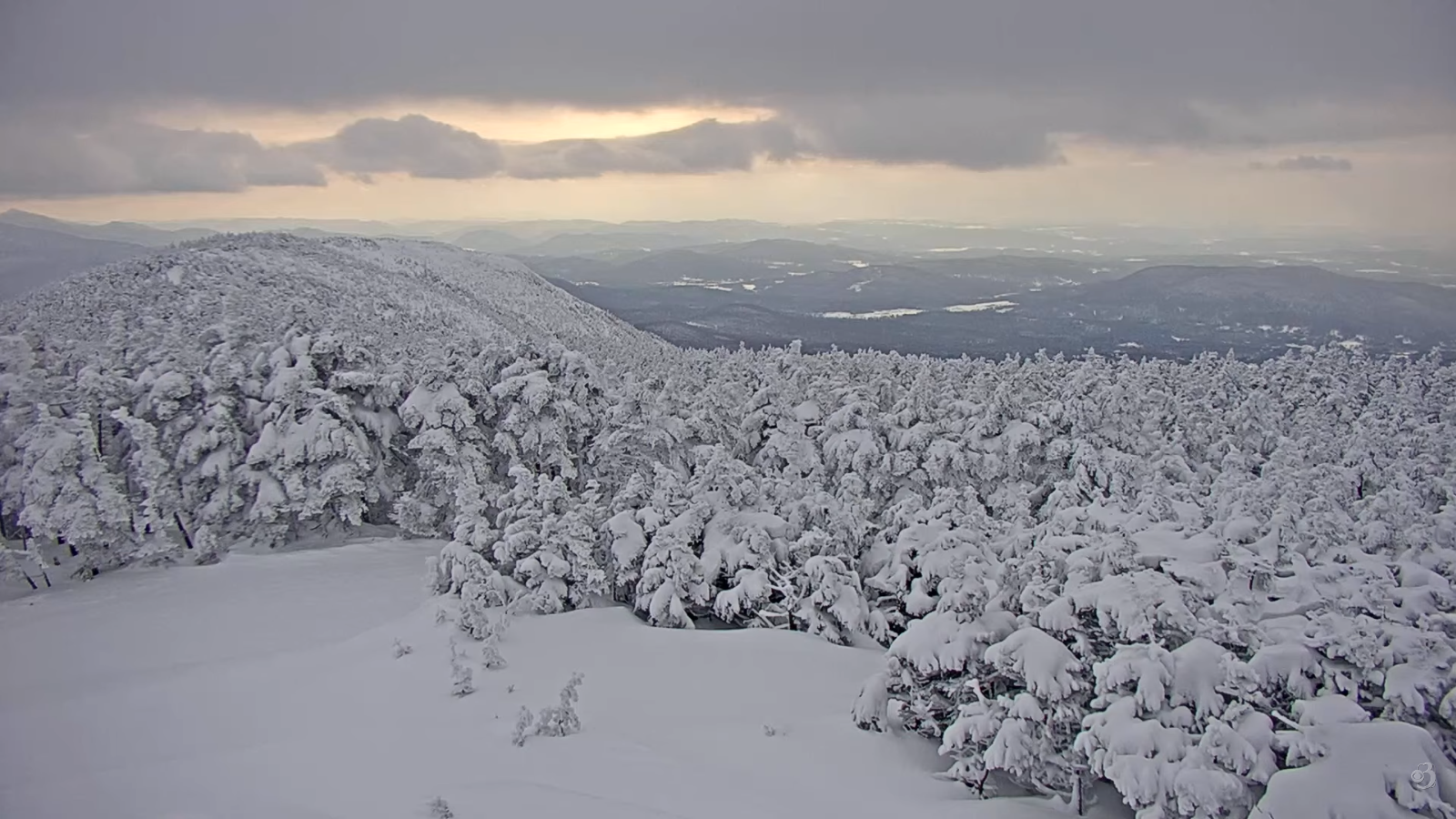
TOMORROW: Clouds with breaks of sunshine. A stray mountain flurry. Blustery at times with lowered wind chills. A high near 15. Northwest winds 10 mph with low wind chills in the afternoon.
THURSDAY NIGHT: Mostly clear central and south & partially moonlit. Clouds, a few flurries developing northern areas with a dusting to half inch. Blustery with low wind chills. A low ranging zero to 15 below. Northwest winds 10 to 20 mph
FRIDAY: Scattered flurries linger northern areas mainly in the morning with a dusting. Skies partly cloudy otherwise. Blustery with low wind chills with a high just zero to 5 above. Northwest winds 10 to 20 mph.
Looking further ahead
FRIDAY NIGHT: Mostly clear to partly cloudy. A stray flurry or two western valleys. Bitterly cold. Lows ranging minus 5 to 20 below.
SATURDAY: Morning clouds north, otherwise bright sunshine and blue skies. Frigid. Highs in the single digits.
Full Snow Moon 5:09 PM
SUNDAY: Filtered sun northern areas with thickening clouds central and southern areas. Bitterly cold. Lows 10 to 20 below. Highs 10 to 15 above.
MONDAY: Filtered sun thru high clouds. Lows 5 below to 10 above. Highs mid to upper teens.
Average low: single digits to low teens. Average high mid-20s to low 30s
Admin: No Forecast Friday Jan. 30th….
RH/1-27/forecast][end] Fox Trot Delta Tango
