
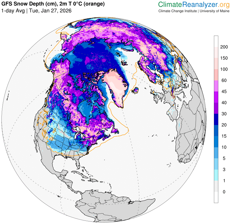
Roger Hill’s Radio Vermont Forecast 3:00 PM TUESDAY 1-27-26
TONIGHT: Partly cloudy.Widely scattered flurries. A light fluffy coating. A low 5 above to 5 below. Light west to southwest winds.
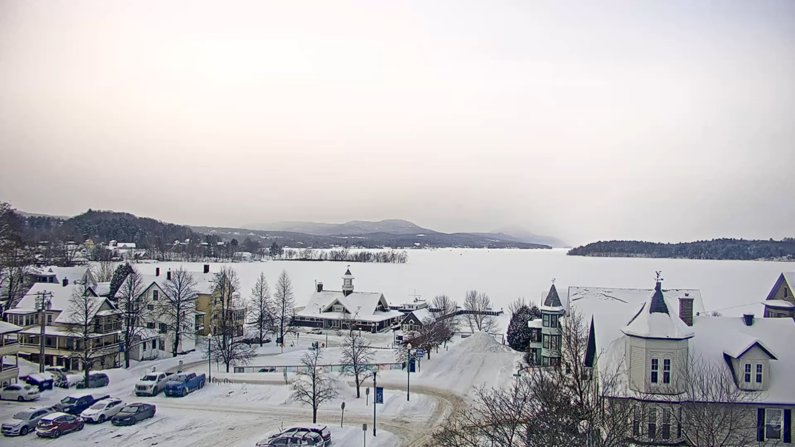
TOMORROW: Intervals of morning sun then more clouds in the afternoon.A high around 15.Light west winds.
WEDNESDAY NIGHT: Mostly cloudy. A few stray flurries with a dusting in spots north. Lows 5 above to 5 below. Little wind.
THURSDAY: Clouds with breaks of sunshine. Maybe a flurry. Blustery at times. A high in the mid-teens. Northwest winds 10 mph with low wind chills.
Looking further ahead
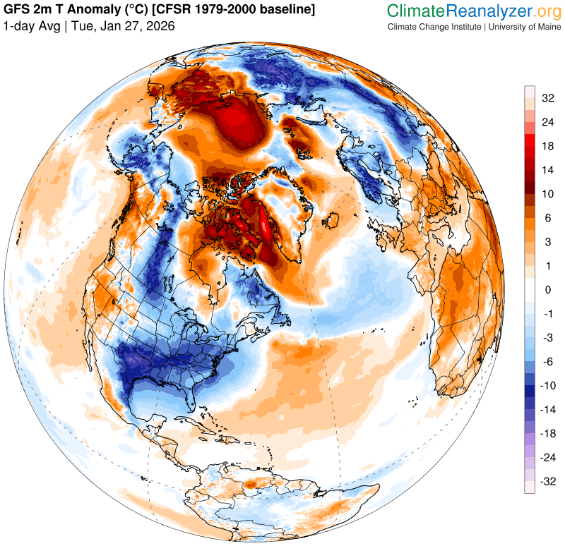
THURSDAY NIGHT: Mostly clear central and south. Clouds, rising chance for a flurry northern area late. Frigid. A low zero to 10 below.
FRIDAY: Cloudy north with scattered flurries, partly sunny otherwise. Blustery with lowered wind chills with a high just zero to 5 above.
SATURDAY: Lots of sunshine. Frigid. Bitterly cold. Lows 10 to 20 below. Highs 10 to 15.
Full Snow Moon 5:09 PM
SUNDAY: Filtered sun thru high clouds. Bitterly cold. Lows 10 to 20 below. Highs 5 to 15 above.
Average low: single digits to low teens. Average high mid-20s to low 30s
Admin: No Forecast Friday Jan. 30th….
RH/1-27/forecast][end] Fox Trot Delta Tango
