
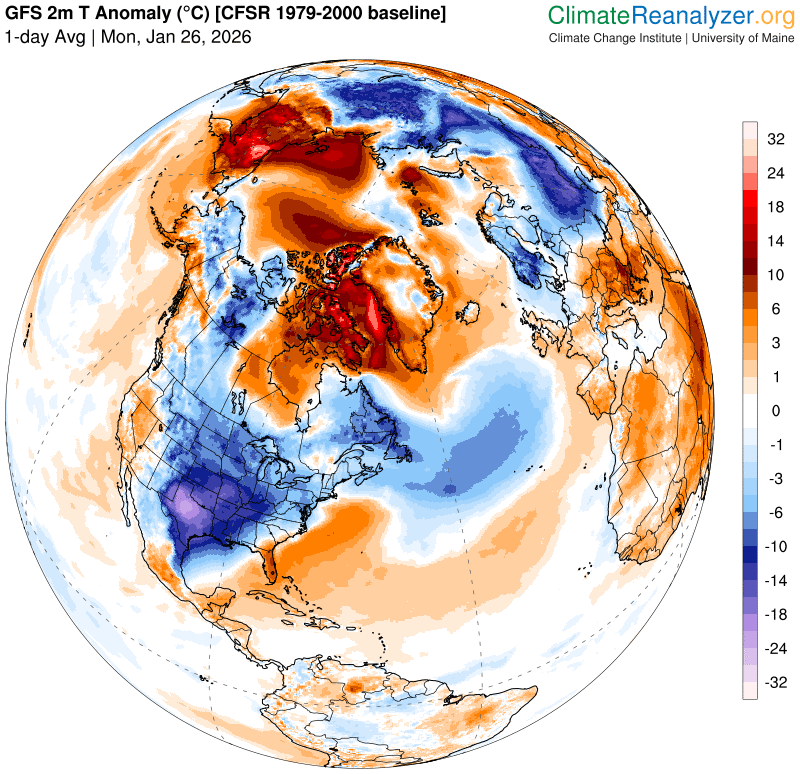
Roger Hill’s Radio Vermont Forecast 3:00 PM MONDAY 1-26-26
TONIGHT: Cloudy.Occasional flurries taper off overnight. Minor additional fluffy accumulation. Partial clearing before daybreak. Cold. A low 5 below to 5 above. Northwest winds 10 mph.
TOMORROW: Mainly gray. Rising chance for mountain flurries northern areas. Little more than a dusting in spots. A high around 15. Light southwest winds.
TUESDAY NIGHT: Partly to mostly cloudy.Widely scattered flurries. A fluffy light coating. A low 5 above to as cold as 10 below. Light west winds.
WEDNESDAY: Mixed sun with more clouds in the afternoon.A high around 15.Light west to northwest winds.
Looking further ahead
WEDNESDAY NIGHT: Mostly cloudy. A few stray flurries with a dusting in spots north. Lows 5 above to minus 10.

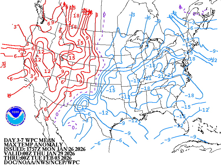
THURSDAY: Maybe an early flurry. Blustery at times with lots of lingering clouds. A high 10 to 15. Lowered wind chills.
FRIDAY: Clouds north, partly sunny central and south. Blustery with lowered wind chills. A low zero to 10 below. A high in the mid-teens.

SATURDAY: Lots of sunshine but linger northern mountain clouds. Lows zero to 15 below. Highs zero to 5 above.
Average low: single digits to low teens. Average high mid-20s to low 30s
Full Snow Moon 5:09 PM Feb. 1st, 2026
RH/1-26/forecast][end] Fox Trot Delta Tango
