
Roger Hill’s Radio Vermont Forecast 3:00 PM FRIDAY 1-23-26
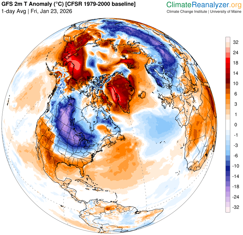
Extreme Cold Warning thru 1 PM Saturday
TONIGHT: A few early evening flurries, then mostly clear with arctic-like chill. A low 10 to 20 below zero. Northwest winds 10 to 20 mph causing dangerous wind chills to minus 40.
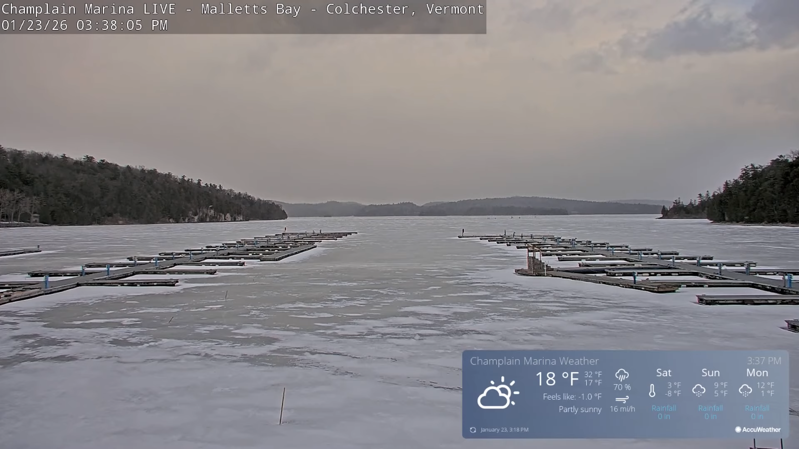
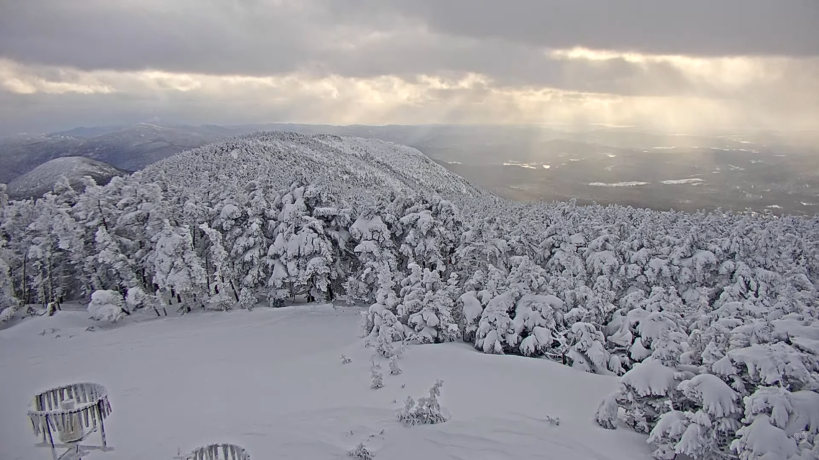
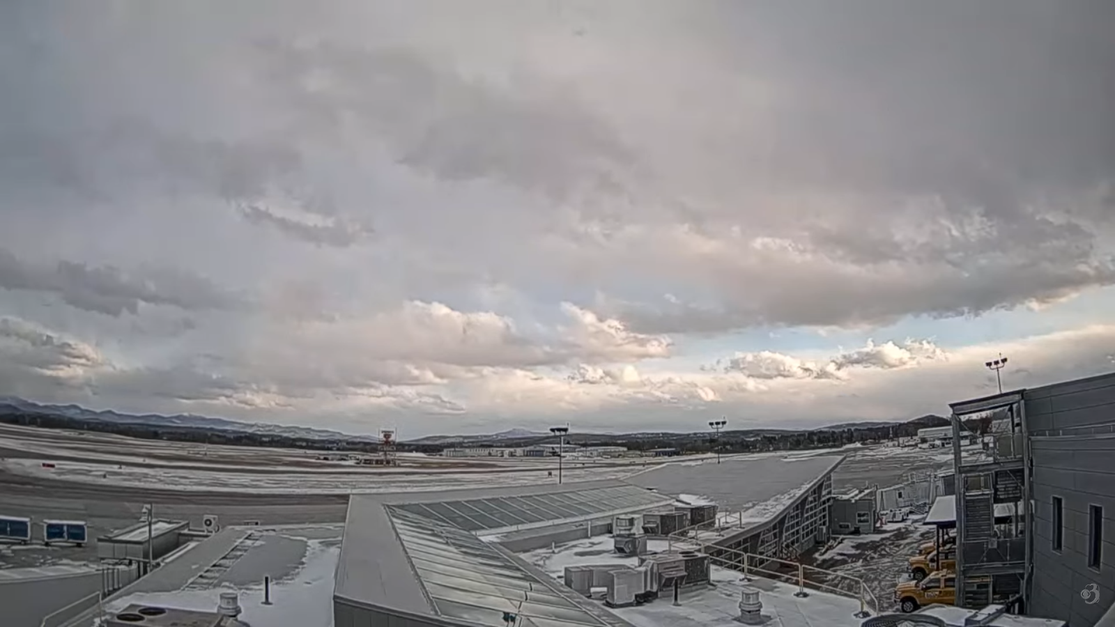
TOMORROW: Arctic sunshine. A high only zero to minus 10 degrees. Northwest winds 10 mph with low wind chills.
SATURDAY NIGHT: Mostly clear, with high thickening clouds overnight. Bitterly cold. Lows ranging 15 to 25 below! Light northwest winds.
Winter Storm Warning Addison Washington Orange Counties south…Winter Weather Advisories elsewhere…Sunday Afternoon into Tuesday for Snowfall…
SUNDAY: Thickening clouds. Accumulating snow arriving late afternoon south to north. Dusting north…up to 3” south. Highs just 5 to 10 above. Light northeast winds.
Looking further ahead
SUNDAY NIGHT: Overcast. Periods of fluffy snow…moderate to heavy at times in the evening. Additional 3 to 8” most central and south. Lows 5 to 10.
MONDAY: Cloudy. Lingering light accumulating snow or snow showers likely. Storm total accumulation of several inches to slightly over a foot. Highs around 15.
TUESDAY: Lots of clouds. Chance for flurries in the afternoon. Lows 5 above to 5 below. Highs in the low teens.
WEDNESDAY: More sun than cloud. Lows single digits. Highs teens.
Average low: zero to 10. Average high mid-20s to around 30.
Full Snow Moon 5:09 PM Feb. 1st, 2026
RH/1-23/forecast][end] Fox Trot Delta Tango
