
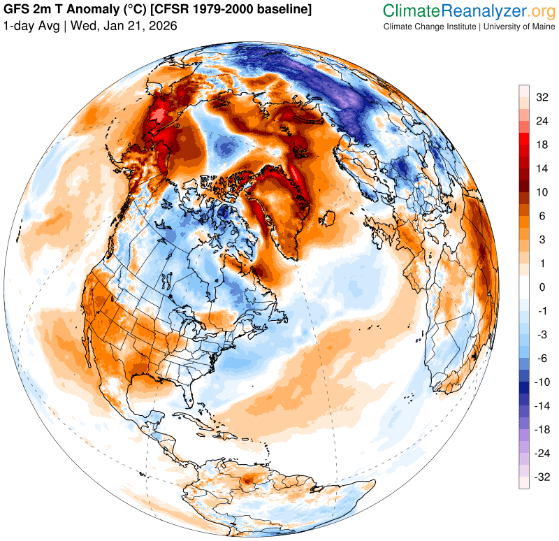
Roger Hill’s Radio Vermont Forecast 3:00 PM WEDNESDAY 1-21-26
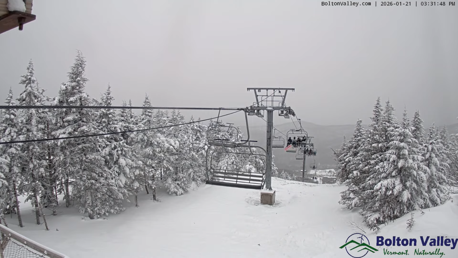
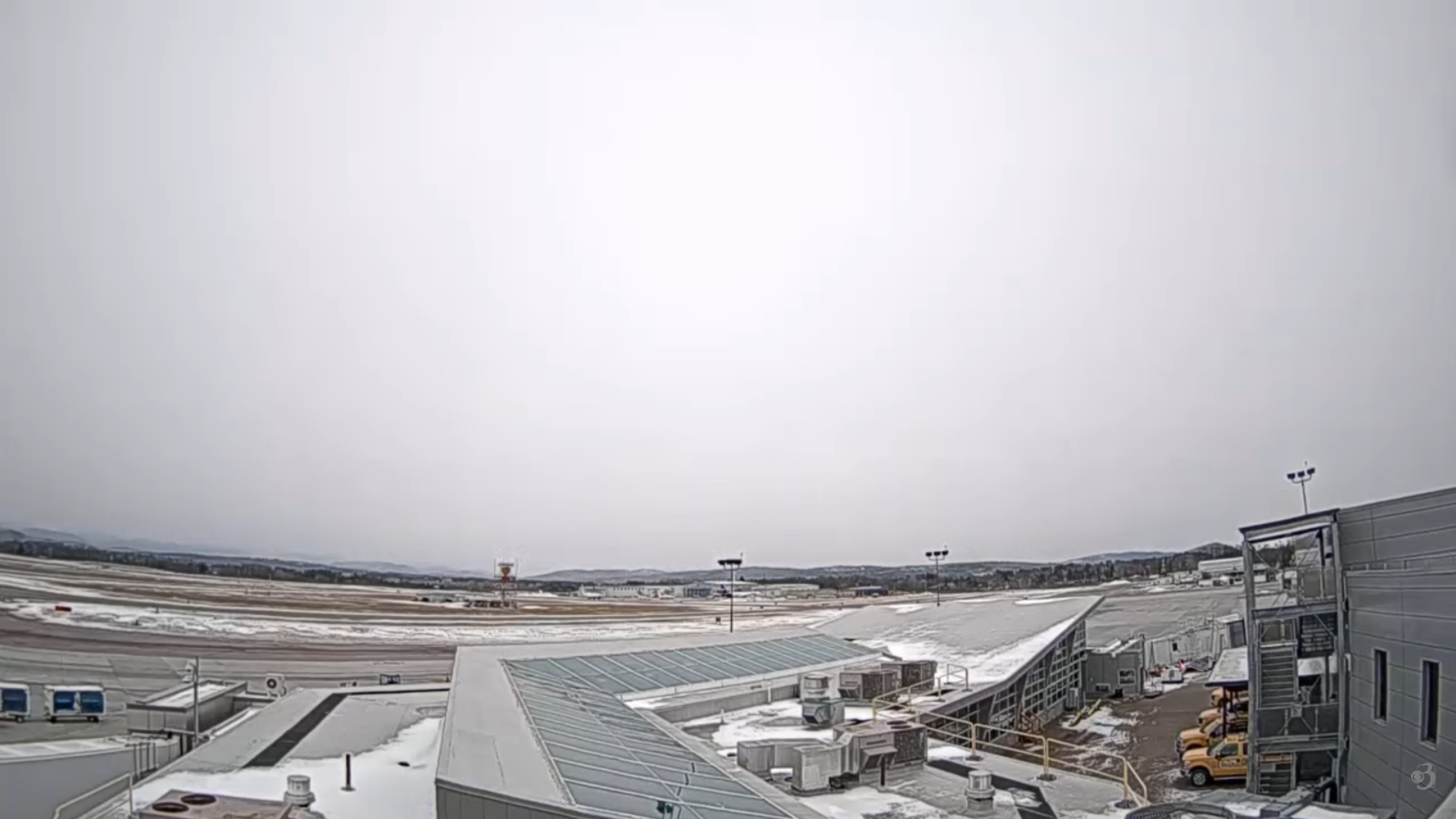
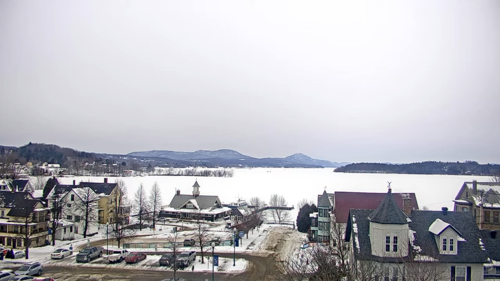
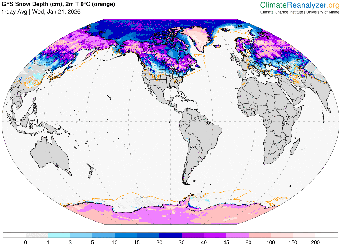
TONIGHT: Lots of clouds.Scattered flurries or light snow showers with a light coating. An early low 15 to 20, rising overnight. South winds 10 mph stronger Champlain Valley.
Approximate peak of winter or halfway point – January 22nd
TOMORROW: Continued flurries/light snow showers. Dusting to an inch. Otherwise partial afternoon sun. A high around 32 degrees. Southwest winds 10 to 15 mph.
THURSDAY NIGHT: Considerable clouds. A few stray flurries. Little accumulation. A low 5 to 15 above. West winds 10 to 15 mph.
FRIDAY: Mainly gray. Occasional flurries. Dusting in spots. A high 15 to 20. West to southwest winds 10 to 20 mph with higher gusts southern areas.
Looking further ahead
FRIDAY NIGHT: Becoming mostly clear & frigid. A low 10 to 20 below.
SATURDAY: Mostly sunny. Frigid. Highs only reaching to 5 below to near zero.
SUNDAY: Gray. Rising chance for accumulating snow. Potential 1 to 3” with 2 to 5” southern Vermont. Lows ranging 10 to 25 below! Highs zero to 10 above.
MONDAY: Cloudy. Chance for light accumulating snow or snow showers. Potential accumulation of few to several inches. Lows single digits. Highs teens.
Average low: zero to 10. Average high mid-20s to around 30.
Full Snow Moon 5:09 PM Feb. 1st, 2026
RH/1-21/forecast][end] Fox Trot Delta Tango
