
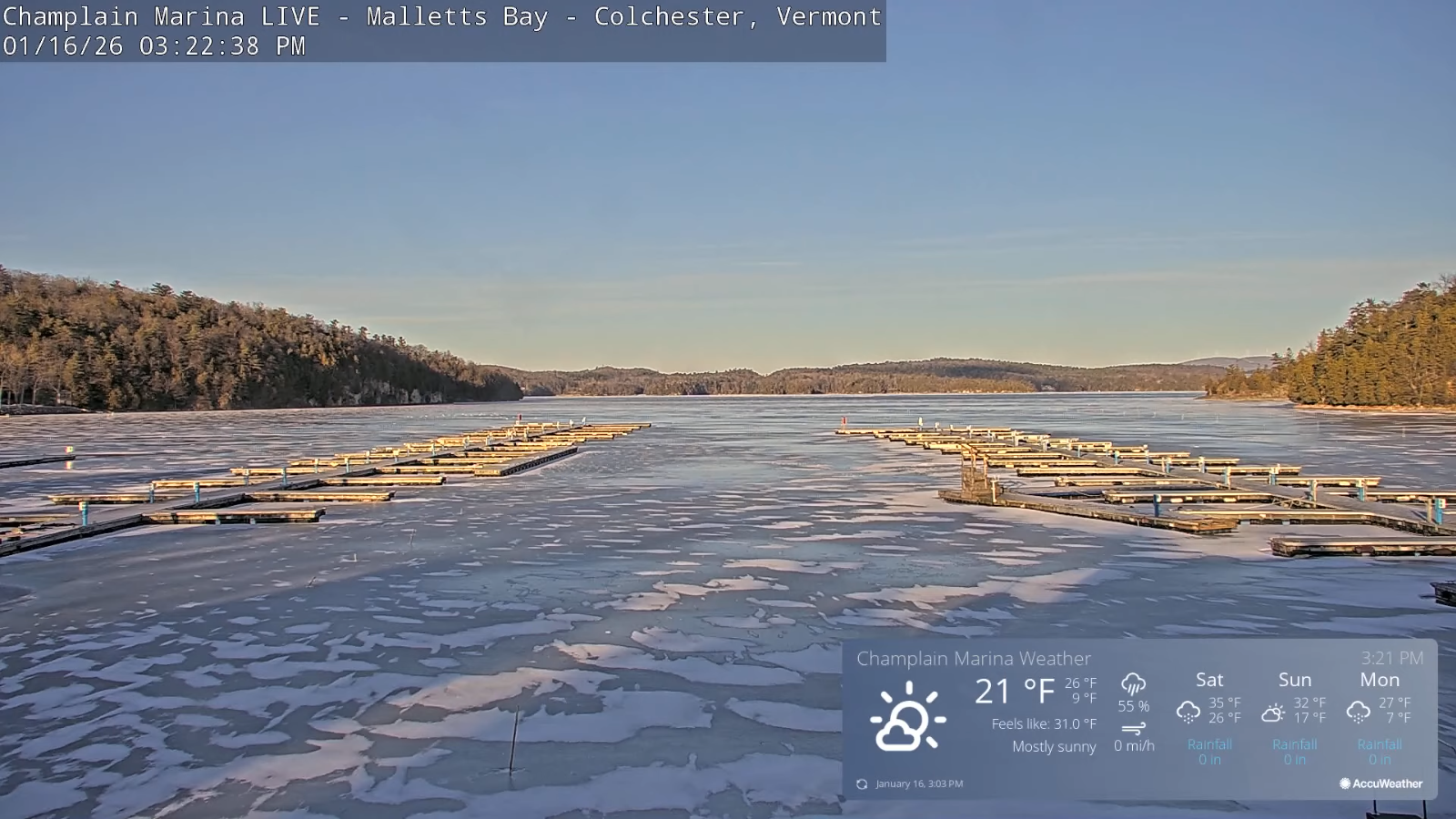
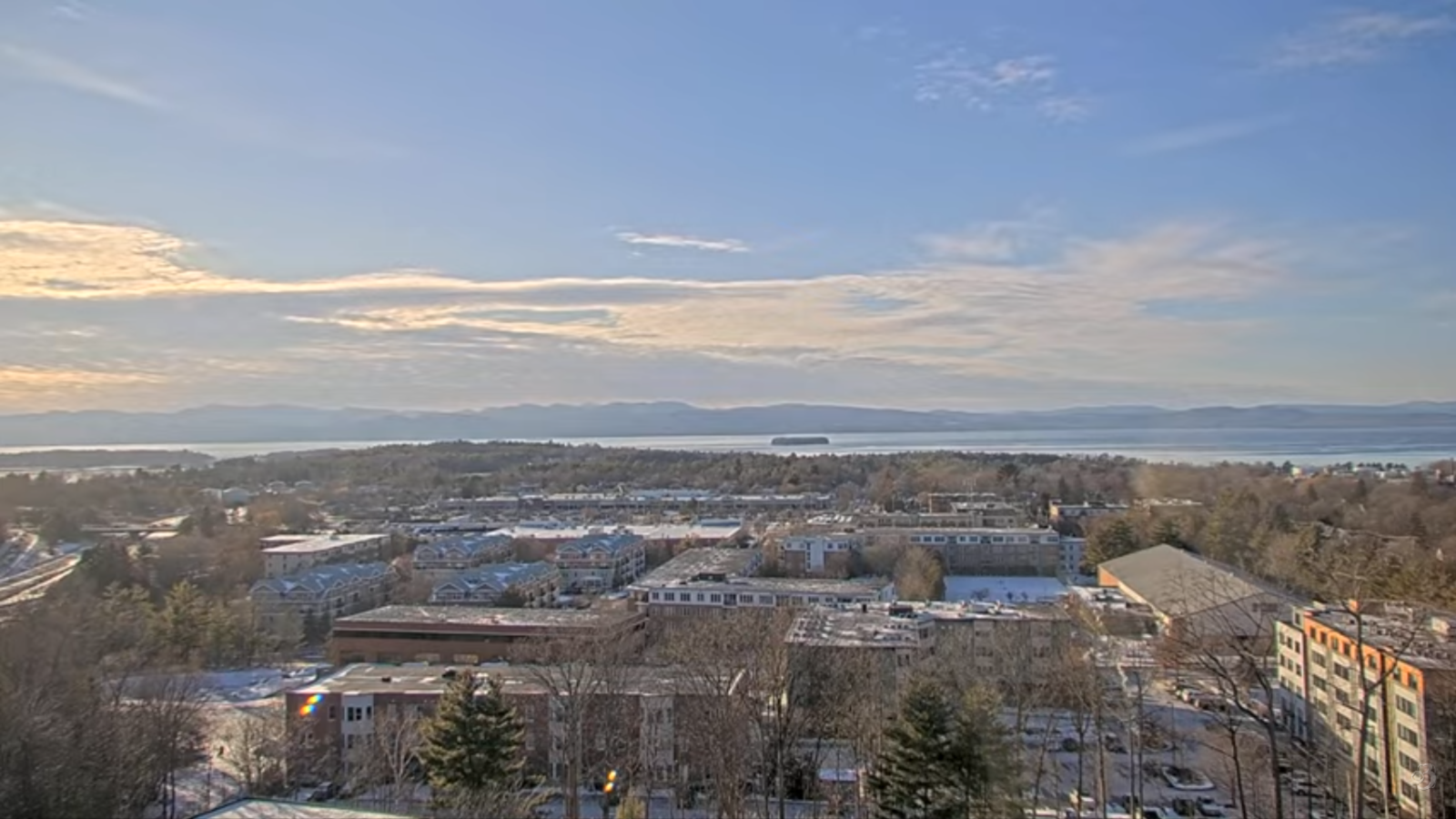
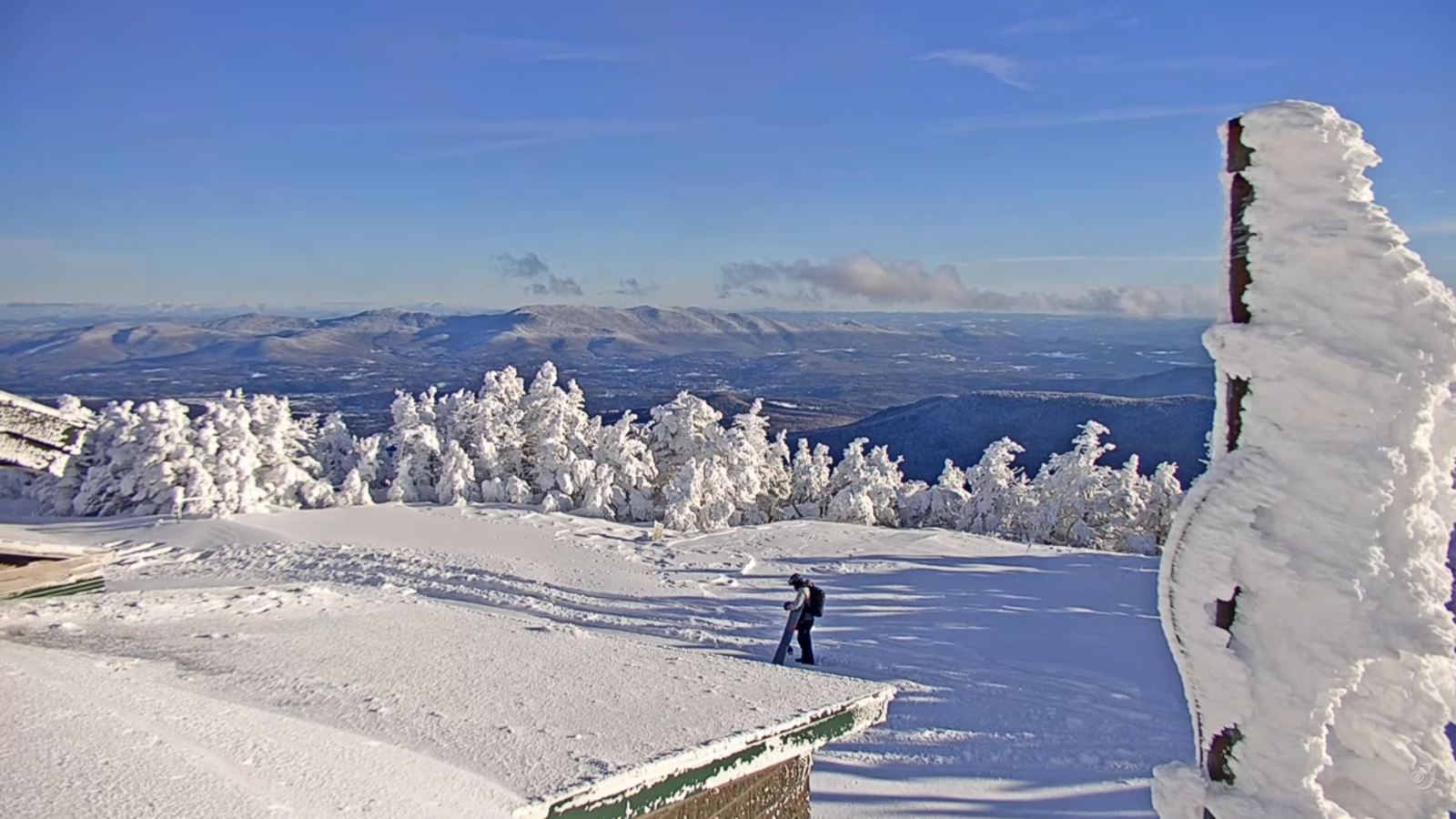
Roger Hill’s Radio Vermont Forecast 3:00 PM FRIDAY 1-16-26
Winter Weather Advisories S. Vermont overnight though Saturday…
TONIGHT: Thickening clouds. Scattered flurries develop northern areas with accumulating snow showers southern Vermont – around an inch or 2. Cold. A low ranging in the single digits. Light south wind.
TOMORROW: Gray skies. Flurries likely north. Occasional light snow showers southern areas with dusting to an inch. A high around 32. South winds 10 mph breezier near Lake Champlain.
SATURDAY NIGHT: Partly to mostly cloudy. Scattered flurries mainly north. Minor accumulation. A low upper teens to mid-20s. Light southwest winds, breezier near the lake.
SUNDAY: Scattered morning flurries dry up. Otherwise hints of sun through high clouds. A high mid to upper 20s. West to southwest winds 10 mph.
Looking further ahead
SUNDAY NIGHT: Partly cloudy. Maybe a stray mountain flurry. A low 5 to 15 above.
MONDAY: Variable clouds, Slight chance for a flurry. Close to seasonal norms. Highs low to mid 20s.
TUESDAY: Partly cloudy. Slight chance for a flurry. Colder trend begins. Cold. Lows single digits. Highs in the low teens.
WEDNESDAY: Chance for a northern mountain flurry, otherwise partly cloudy and rather cold. Lows 5 below to 5 above. Highs mid to upper teens.
Average low: zero to 10. Average high mid to upper 20s.
Admin: No forecast Monday, Tuesday next week 1/19 & 1/20
Approximate peak of winter or halfway point – January 22nd
RH/1-16/forecast][end] Fox Trot Delta Tango
