
Roger Hill’s Radio Vermont Forecast 3:00 PM THURSDAY 1-15-26
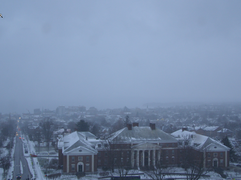
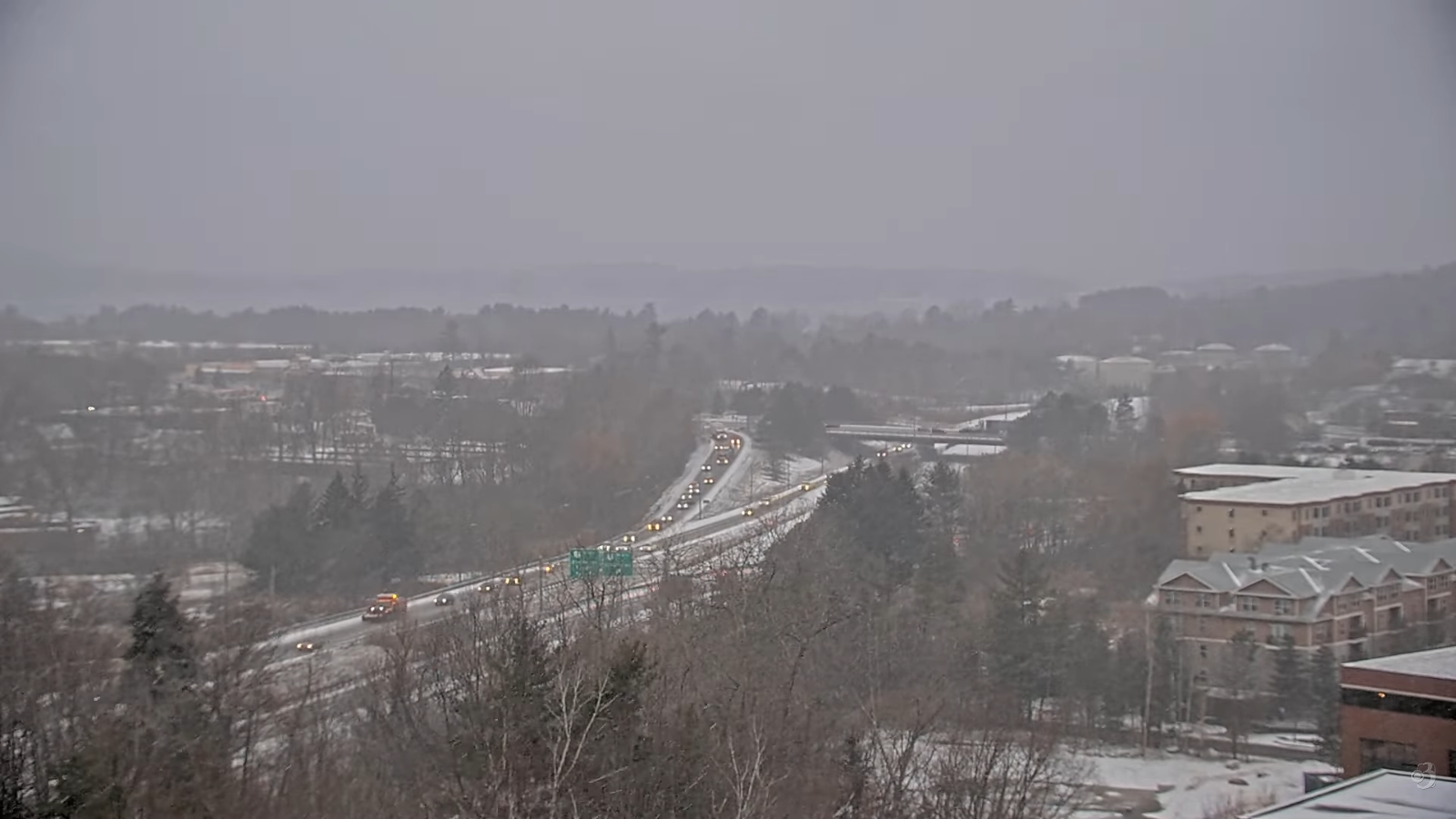
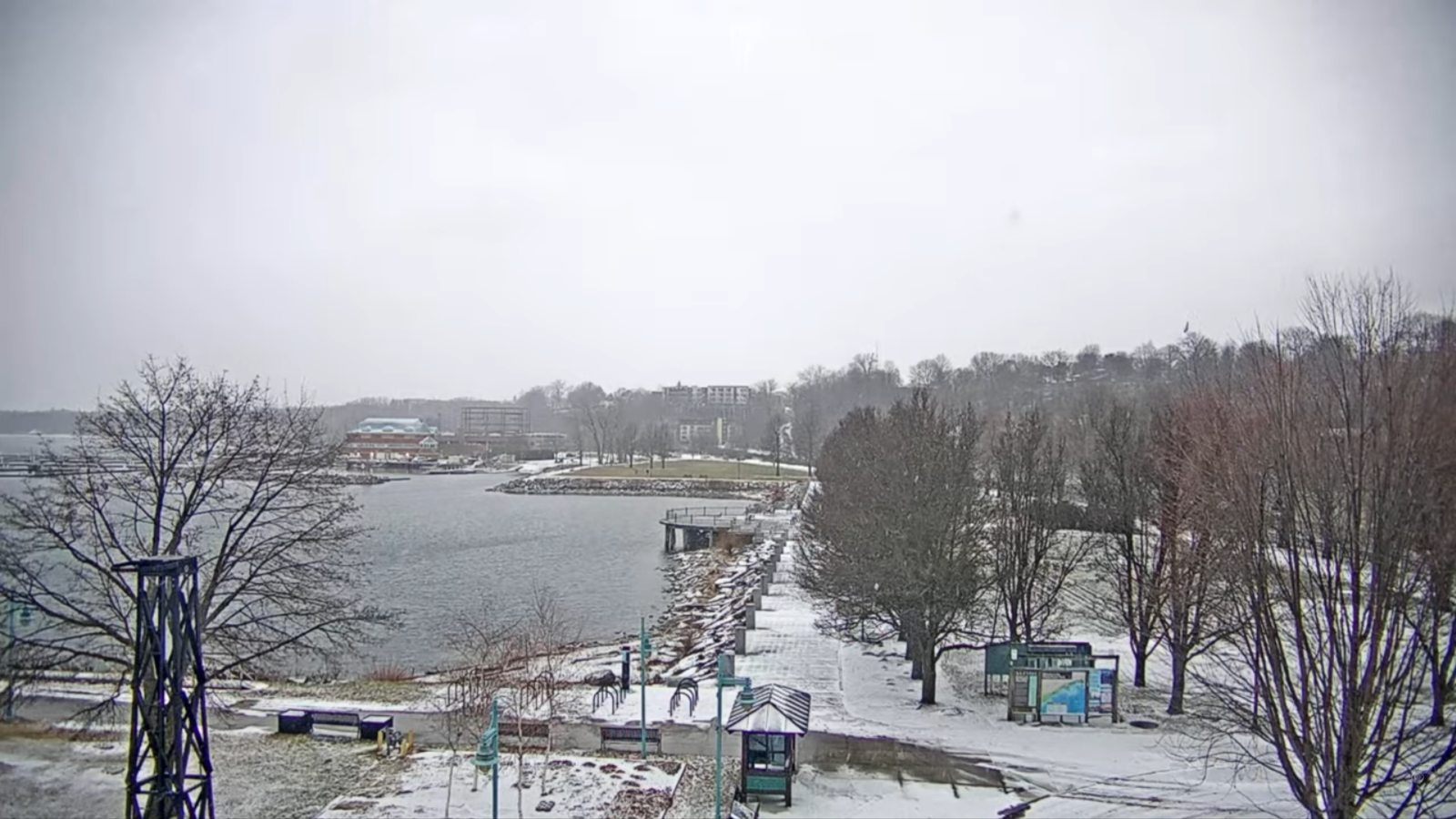
TONIGHT: Considerable clouds. Scattered flurries, especially northern and western areas. Less than an inch of accumulation. Blustery at times & colder. A low 5 to 10 above. West winds picking up 10 to 15 mph.
TOMORROW: Any early northern flurries exit, otherwisetopartly to mostly sunny. Much colder. A high mid-teens. West to northwest winds 10 mph.
FRIDAY NIGHT: Thickening clouds. A few flurries southern areas. A low ranging 5 below to 10 above. Light south wind.
SATURDAY: Some morning breaks of sun, then cloudy. Chance for flurries or light snow showers central & southern areas with a dusting to an inch. A high near 35. South winds 10 mph stronger near Lake Champlain.
Looking further ahead
SATURDAY NIGHT: Mostly cloudy. Chance for snow showers or flurries. Minor accumulation. A low 20 to 25.
SUNDAY: Clouds with occasional intervals of sun. Chance for a flurry with a dusting in spots. A high around 25.
MONDAY: Variable clouds, Slight chance for a flurry. Close to seasonal normal. Lows zero to 10 above. Highs 20s.
TUESDAY: Clouds mixing with sunshine. Chance for flurries. Little accumulation. Colder trend begins. Frigid. Lows 5 below to 5 above. Highs top near 10 degrees brrr.
Average low: zero to 10. Average high mid to upper 20s.
Admin: No forecast Monday, Tuesday next week 1/19 & 1/20
Approximate peak of winter or halfway point – January 22nd
RH/1-15/forecast][end] Fox Trot Delta Tango
