
Roger Hill’s Radio Vermont Forecast 3:00 PM WEDNESDAY 1-14-26
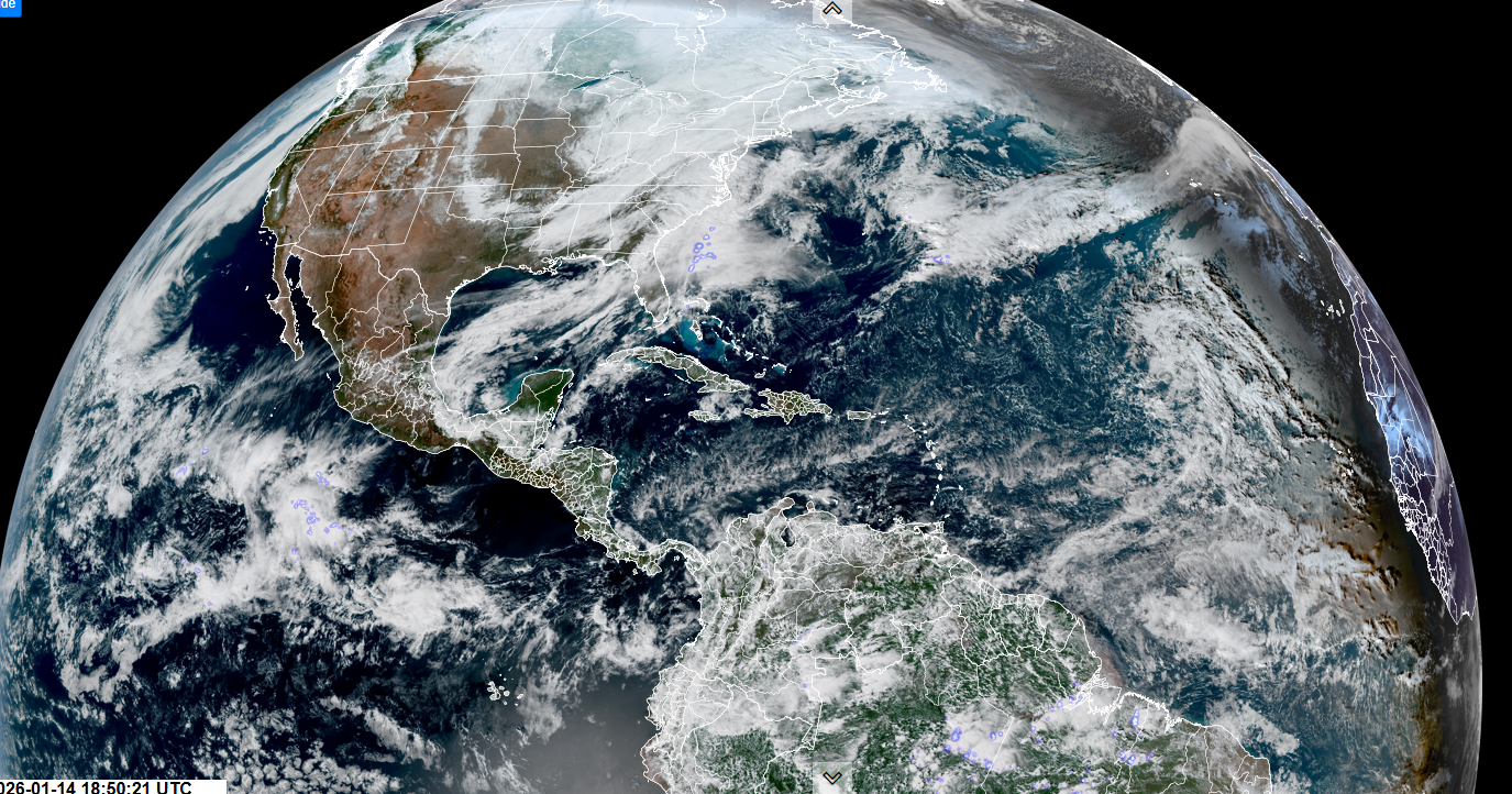
TONIGHT: Overcast. Periods of rain mixing with wet snow. Dusting to 2 slushy inches…most elevated terrain. A low near 32. Light east winds.
TOMORROW: Clouds with a late day break of sun. Wet snow showers early…tapering to scattered flurries mixed with rain drops in the afternoon. Additional dusting to a slushy inch. A high mid to upper 30s. Light southwest winds.
THURSDAY NIGHT: Cloudy. Scattered snow showers or flurries likely, especially northern areas with a minor accumulation. Blustery. Colder. A low 5 to 10 above. West winds picking up 10 to 25 mph.
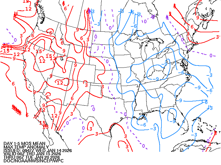
FRIDAY: Any early flurries exit, otherwise partly to mostly sunny. Much colder. A high mid to upper teens. Northwest winds 10 to 15 mph.
Looking further ahead
FRIDAY NIGHT: Mostly cloudy. A few mountain flurries. Lows single digits.
SATURDAY: Intervals of sunshine with clouds lingering near the mountains. Chance for flurries southern areas. Highs around 35.
SUNDAY: Mainly cloudy with break of afternoon sun. Chance for a snow shower or flurry. Little accumulation. Lows 20s. Highs around 32.
MONDAY: Morning clouds, Slight chance for a flurry. Intervals of afternoon sunshine. Close to seasonal normal. Lows 5 to 15. Highs in the 20s.
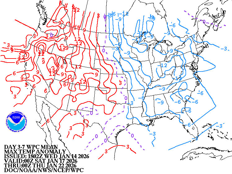
Average low: zero to 10. Average high mid to upper 20s.
Approximate peak of winter or halfway point – January 22nd
RH/1-14/forecast][end] Fox Trot Delta Tango
