
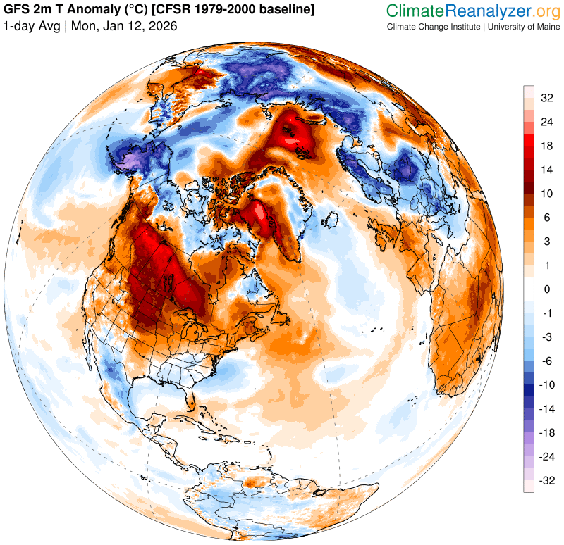
Roger Hill’s Radio Vermont Forecast 3:00 PM MONDAY 1-12-26
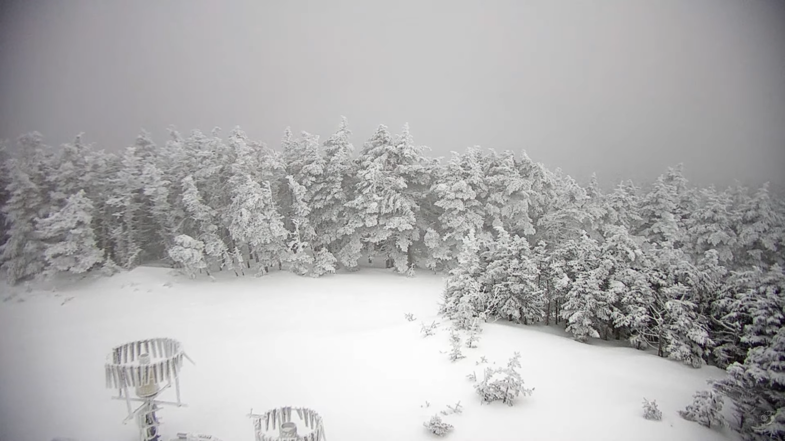
TONIGHT: Mostly cloudy.Scattered northern mountain flurries with a minor coating. A low in the middle 20s. Southwest winds 10 mph falling off overnight.
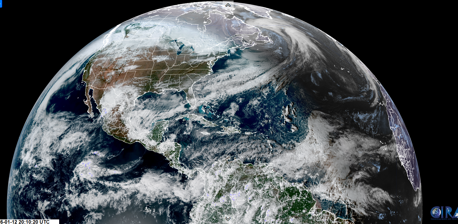
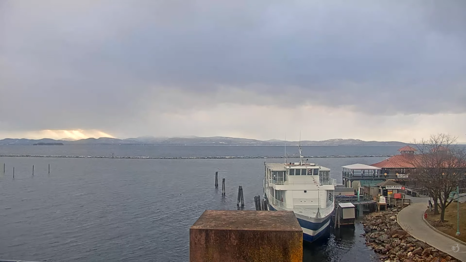
TOMORROW: Clouds maybe a break of sun, with possible stray flurries. A high around 35. Light south to southwest winds but breezier Lake Champlain.
TUESDAY NIGHT: Considerable clouds. An early low 30 to 32 warming some overnight. South winds 10 to 20 mph…stronger Lake Champlain.
WEDNESDAY: Generally gray with a break of sun. A high reaching near 40. Southwest winds 10 to 20 mph stronger near the lake.
Looking further ahead
WEDNESDAY NIGHT: Overcast. Rising chance for light wet snow or rain shower activity. Dusting western areas up to couple slushy inches Ct. River Valley. A low in the low 30s.
THURSDAY: Mainly cloudy. Scattered snow showers with a risk of a snow squall. A dusting to locally 2” mainly western areas. An early high near 32 degrees…colder into the afternoon.
FRIDAY: Partly to mostly sunny. Lows 5 below to 5 above. A high around 15.
SATURDAY: More clouds than sun. A few stray flurries northern areas. Lows 5 to 10 above. Highs about 25 to 32.
Average low: zero to 10. Average high mid to upper 20s.
Approximate peak of winter or halfway point – January 22nd
RH/1-9/forecast][end] Fox Trot Delta Tango
