
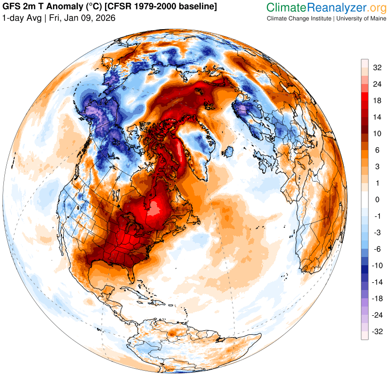
Roger Hill’s Radio Vermont Forecast 3:00 PM FRIDAY 1-9-26
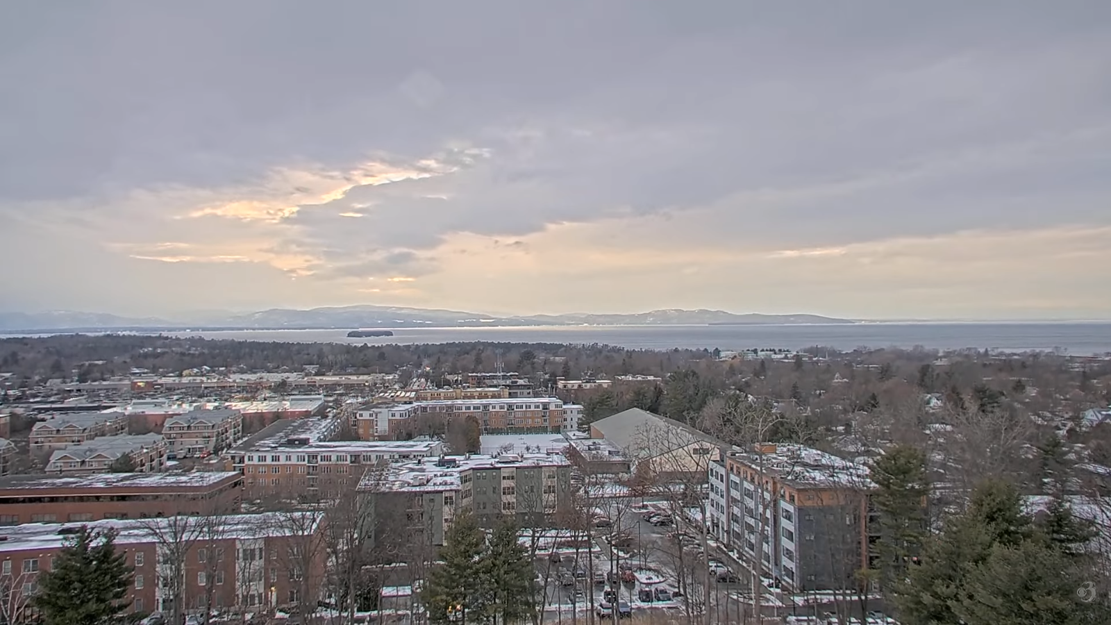
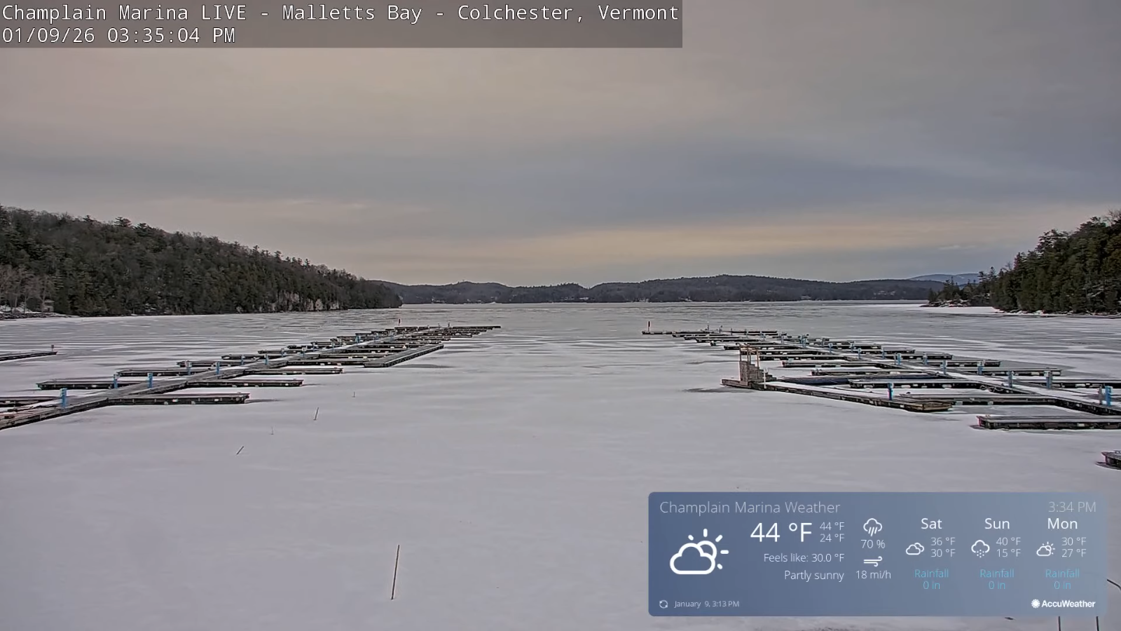
TONIGHT: Mostly cloudy. Scattered light rain showers drying up overnight. Blustery. Temperatures peak around 45 this evening…then falling into the upper 20s by sun-up. Southwest winds shifting to northwesterly 10 to 20 mph.
TOMORROW: Filtered sun through high cloudiness. A high near 35. Light north winds.
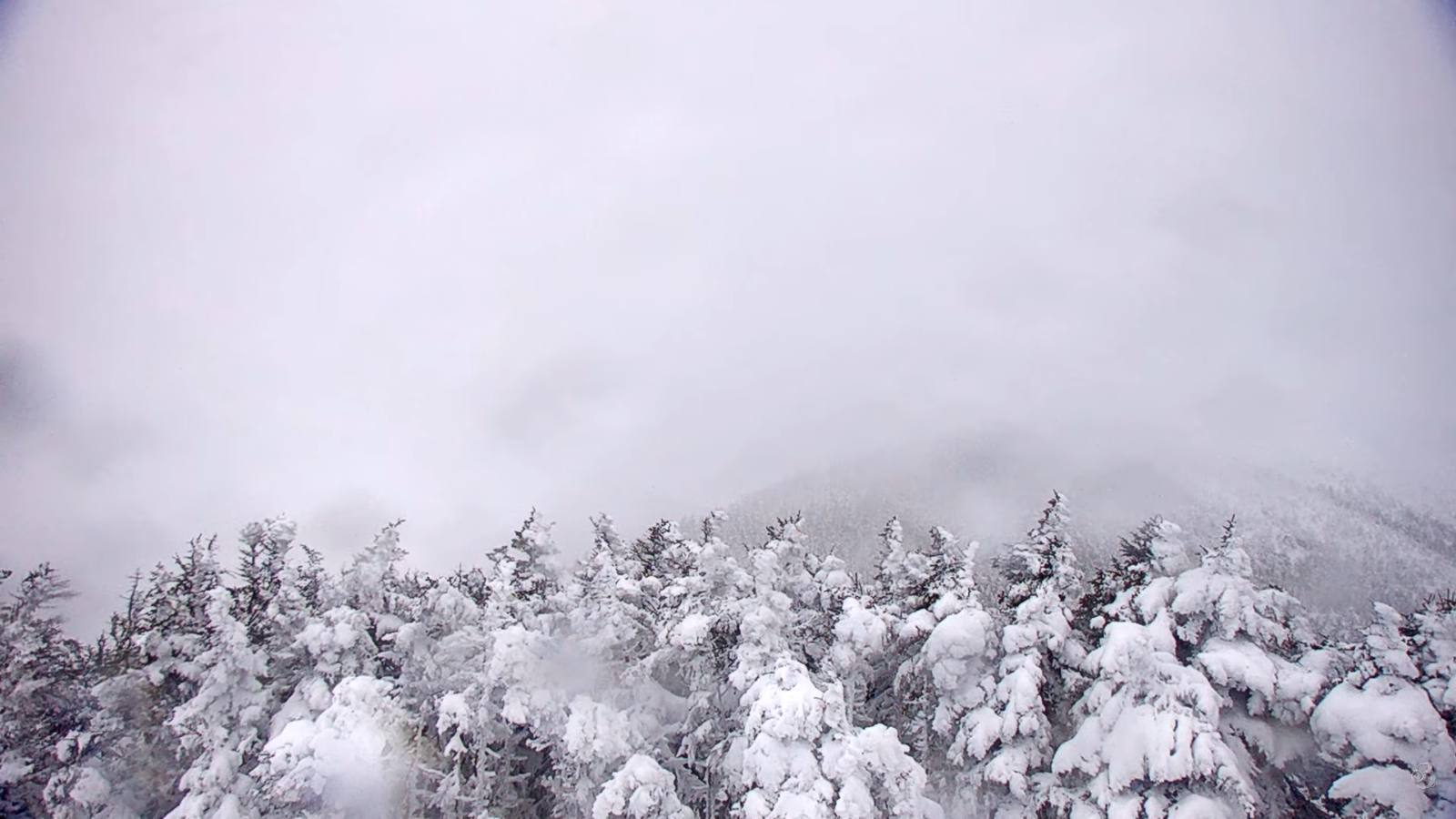
SATURDAY NIGHT: Cloudy. A wintry mix becoming likely, mostly as wet snow northern areas. Accumulation dusting with 2 to 3” northern areas. An early low around 30. East to southeast winds 10 mph.
SUNDAY: Scattered morning mixed precipitation, with wet snow showers northern areas with a minor coating. Intervals of afternoon sun. A high 32 to 35. West winds 10 to 15 mph.
Looking further ahead
SUNDAY NIGHT: Lots of clouds. Scattered snow showers/flurries & blustery with a risk for a snow squall. Dusting to an inch. Lows 15 to 20. Gusty northwest winds.
MONDAY: Clouds with a break of sun. Any flurries early exit. Highs near 25.
TUESDAY: Mainly cloudy. Chance for flurries with a light coating. Lows low 20s. Highs mid-30s.
WEDNESDAY: Considerable clouds. Chance for a stray flurry or sprinkle. Dusting early. Lows mid to upper 20s. Highs reach near 40.
Average low: low single digits to lower teens. Average high mid to upper 20s.
Approximate peak of winter or halfway point – January 22nd
RH/1-9/forecast][end] Fox Trot Delta Tango
