
Roger Hill’s Radio Vermont Forecast 3:00 PM TUESDAY 1-6-26
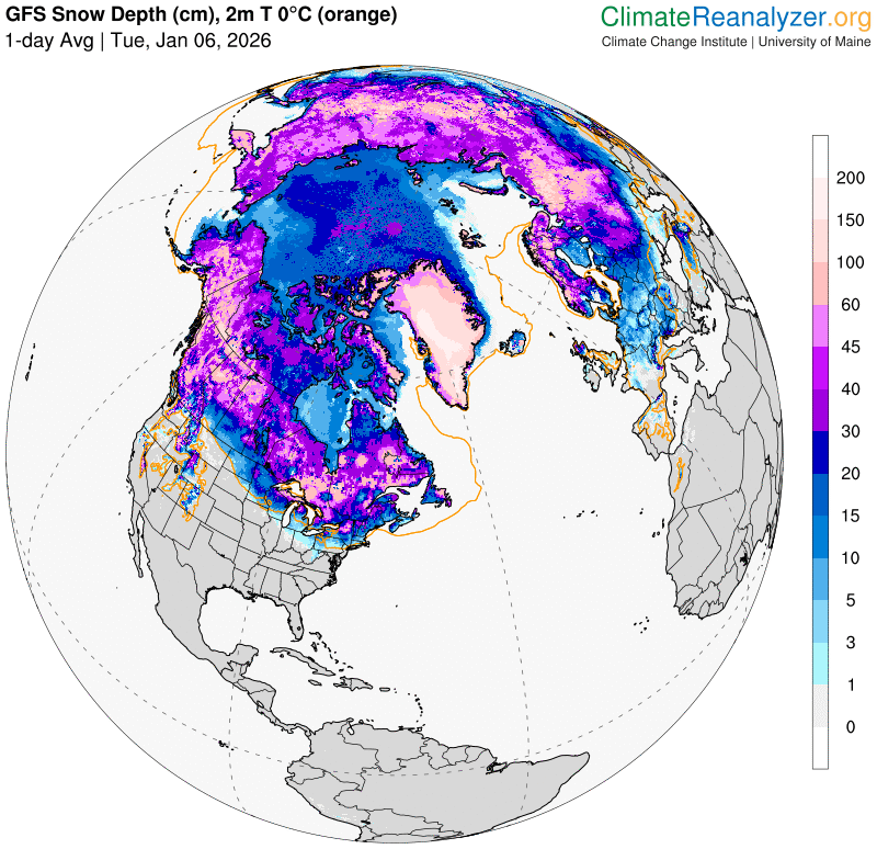
TONIGHT: Overcast. Snow showers arriving with a wintry mix southern areas. Accumulation about 1 to locally 3”. A low around 25. Light southeast winds.
TOMORROW: Gray. Scattered wet snow showers with a light slushy coating in the morning…drying up late. A high around 35. Light northwest winds in the afternoon.
WEDNESDAY NIGHT: Considerable cloudiness with a couple evening flurries. A low mid to upper 20s. Light west winds.

THURSDAY: Considerable clouds with breaks or intervals of late afternoon sun. A high mid to upper 30s. Northwest winds 10 mph.
Looking further ahead
THURSDAY NIGHT: High clouds thickening up overnight. Lows mid-teens to low 20s.
FRIDAY: Gray. Rising chance for light rain showers with isolated mixed precip at onset. Highs upper 30s around 40.

SATURDAY: High cloudiness. Mild. Temperatures in the low to mid 40s…falling into the 30s in the afternoon.
SUNDAY: Morning clouds then intervals of sun. Scattered wet snow flurries or sprinkles late afternoon. Lows upper 20s. Highs upper 30s near 40.
Average low: low single digits to lower teens. Average high mid to upper 20s.
Approximate peak of winter or halfway point – January 22nd
RH/1-6/forecast][end] Fox Trot Delta Tango
