

Roger Hill’s Radio Vermont Forecast 3:00 PM FRIDAY 1-2-26
Full Wolf Moon 5:03 AM…
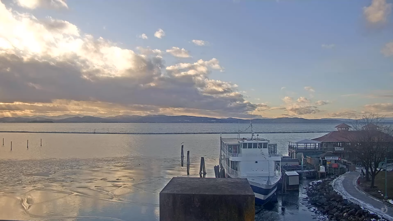
TONIGHT: Partly to mostly cloudy. Scattered northern mountain flurries with minor accumulation. A low ranging 5 below to 5 above. Light west winds.
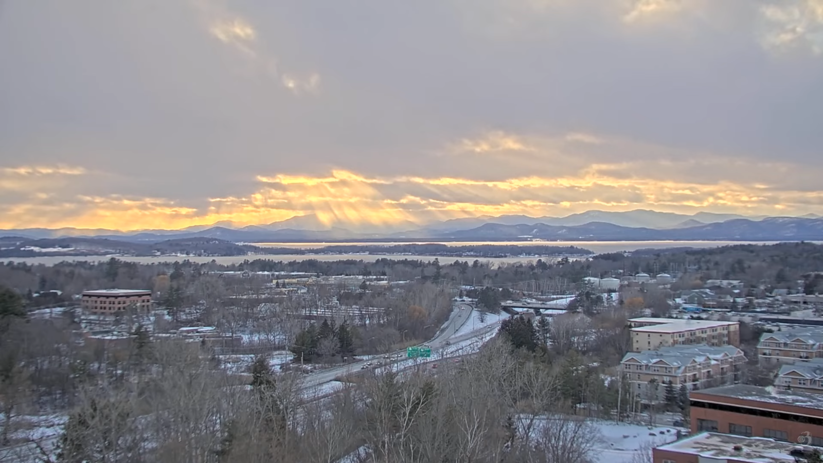
TOMORROW: A few morning flurries northern mountains exit. Otherwise, mixed clouds and sun. A high 10 to 15. Light northwest winds.
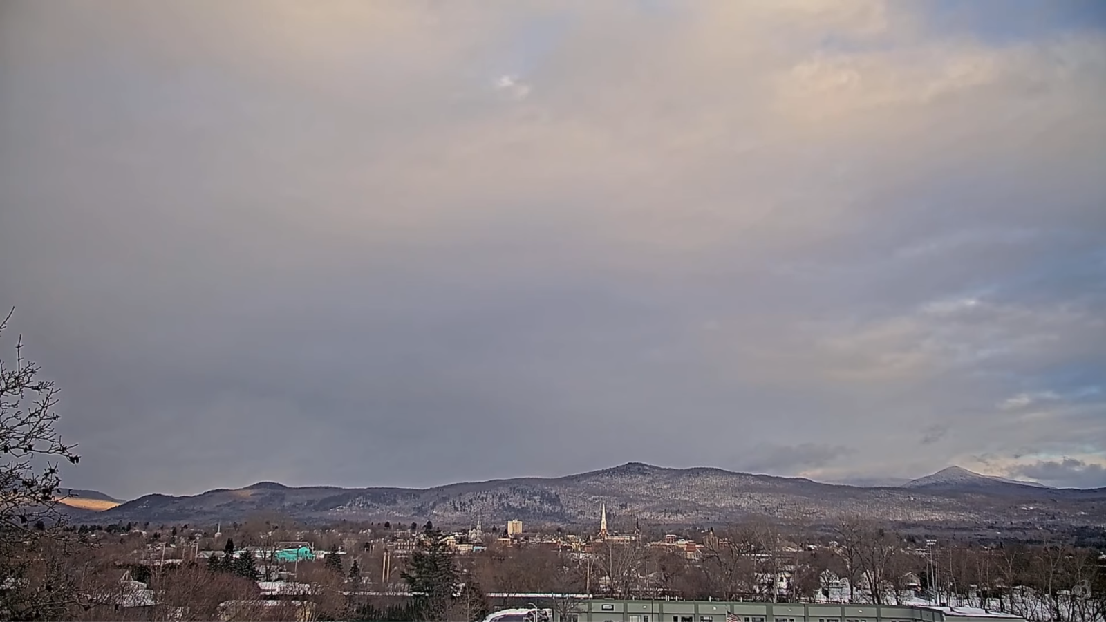
SATURDAY NIGHT: Mostly cloudy. Chance for flurries or light snow showers central and southern areas with light coating in spots. A low 5 below to 5 above, but minus 10 far north. Little wind.
SUNDAY: Partly sunny. A stray flurry southern areas. Blustery at times. A high around 15. Northwest winds 10 mph.
Looking further ahead
SUNDAY NIGHT: Partially moonlit and frigid. Lows 5 to 15 below zero.
MONDAY: Filtered morning sun, then clouding up. Highs in the low teens.
TUESDAY: Scattered flurries exit early. Otherwise partly sunny. Lows in the single digits. Late day highs mid to upper 20s.
WEDNESDAY: Gray. Chance for accumulating wet snow showers in the morning with couple few inches possible. Not so cold. Lows 20s. Highs 30s.
Average low: mid-single digits to low teens. Average high 25 to 30.
Approximate peak of winter or halfway point – January 22nd
RH/1-2/forecast][end] Fox Trot Delta Tango
