
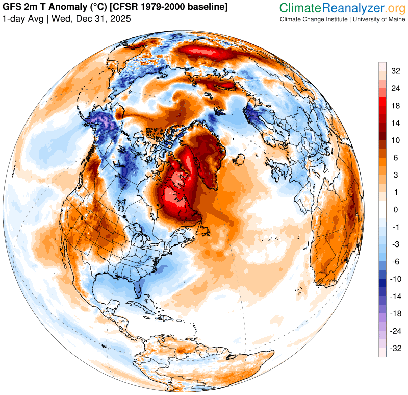
Roger Hill’s Radio Vermont Forecast 3:00 PM WEDNESDAY 12-31-25
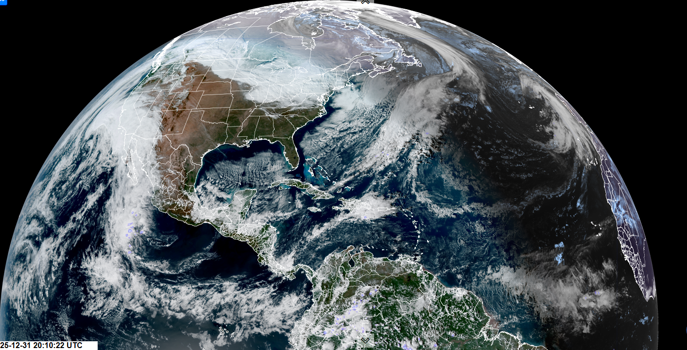
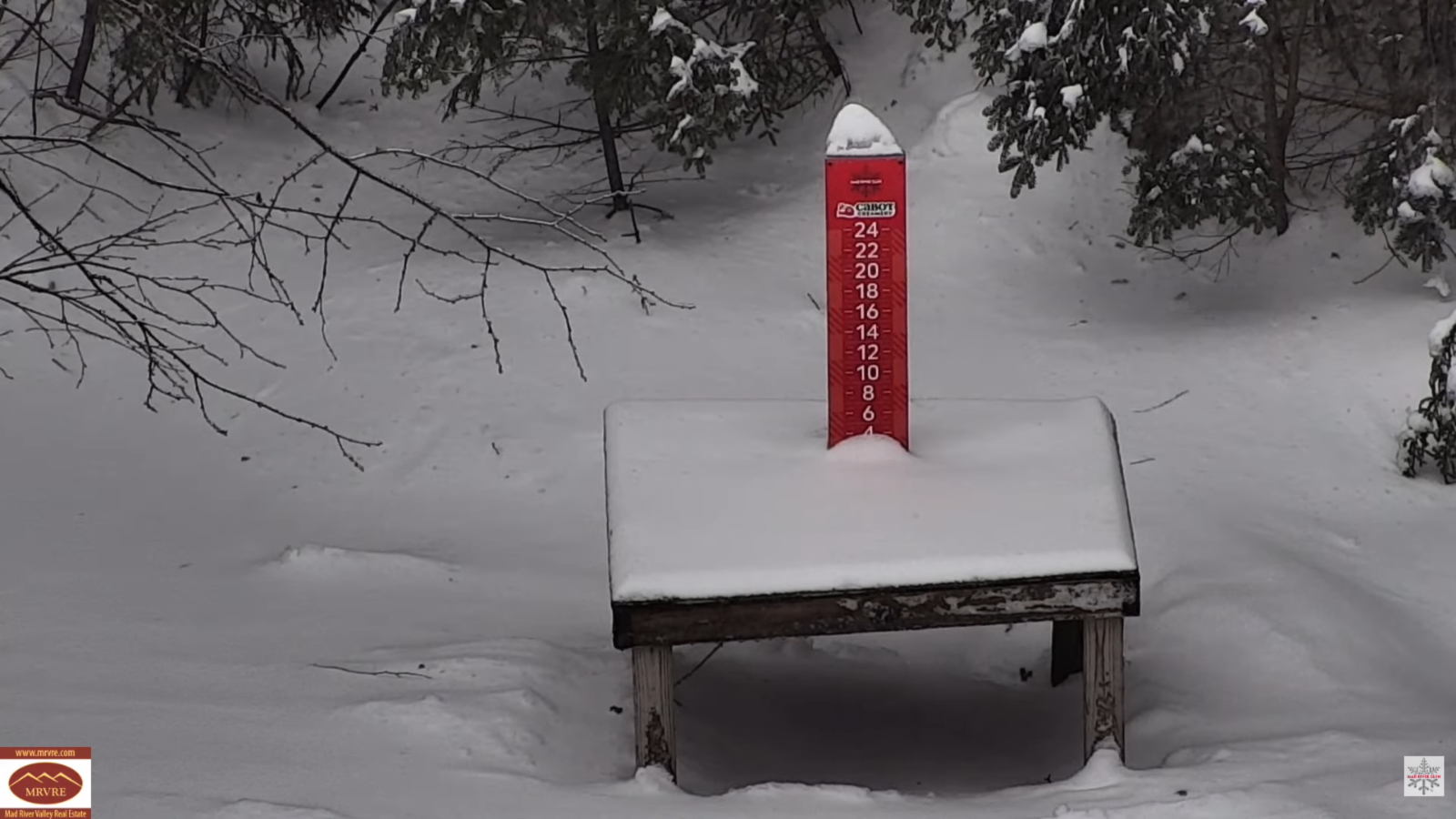
TONIGHT NEW YEARS EVE: Lots of clouds. A few flurries this evening…becoming more numerous as light snow showers overnight. Dusting to a couple fluffy inches. A low mid to upper teens. Light south winds.
TOMORROW NEW YEARS DAY: Morning flurries/light snow showers exit with a light coating in spots. Becoming partly to mostly sunny. An early high 15 to 20, then sharply colder with single digits into the afternoon. Winds shift to northwesterly 10 to 15 mph with lowered wind chills.
THURSDAY NIGHT: Partially moonlit. Maybe a stray northern mountain flurry. Frigid with a low 5 to 15 below. Light southwest winds.
FRIDAY: Isolated northern flurries. Otherwise partly sunny, continued cold. A high around 15. West winds 10 to 15 mph.

Looking further ahead
Full Wolf Moon 5:03 AM Saturday…
FRIDAY NIGHT: Partially moonlit. Scattered flurries with a light coating in spots. Lows 5 below to 5 above.
SATURDAY: A stray flurry or two early. Otherwise, mixed clouds and sun Highs mid-teens.
SUNDAY: Partly sunny. Blustery to windy…with low wind chills. Lows 10 below to 5 above. Highs 5 to 15 above.
MONDAY: Filtered morning sun, then clouding up. Lows 5 to 15 below. Highs 5 to 15 above.
Average low: mid-single digits to low teens. Average high 25 to 30.
Admin: No forecast New Year’s Day.. Back Friday
Approximate peak of winter or halfway point – January 22nd

RH/12-31/forecast][end] Fox Trot Delta Tango
