

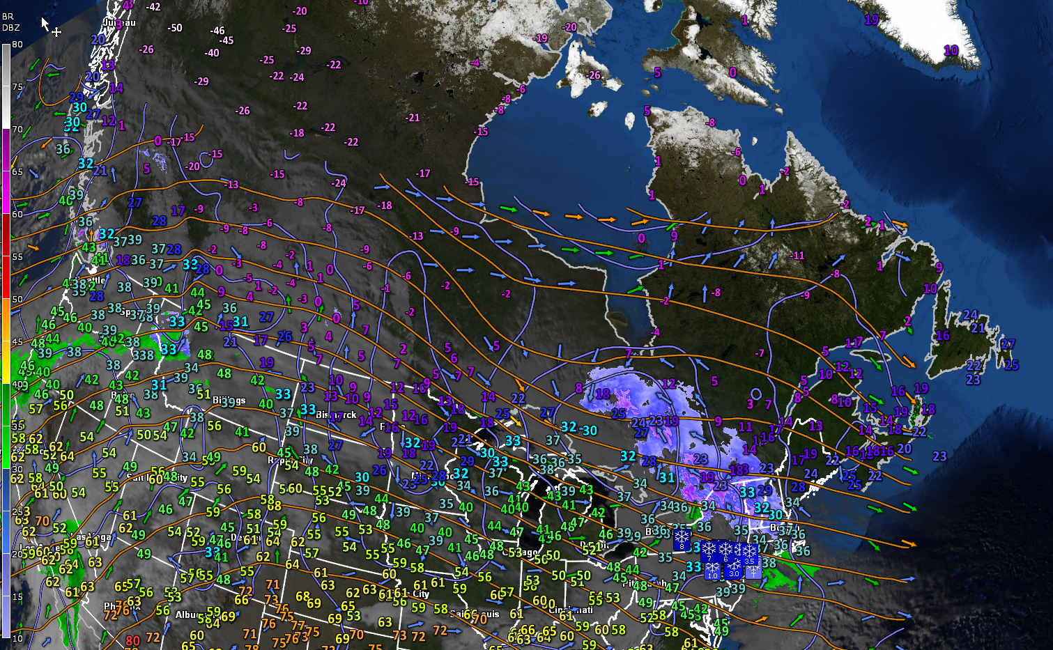
Roger Hill’s Radio Vermont Forecast 3:00 PM TUESDAY 12-23-25
Winter Weather Advisory thru 7 AM Wednesday…
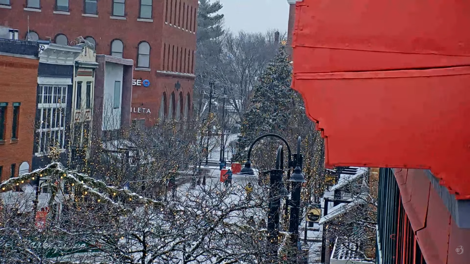
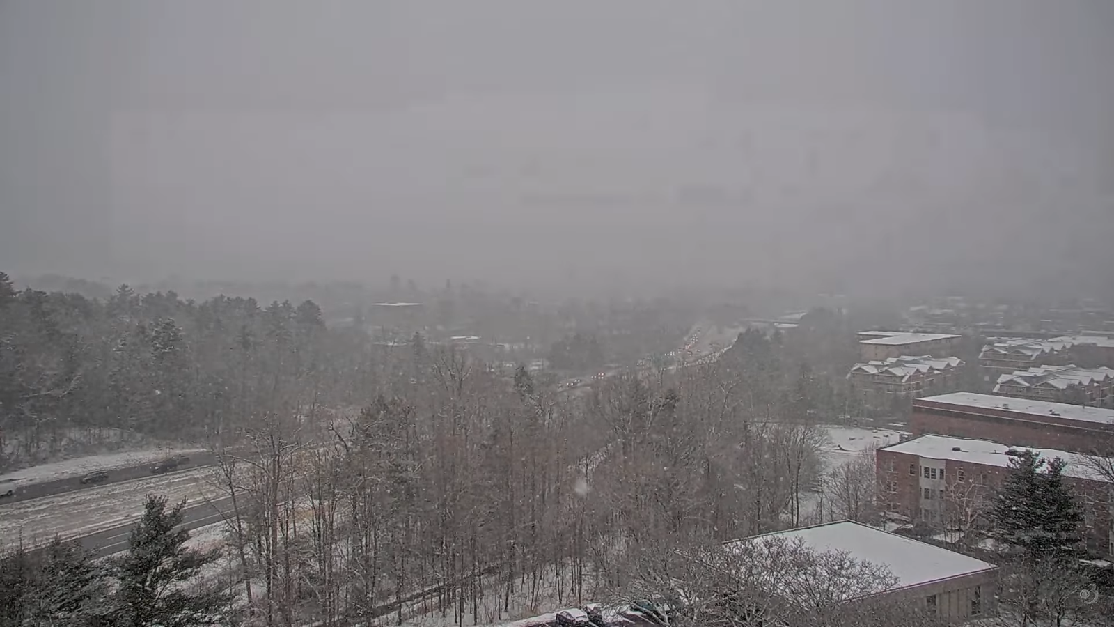
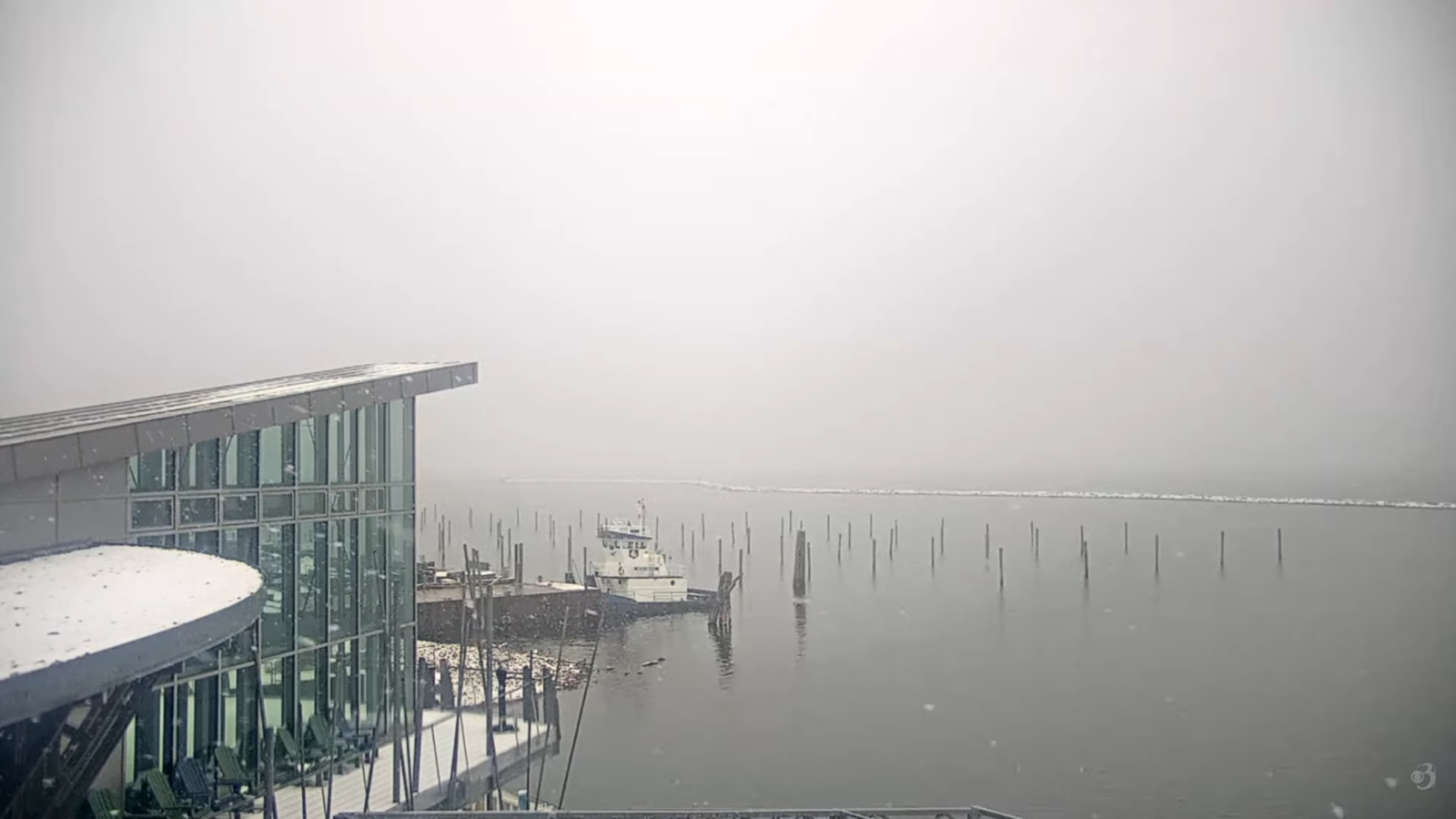
TONIGHT: overcast.Light snow…moderate at times toward daybreak especially northern areas. Accumulation around 3 to 4”. An evening low around 25. South winds shifting to northwesterly picking up toward daybreak 10 to 15 mph.
TOMORROW: A few flurries with a dusting exiting in the morning. Otherwise clouds with a few breaks of late day sun. Temperatures holding in the mid to upper 20s.Northwest winds 10 mph.
WEDNESDAY NIGHT CHRISTMAS EVE: Cloudy.Light snow showers likely after midnight with a light coating especially north.An early low in the mid-teens. Light southwest winds.
THURSDAY CHRISTMAS DAY: Clouds with a few breaks of sun becoming blustery. Scattered leftover snow showers/flurries with a light coating winds down late. A high mid to upper 20s. Northwest winds 10 to 20 mph.

Looking further ahead
THURSDAY NIGHT: Evening clouds then clearing. Frigid. A low zero to 10 below.
FRIDAY: Morning sun filtered through high clouds, thickening up in the afternoon. A high in the low to mid-teens.
SATURDAY: Overcast. Chance for light snow or snow showers with a light coating. Lows 5 below to 5 above. Highs 15 to 20.
SUNDAY: Morning sun then clouding up. Chance for flurries/light mixed precipitation arriving late western areas. Lows 5 to 15. Highs pushing 30 degrees.
Average low: mid-single digits to low teens Average high mid-20s to low 30s.
Admin: No forecast Tuesday December 30th
Full Wolf Moon January 3rd, 5:03 AM.
Approximate peak of winter or halfway point – January 22nd
RH/12-22/forecast][end] Fox Trot Delta Tango
