
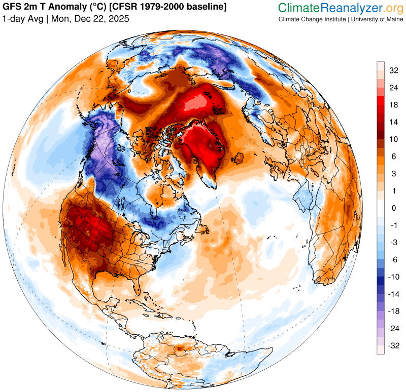
Roger Hill’s Radio Vermont Forecast 3:00 PM MONDAY 12-22-25
TONIGHT: Lots of clouds. A few flurries winding down before midnight with a dusting northern areas. A low around 15. Light southwest winds.
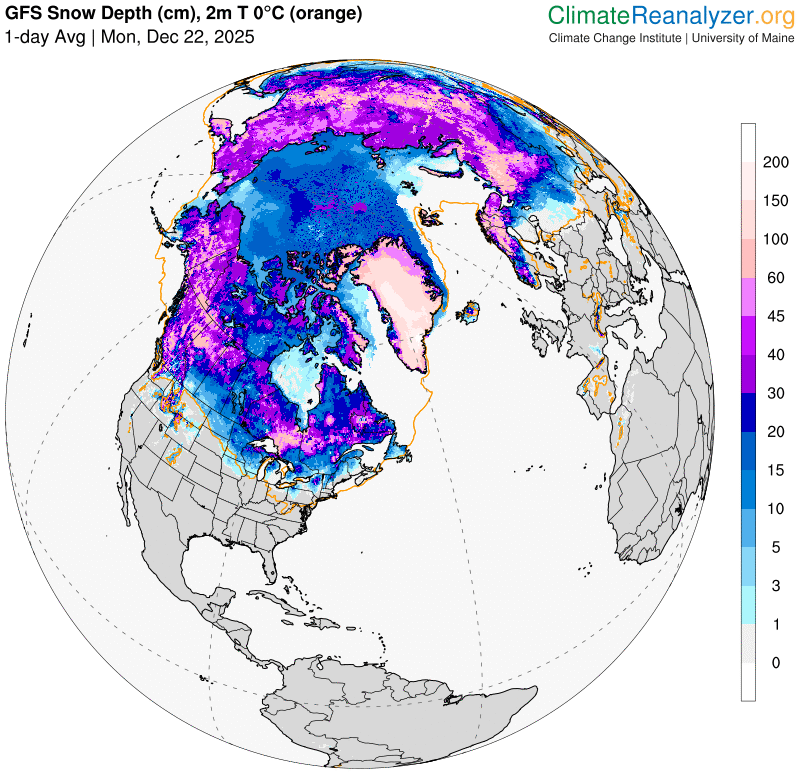
TOMORROW: Overcast.Light accumulating snow or snow showers developing mid-day. Accumulation 1 to 2”. A high upper 20s/near 30. Southeast winds 10 mph, breezier Lake Champlain.
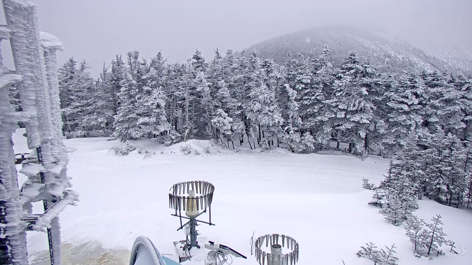
TUESDAY NIGHT: Cloudy.Occasional light snow showers with additional inch or two mainly mountains. A low 20 to 25. Northwest winds developing 10 to 15 mph.
WEDNESDAY: A few flurries exiting early. Otherwise clouds with breaks of late day sun. A high in the mid to upper 20s.North to northwest winds 10 mph.
Looking further ahead

WEDNESDAY NIGHT CHRISTMAS EVE: Cloudy.Chance for flurries or light snow showers developing after midnight with up to an inch fluff far north.An early low single digits rising into the teens.
THURSDAY CHRISTMAS DAY: Clouds with a few breaks of sun. Scattered mountain flurries with a dusting in spots. A high mid to upper 20s.

FRIDAY: More clouds than sun. Frigid. A low 5 to 15 below. A high in the low to mid-teens.
SATURDAY: Mostly cloudy. Scattered flurries central and southern areas exiting. Lows around 10. Highs 15 to 20.
Average low: mid-single digits to low teens Average high mid-20s to low 30s.
Admin: No forecast Tuesday December 30th
Full Wolf Moon January 3rd, 5:03 AM.
Approximate peak of winter or halfway point – January 22nd
RH/12-22/forecast][end] Fox Trot Delta Tango
