
Roger Hill’s Radio Vermont Forecast 3:00 PM TUESDAY 12-16-25
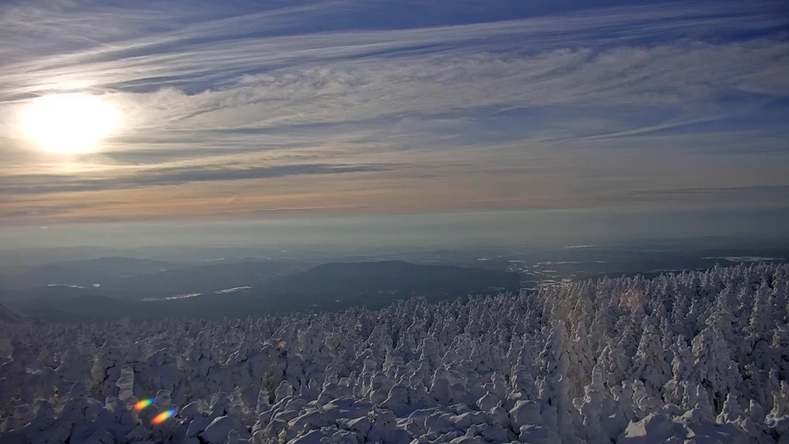
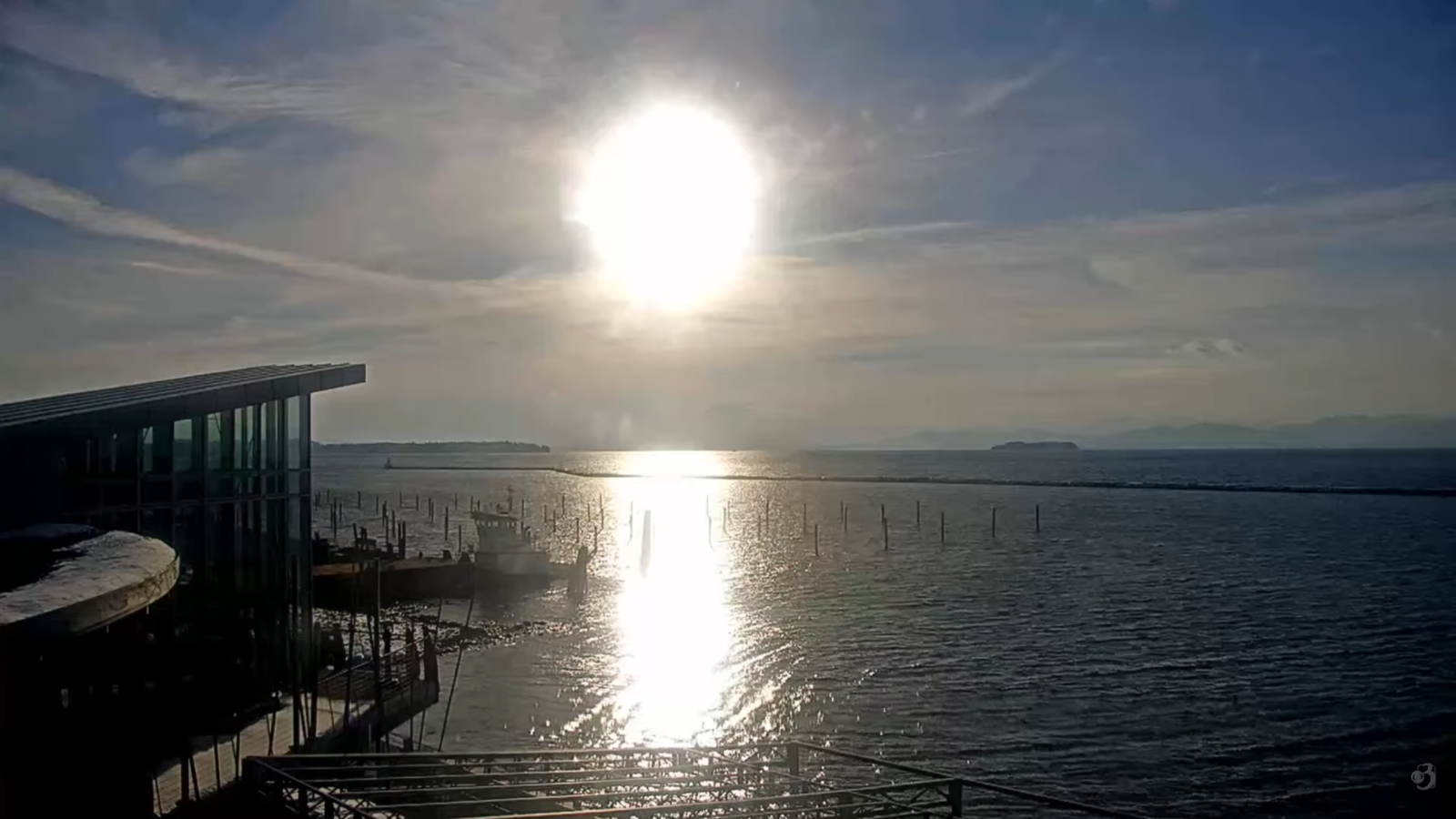
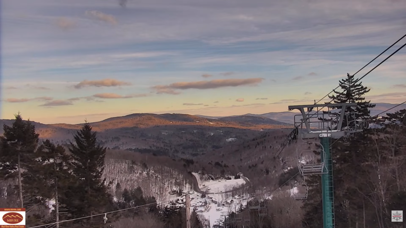
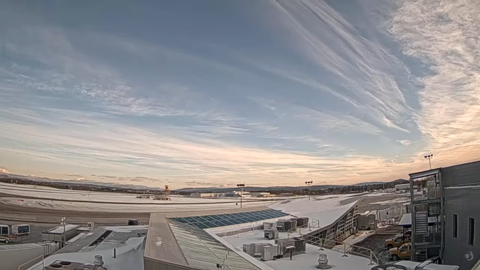
TONIGHT: Mid & high cloudiness.An evening low around 15. South to southwest winds 10 mph stronger near the lake.
TOMORROW: Gray.Scattered flurries mixed with rain drops valleys in the afternoon far northern areas. A dusting high terrain Quebec border. A high in the mid-30s. Southwest winds 10 to 20 mph.
WEDNESDAY NIGHT: Leftover evening northern Vermont flurries with a dusting in spots, then clearing. Blustery. A low 10 to 15. West to northwesterly winds 10 to 20 mph lowering wind chills falling off overnight.
THURSDAY: Filtered sunshine thru high clouds. A high mid to upper 30s. Light south breeze stronger near Lake Champlain.
Looking further ahead
THURSDAY NIGHT: Good chance for rain developing around midnight…moderate at times. Watch for icy spots. An evening low near 32 degrees.
FRIDAY: Good chance for wind driven rain…moderate at times with areas of fog and melting snow in the morning. Good chance for rain, mixing with wet snow, A light slushy coating hills. Breezy to windy. A morning high 45 to 50…sharply colder with possible flash freeze evening commute. Gusty southerly winds shifting to westerly in the afternoon up to 45 mph with potential power outages.
SATURDAY: Partly sunny early then thickening clouds. A round of flurries possible far north in the afternoon with a dusting. Lows low to mid-teens. Highs around 25
SUNDAY: Scattered snow showers/squalls northern areas. Continued blustery. Morning low 25 to 30. Highs 30s.
Average low: mid-teens to near 20 Average high upper 20s to low 30s.
Admin: No forecast tomorrow Wednesday December 17th
Winter Solstice 3:03 PM Saturday December 21st
Full Wolf Moon January 3rd, 5:03 AM.
Approximate peak of winter or halfway point – January 22nd
RH/12-16/forecast][end] Fox Trot Delta Tango
