
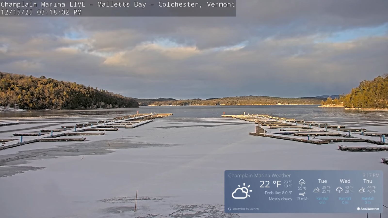
Roger Hill’s Radio Vermont Forecast 3:00 PM MONDAY 12-15-25
TONIGHT: Mostly cloudy.A few flurries northern mountains.A low ranging zero to 15 above warmest western valleys. Light southwest winds.
TOMORROW: Partly sunny.A high around 25.Light southwest winds strong near Lake Champlain.
TUESDAY NIGHT: Mid & high cloudiness.An early low in the low to mid-teens. South to southwest winds 10 mph stronger near the lake.
WEDNESDAY: Gray.Rising chance for snow showers or flurries mixed with rain drops valleys in the afternoon. A dusting to an inch mainly near Quebec border. A high around 35. West to southwest winds 10 to 20 mph.
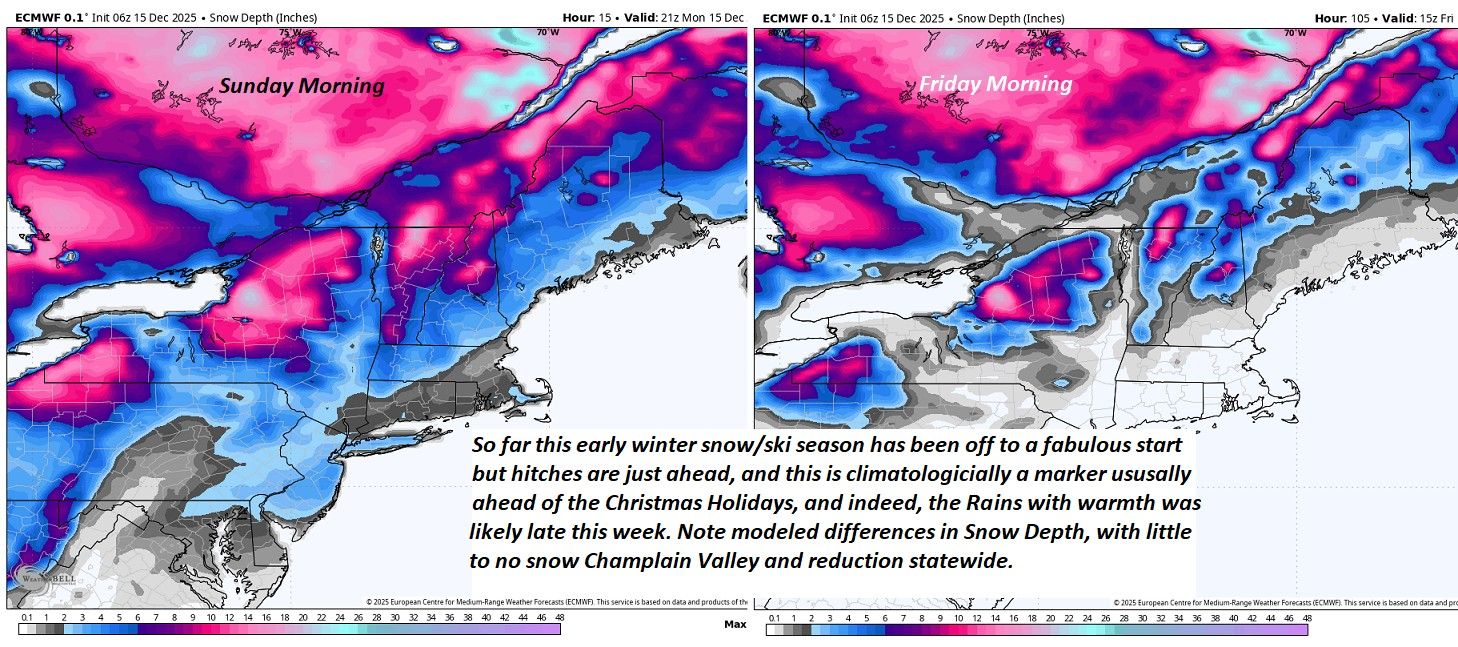
Looking further ahead
WEDNESDAY NIGHT: Chance of leftover evening flurries then clearing. A dusting in spots. A low in the teens.
THURSDAY: Filtered sunshine thru high clouds. A high in the upper 30s. Rising chance for rain Thursday night. Watch for icy spots.
FRIDAY: Chance for wind driven rain…moderate at times…changing or mixing with wet snow. Lots of snow-meltwater – valleys, A couple slushy inches high mountains. Morning lows in the 30s. Breezy to windy. Highs pushing toward 50…falling sharply into the 20s with possible flash freeze after dark.
SATURDAY: Partly sunny early then thickening clouds. Rising chance for light snow or flurries, a light coating possible. Lows teens. Highs low to mid 20s.
Average low: mid-teens to near 20 Average high upper 20s to low 30s.
Admin: No Forecast Wednesday December 17th
Winter Solstice 3:03 PM Saturday December 21st
Full Wolf Moon January 3rd, 5:03 AM.
Approximate peak of winter or halfway point – January 22nd
RH/12-15/forecast][end] Fox Trot Delta Tango
