

Roger Hill’s Radio Vermont Forecast 3:00 PM THURSDAY 12-11-25 COR
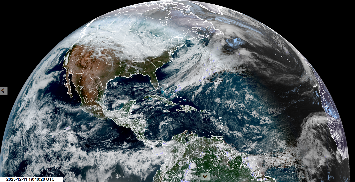
Winter Weather Advisory northern Green Mountains into tomorrow morning…
TONIGHT: Mostly cloudy. Blustery to windy with flurries & a risk for a snow squall. Dusting to 3” with up to locally 7” western mountain upslope areas. A low in the low teens. West winds 10 to 25 mph occasional blowing and drifting.
Meteorological winter begins (Coldest 90 days)
TOMORROW: Morning flurries especially Northeast Kingdom with minor accumulation…winds down to intervals of sun. A high in the lower 20s. West to northwest winds 10 to 20 mph.
FRIDAY NIGHT: Lots of clouds. Chance for a stray flurry. A low 10 to 15. Light southwest winds.
SATURDAY: Clouds with a stray flurry or two western areas. A high around 25. Southwest winds 10 mph stronger Lake Champlain.

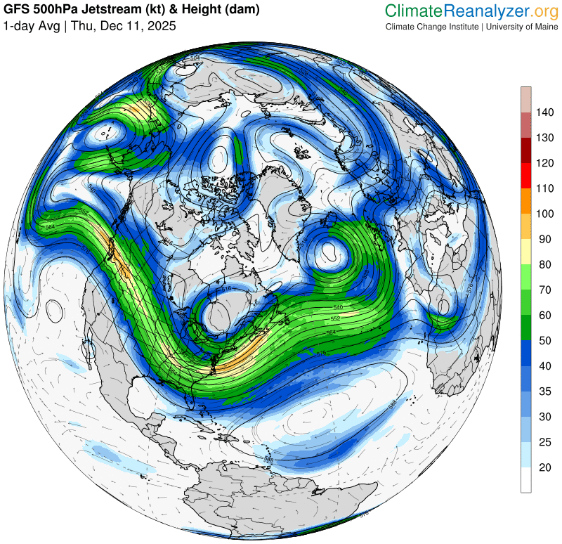
Looking further ahead
SATURDAY NIGHT: Chance for a flurry or two far southern areas. A low in the low teens.

SUNDAY: Chance for flurries mainly western areas. Partial late afternoon sunshine. A high in the low 20s.
MONDAY: More clouds than sun. A stray flurry western areas early. Lows single digits. A high around 15.

TUESDAY: Partly sunny. Lows single digits. Highs 20s.
Average low: mid-teens to near 20 Average high: low to mid 30s.
Admin: No Forecast off Wednesday December 17th (Medical, a few Wednesdays yet to come into January)

Winter Solstice 3:03 PM Saturday December 21st
Full Wolf Moon January 3rd, 5:03 AM.
RH/12-11/forecast][end] Fox Trot Delta Tango
