
Roger Hill’s Radio Vermont Forecast 3:00 PM TUESDAY 12-9-25
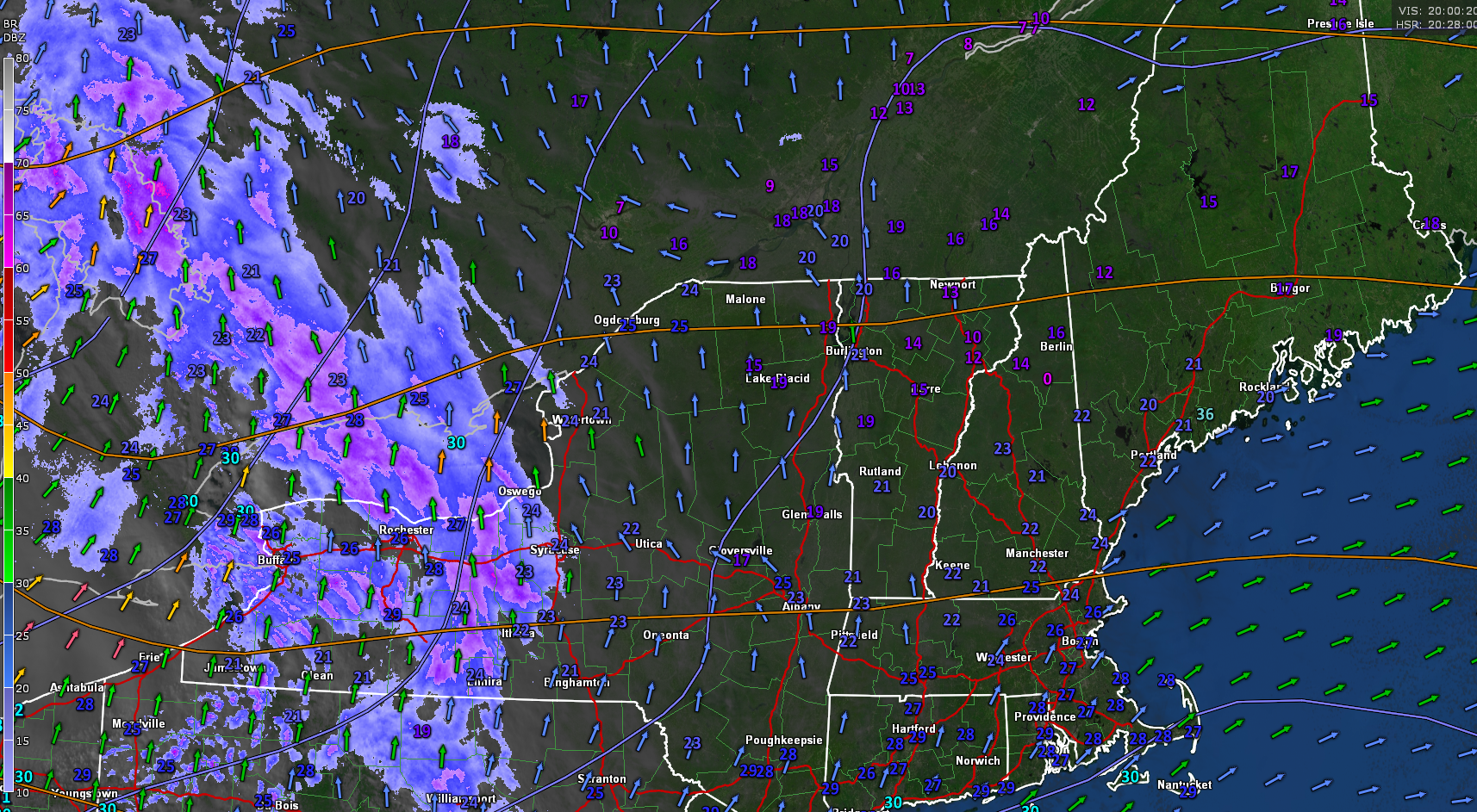
Winter Weather Advisories portions of the Green Mountains and central Vermont 7 AM Wednesday thru 1 AM Thursday…
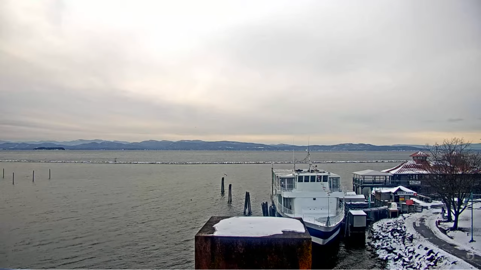
TONIGHT: Lots of clouds. Scattered snow showers or flurries develop this evening. Dusting to an inch mainly northern areas. Temperatures rising into the 20s. South winds 10 to 15 mph, stronger Lake Champlain.
TOMORROW: Cloudy. Snow arriving mid-morning…moderate at times with slushy travel. About 2 to locally 5 inches. A late day high near 32. Southeast winds 10 mph, breezier near the lake.
WEDNESDAY NIGHT: Mostly cloudy. Periods of wet snow tapering off to a stray flurry. Additional inch or so of slush. Not too cold. A low around 30. Southwest winds 10 to 20 mph & gusty.
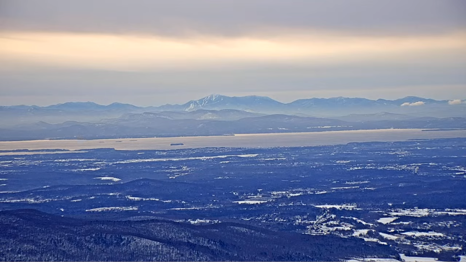
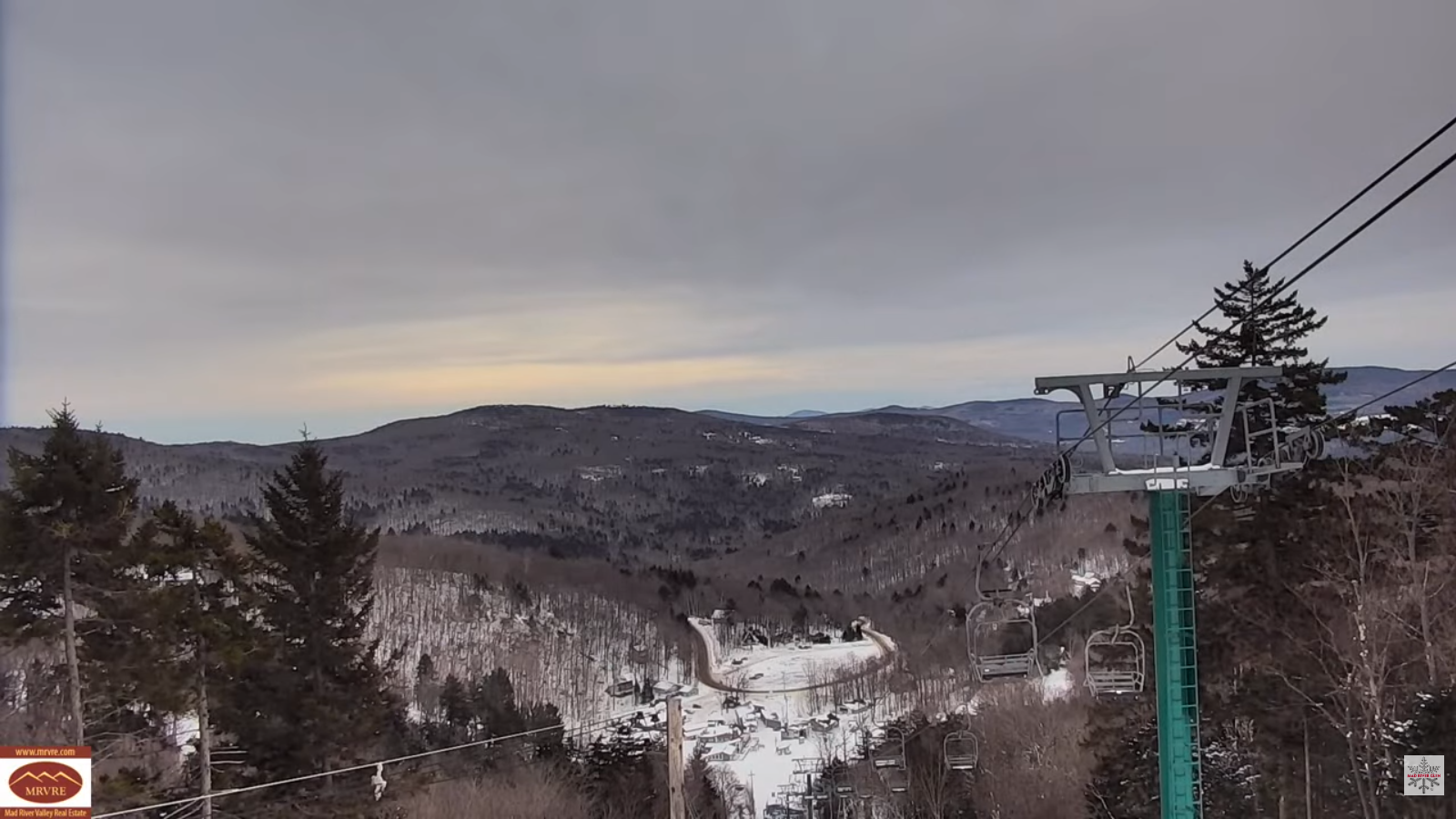
THURSDAY: Clouds with a few intervals of sun. A few lingering flurries pick up more in the late afternoon. A light coating western areas. Blustery and colder. Early high around 25, falling into the teens in the afternoon. West winds 10 to 25 mph and gusty.
Looking further ahead
THURSDAY NIGHT: Mostly cloudy. Blustery to windy with flurries & a risk for a snow squall. Dusting to 2” accumulation. Lows around 10.
Meteorological winter begins (Coldest 90 days)
FRIDAY: An early flurries exit to increasing sunshine. Highs near 20.
SATURDAY: Clouds with few intervals of sun. Lows single digits to low teens. Highs mid to upper 20s.
SUNDAY: Mostly cloudy. Chance for snow showers or flurries with a light coating. A low in the teens. Highs 20s.
Average low: mid-teens to near 20 Average high: low to mid 30s.
Admin: No Forecast off Wednesday (Medical a few Wednesdays to come into January)
Winter Solstice 3:03 PM Saturday December 21st
RH/12-9/forecast][end] Fox Trot Delta Tango
