

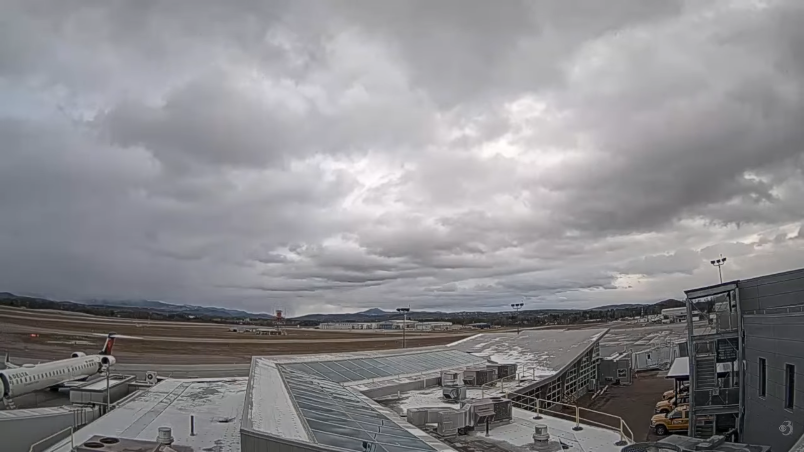
Roger Hill’s Radio Vermont Forecast 3:00 PM FRIDAY 11-28-25
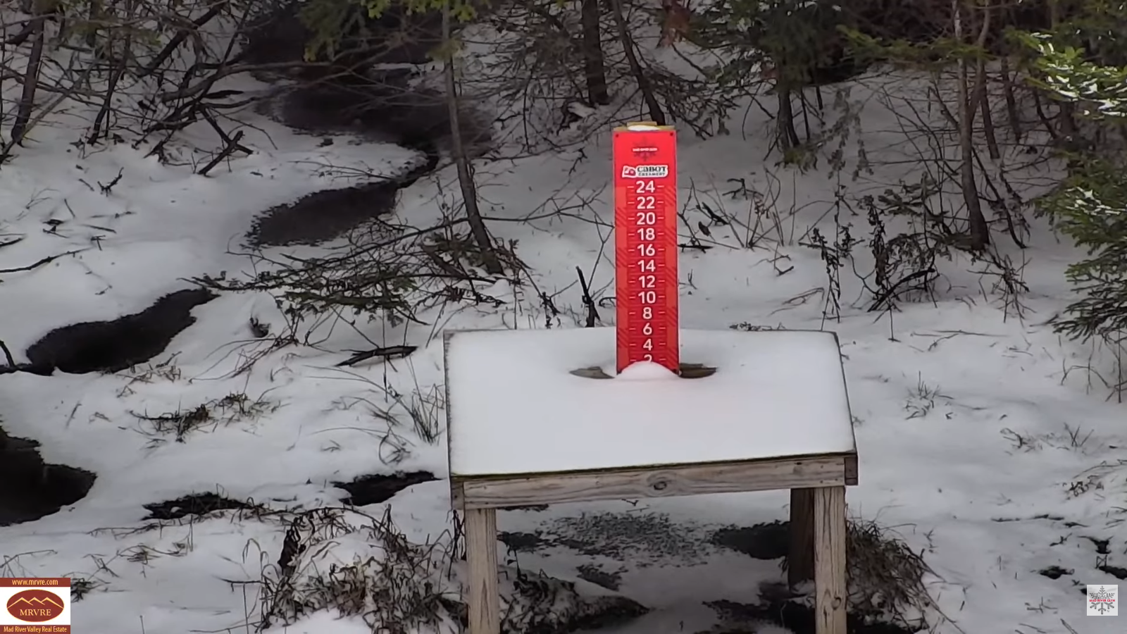
TONIGHT: Occasional snow showers/flurries northern areas winding down. An inch or two northern Green Mountains. A low around 25. West to northwest winds 10 to 20 mph.
TOMORROW: Partly to mostly sunny but chilly. A high about 32. West to northwest winds 10 to 15 mph.
SATURDAY NIGHT: Fair early then clouding up.Chance for more snow showers toward daybreak. A low in the upper teens. Light winds.
SUNDAY: Gray. Light wet snow showers likely by mid-morning…mixing with rain in the valleys in the afternoon with a dusting to a couple inches mountains. A high in the mid-30s. Winds becoming southeasterly 10 to 20 mph.
Looking further ahead

SUNDAY NIGHT: Variable clouds. Scattered mixed rain and wet snow showers with light coating in spots. A low 25 to 30.
MONDAY: Morning clouds with any stray flurries dry up to bright afternoon sunshine. Colder. A high in the mid-20s.
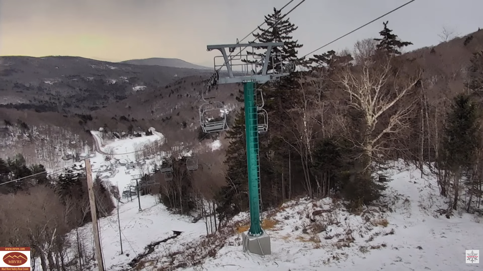
TUESDAY: Thickening clouds. Chance for light accumulating snow of a couple to few inches possible. A low 5 to 15 above. Highs 25 to 30.
WEDNESDAY: Sunshine mixing with afternoon clouds. Lows 15 to 25. Highs 25 to 30.
Average low: low to mid 20s Average high: mid 30s to low 40s
Admin: Time off (no forecast) Wednesday December 3rd.
Full Cold Moon Dec. 4th 6:14 PM EST
Meteorological winter begins December 12th

RH/11-28/forecast][end] Fox Trot Delta Tango
